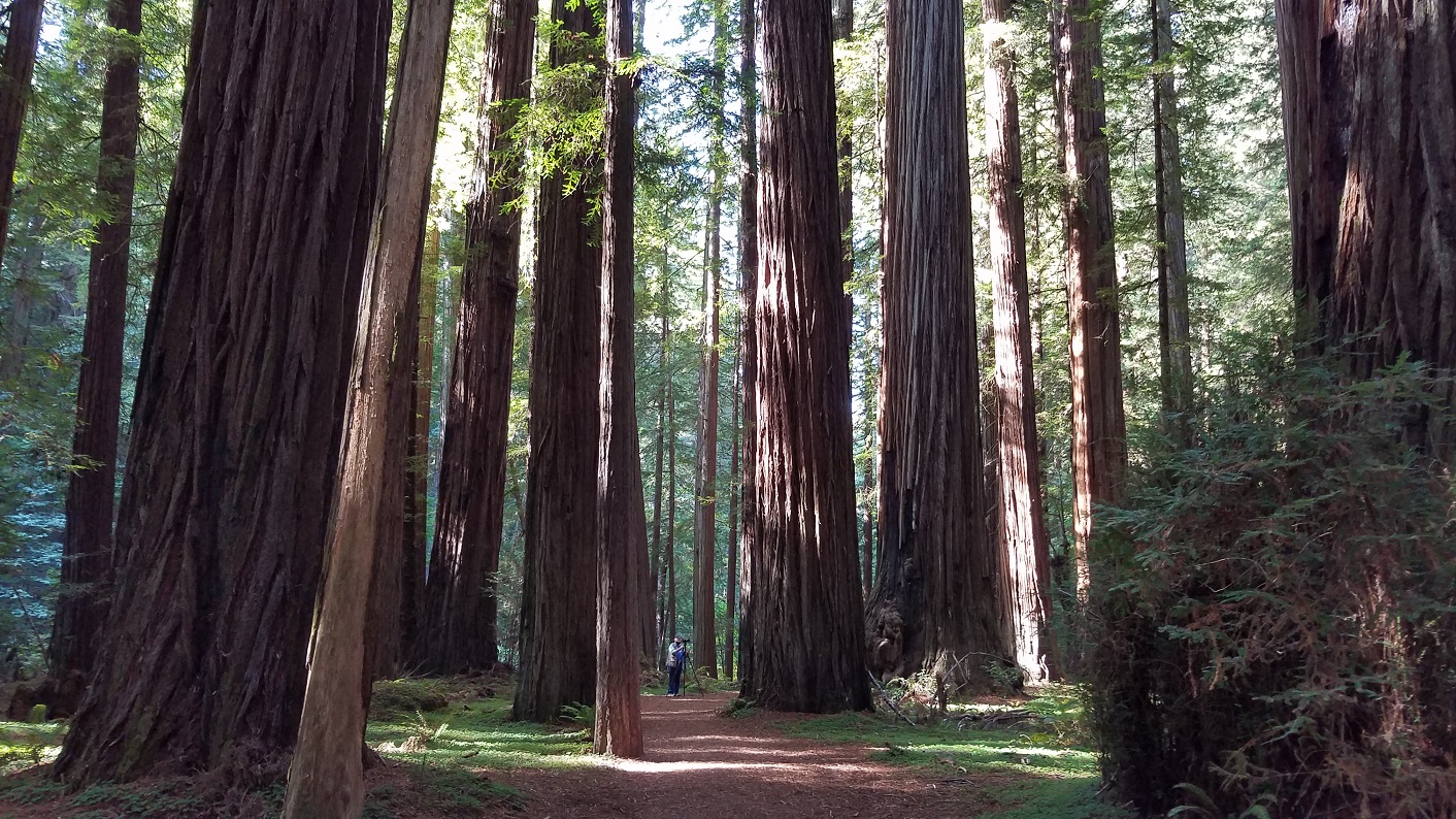
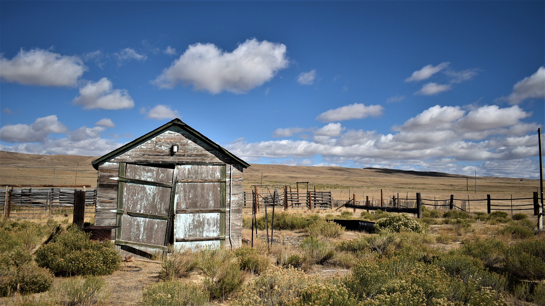
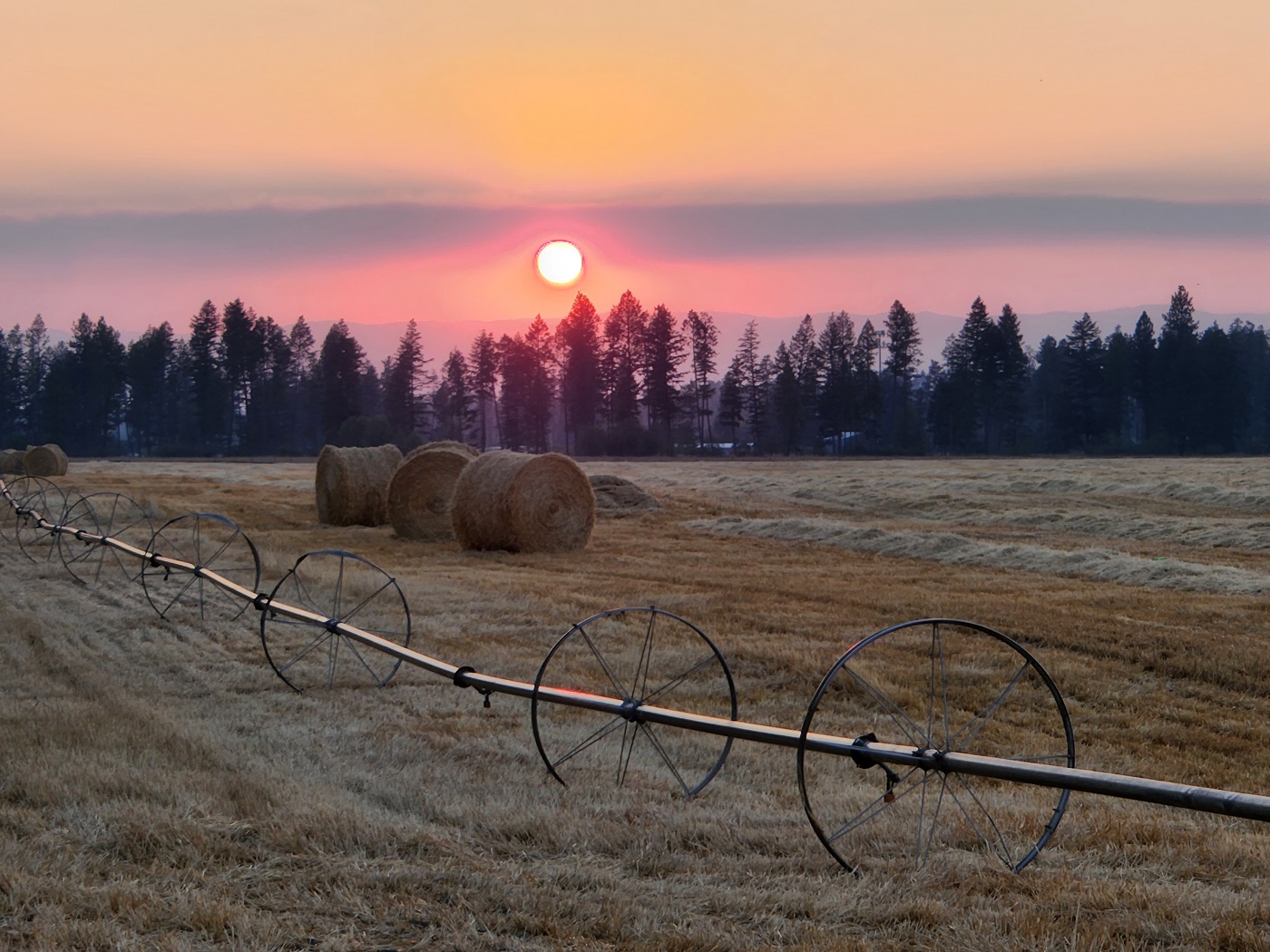
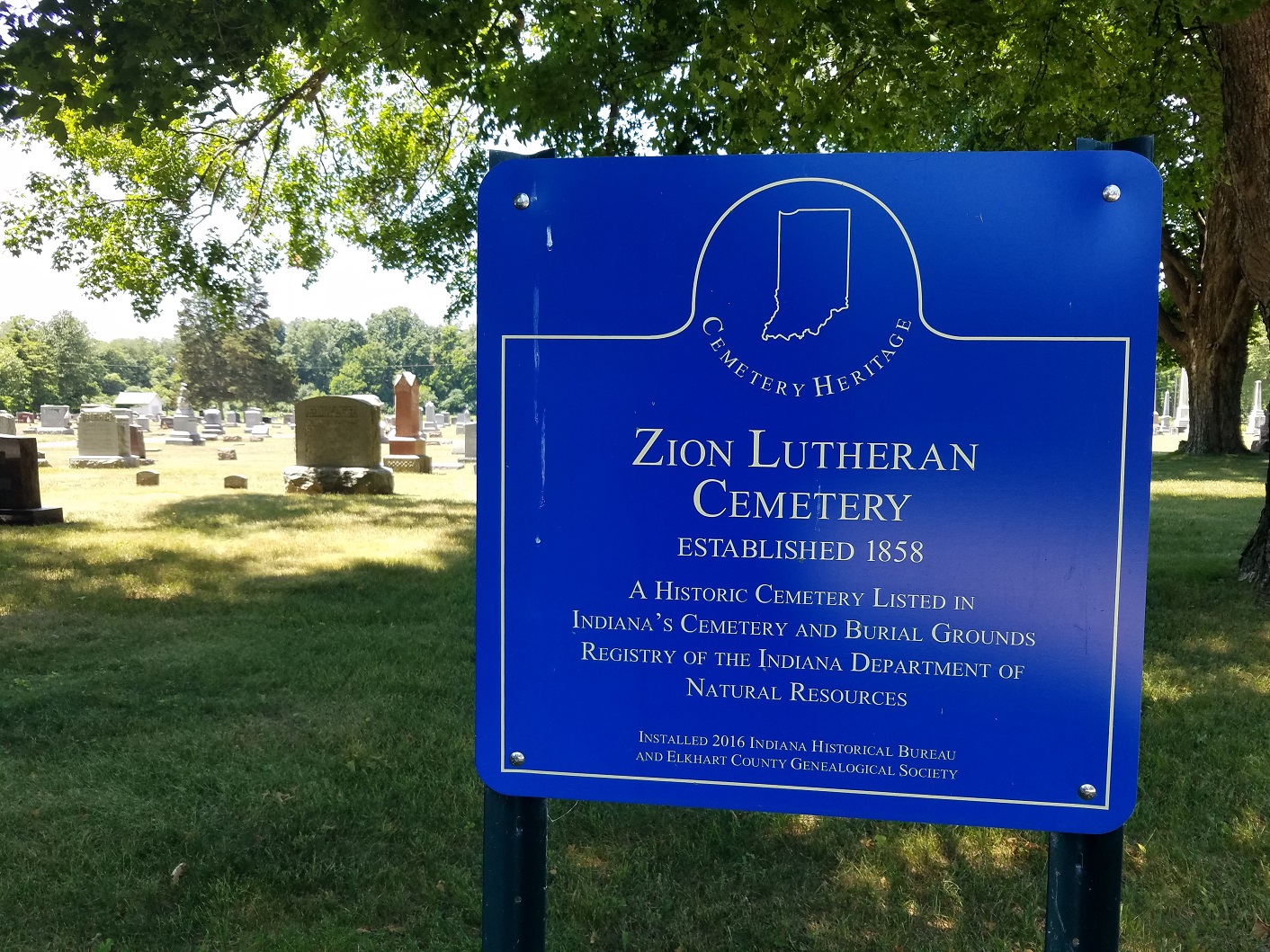
Tennessee is a small state but it has a lot to offer to visitors, like us. We began our visit there in late fall, 2021, at the north edge of the state: Nashville.
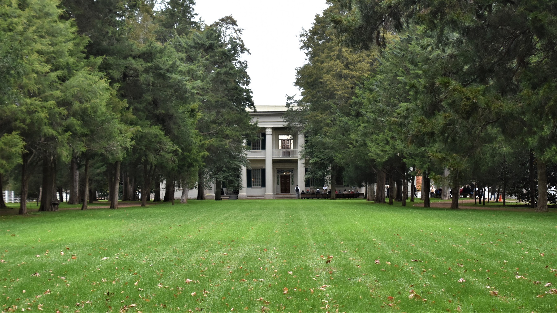
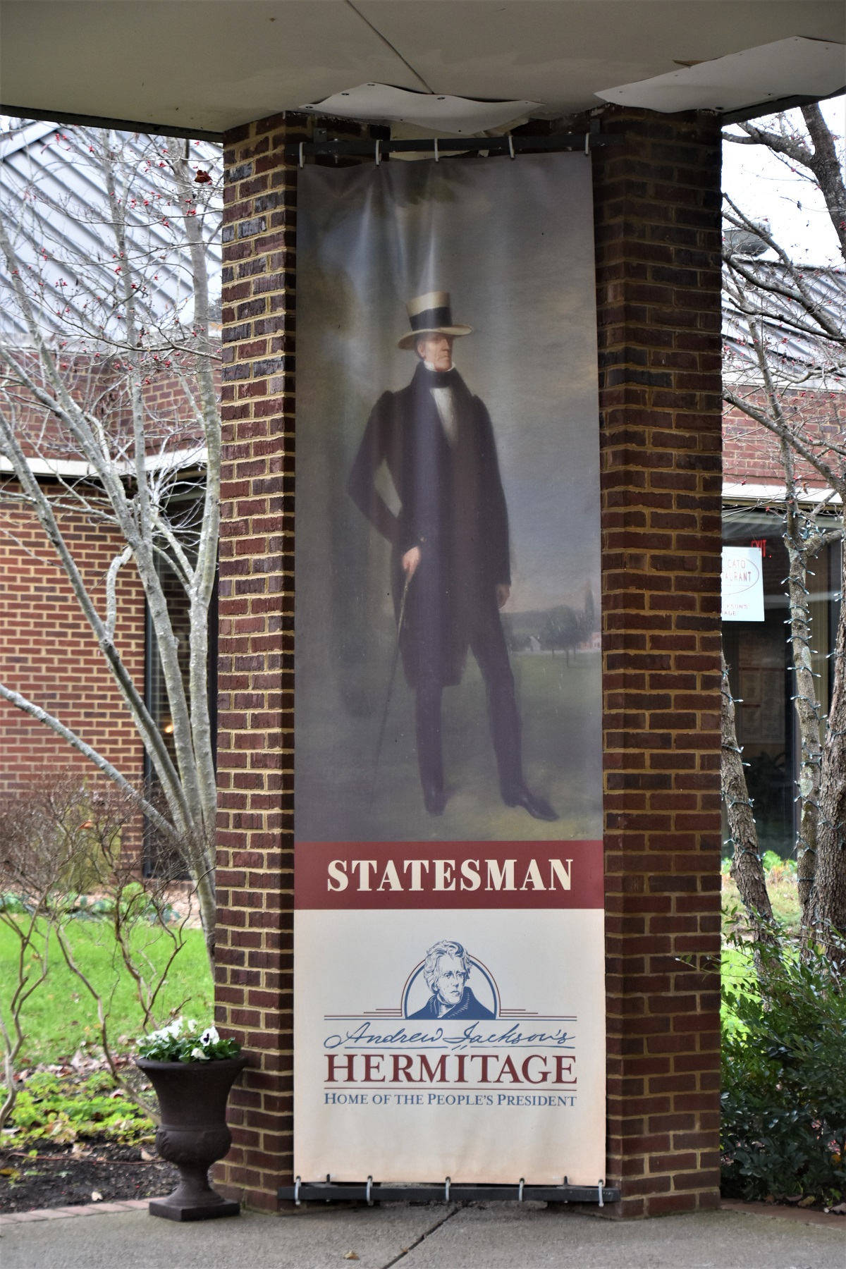
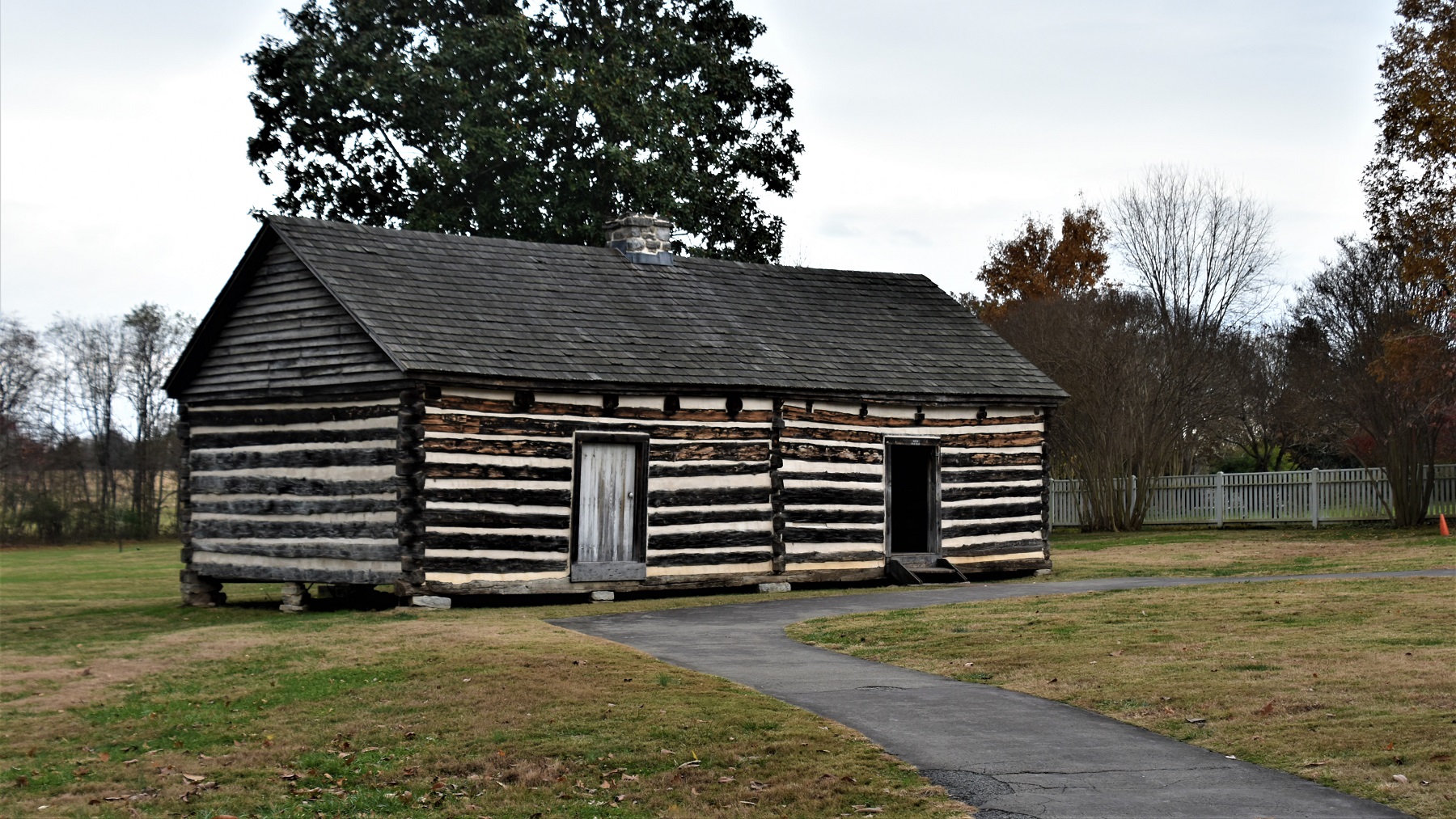
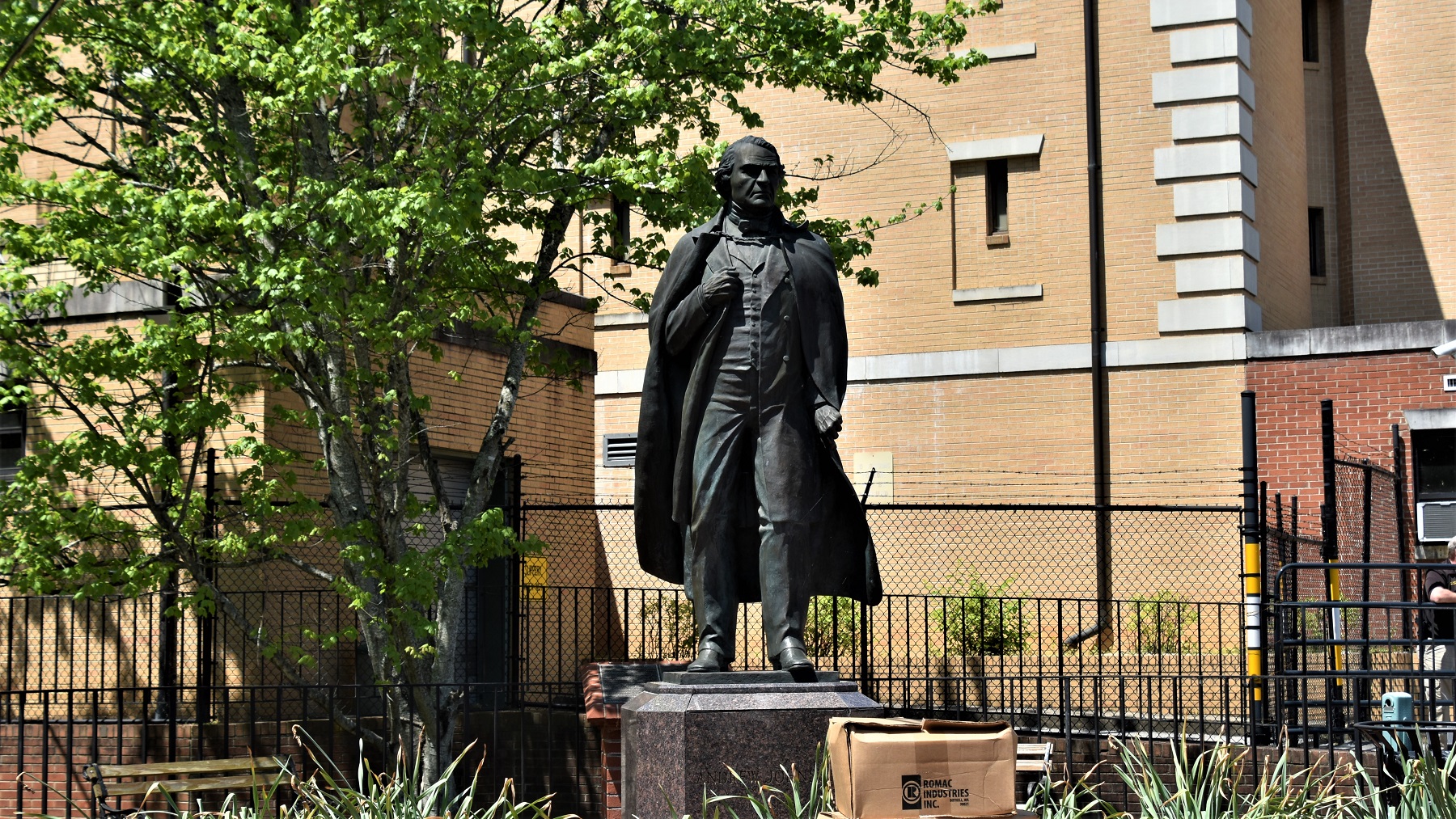
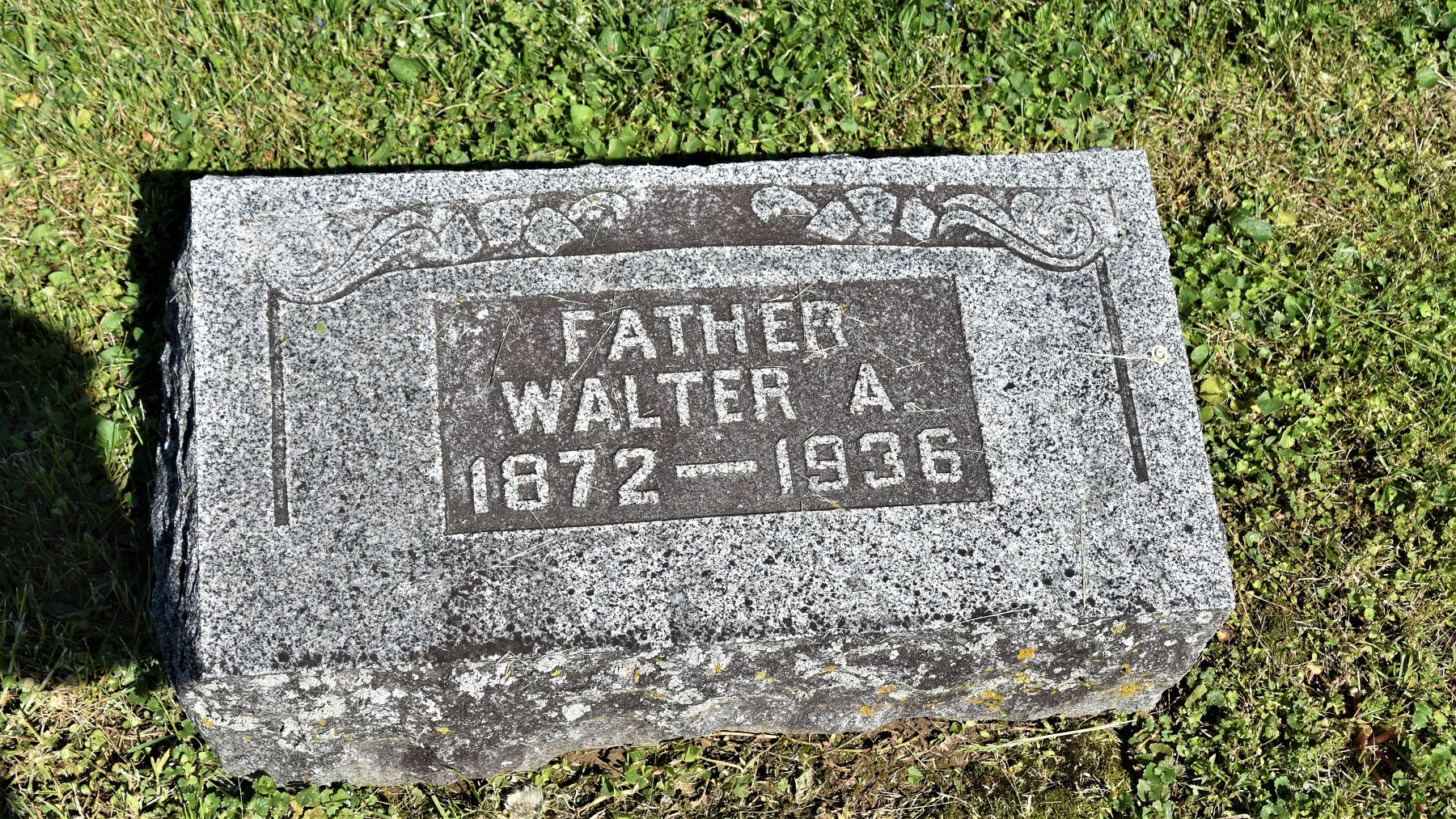
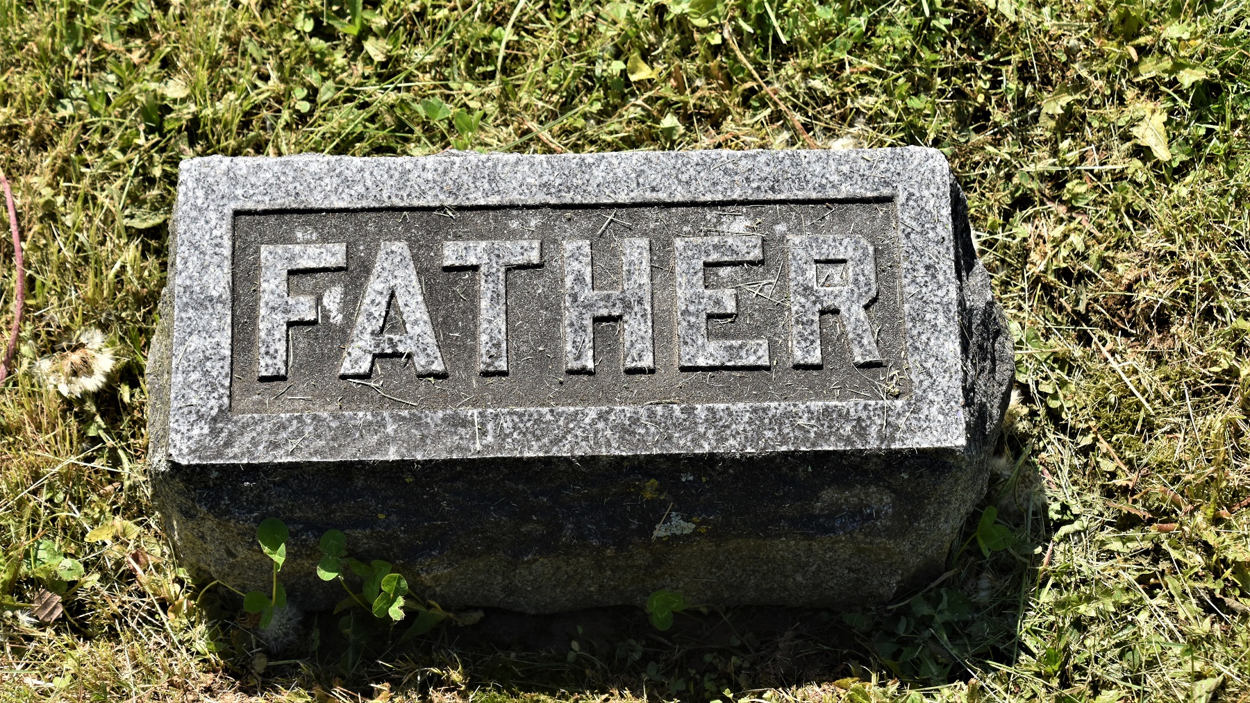
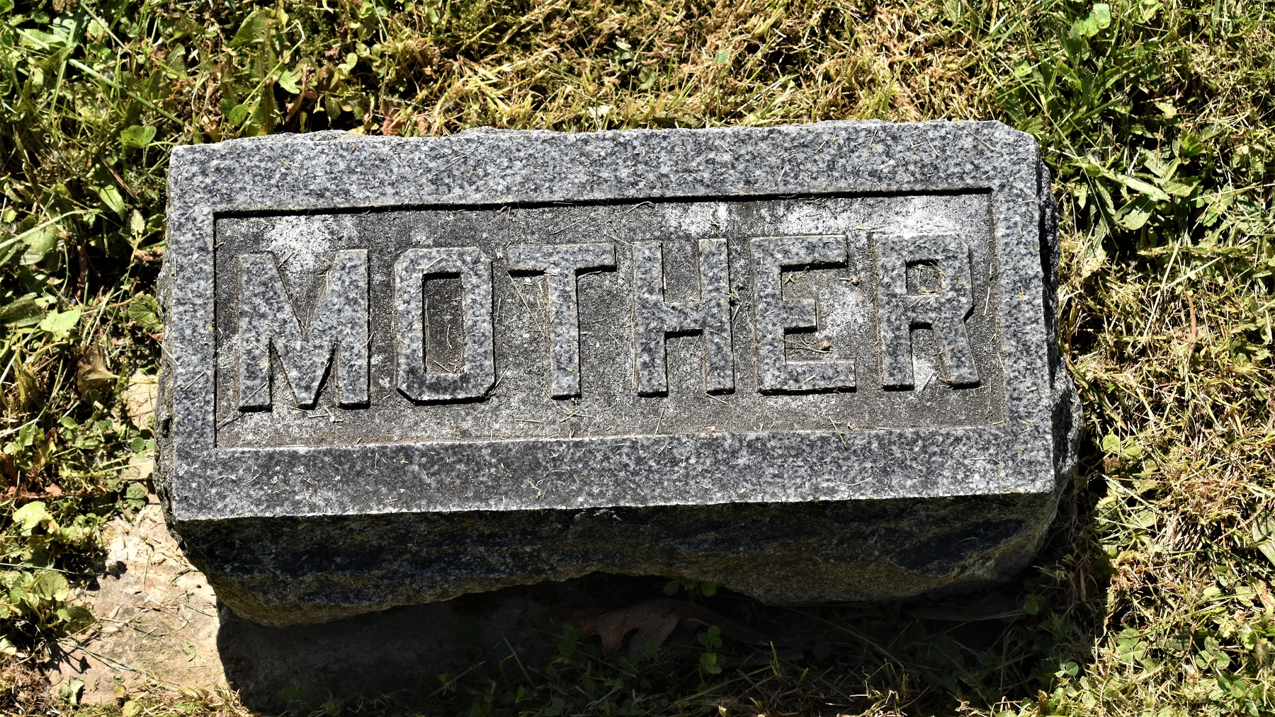
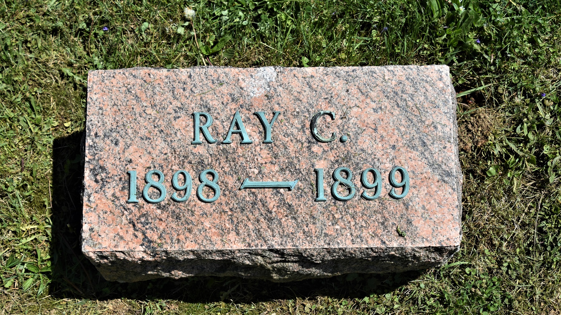
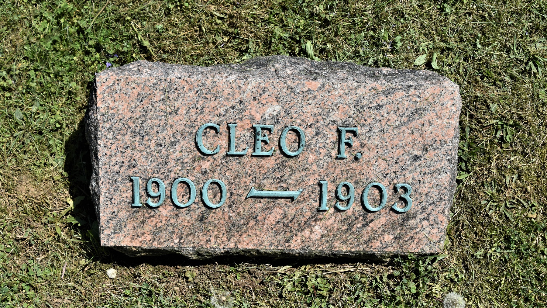
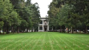
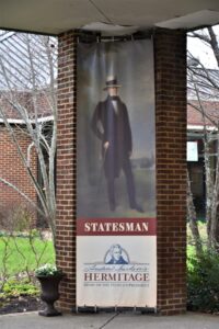
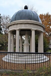
Andrew Jackson’s (7th President, 1829- 1837) home, The Hermitage, was our first major stop. His mansion and some of the original buildings, including slave quarters, are open for tours. A small cemetery contains his grave as well as his wife’s and other family members.

Next stop: the State Capitol building, built high on a hill above Nashville.


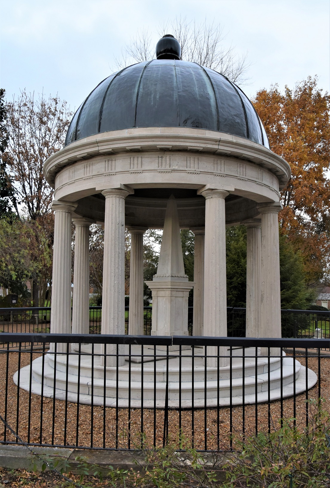
The grounds are also the final resting place of our 11th President, James Polk (1845 – 1849) and his wife Sarah.
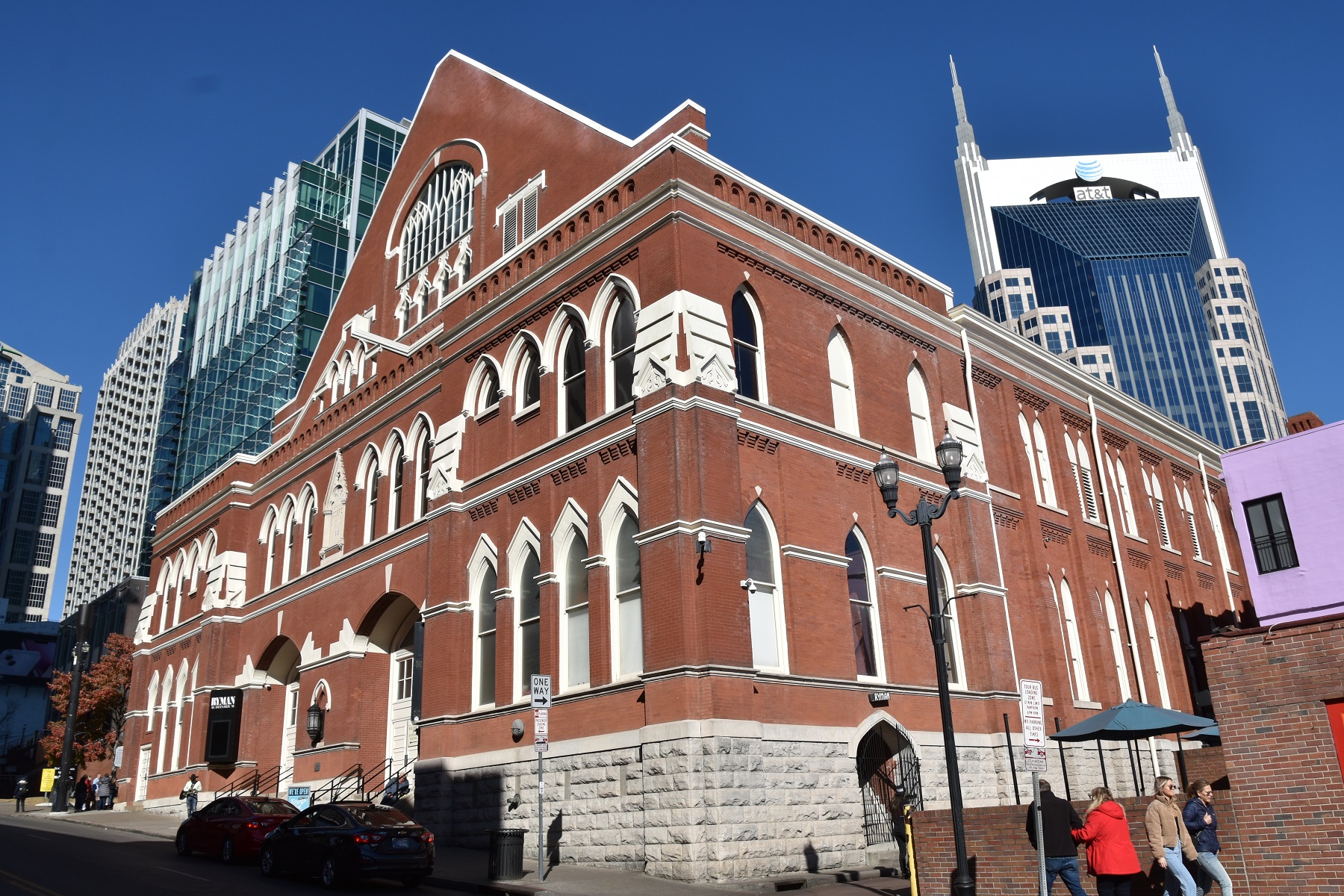
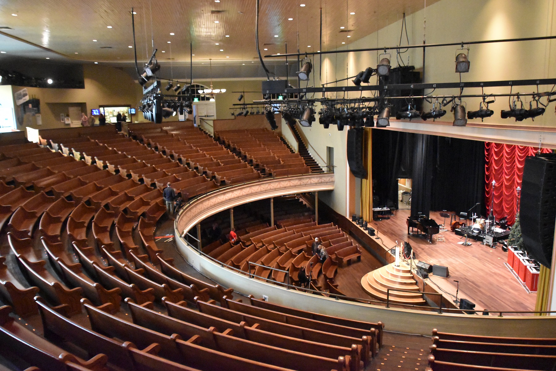
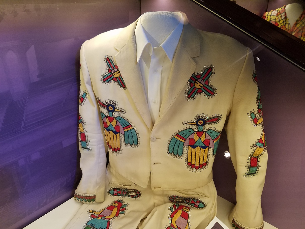
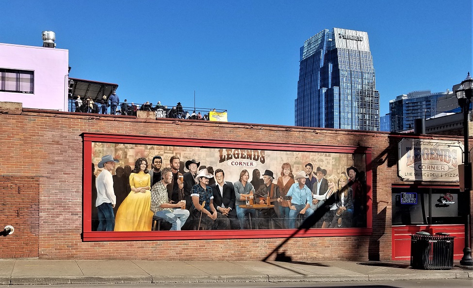
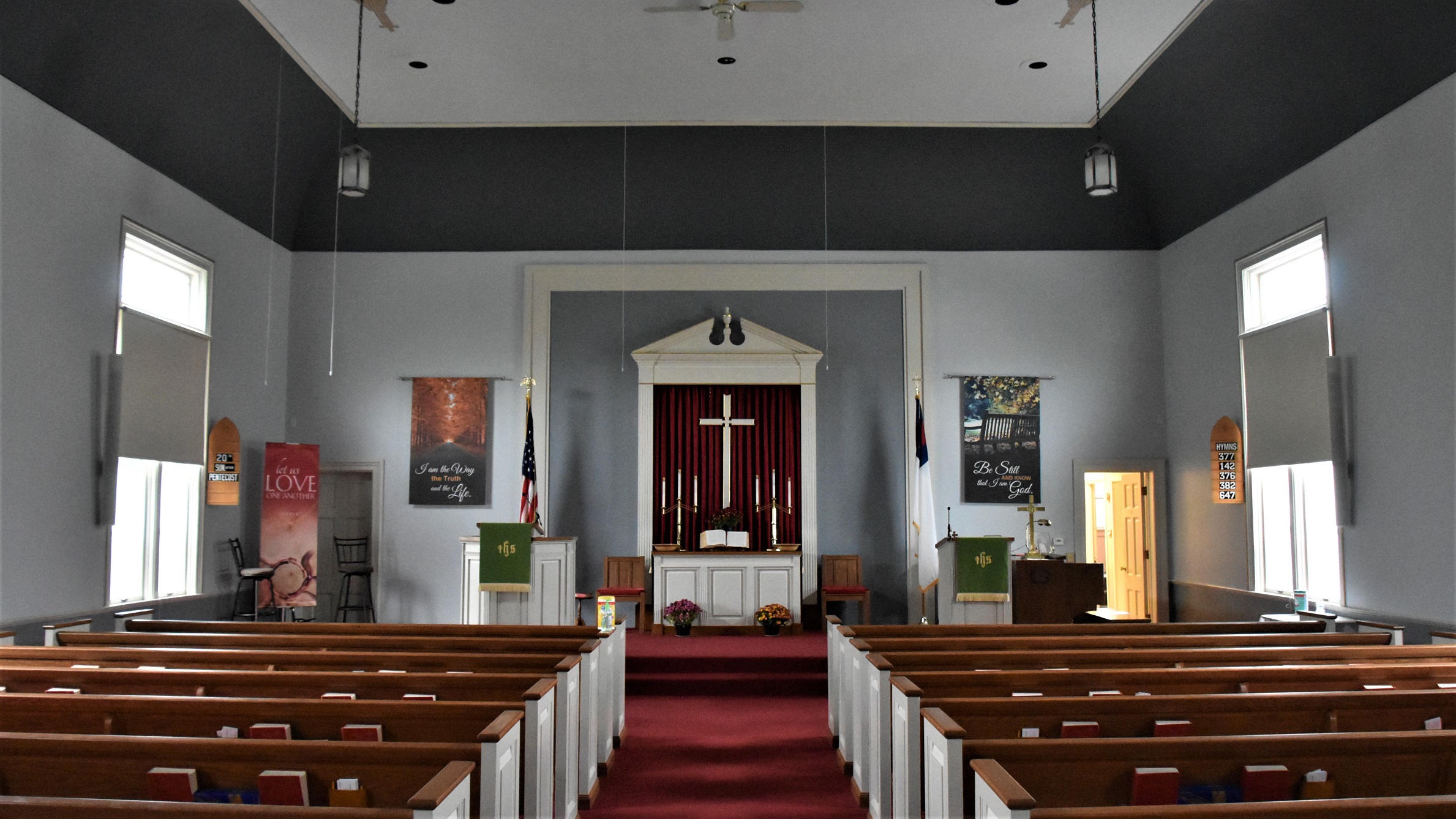
And, of course, we had to visit The Ryman (a former church converted into the first Grand Ole Opry), and the area of Nashville that you picture when you hear the word, ‘Nashville’.


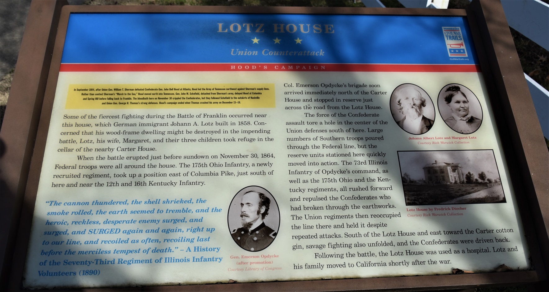
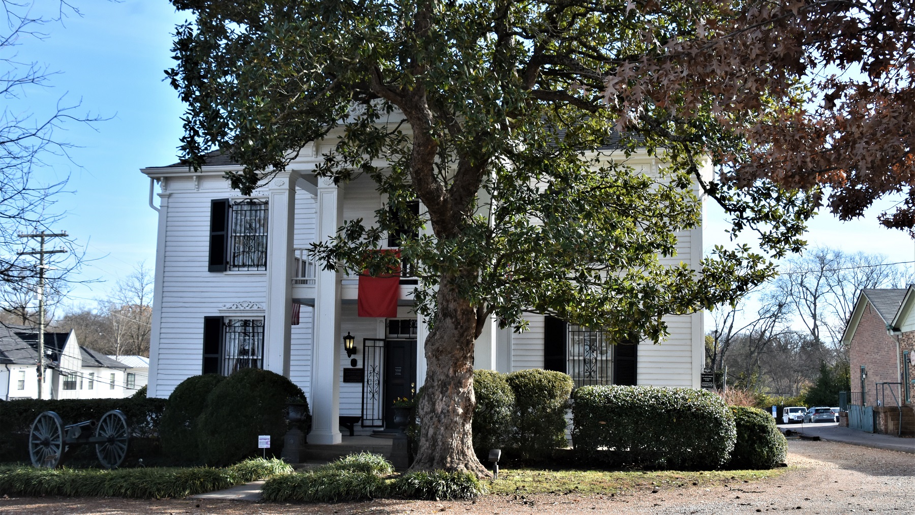
There were several bloody Civil War battles fought south of Nashville, and we visited the ones around Franklin. The Franklin battle was horrific because it started late in the afternoon, around local farms, and proceeded into the night. Once darkness fell, soldiers fought hand to hand combat with any kind of weapon that they could lay their hands on, including farm tools.

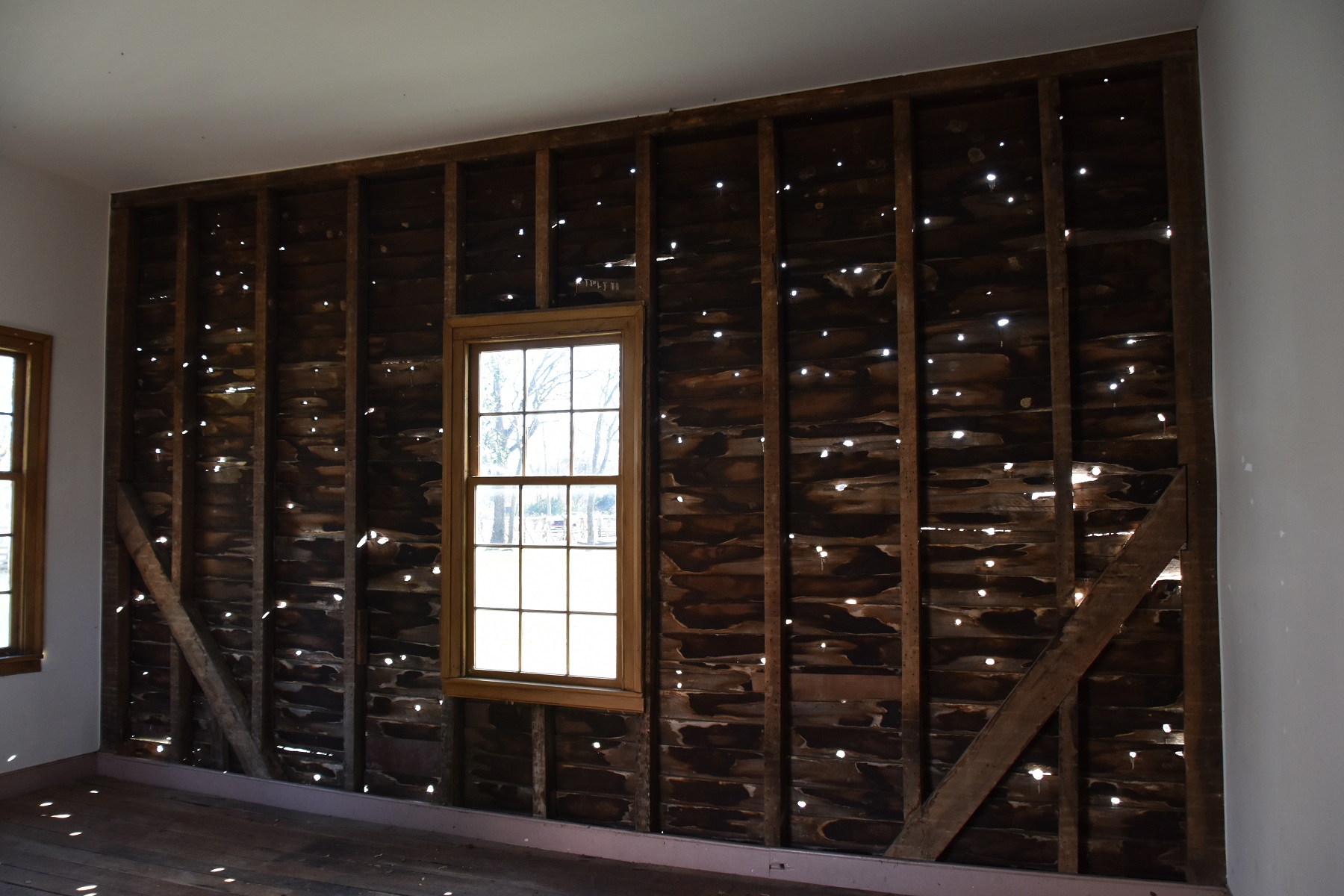
Several of the surrounding homes became makeshift hospitals for the wounded and the stains where their blood soaked into the wooden floors are still visible. One outbuilding’s wall was left intact as a reminder of the intensity of the fighting.
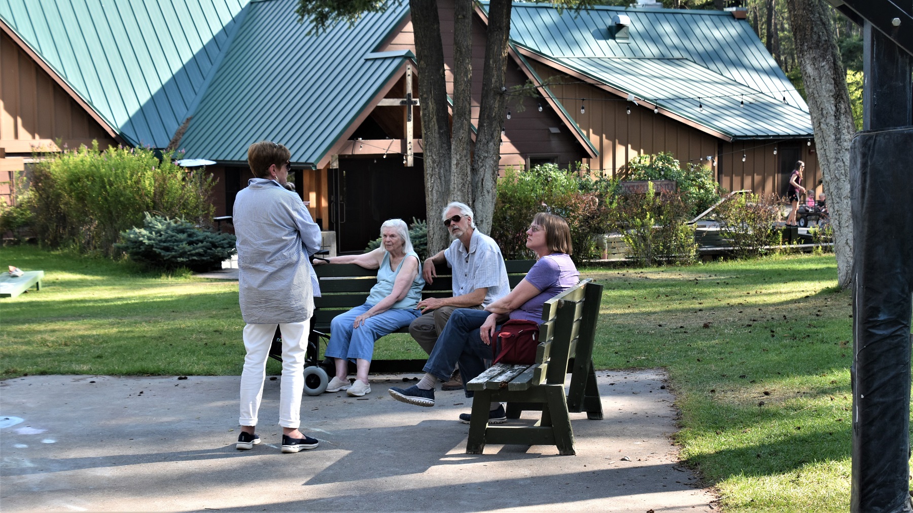
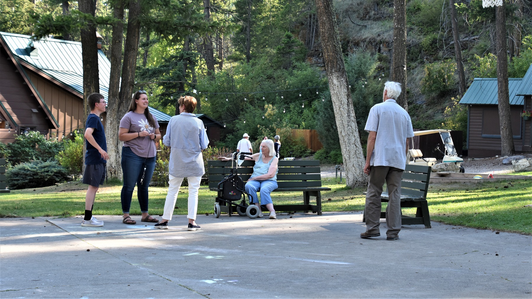
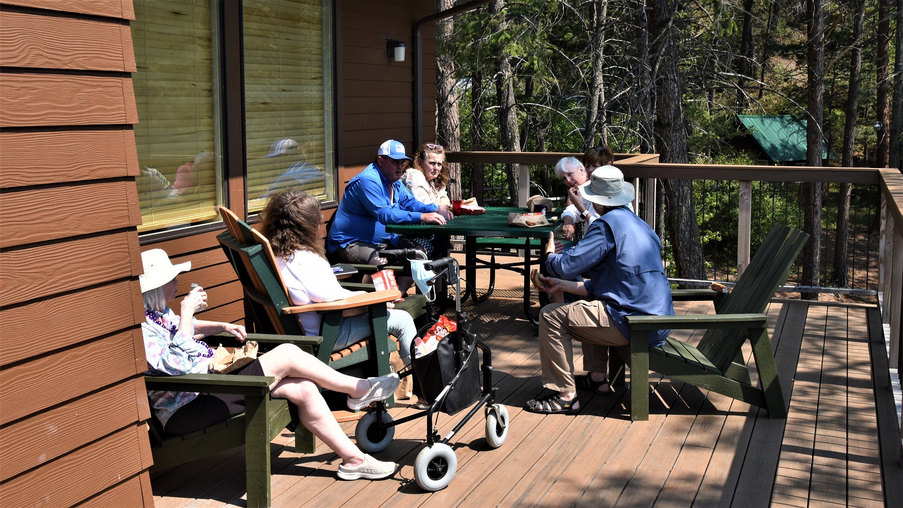
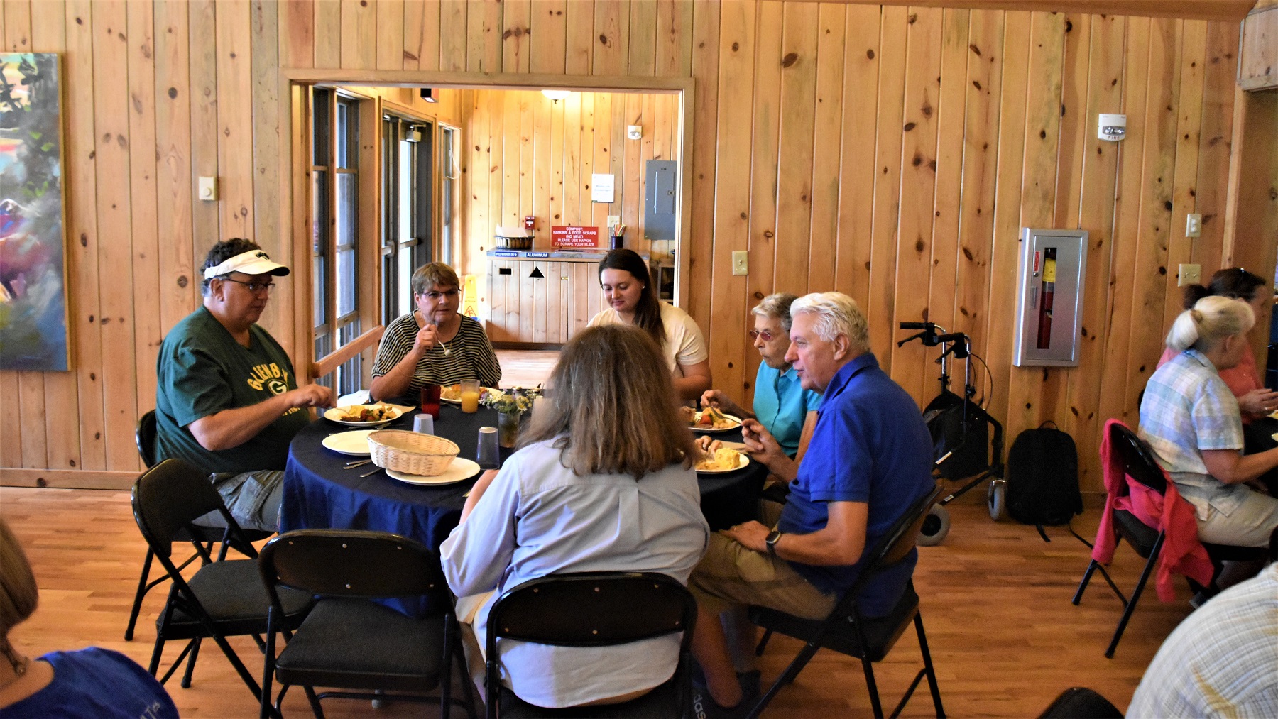
Franklin is also the home of long-time friends who invited us to Thanksgiving dinner for a wonderful day of visiting and eating good food.
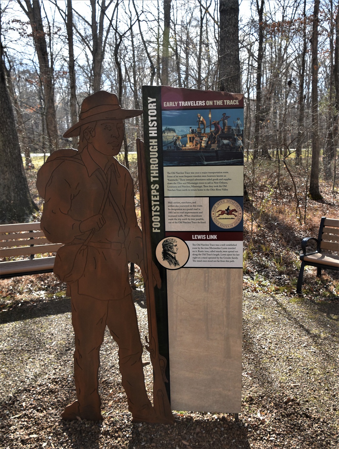
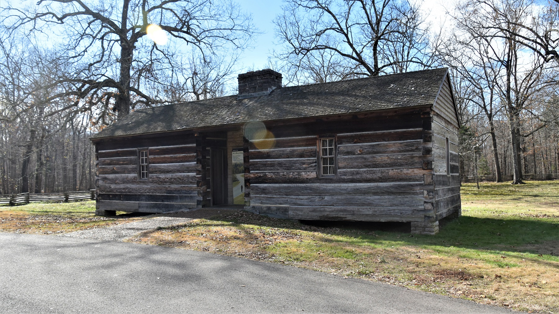
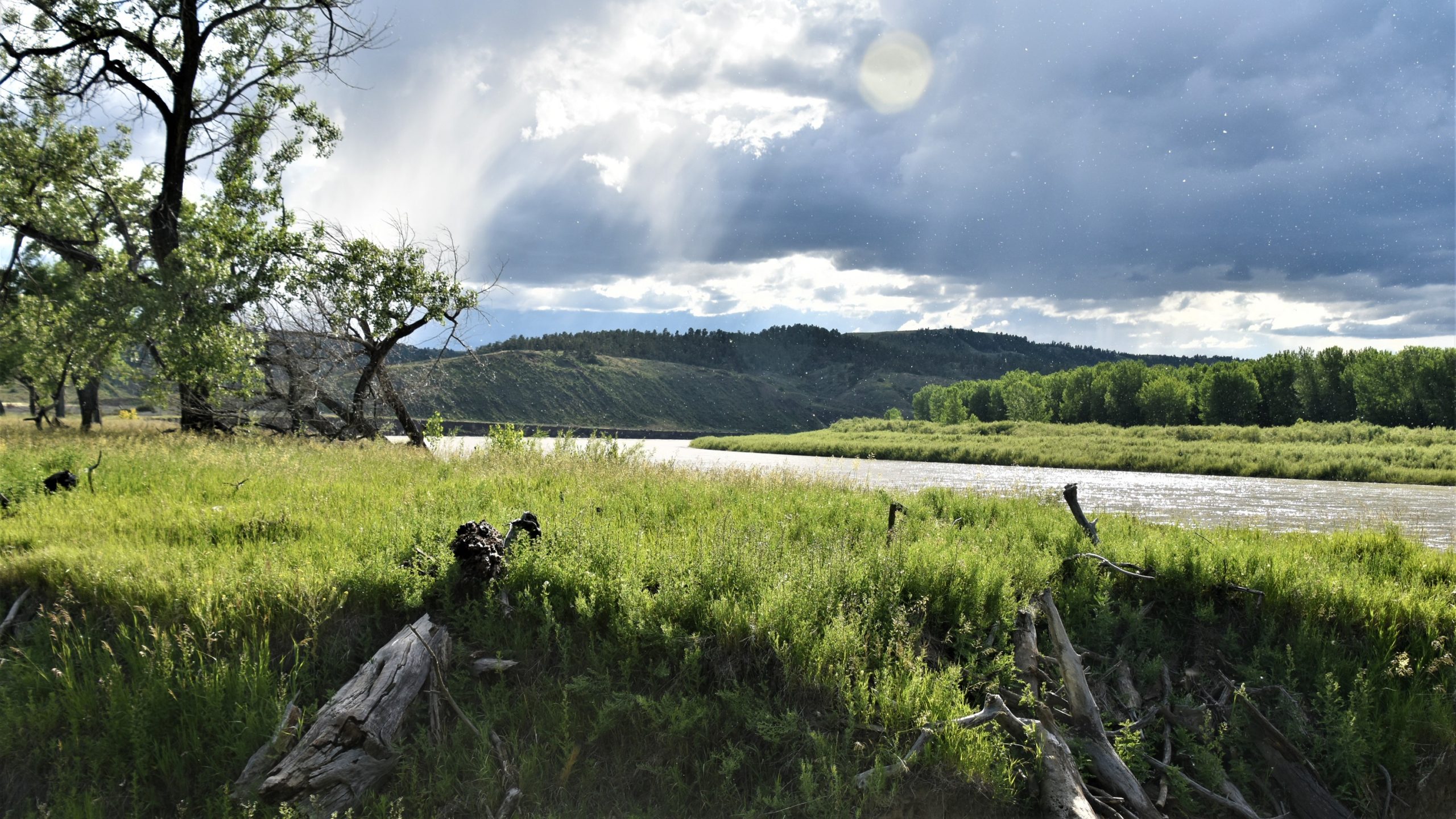
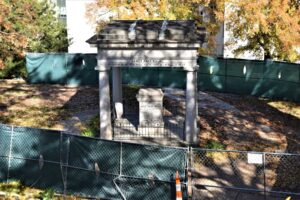
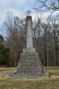
Heading southwest, we stopped at the Meriwether Lewis National Park along the former Natchez Trace (or trail). Parts of the Trace are preserved so that modern day visitors can experience the way that people traveled before today’s improved roads.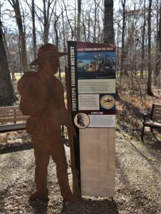 This is the site where Meriwether Lewis died in 1809 and there is a monument built over his grave site, as well as headstones for the grave sites of other local people.
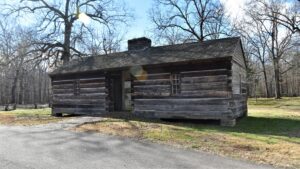
A replica of Grinder’s Inn, the inn where Lewis spent his last night, has been built next to the original site, where the outline of the fireplace is still visible.
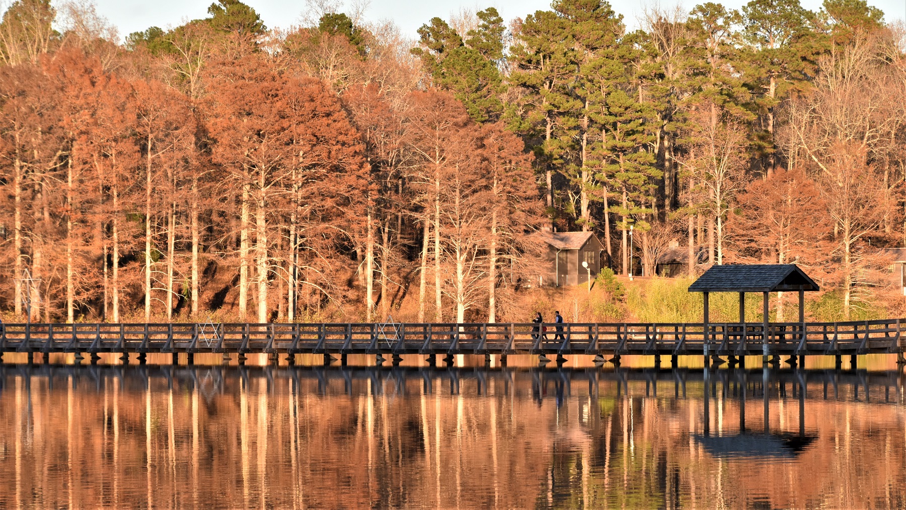
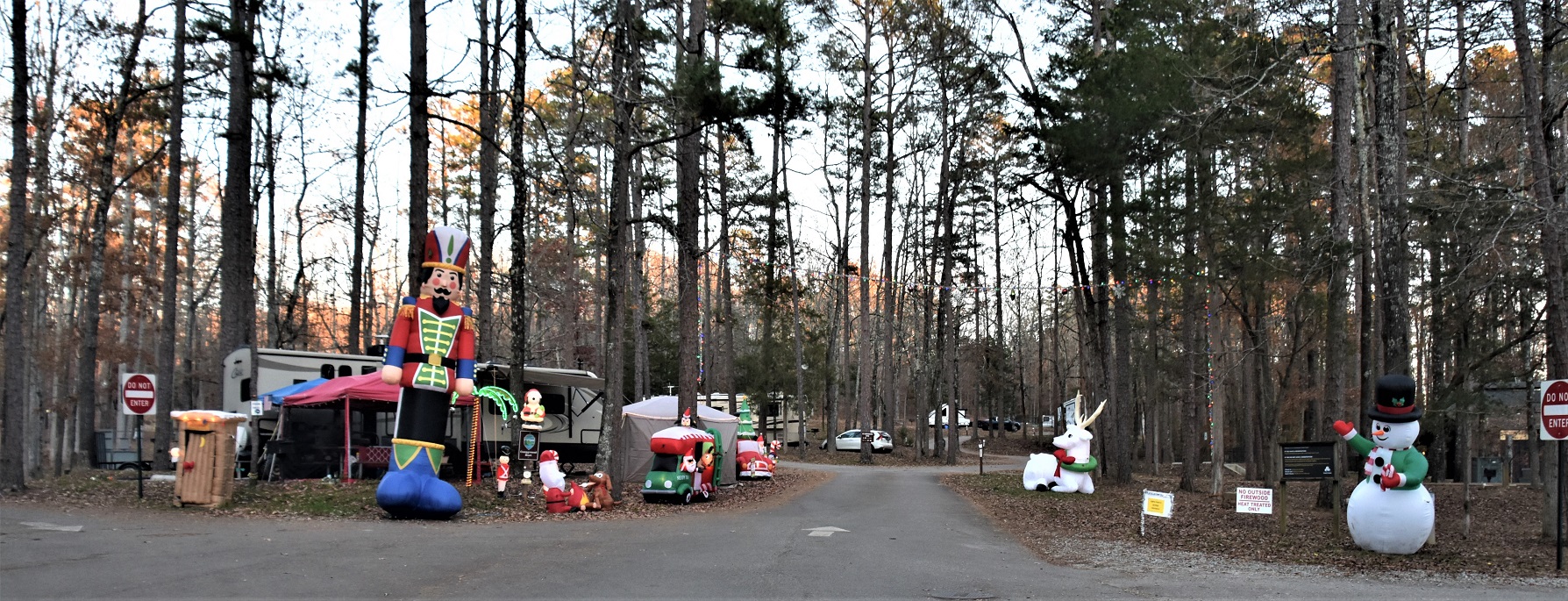
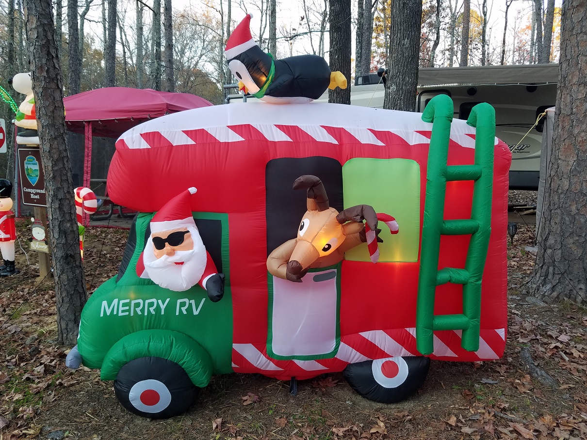
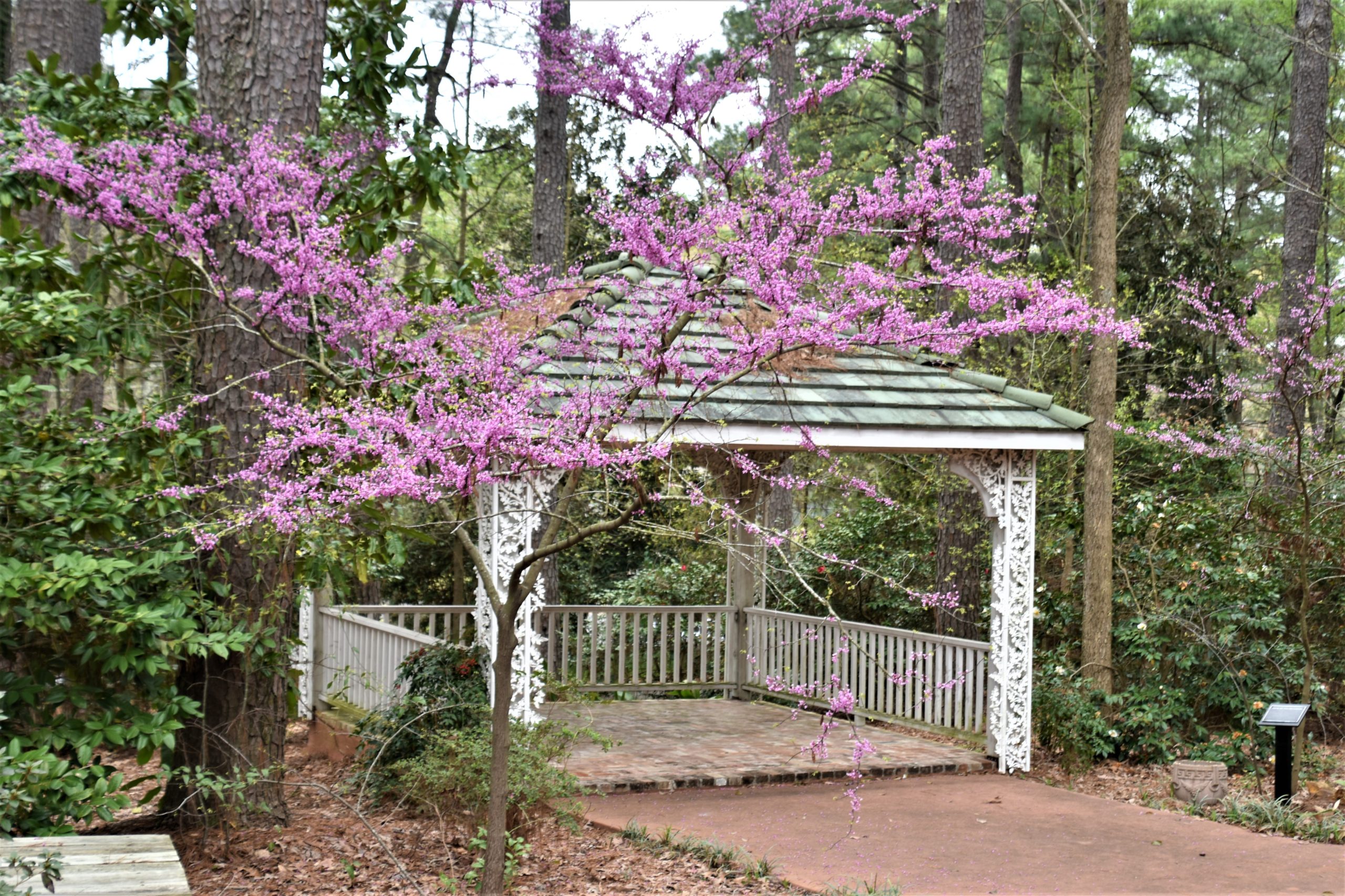
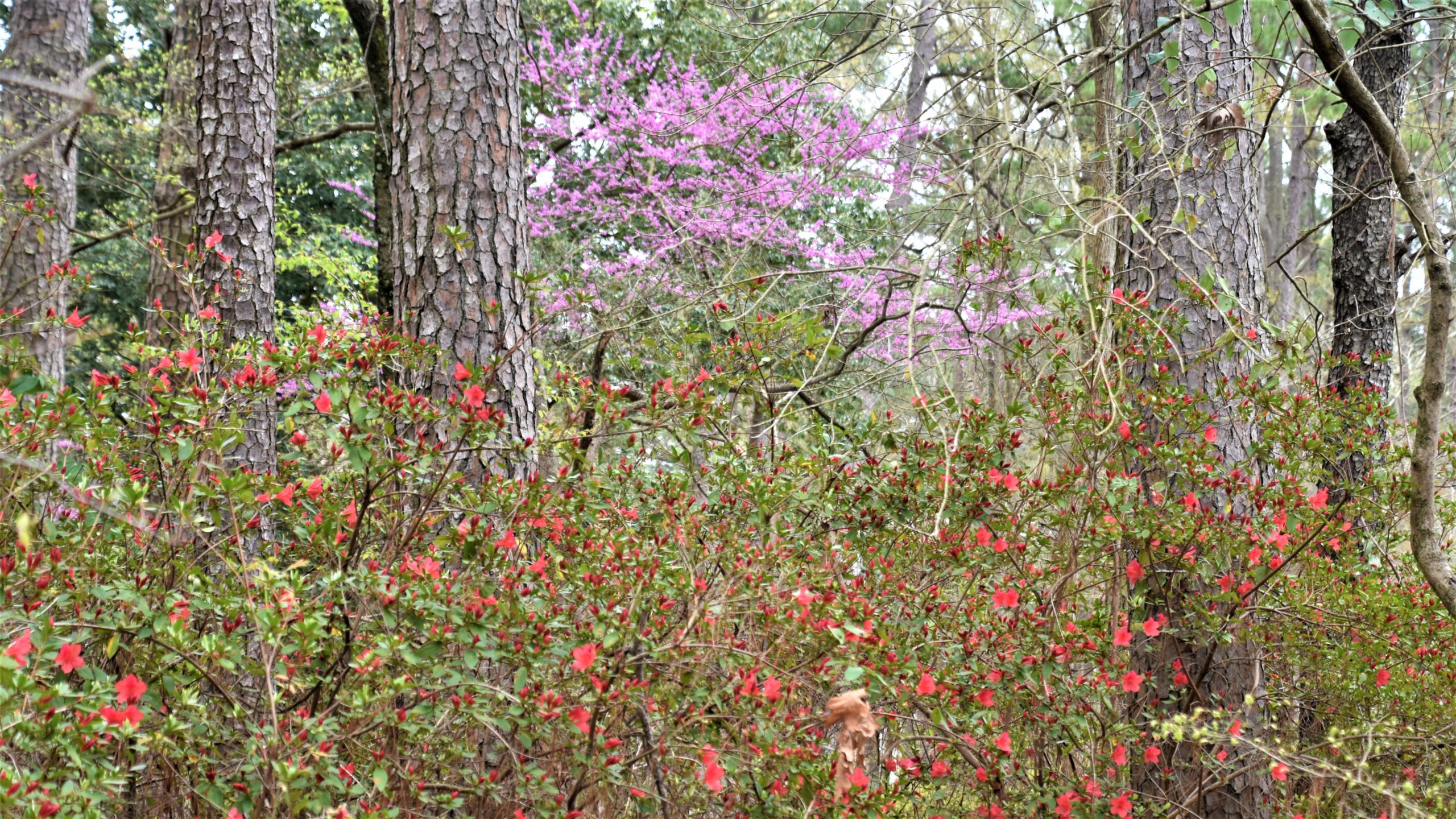
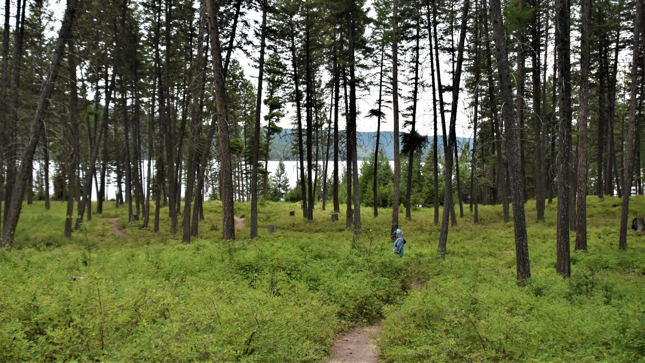
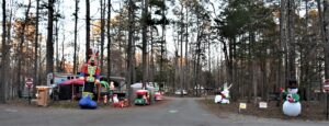
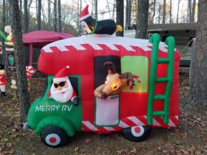
Our next stop was Chickasaw State Park, where the fall colors and Christmas decorations put on a showy display for us.
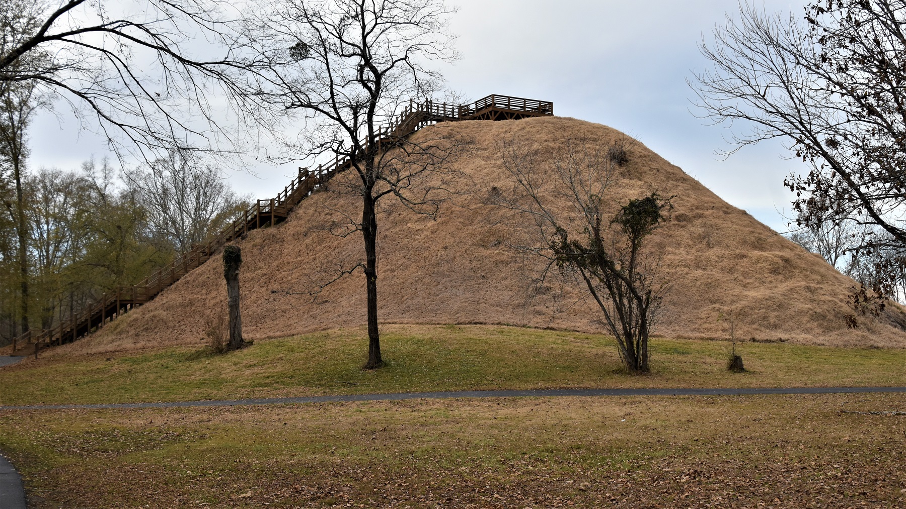
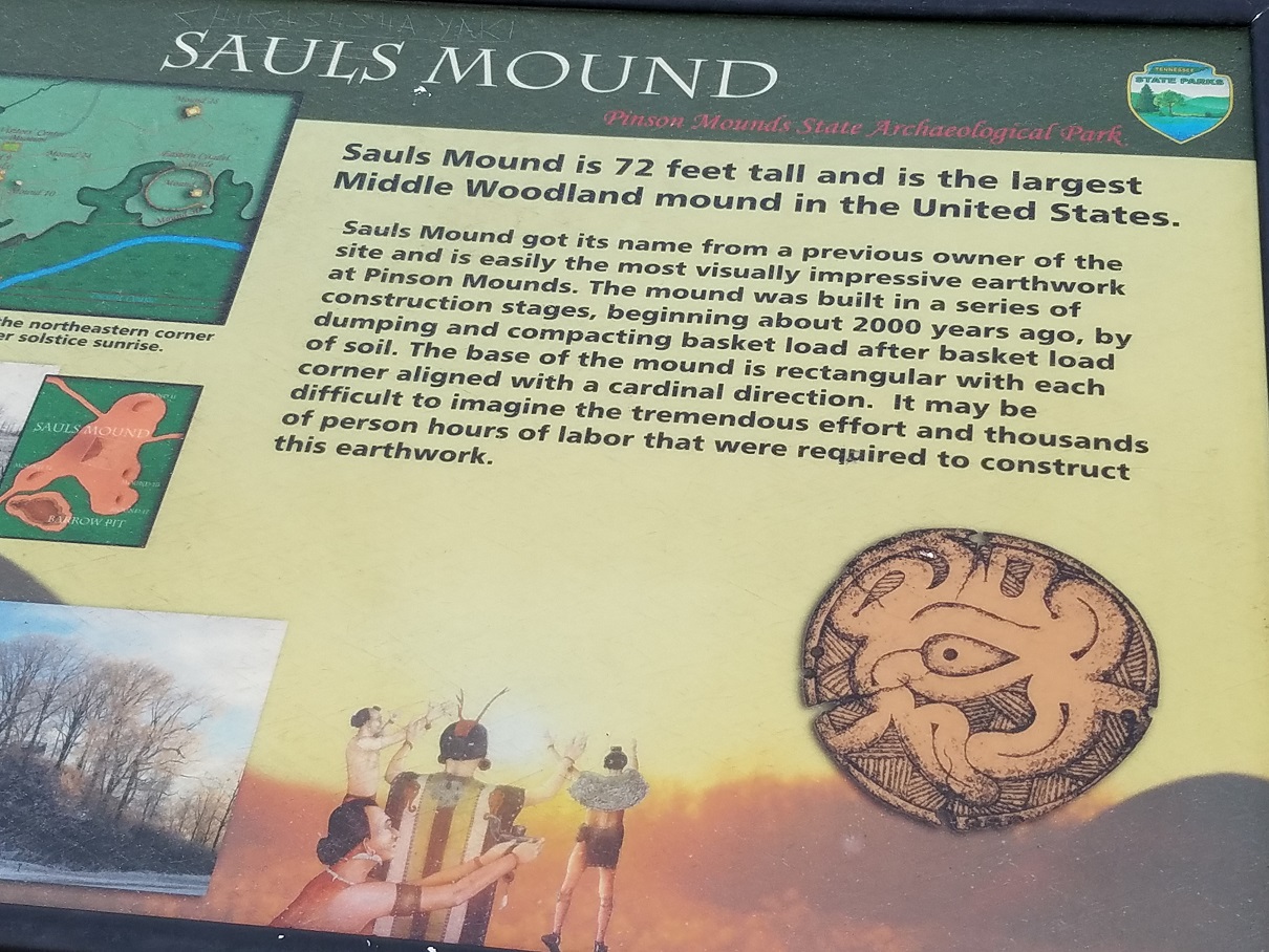
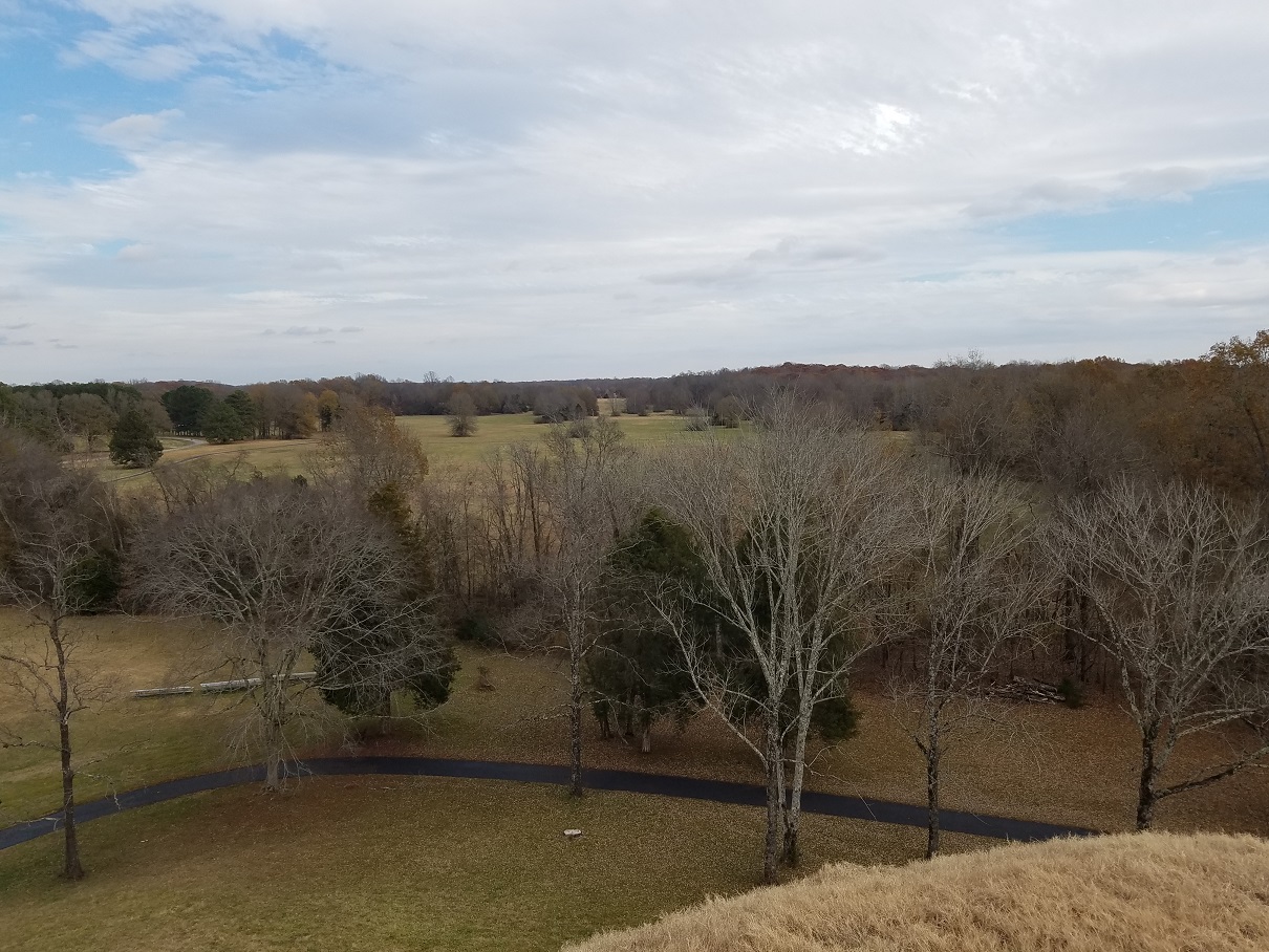
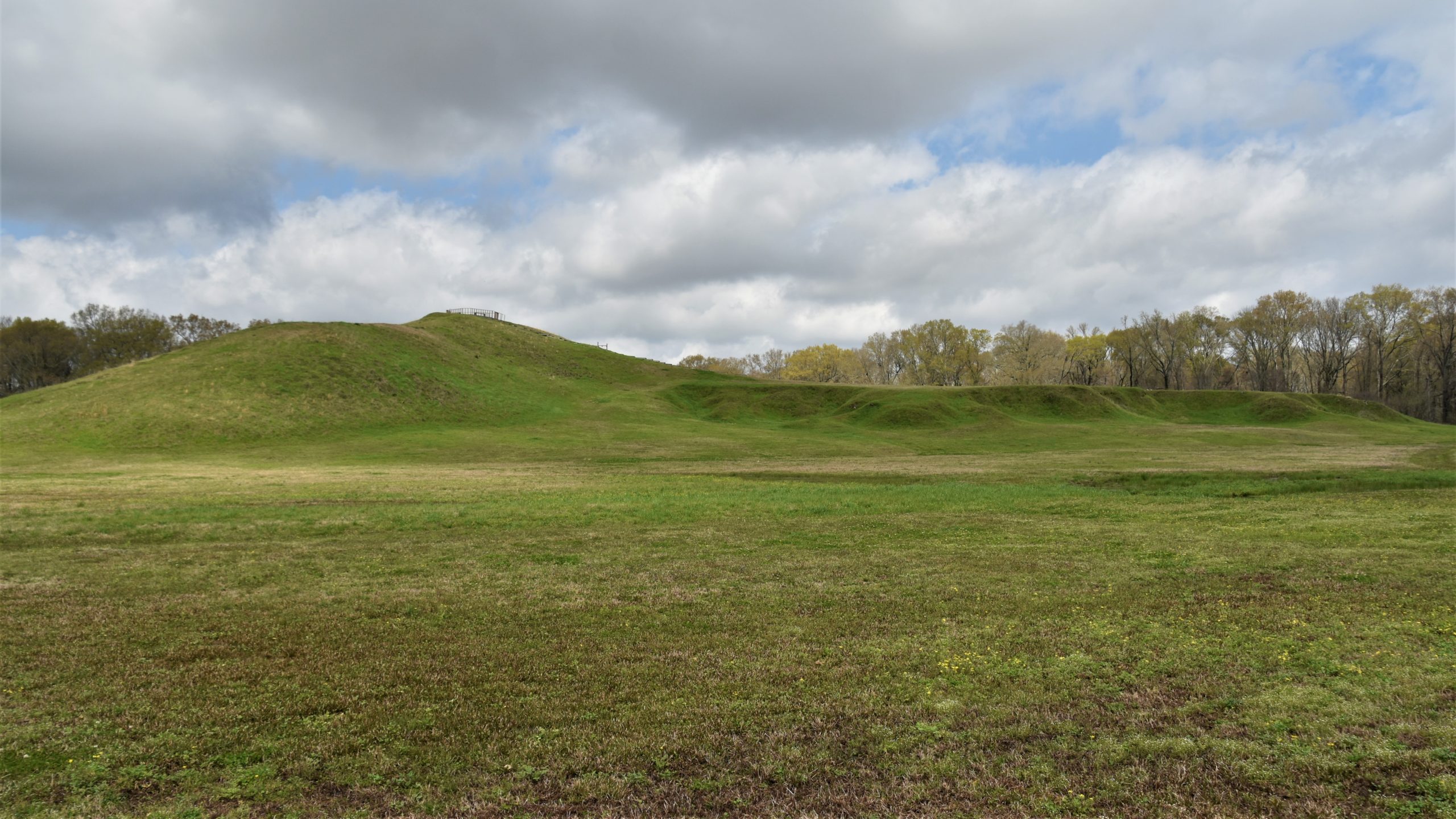
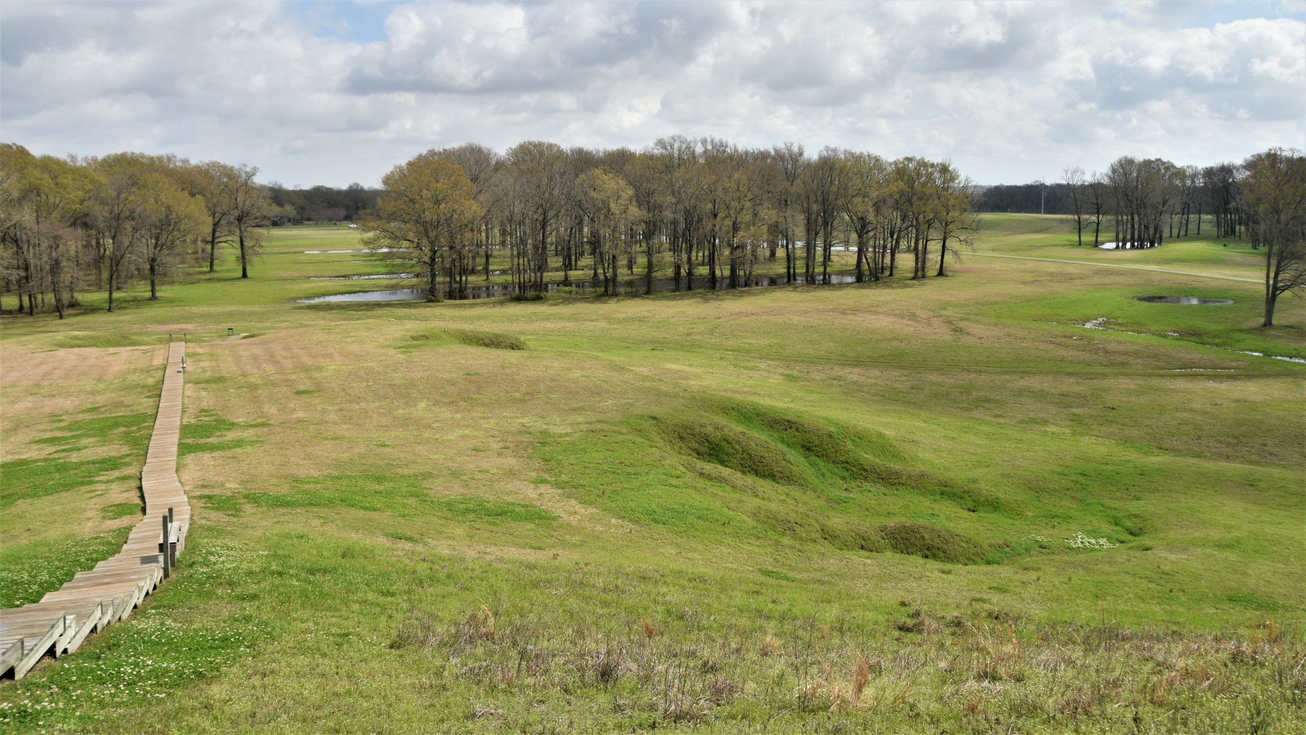
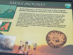
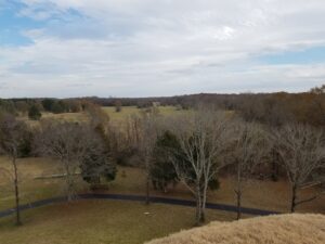
Indian mounds can be found in quite a few places in the central part of the country, and we have visited several of the mound sites. Pinson Mounds State Archaeological Park contains the largest mound in the U. S., Saul’s Mound, which we climbed to the top of for a great view of the park.

We then walked the various trails to other mounds and sites and even became briefly lost in the back area of the park when the trail we were on disappeared in the trees.
Our next stop was the southwest corner of the state – Memphis, where we decided against spending $300 to see Elvis’ Christmas decorations in Graceland.
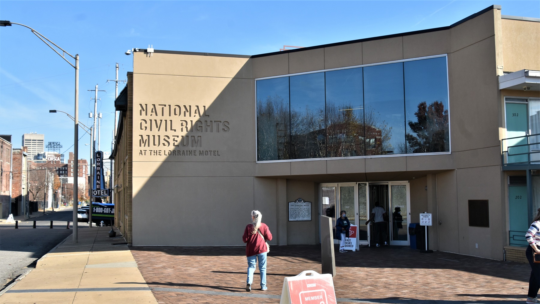
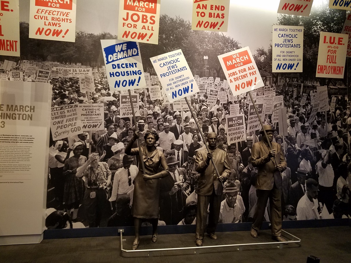
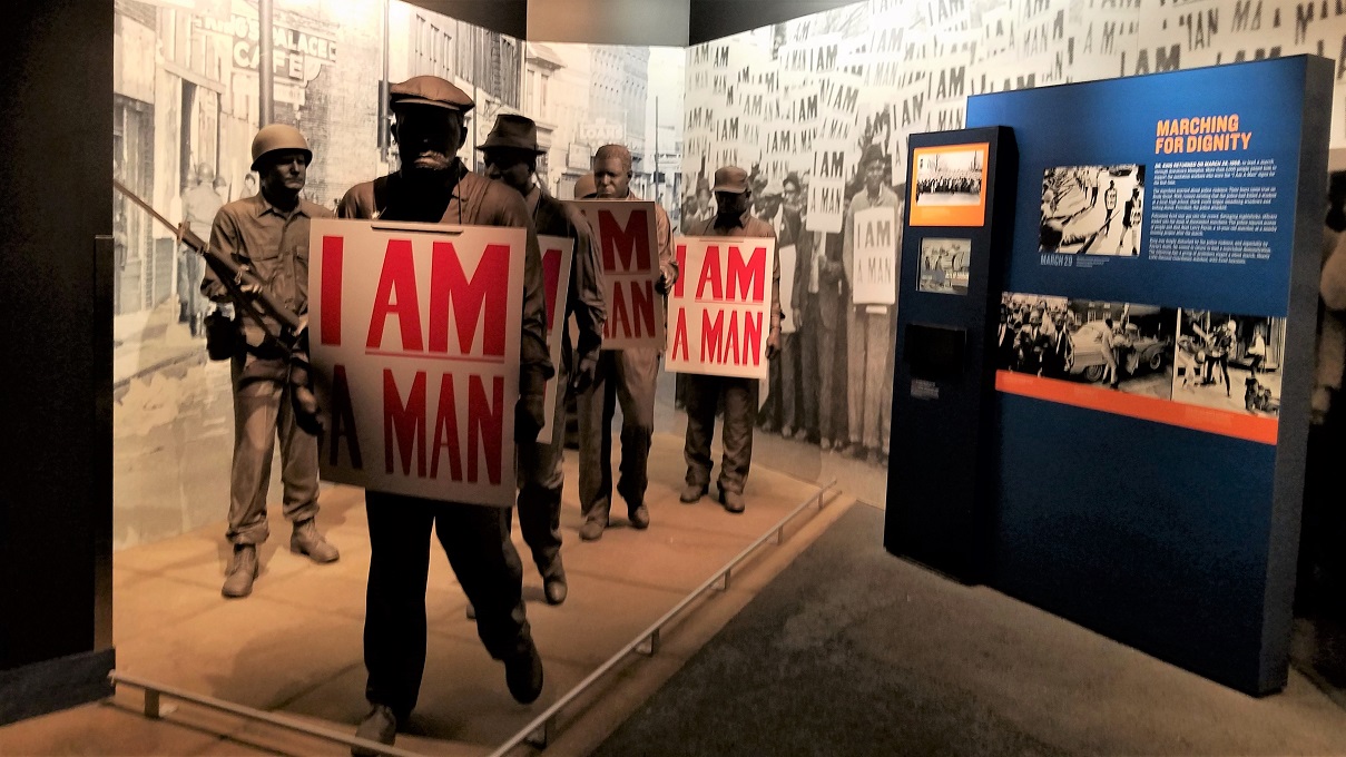
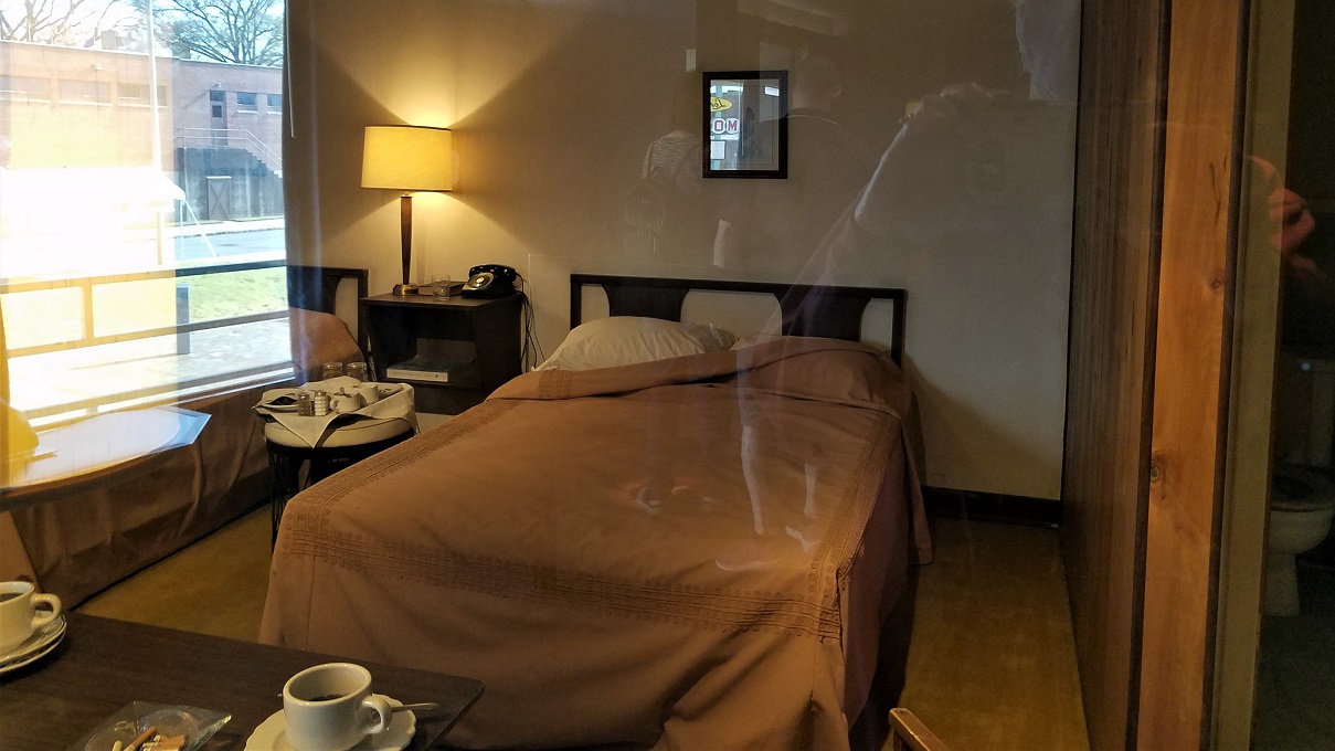
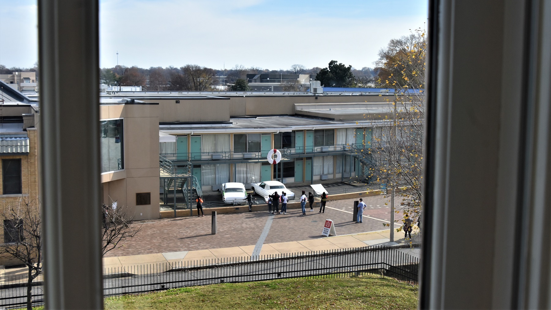
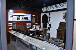
We did visit the National Civil Rights Museum at the Lorraine Hotel, where Dr. Martin Luther King, Jr. was assassinated.

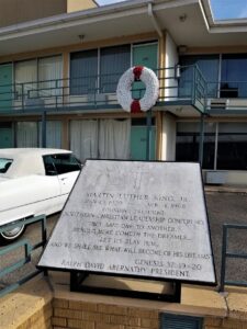
The museum is excellent and follows the growth of the Civil Rights movement.
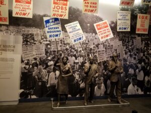

At the end of the museum’s path, after reading all about Martin Luther King and the struggles he endured, you walk into the area next to the room where King was staying and that was a powerful moment for us.
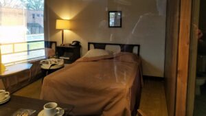
After that museum, you walk across the street to the building and room where James Earl Ray stood to shoot King.
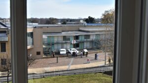 The entire complex is quite an emotional experience.
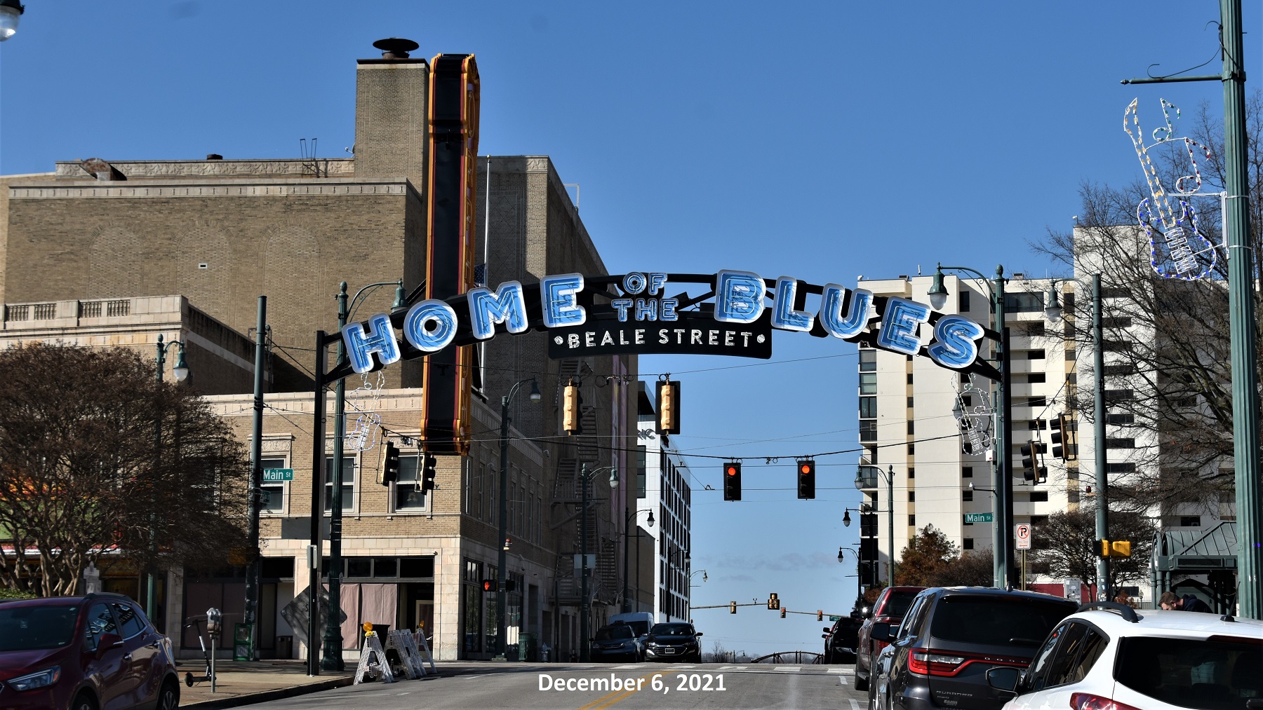
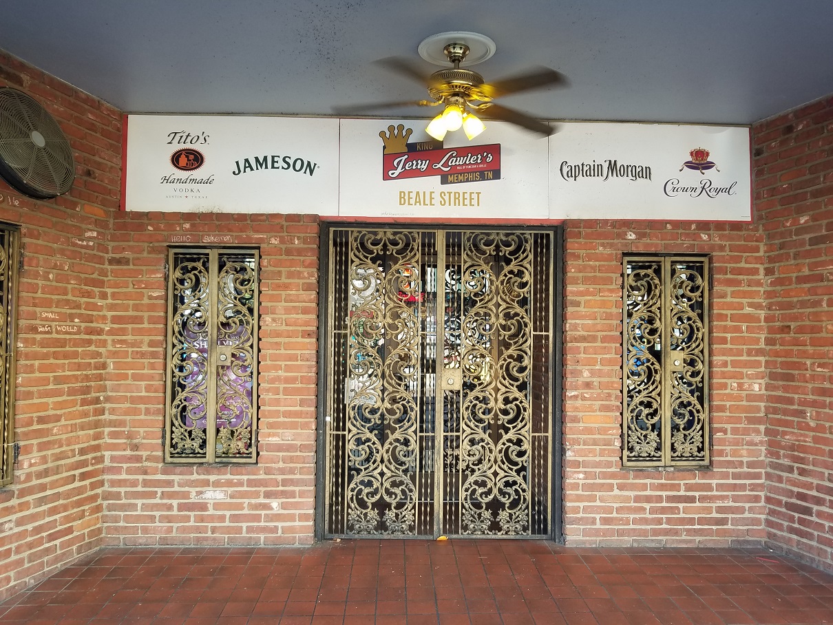
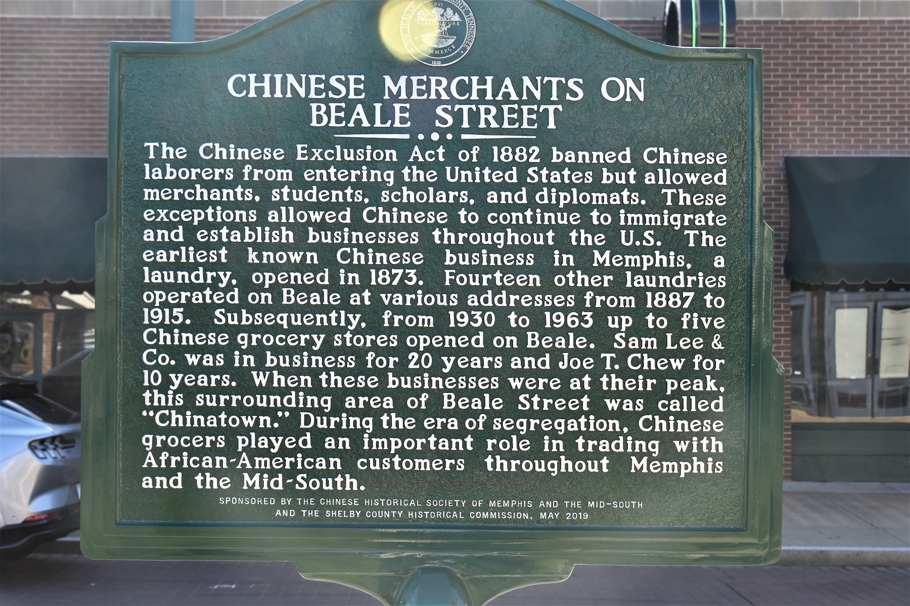
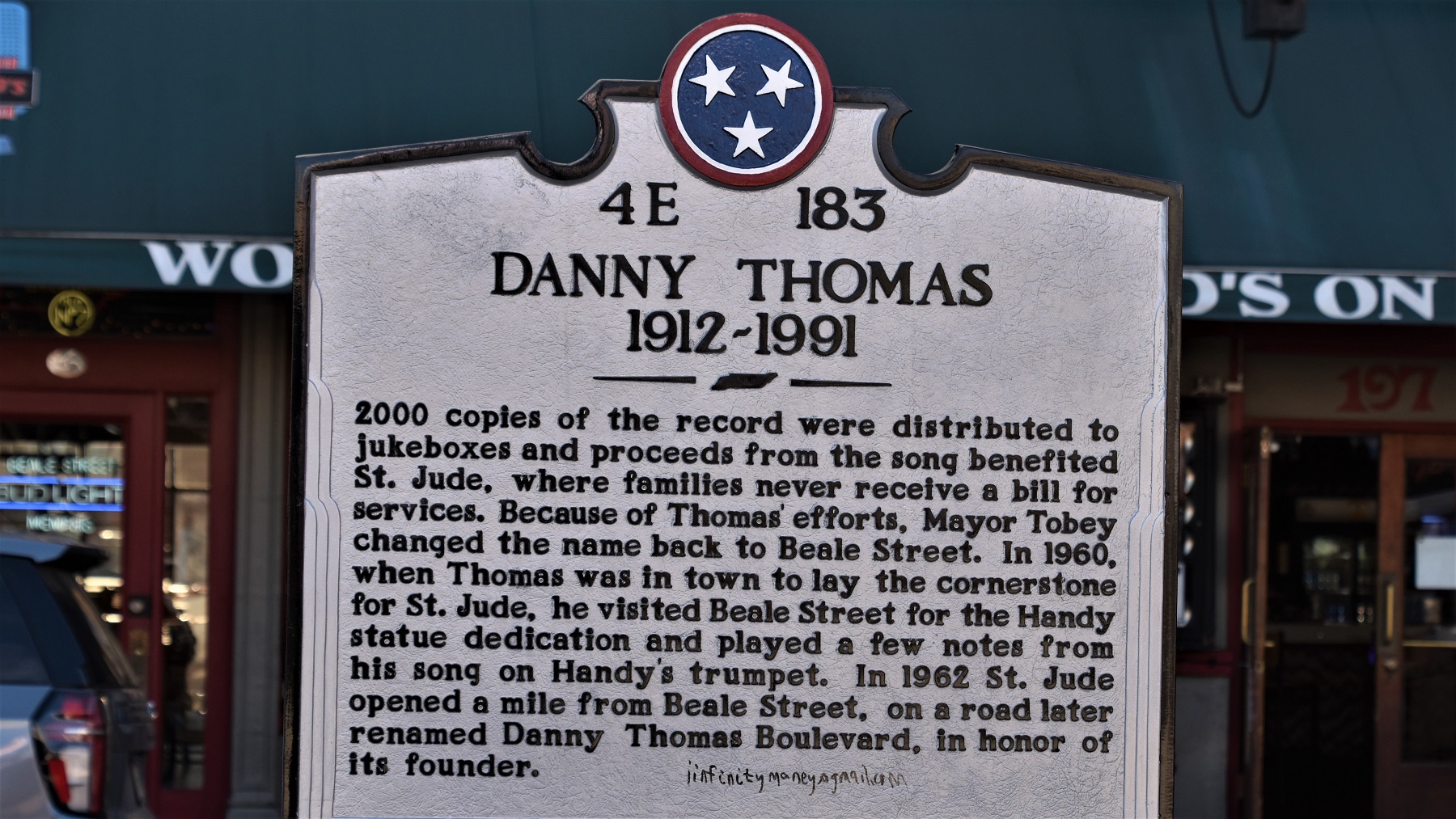
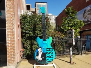
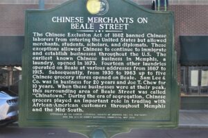
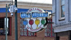
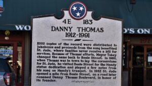
We then visited a more upbeat part of Memphis: Beale Street is colorful and historical and it was fun to explore its many stores, restaurants and bars.


After Memphis, we headed south for the winter and then returned to explore the east side of Tennessee in April.
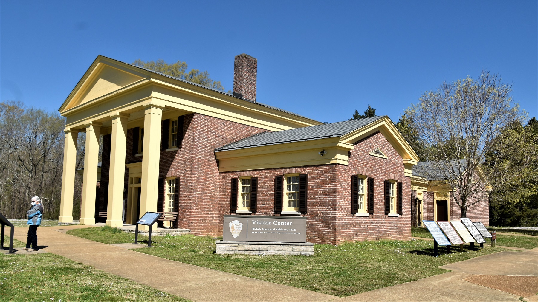
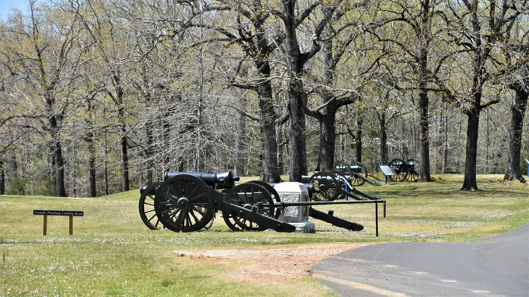
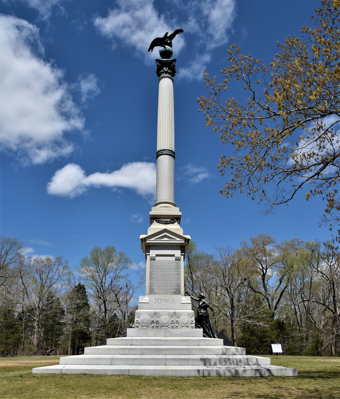
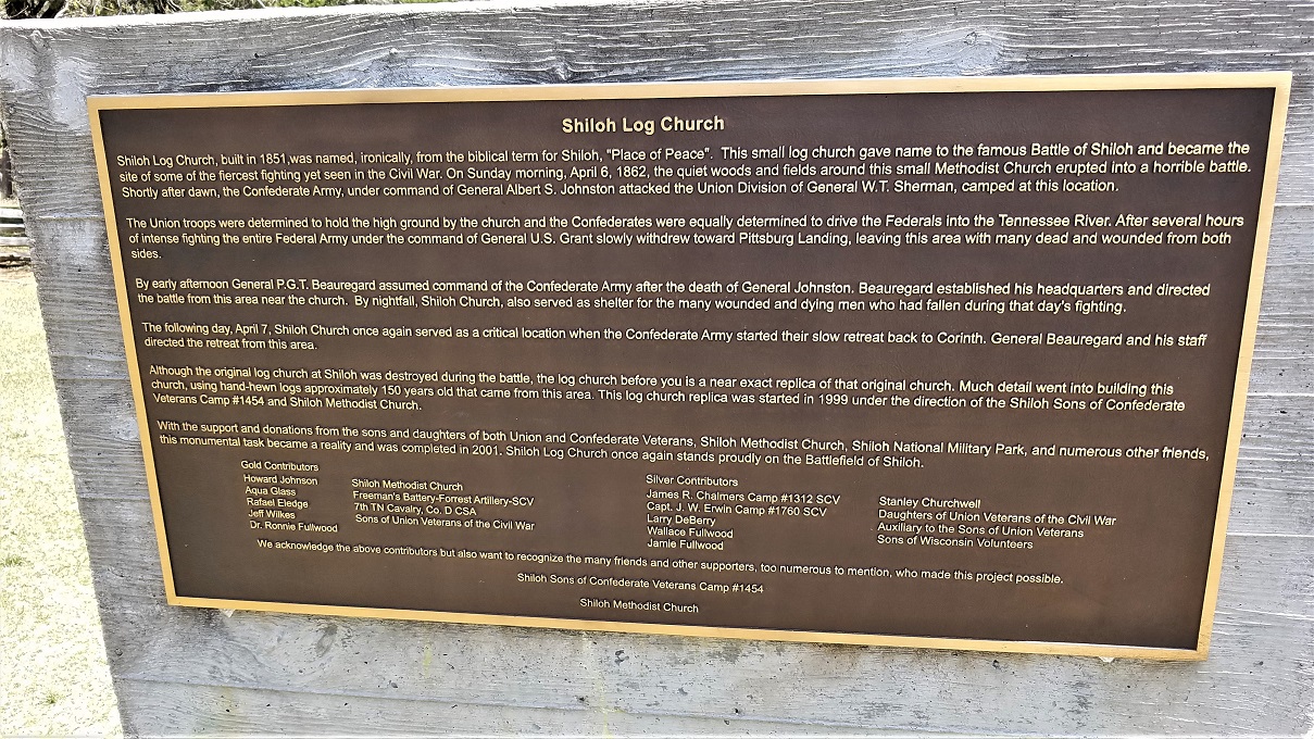
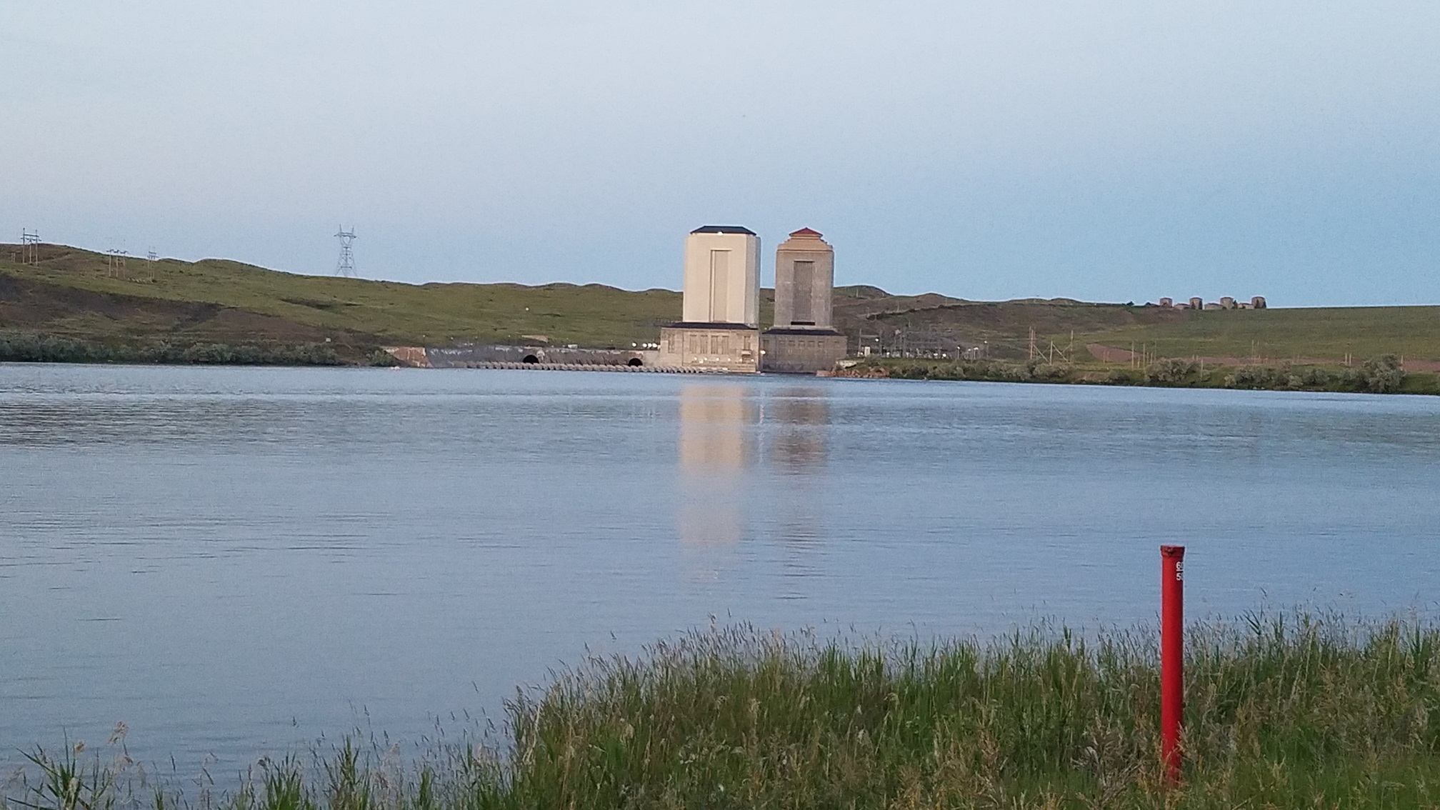
Our first stop was Shiloh Battlefield, which we happened to visit on the 160th anniversary of the battle in April, 1862. As is the same with the battlefields we had visited before, the large battle area is covered with plaques, markers and memorials, all marking where battles occurred, troops were stationed and artillery was placed.


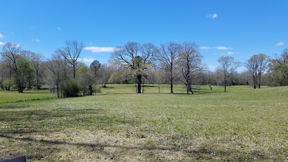
The battle began in a peaceful meadow with a small creek flowing through and wildflowers blooming. It was hard to imagine the carnage that destroyed that quiet beauty.
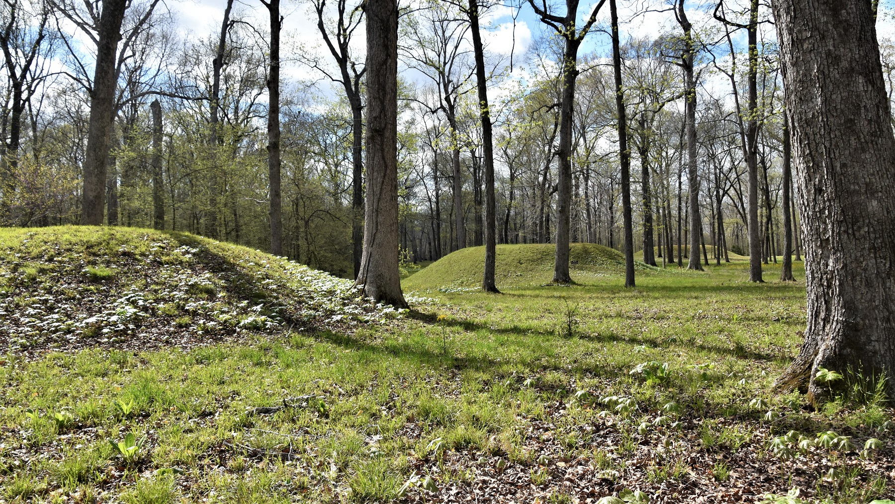
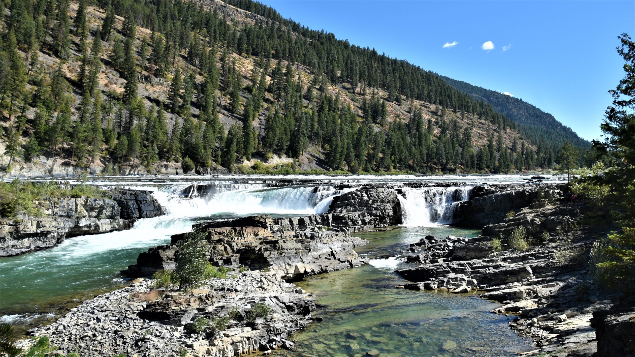
The battle took place along the Tennessee River, which was an important trade route for early native Americans. There is an ancient mound community preserved as part of the battlefield.

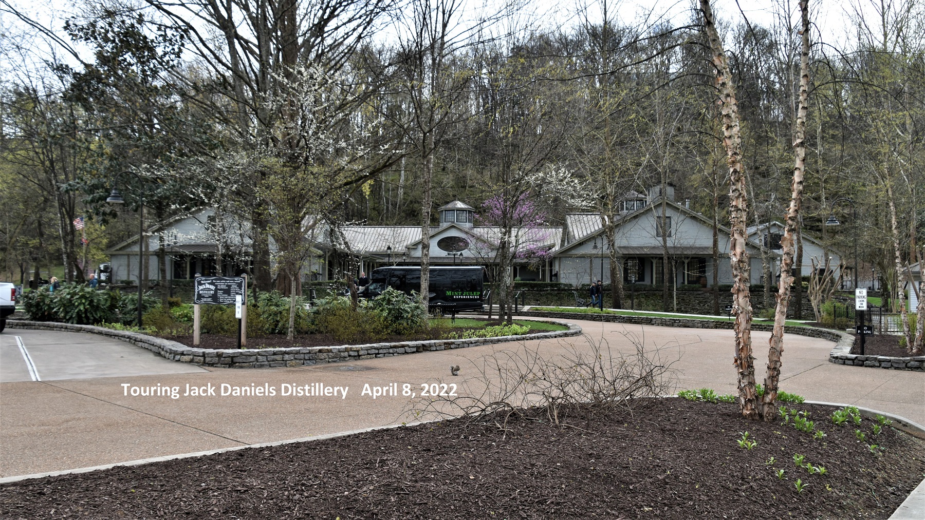
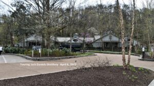
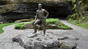
Our next stop was much more light-hearted and fun: Lynchburg, the home of Jack Daniels whiskey. The town is built in the hills with springs and creeks running through the area and a pretty strong smell of fermenting mash permeating the air.
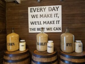
We took a tour of the facility and, unfortunately, we could not take any photos of the huge vats of bubbling mash and the (many) gallons of clear whiskey dripping slowly through giant barrels of charcoal, but it was impressive. The grounds of the distillery are beautifully kept and there is a small museum and gift store to explore while you wait for your tour to begin.
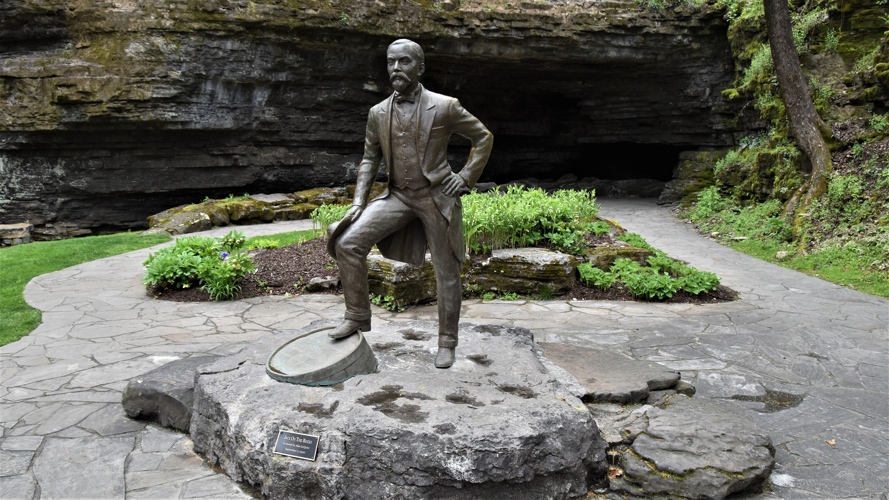
‘Jack on the rocks’
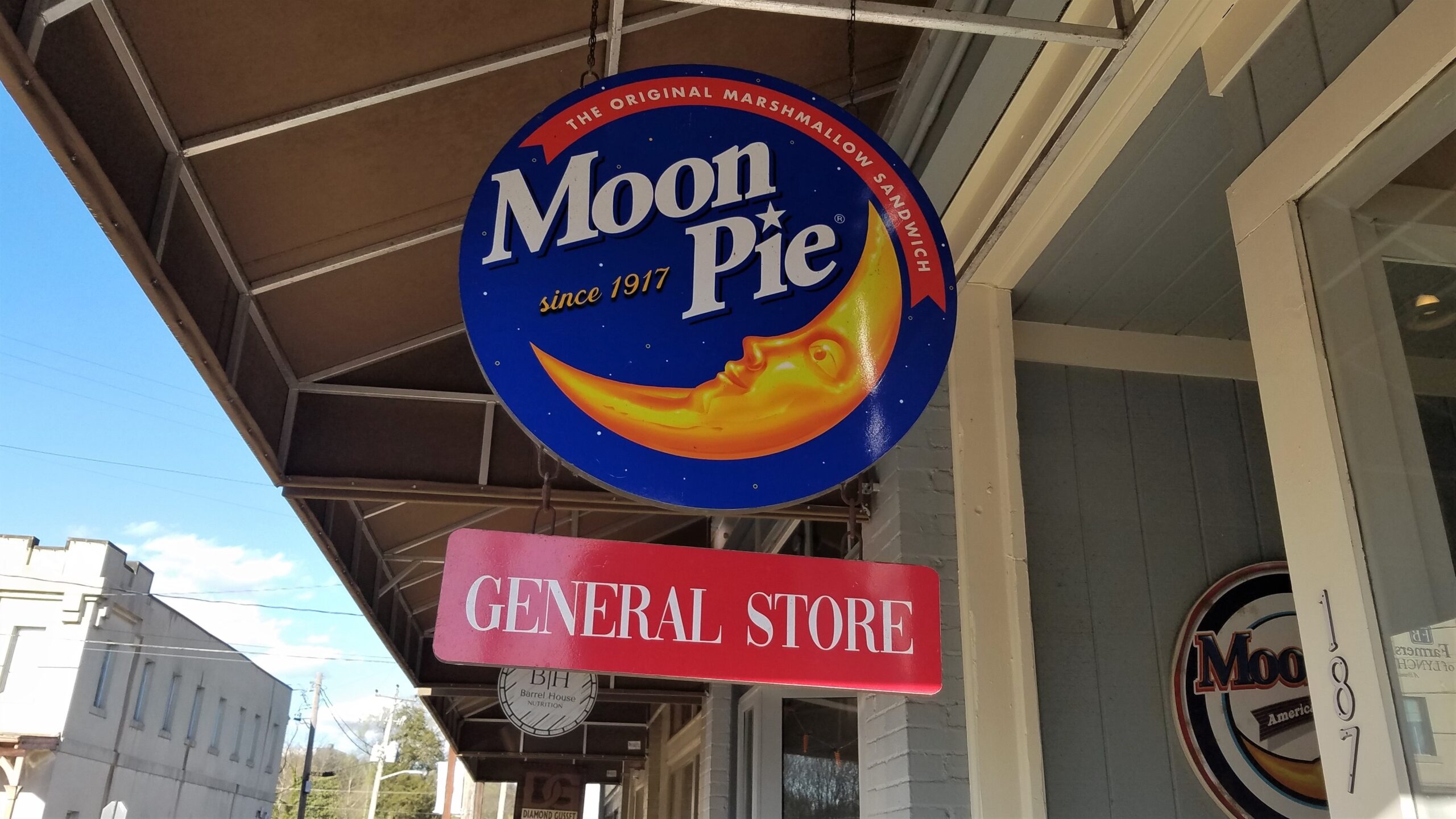
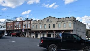
There is a historic downtown area with stores, museums and restaurants.

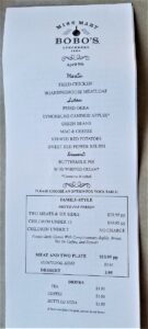
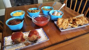
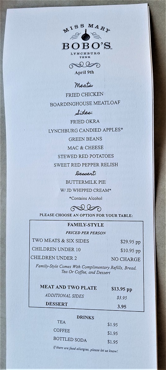
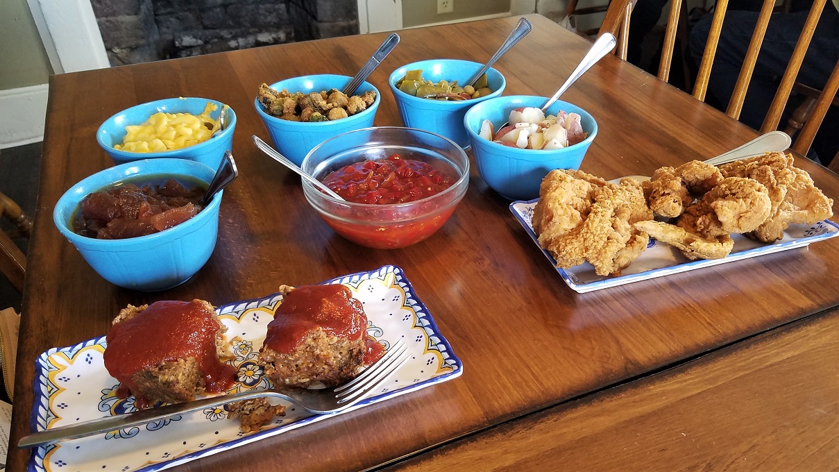
We topped off our stay with a wonderful meal at Miss Mary Bobo’s, a former boardinghouse that serves family-style southern meals.
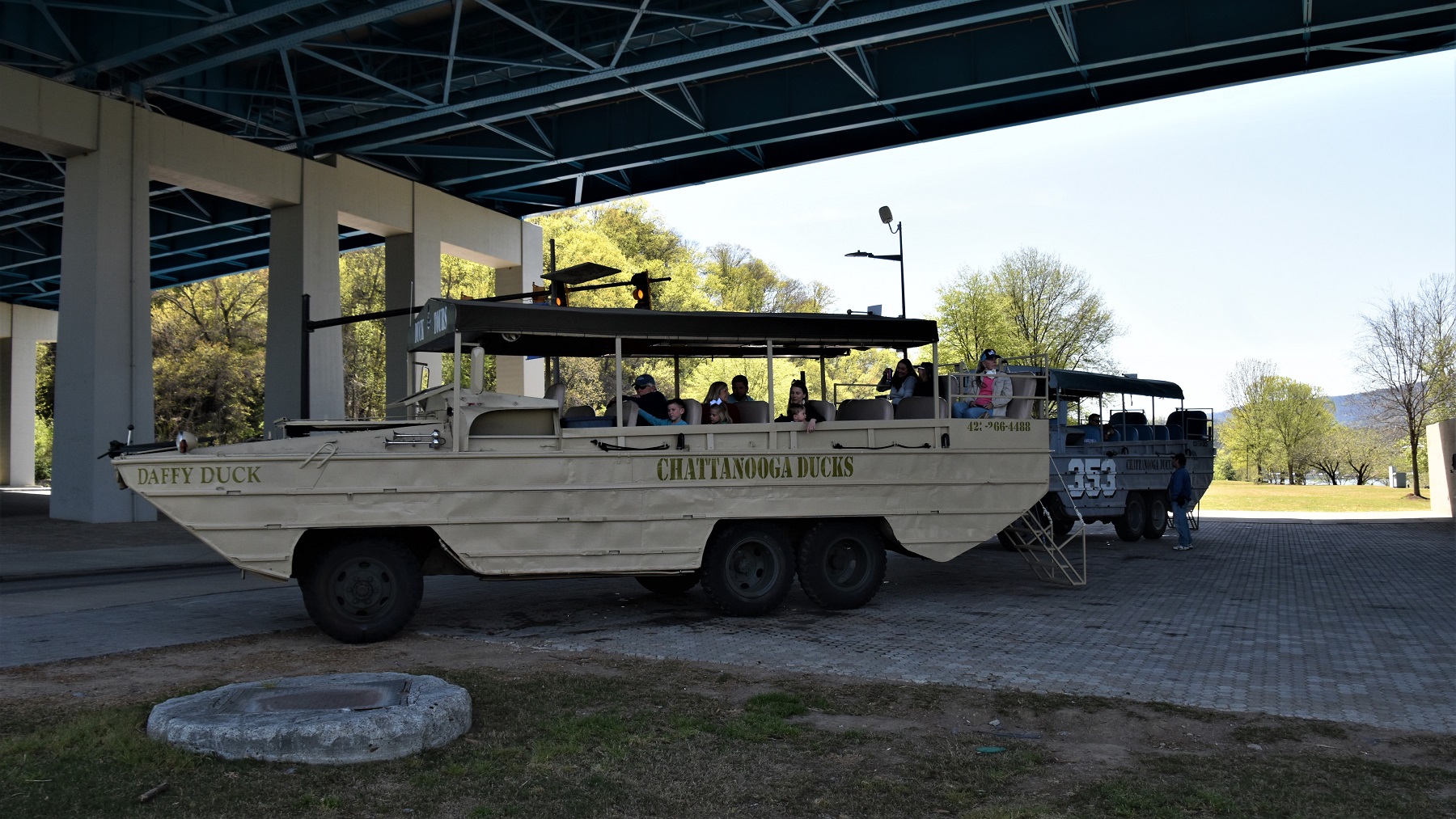
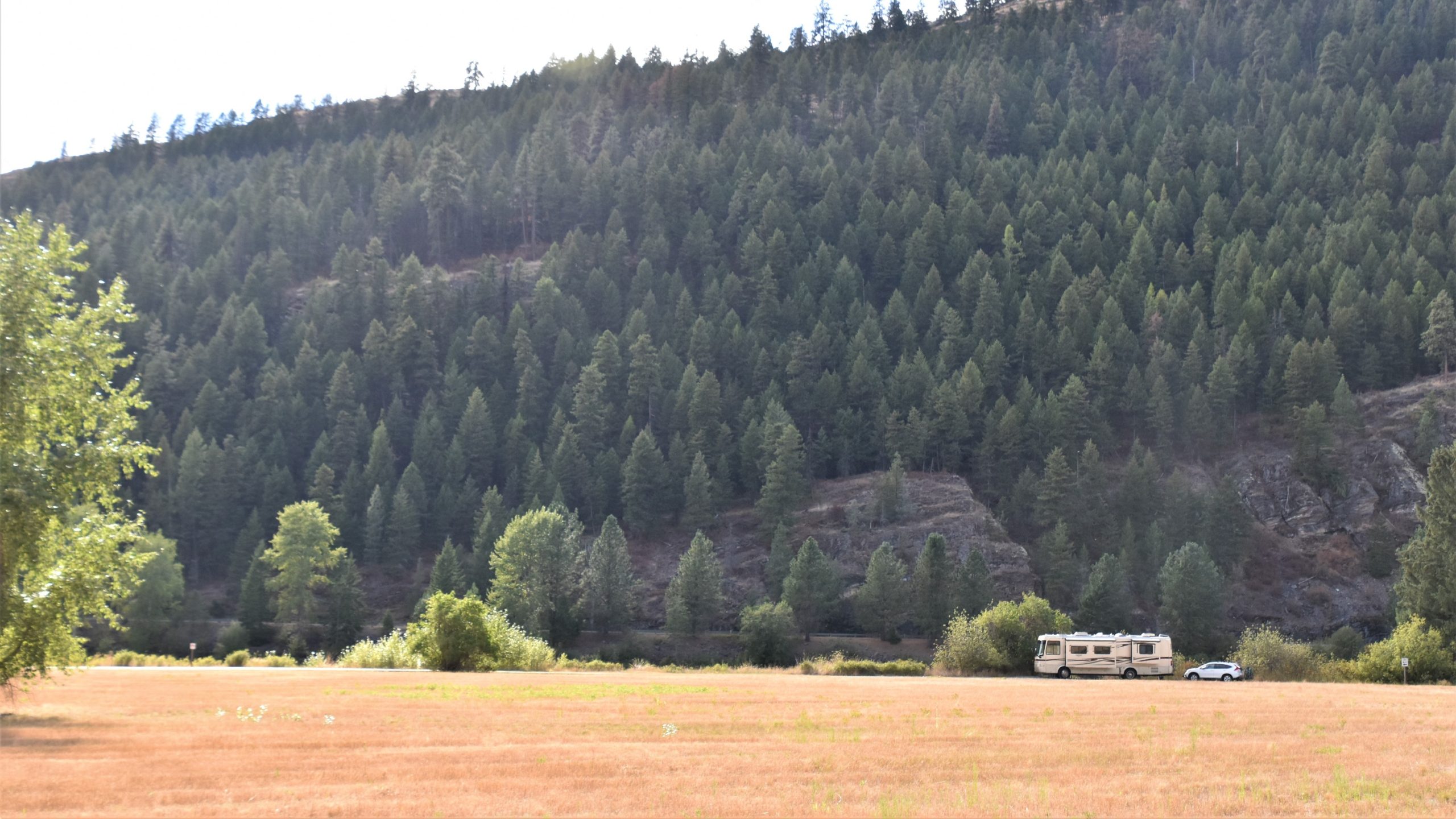
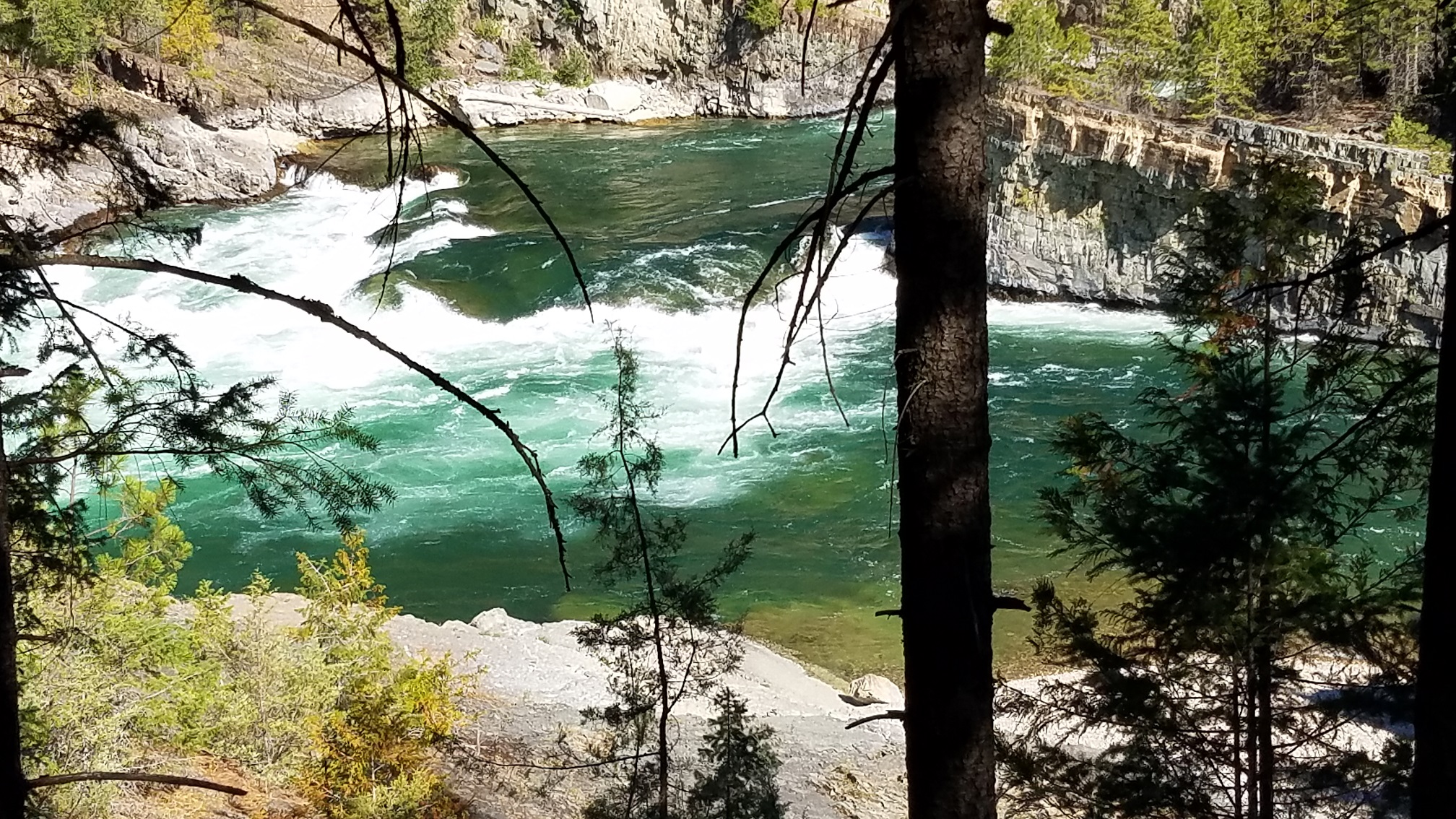
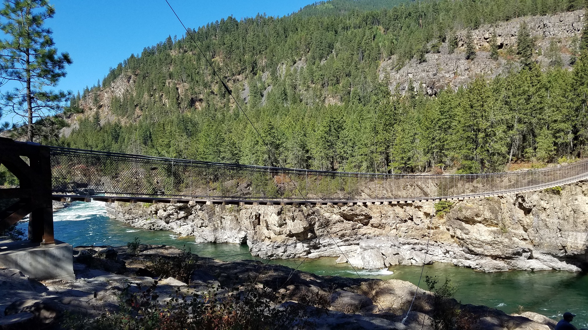
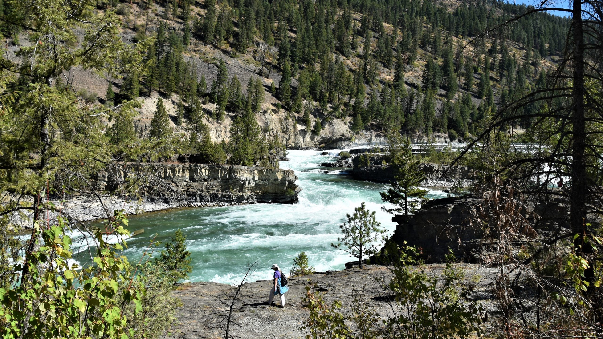
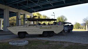
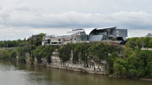
Then it was on to Chattanooga, which is so close to Georgia that driving around the area we were constantly crossing state lines. We stayed in Chattanooga for a week because there was so much to do. Our first day there, we took a duck boat tour, something we have done before in other cities. The duck boats are surplus WWII vehicles that start out on land and then cruise in the water for a bit. We like tours like this because it gives us a good overview of the area.
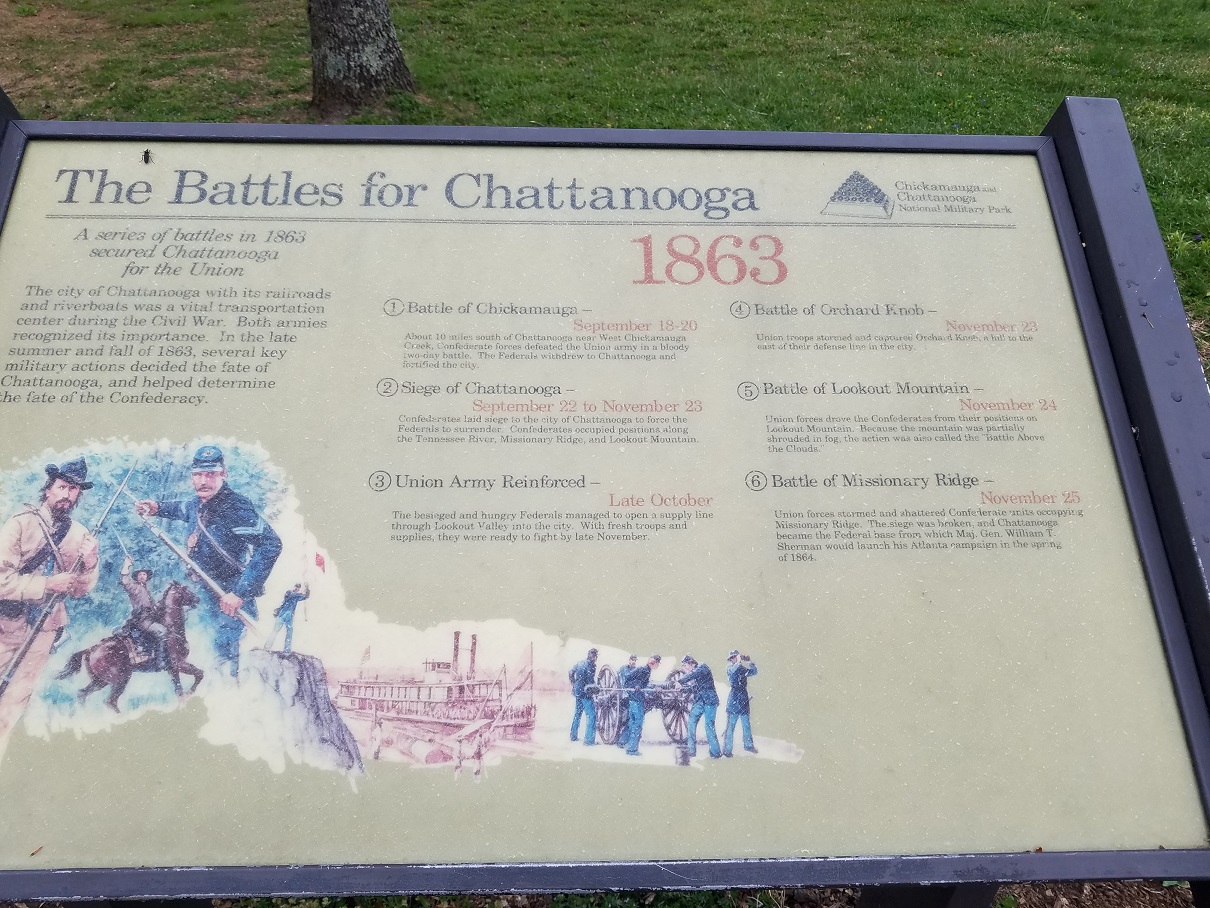
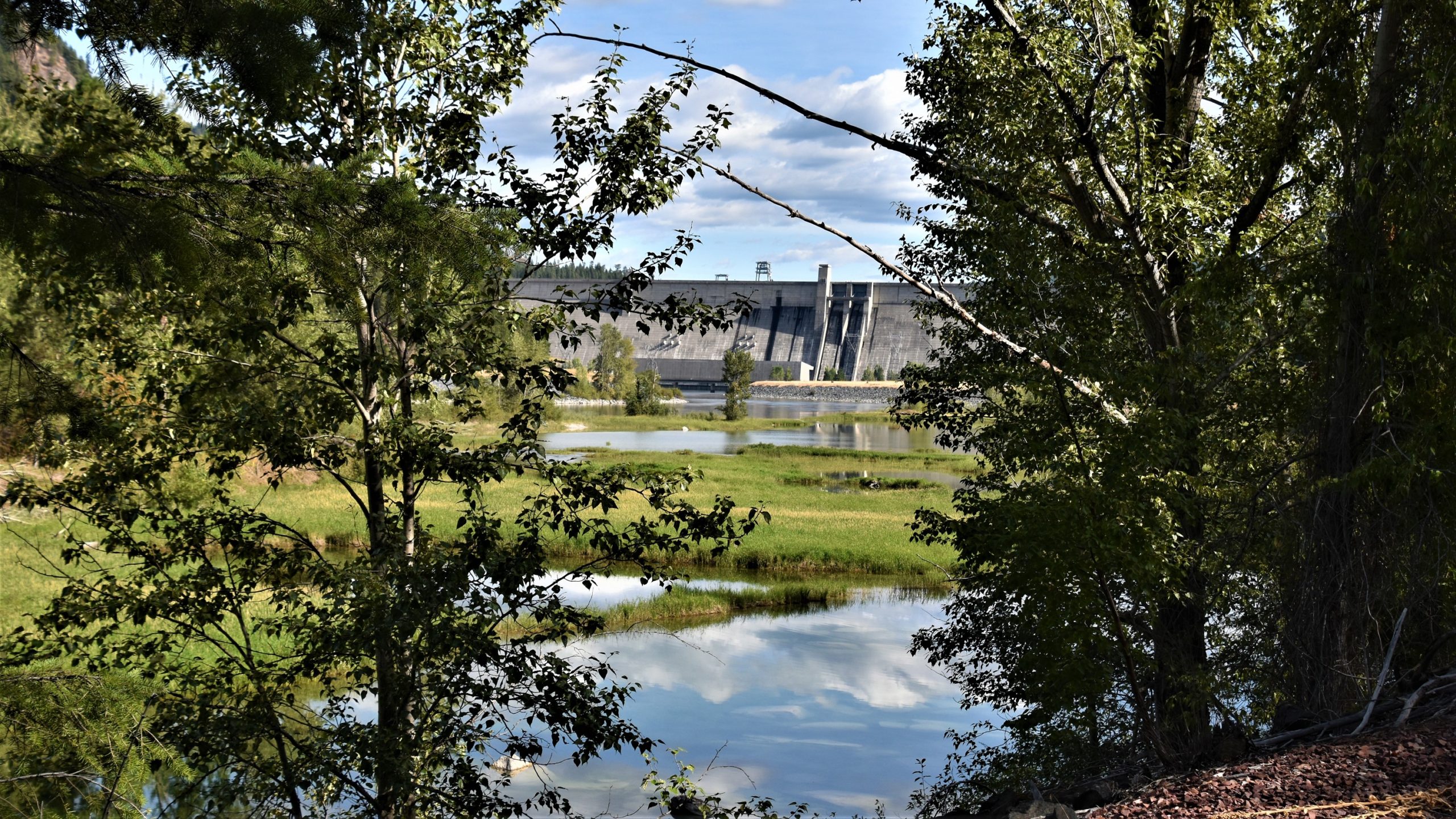
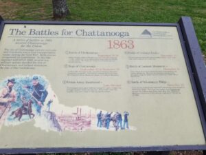
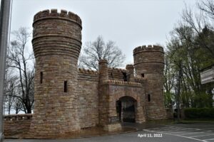
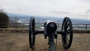
Lookout Mountain overlooks Chattanooga and the surrounding area and we spent several days driving up the very steep and winding roads to visit its many places of interest. In 1863 there were several Civil War battles on and around the mountain and these areas are preserved by the National Park Service.
Even the RV park where we stayed was the site of a federal troop encampment during one of the battles.
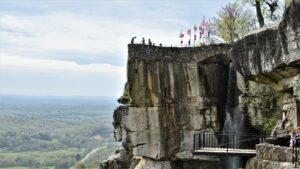
Point Park, at the top of the mountain, preserves one of the battlefields. Once you walk to the edge of the park, you can see why this was such a desirable location for the Union army.
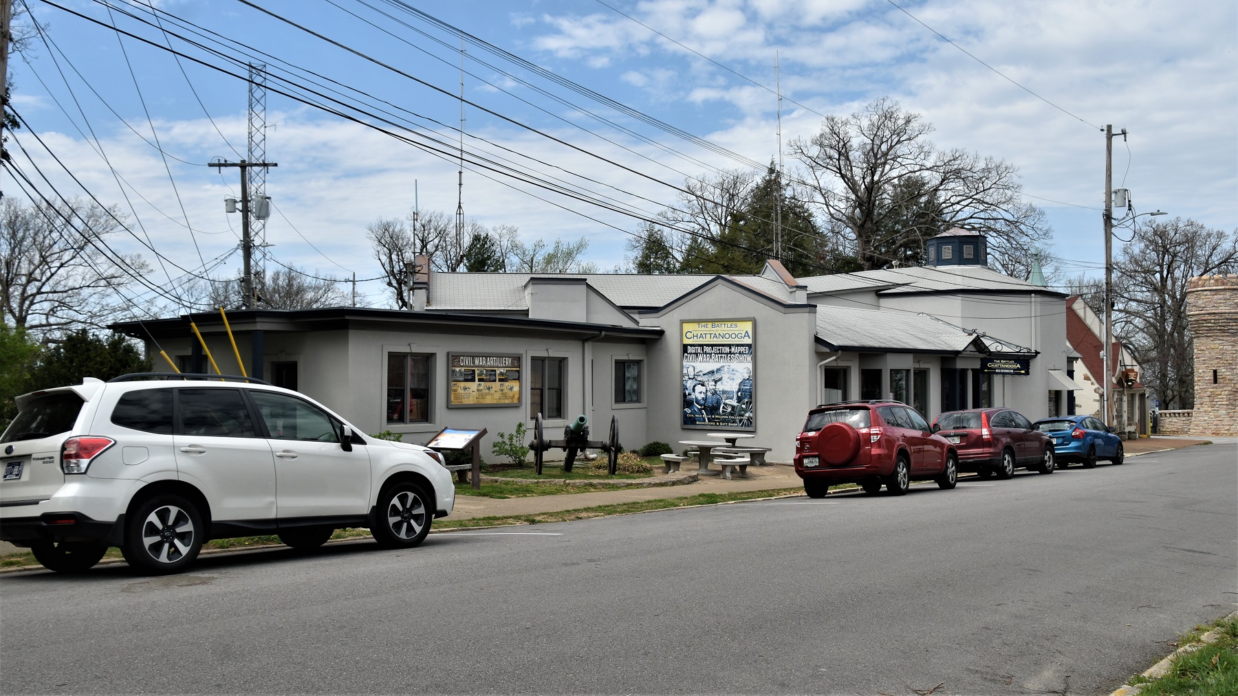
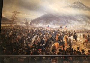
There are a couple small museums outside the park and one of them has a 3D lighted map that shows the surrounding battle areas and how the two armies moved into position to fight. There is also a wonderful wall-sized mural depicting the battle of Lookout Mountain in the NPS Visitor Center.
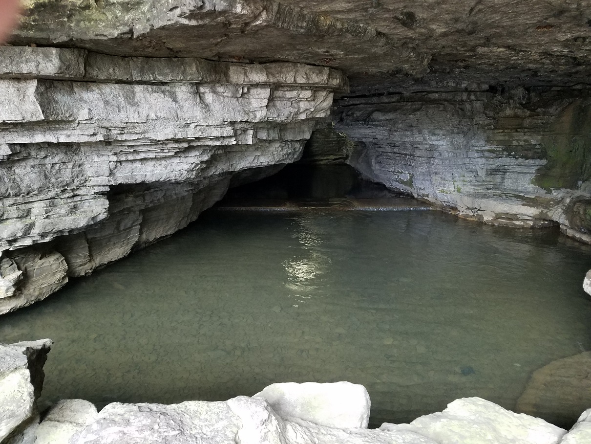
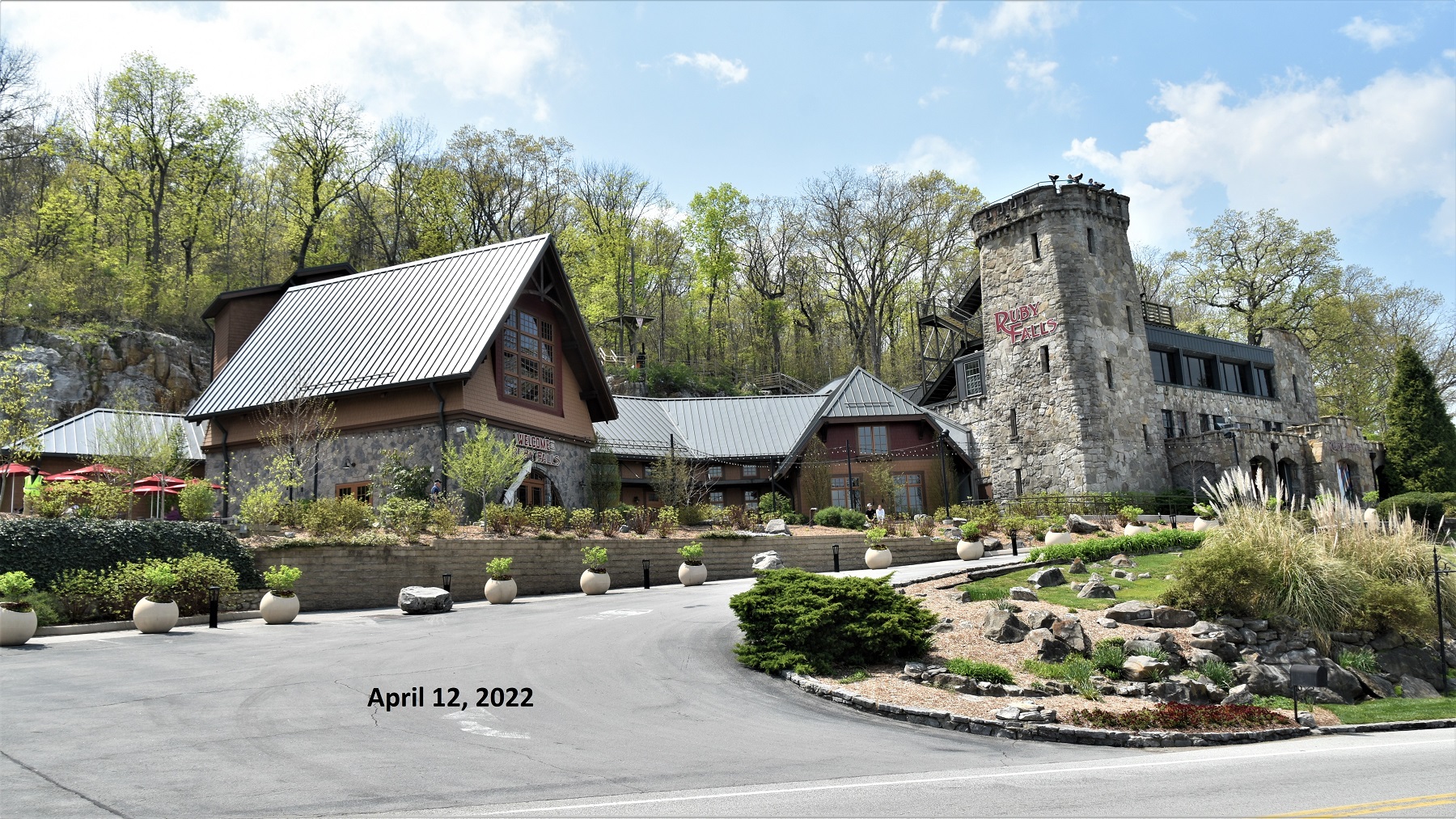
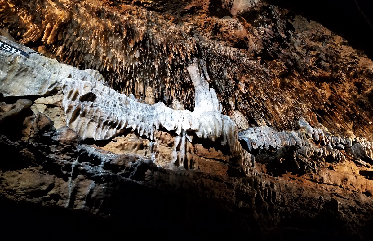
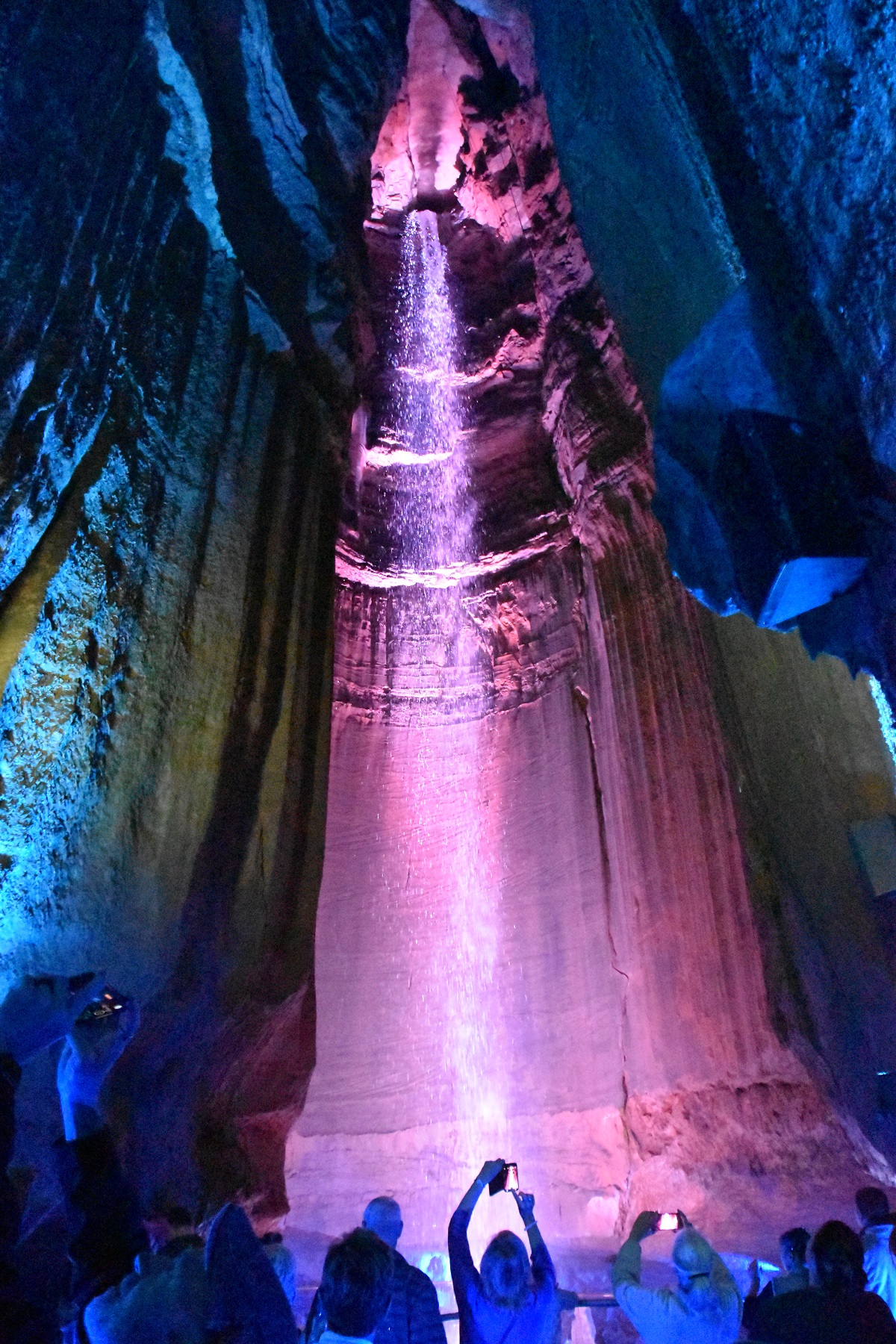
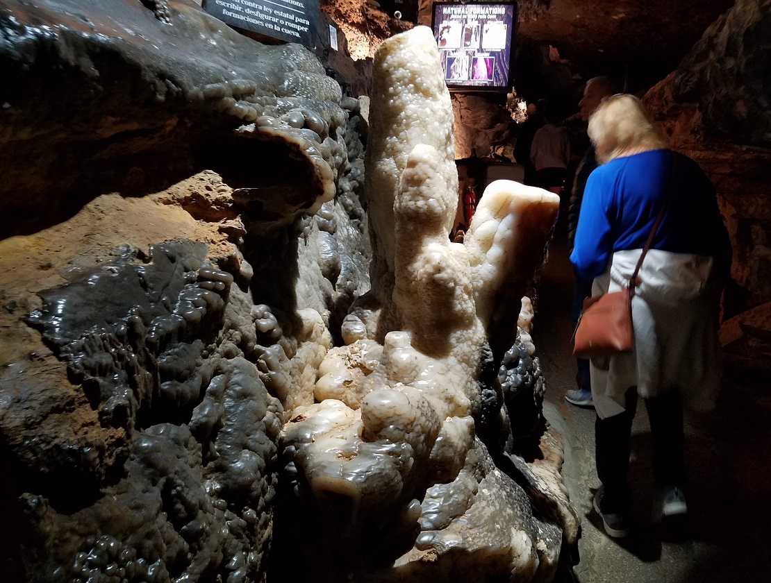
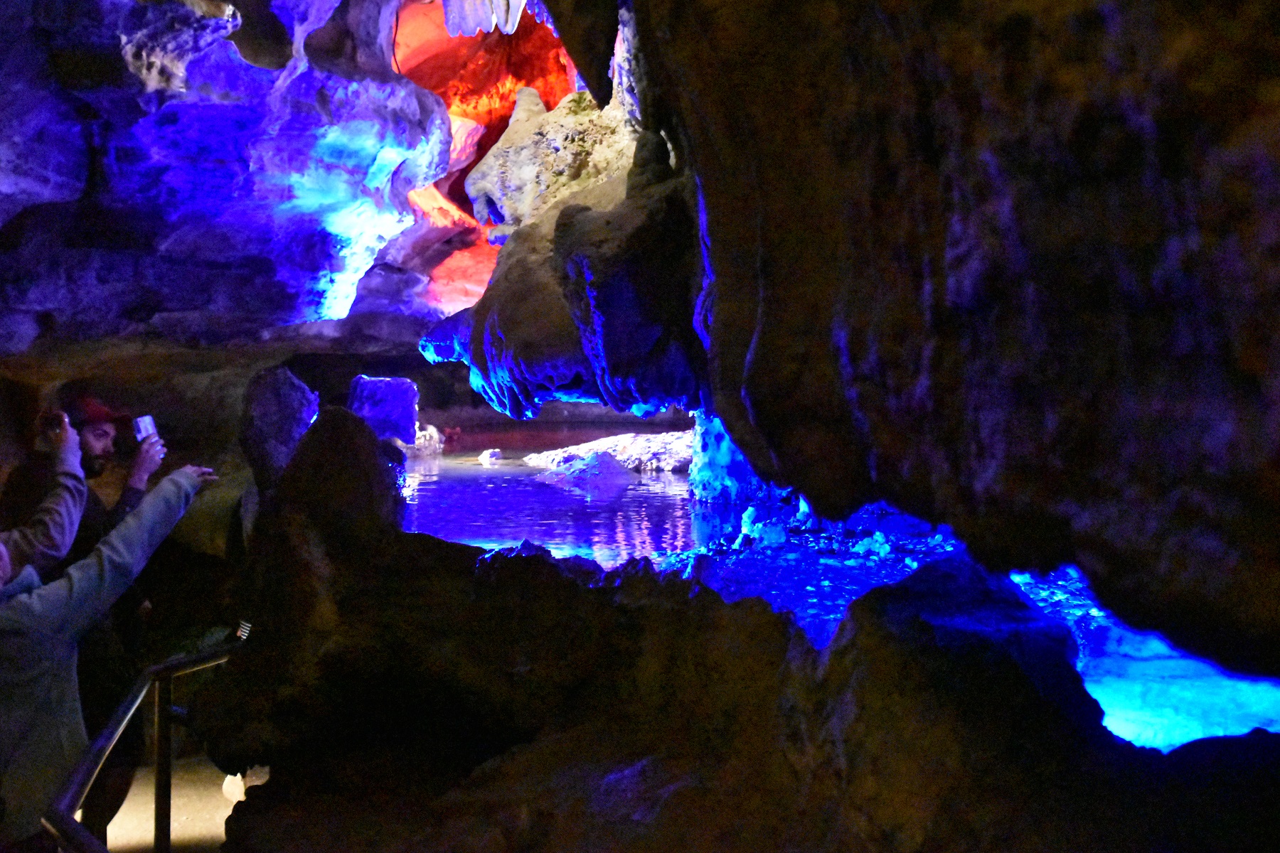
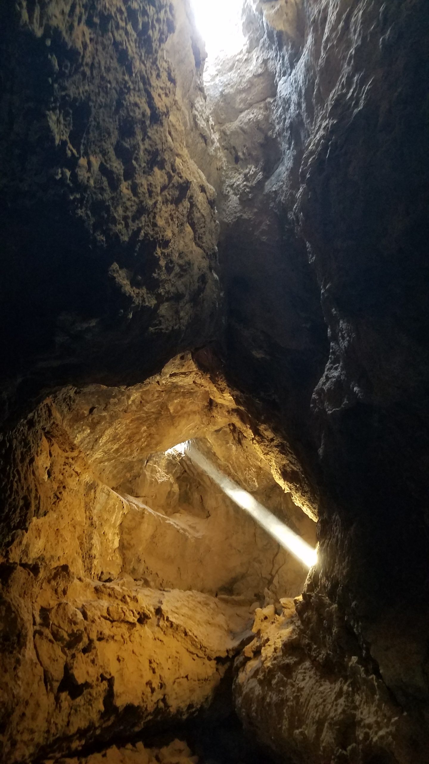
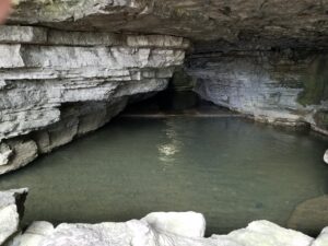
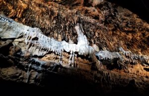
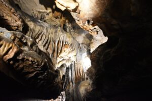
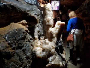
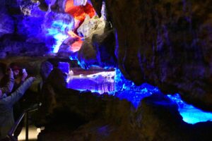
The next day we visited Ruby Falls, the tallest (145 foot) underground waterfall open to the public.

The elevator which takes visitors closer to the waterfall was broken, so we got to take a longer-than-normal walk through the cave to the waterfall and then a different route out again. There are all kinds of cave formations to enjoy along the way, and colored lights to add some drama.

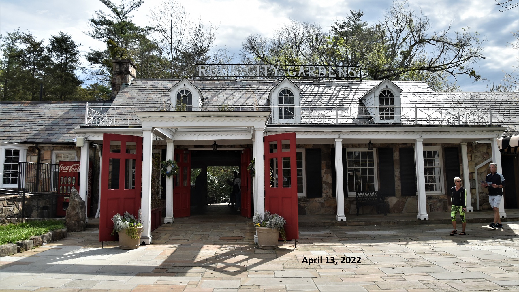
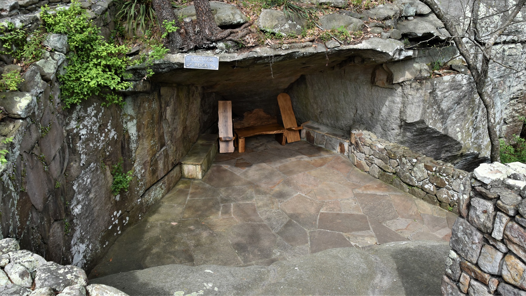
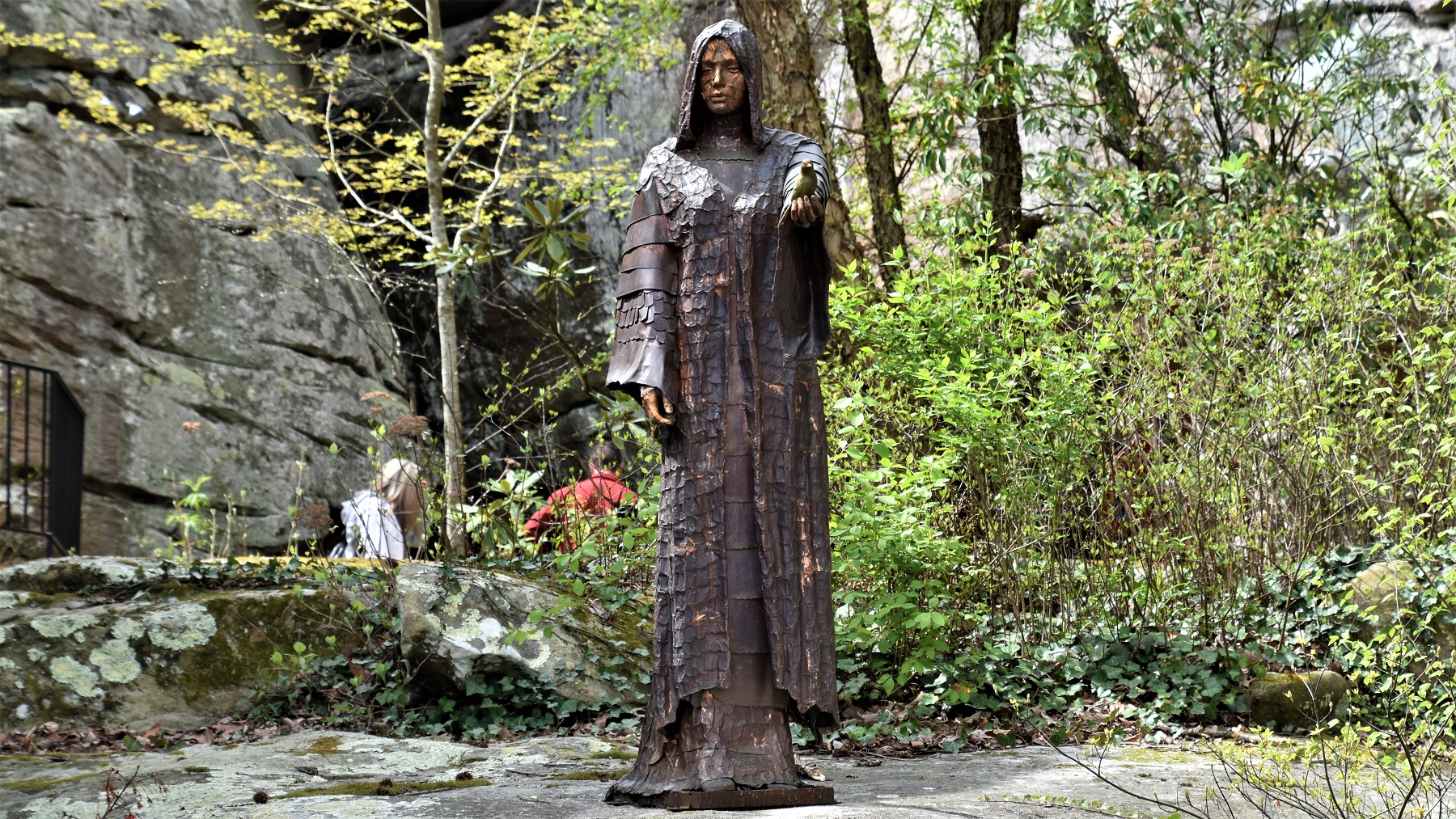
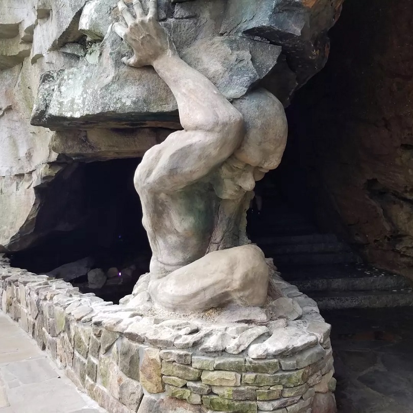
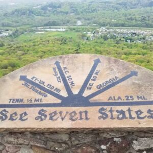
The next day, we drove back to the top of Lookout Mountain to visit the fabulous Rock  City Gardens, an area that was begun in the 1930’s by the Carter family. Mrs. Carter ran a string along a path through giant boulders and that began the gardens. The path today goes through huge rocks, over bridges and up steps to Lover’s Leap at the edge of the mountain where once it was possible to see parts of 7 states ..or so it is claimed.
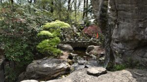
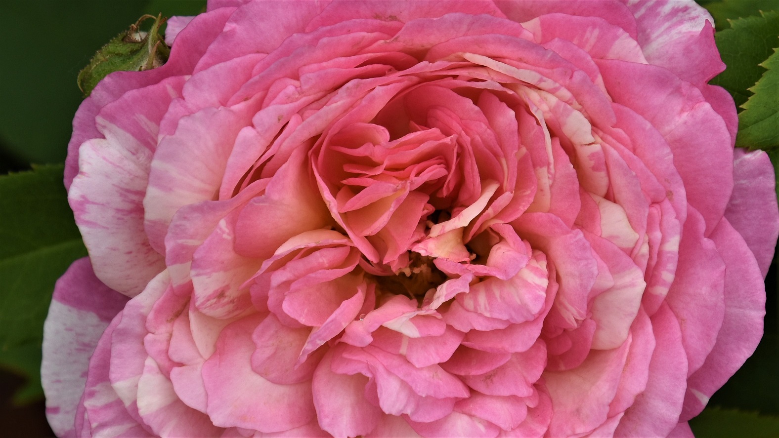
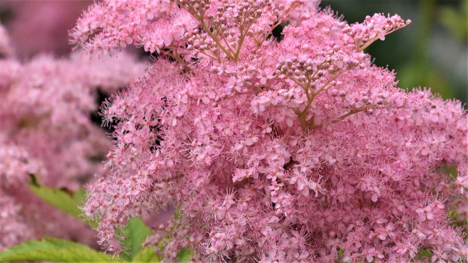
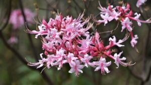 We were there when the wildflowers were in full bloom and it was just beautiful.
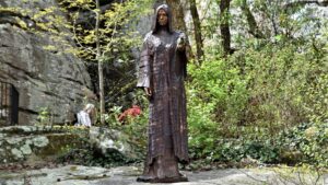
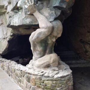
Statues and rock creations were interspersed throughout the walkways.
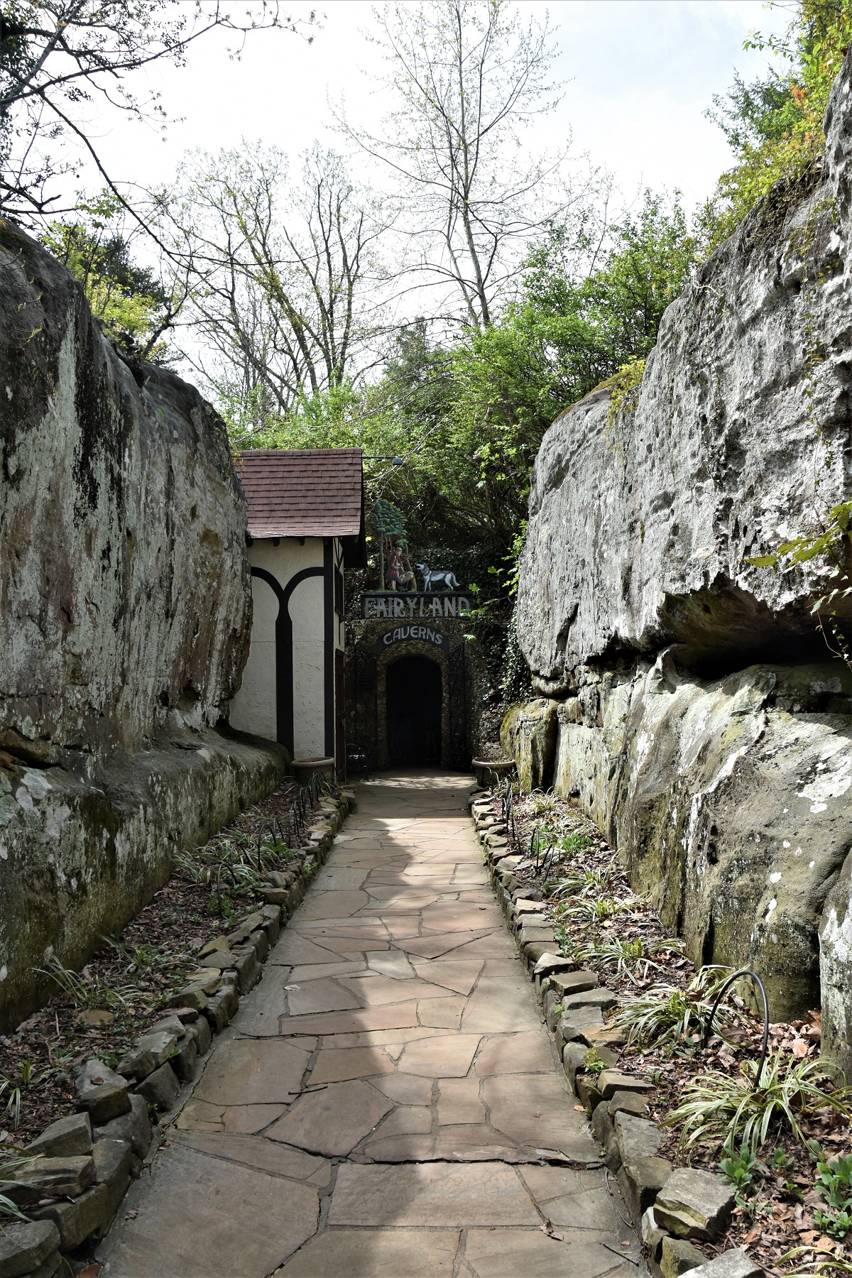
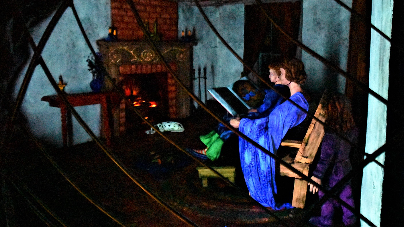
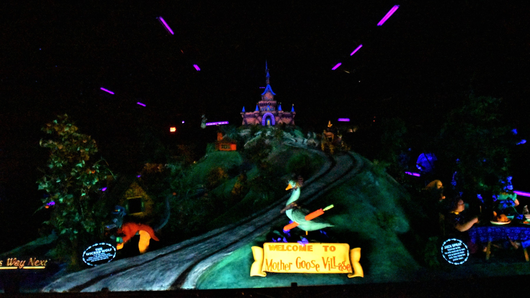
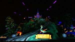
At the end of all the trails is Fairyland, a special cavern full of characters from fairy tales and nursery rhymes for the kids to enjoy.


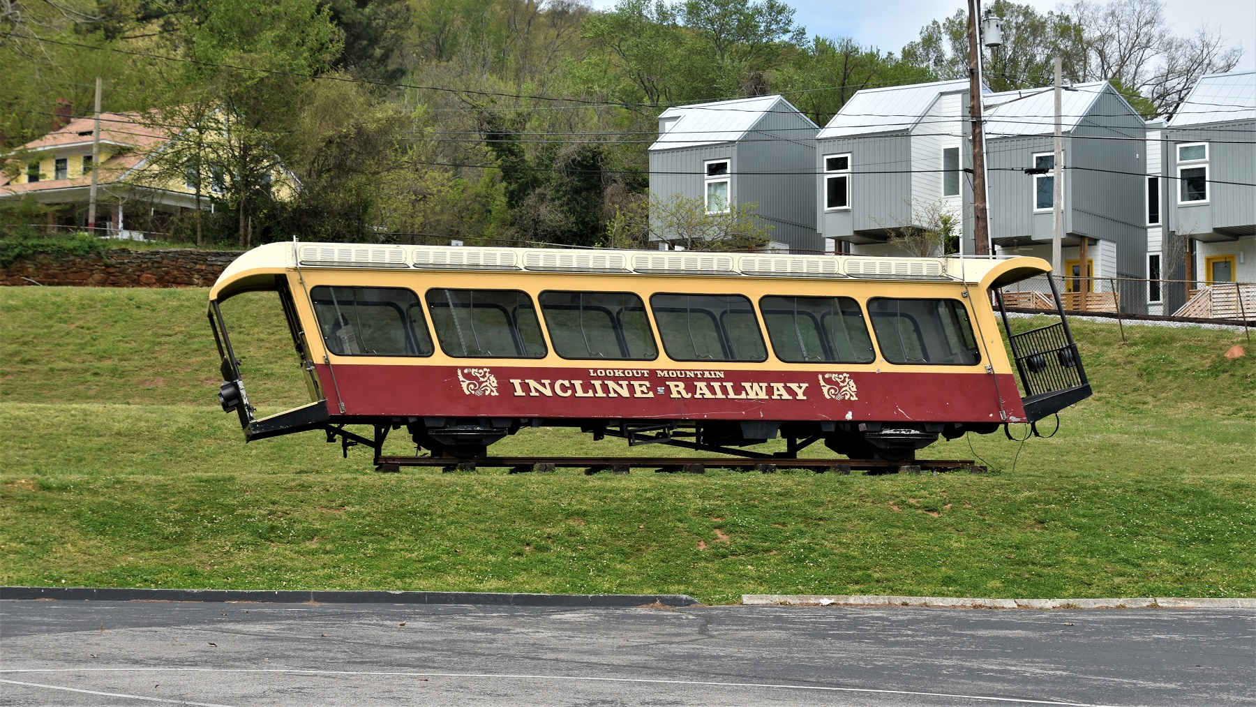
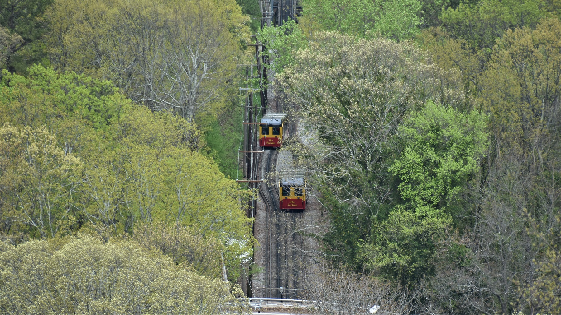
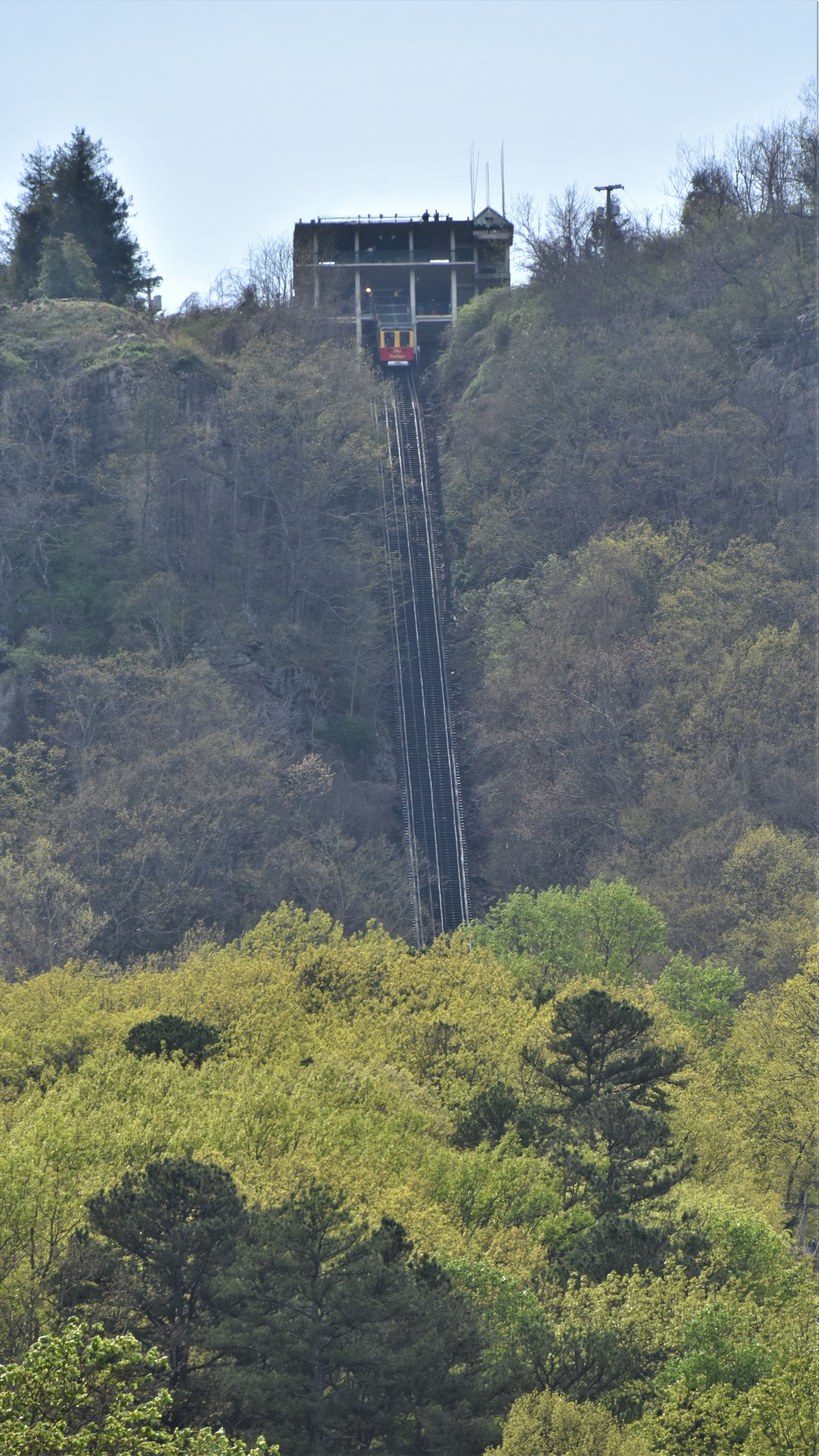
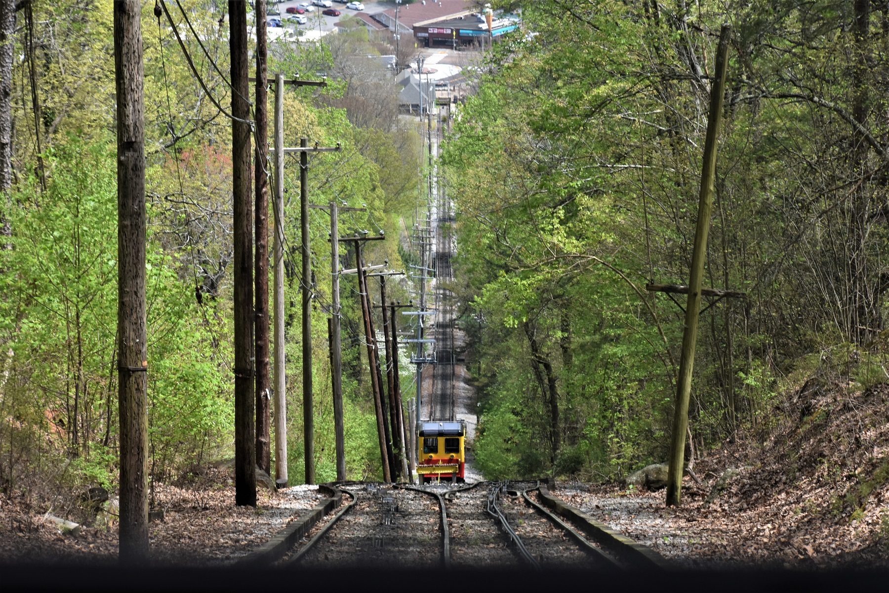
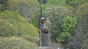
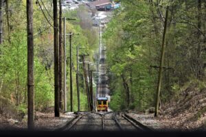
When we were finished at Rock City Gardens, we drove to the bottom of Lookout Mountain to take Incline Railway’s one mile long, very steep ride back to the top of the mountain and then down again.
 The train is counter balanced with a rail car going each way, up and down, at the same time.
The angle of the track is so steep at the top that you have to use a hand rail to climb up and
out of the car and onto the platform. 
As you might imagine, the views are pretty great.
The next day, we found all kinds of fun places to visit:
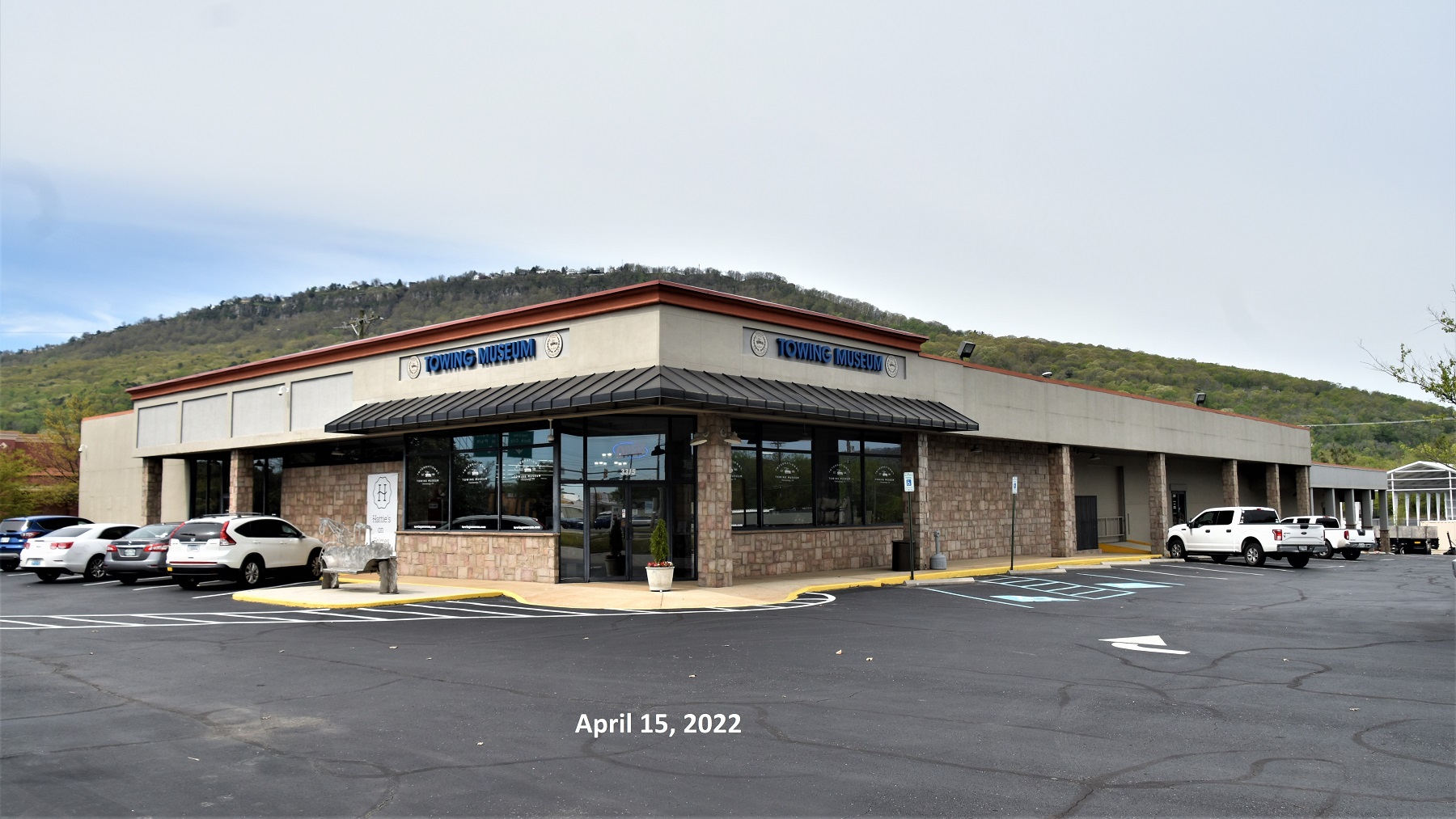
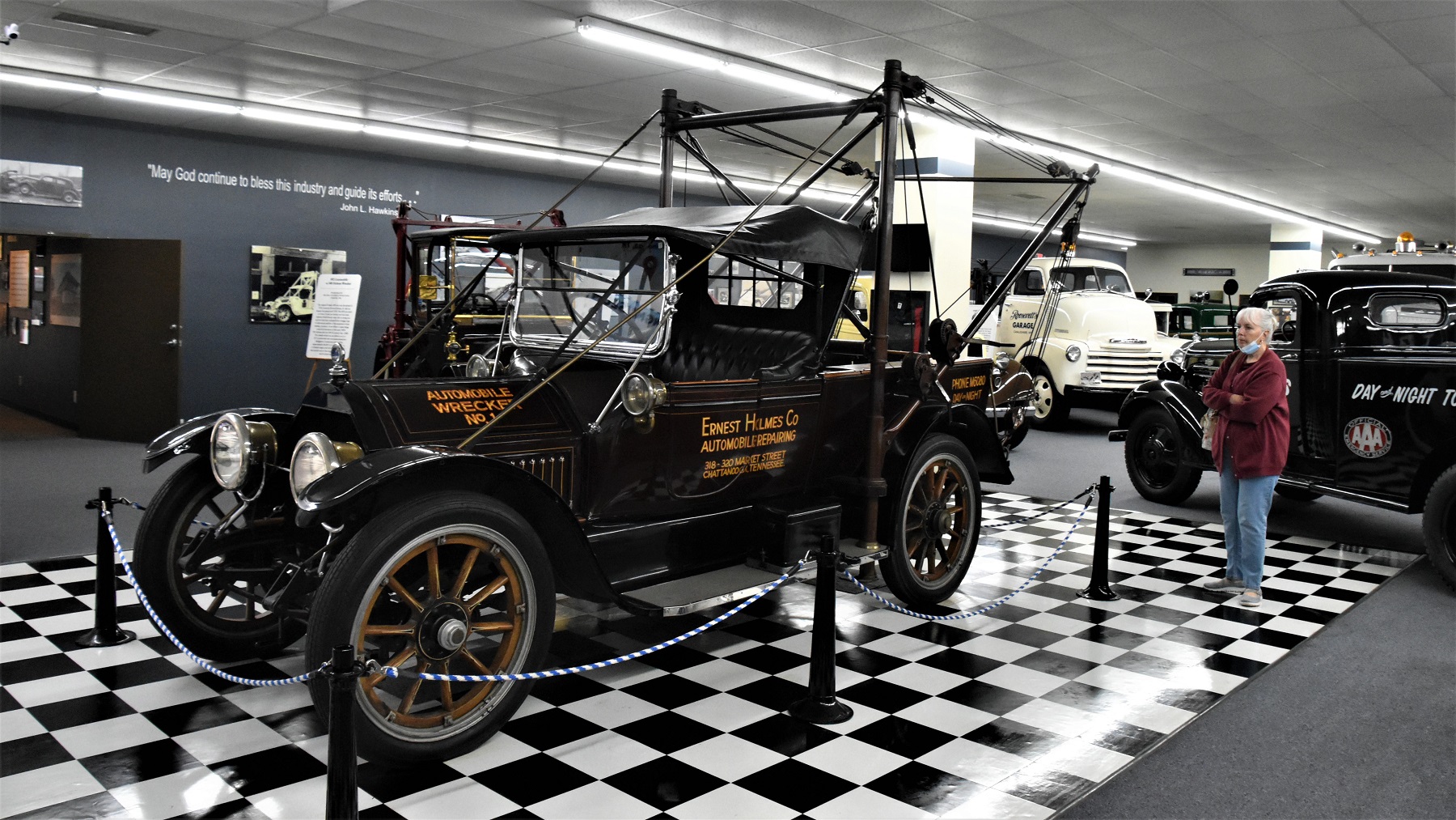
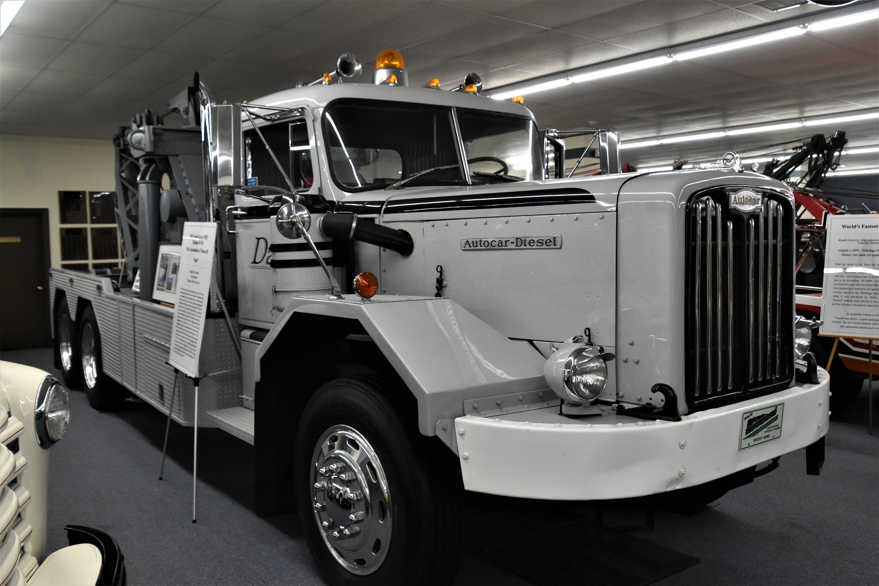
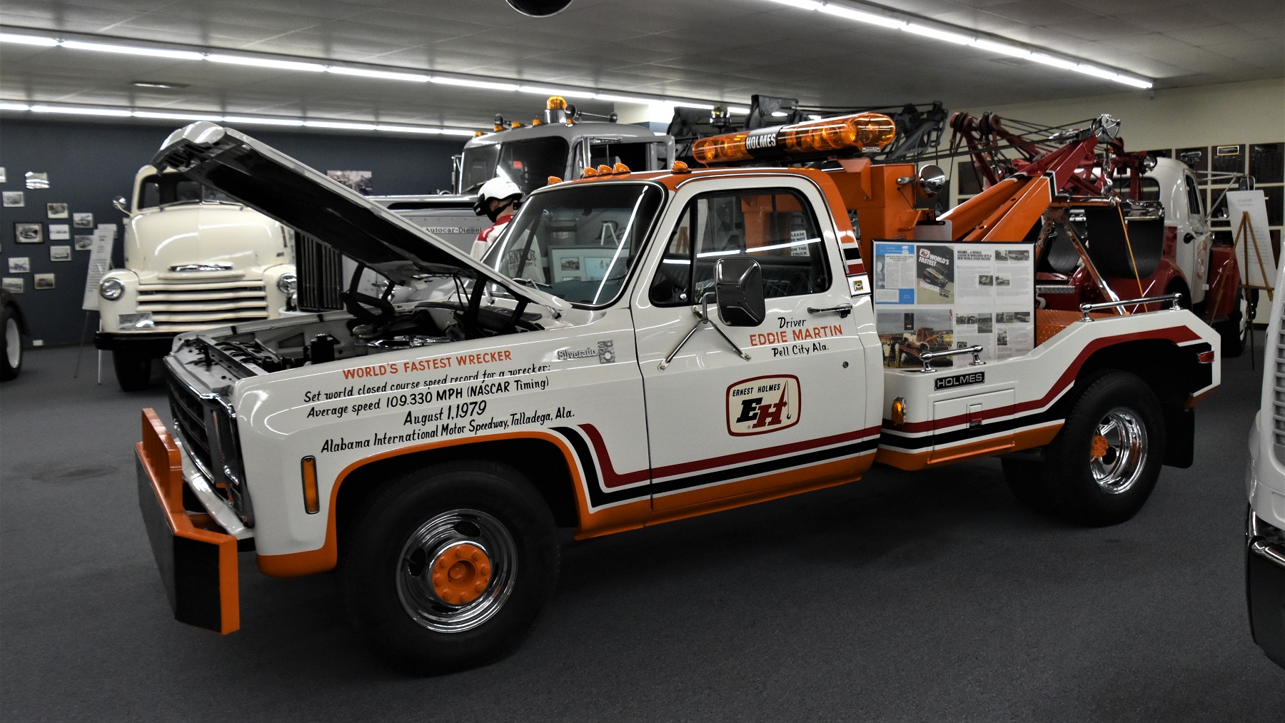
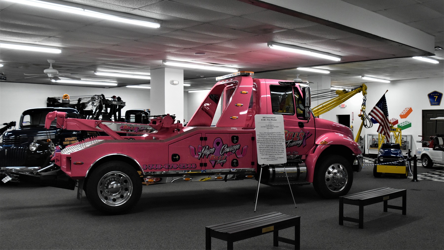
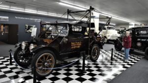
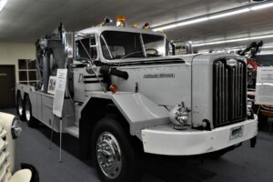
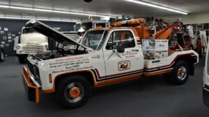
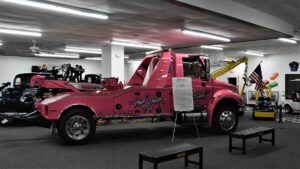
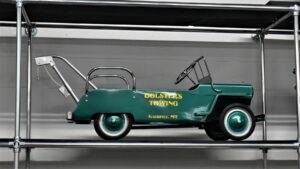
1st Stop – The International Towing Museum. Chattanooga is credited as the birthplace of the tow truck thanks to inventor Ernest Holmes, Sr.
Everything tow-related is displayed in this well-cared-for museum — from the earliest tow trucks to the most modern huge machines.
There is a toy tow truck section of the museum and there we found a little piece of home.
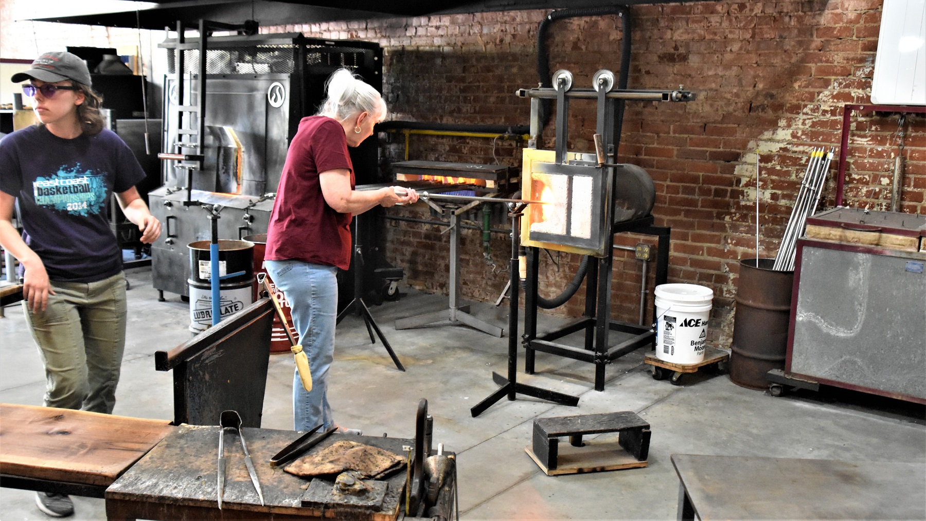
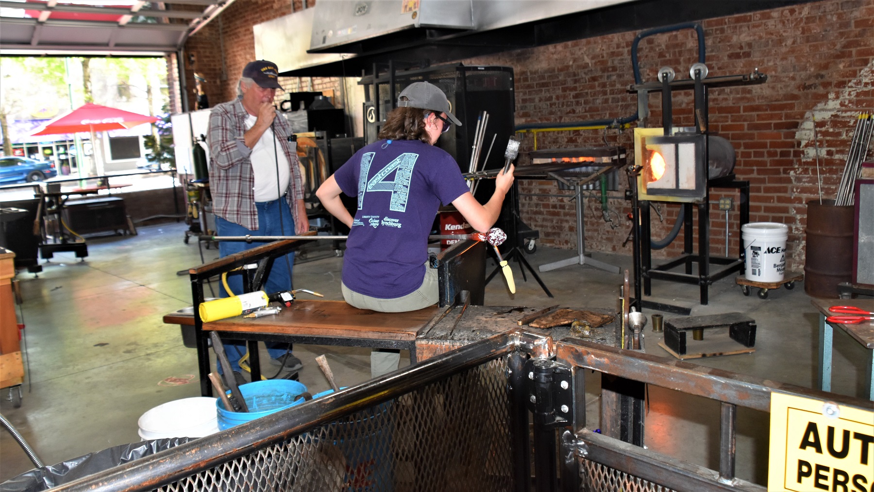
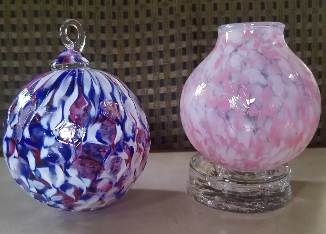
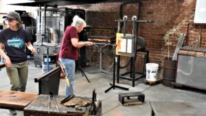
2nd fun stop of the day was at Ignis Glass Studio, where we each picked out a glass bauble that we wanted to make and then got to participate in its creation. We were allowed to hold the glass in the oven to melt and then blow on the tube while the glass artist did the actual shaping.


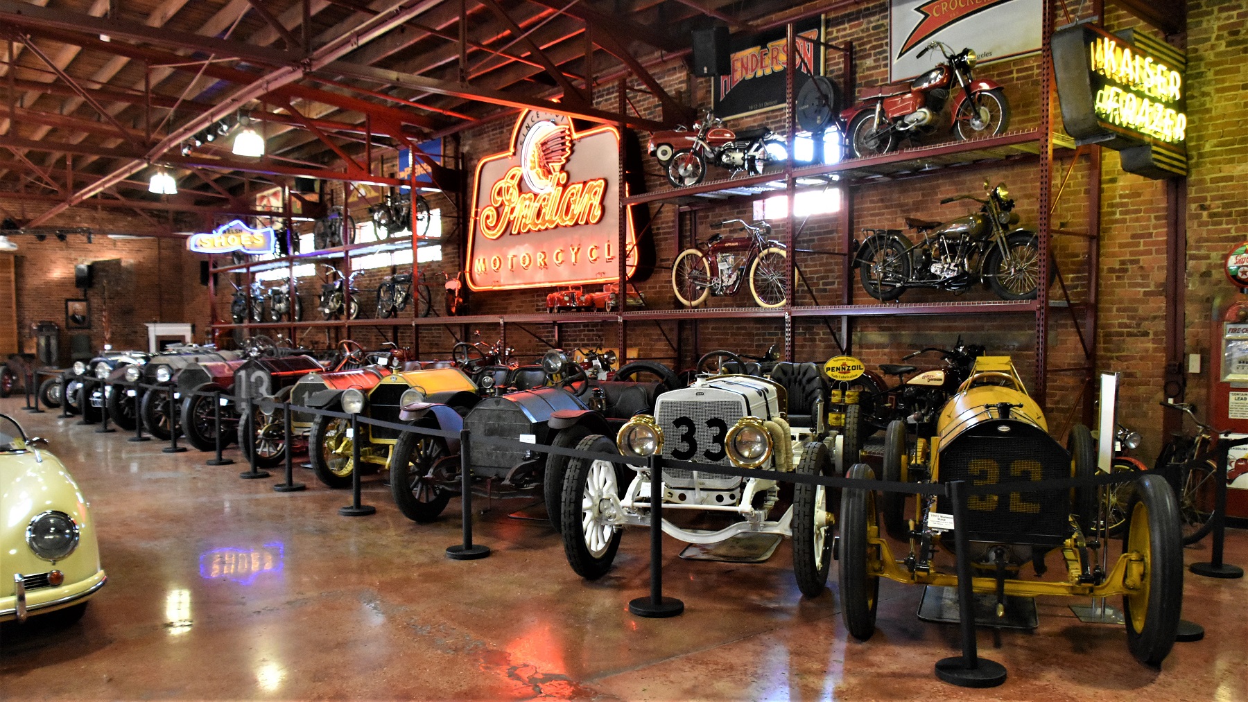
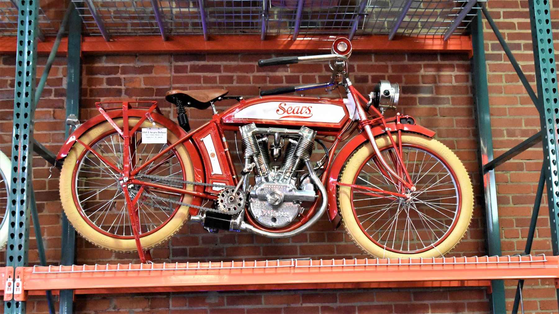
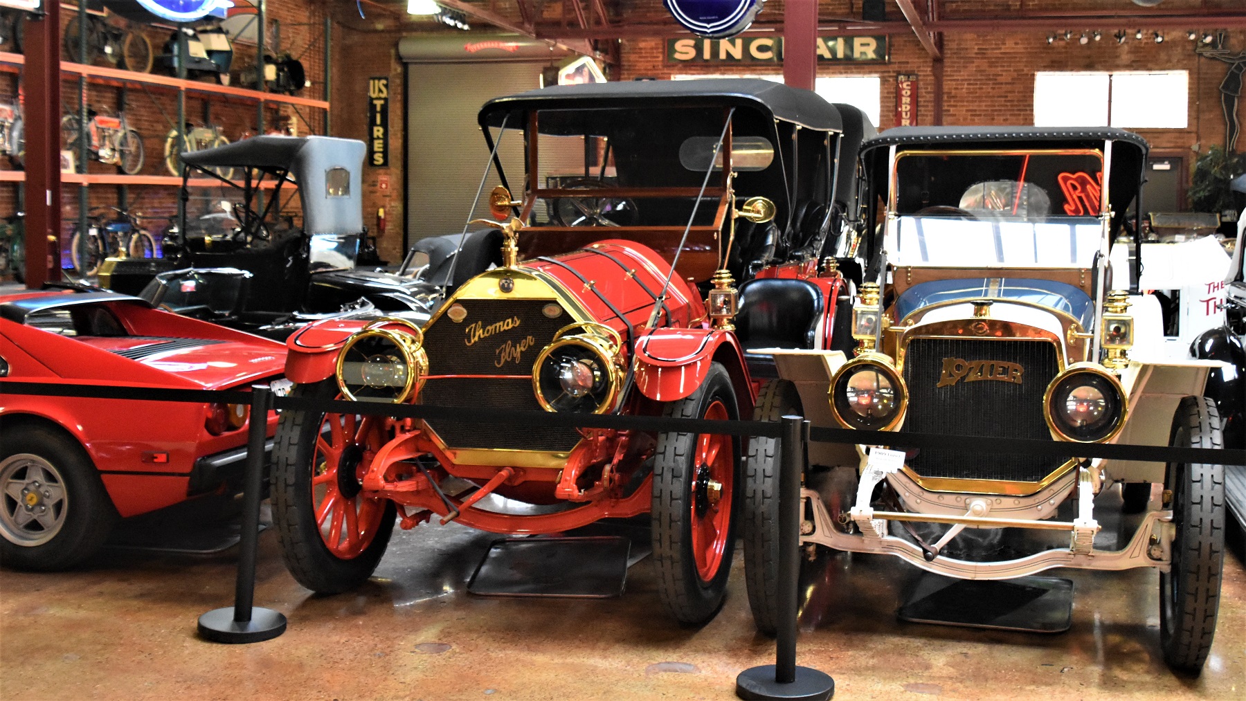
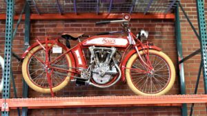
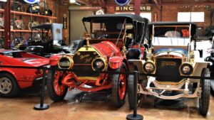
Our final stop of the day was at the Coker Auto Museum, one man’s collection of unique vehicles that he turned into a museum for the public to enjoy.

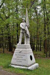
On our final day in Chattanooga we visited the Chickamauga Civil War Battlefield and Museum, which was fairly close to the RV park where we were staying and where federal troops had set up camp prior to the battle. This battle was the second deadliest battle of the Civil War, only Gettysburg had more casualties, and was a defeat for the Union forces.
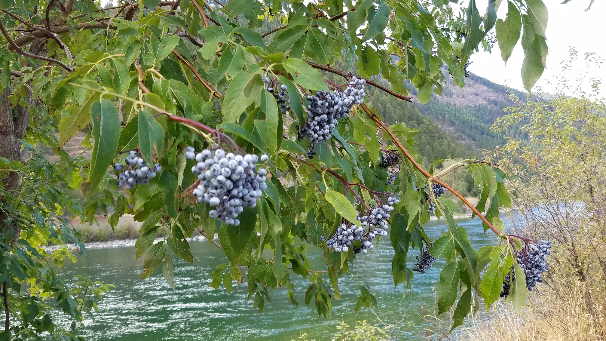
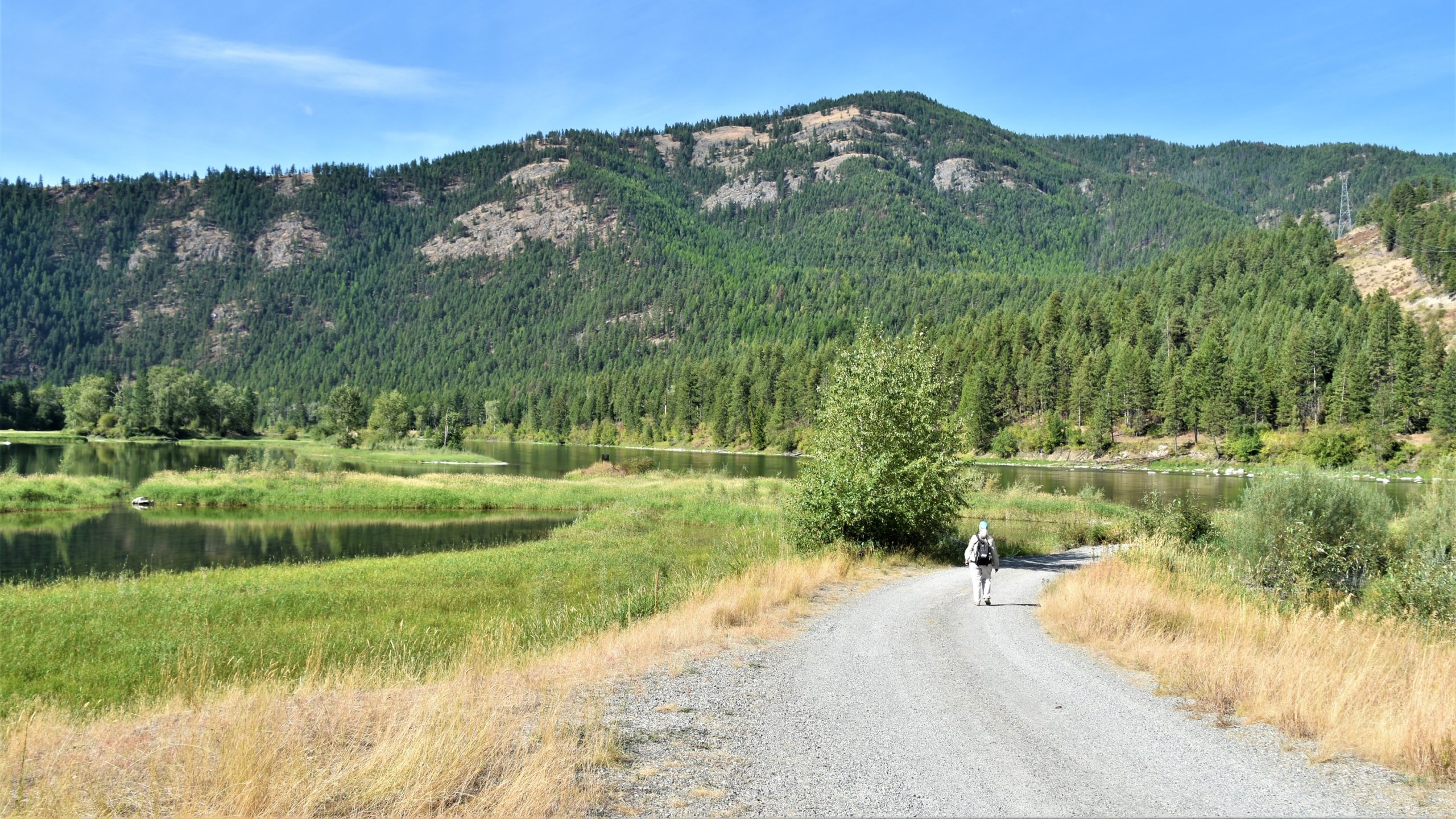
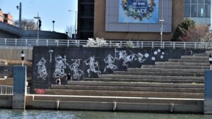
We then drove back into Chattanooga to walk a trail along, and across, the river.
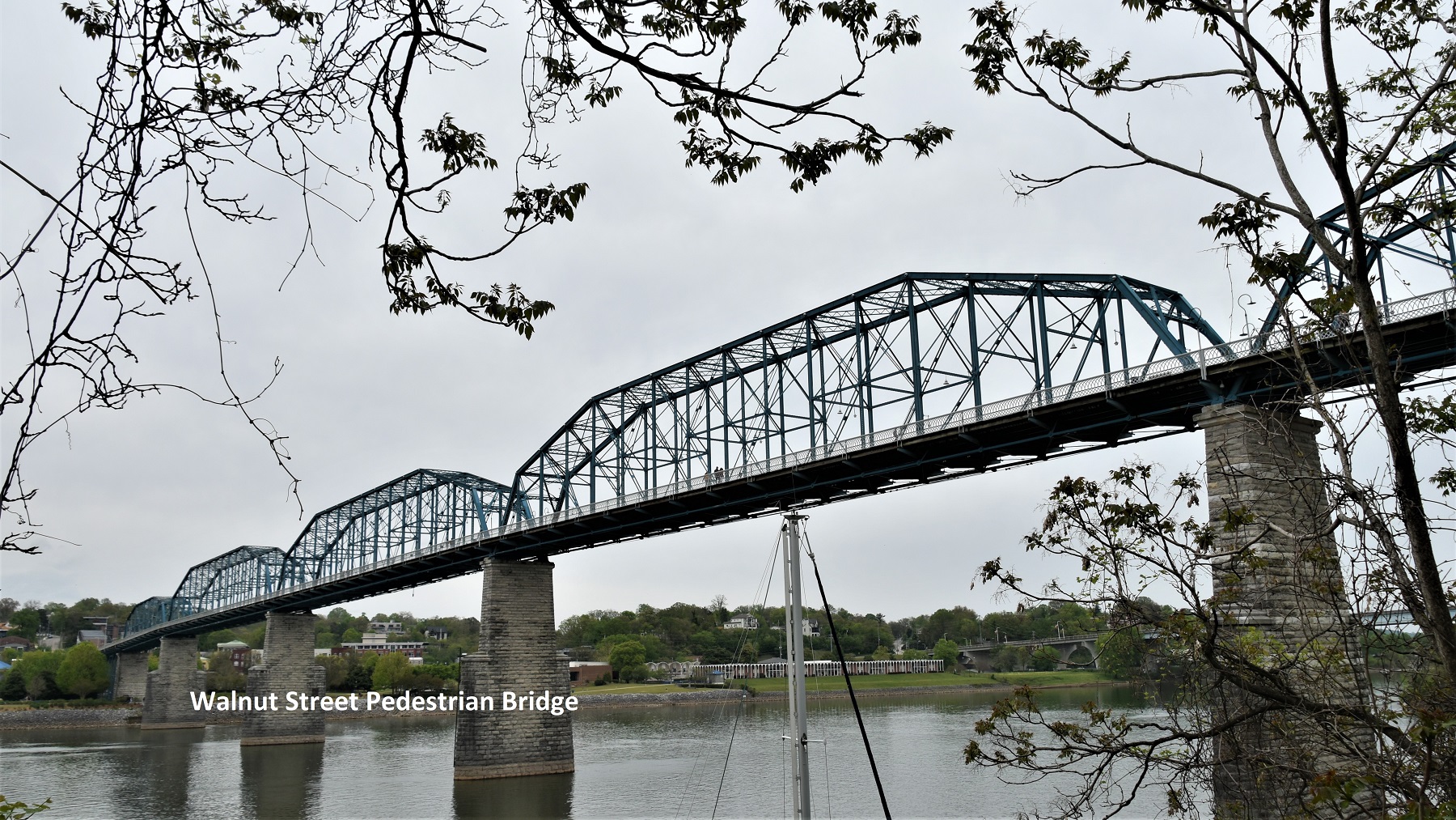
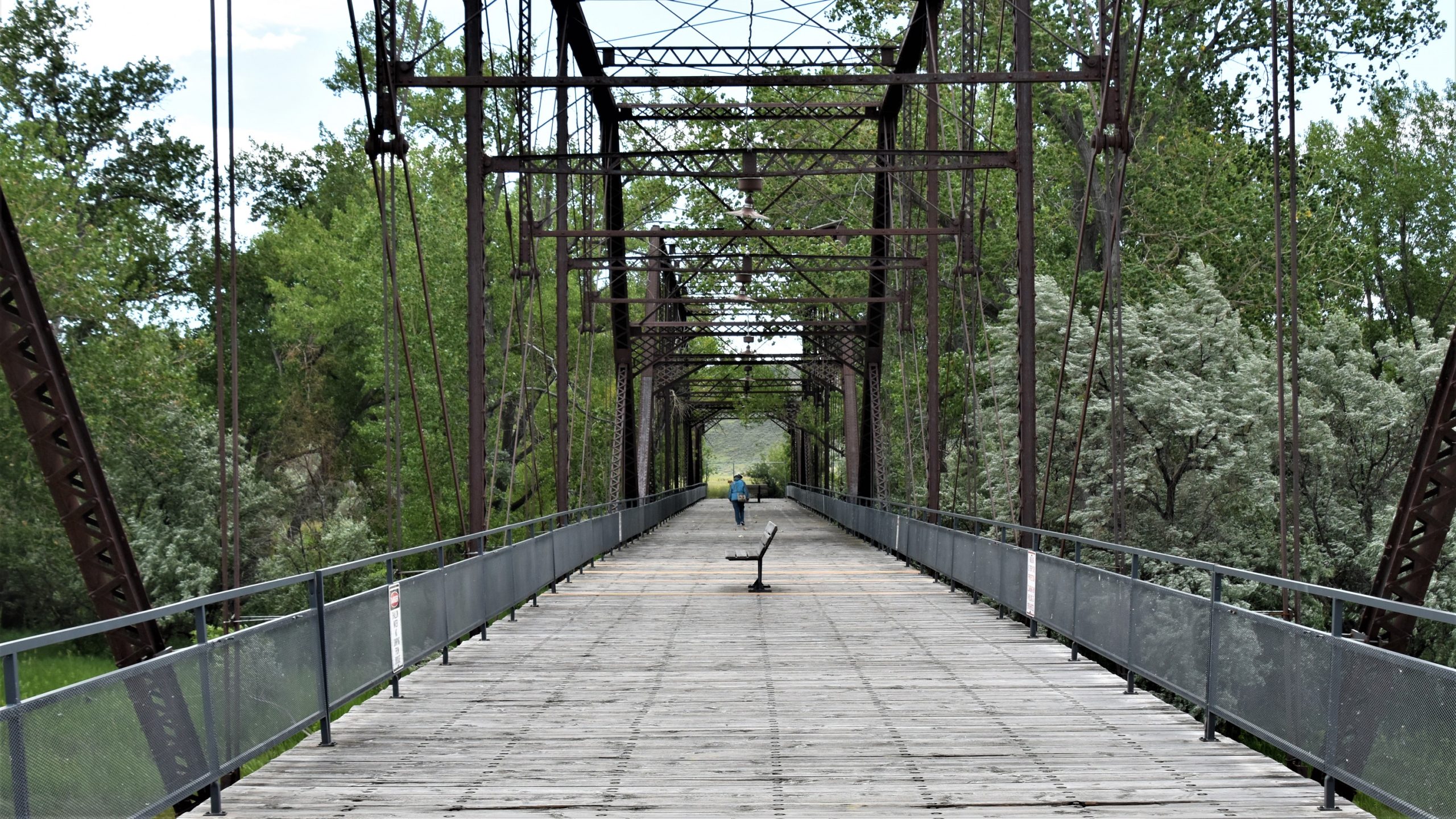
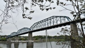 The Walnut Street bridge is a former traffic bridge that has been turned into a pedestrian trail across the river and it provides a unique view of the city.
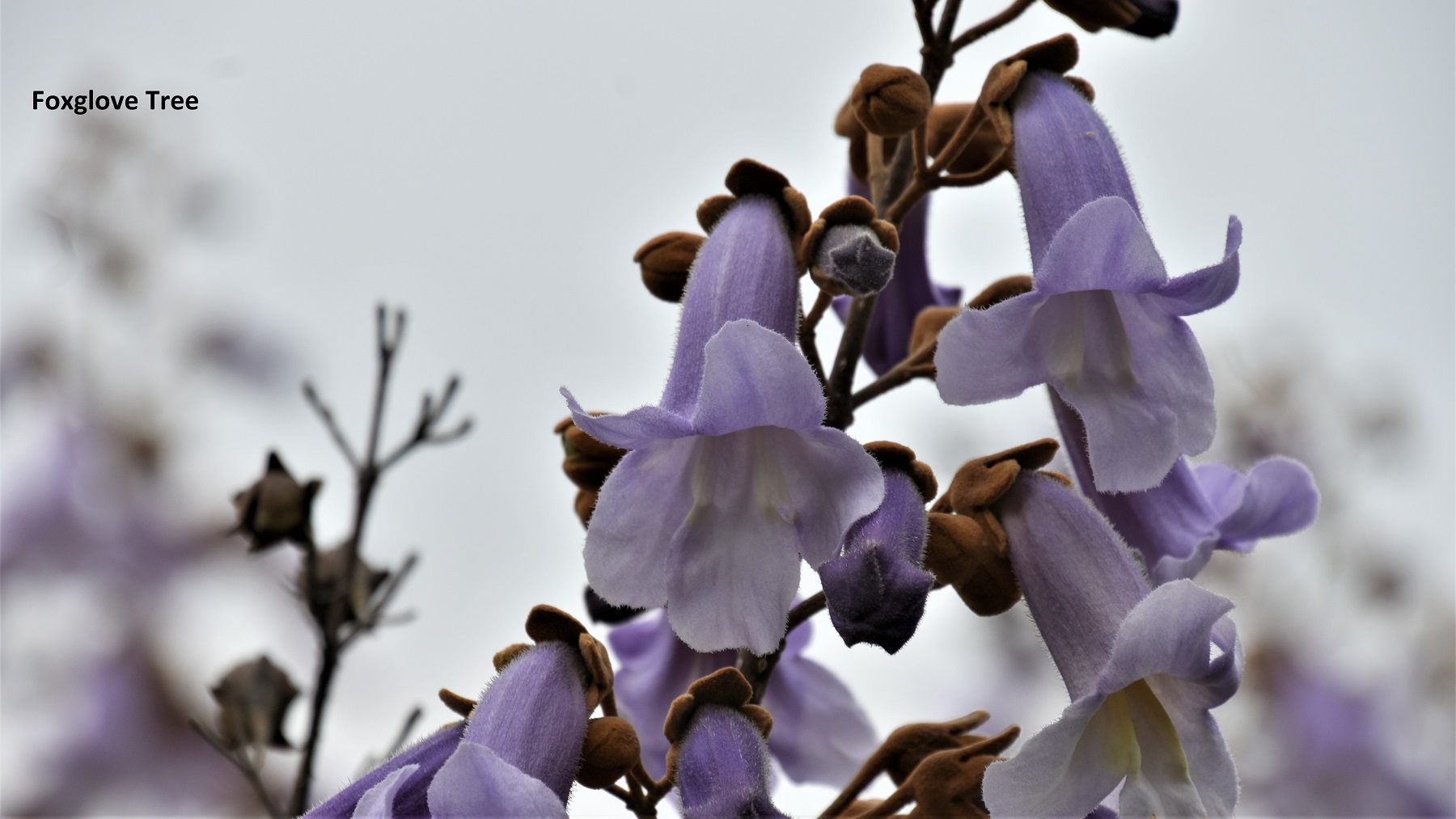
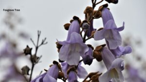
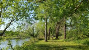
The trail along the river is planted with trees and shrubs, which were flowering while we were there. This is one of our favorites, a Foxglove Tree.
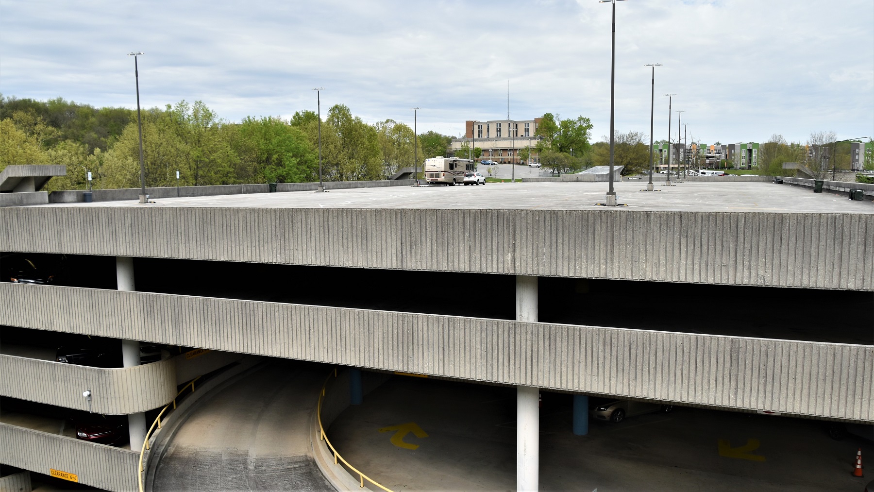
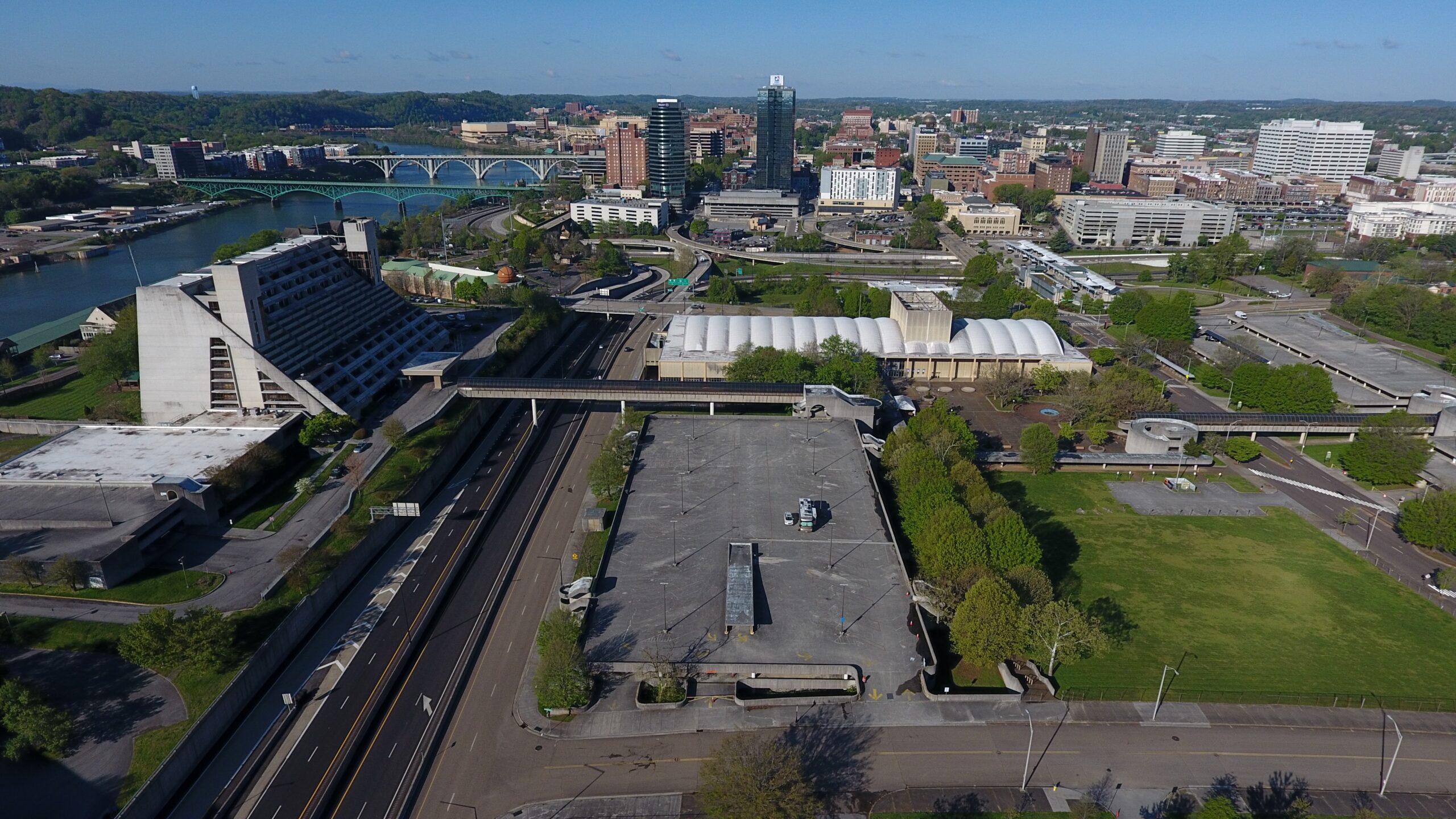
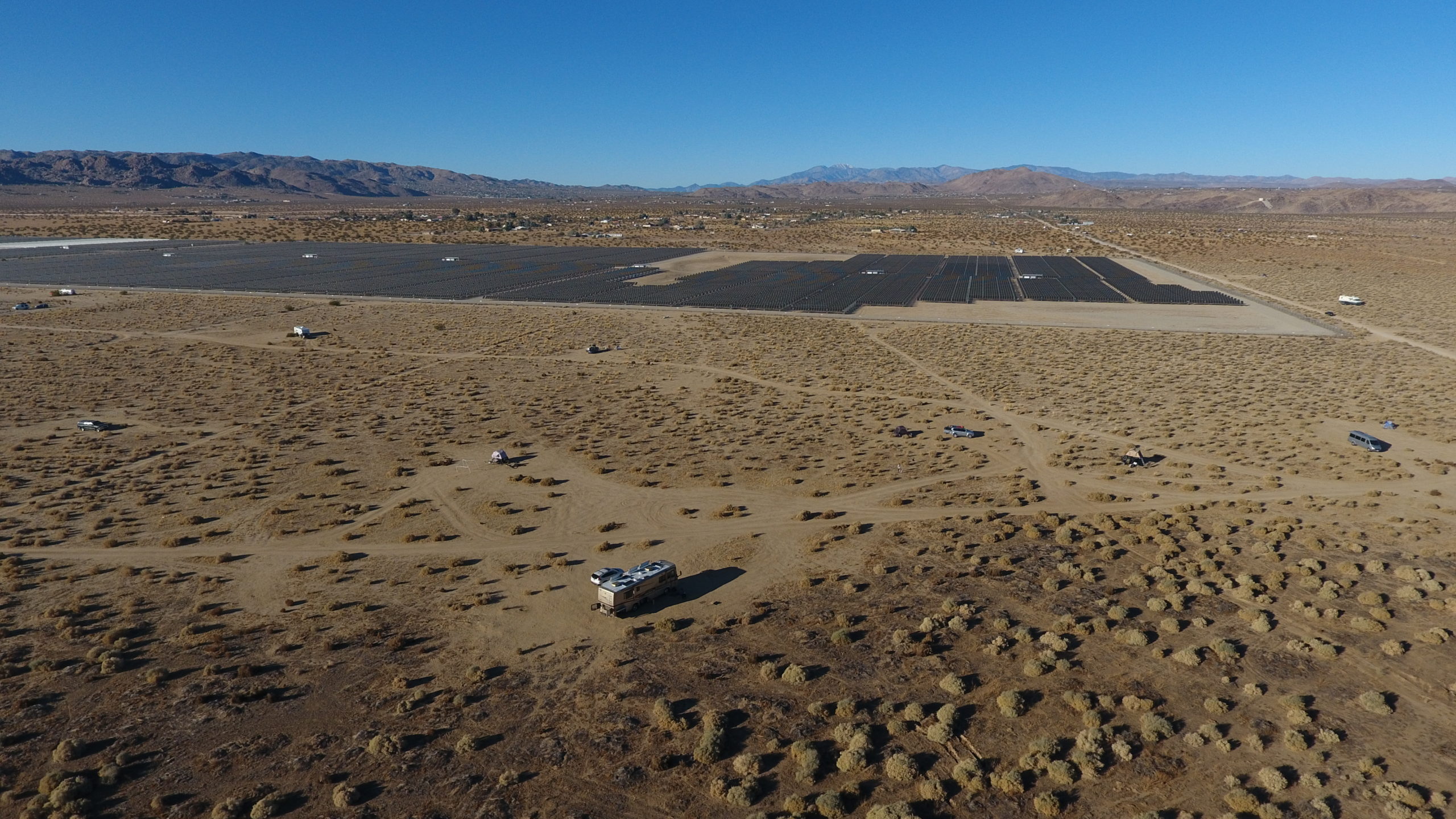
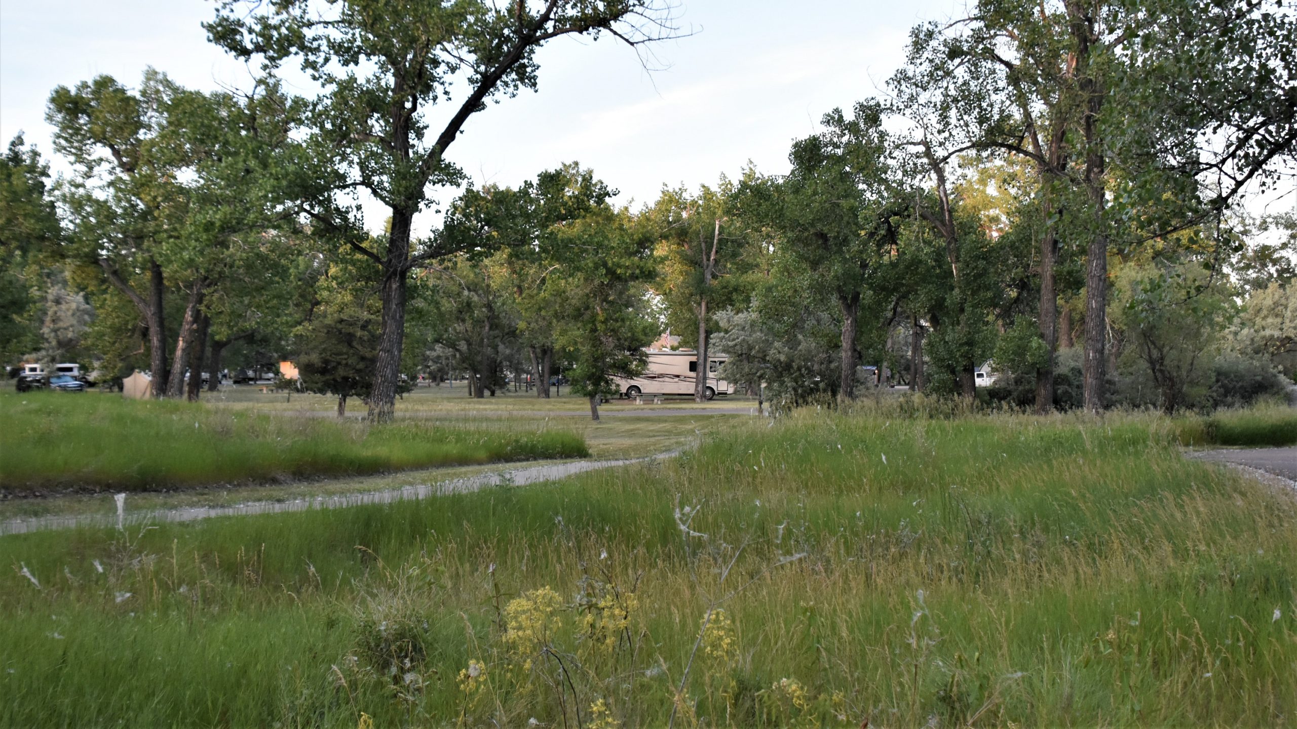
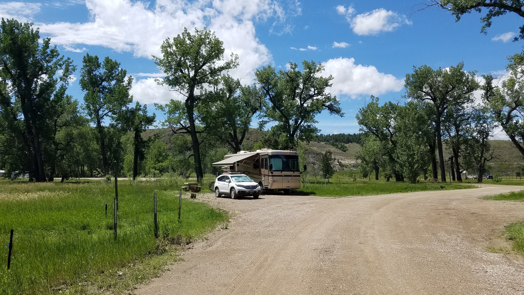
Time to head north again, to Knoxville, where our camping site was on the roof of the parking garage of a coliseum, where there were full hookups.
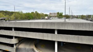 Our first time camping on a roof!
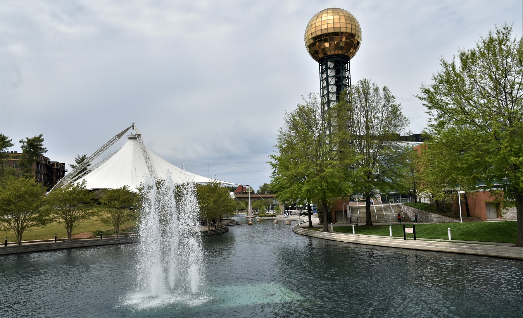
 Knoxville was the site of the 1982 World’s Fair and the town has left several of the fair’s structures in place and created a pleasant park space for people to enjoy.
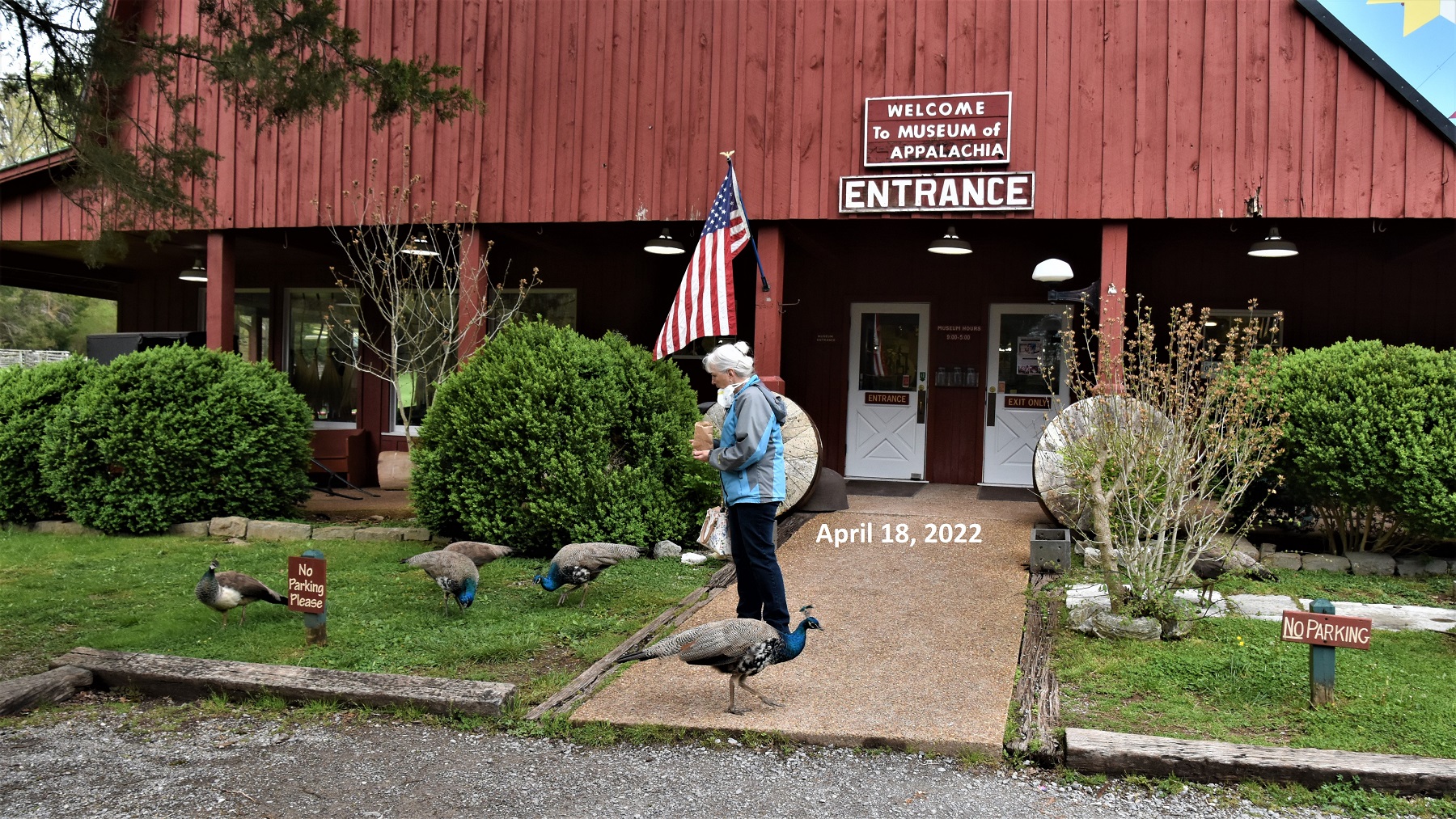
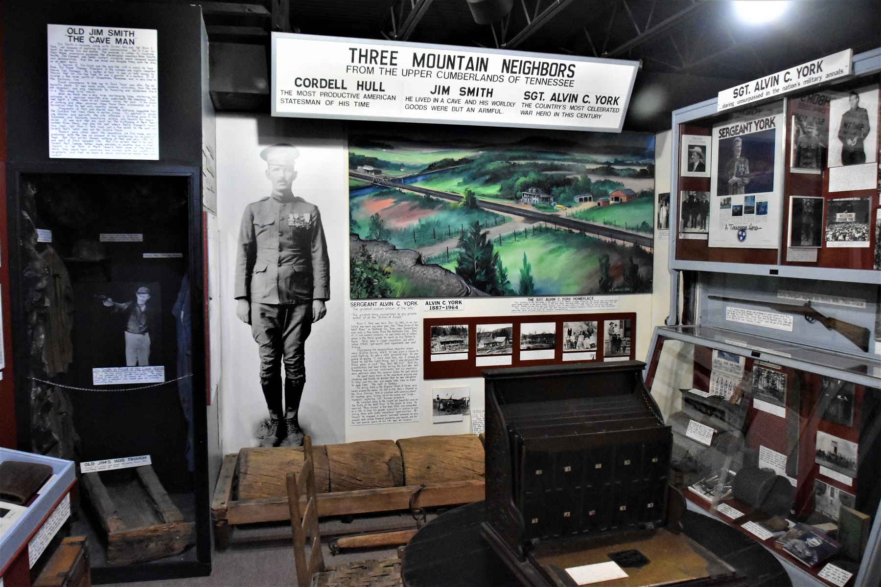
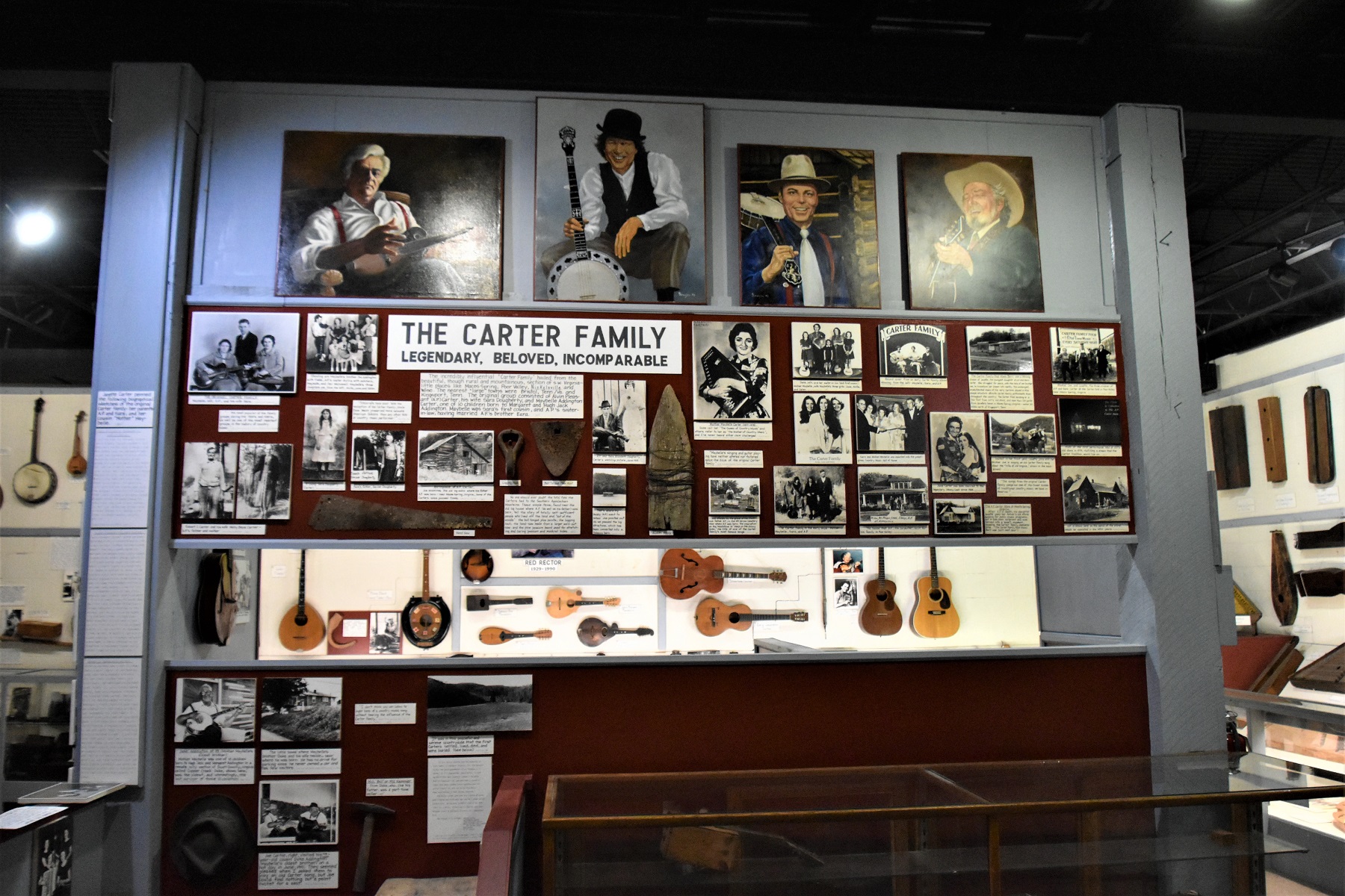
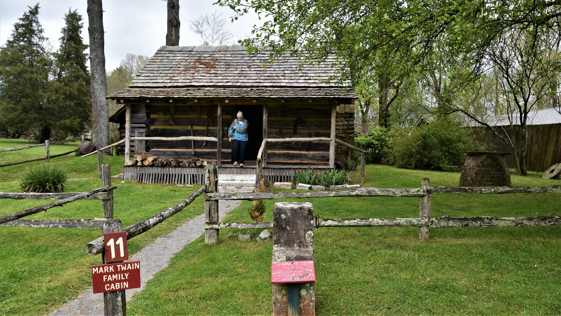
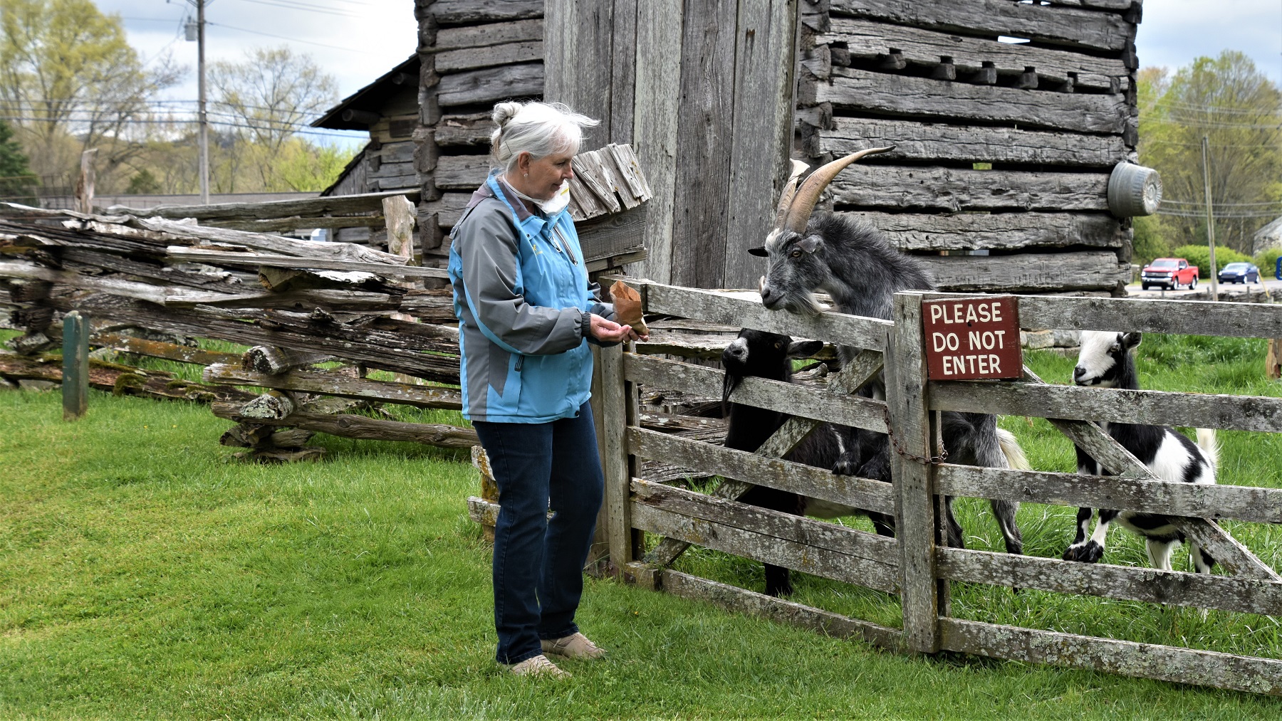
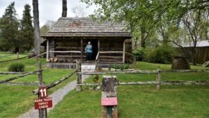
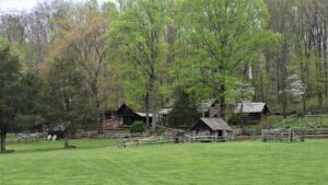
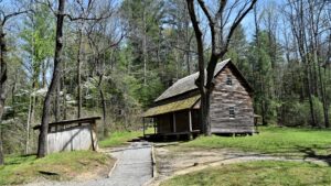
While in Knoxville, we visited one of the most amazing museums that we have been to, and we have been to a lot of museums. The Museum of Appalachia, in Clinton, TN, is a collection of artifacts, buildings, art, animals, photographs and stories of the people that live in that area. We did not realize how much there was to see there and did not give ourselves nearly enough time for our visit. In reality, one could spend several days there and still not see everything.


I also got to indulge in one of my favorite activities…feeding goats!
Up on the rooftop…Bruce was able to fly the drone and get a wonderful overview of the area where we were parked.

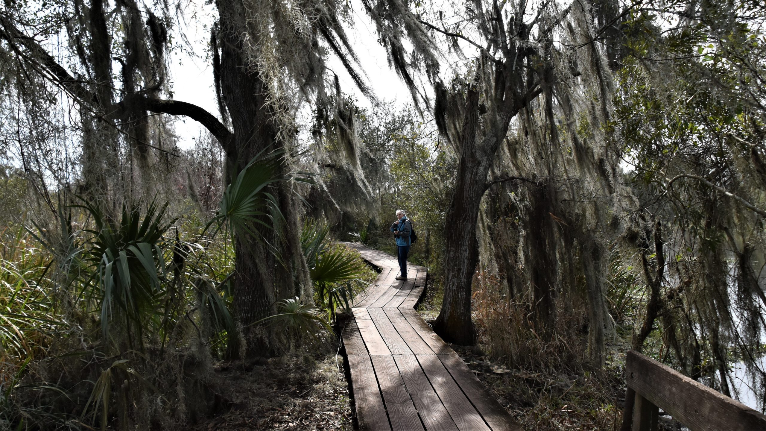
From Knoxville, we headed into the Great Smoky Mountains and Gatlinburg, which is accessed via Sevierville. It was quite a shock to find a miles long traffic jam, in the middle of the week in April, between the 2 towns. The area is one long tourist attraction and I cannot imagine what it is like in July! So, we joined the other tourists and checked out some of the attractions.
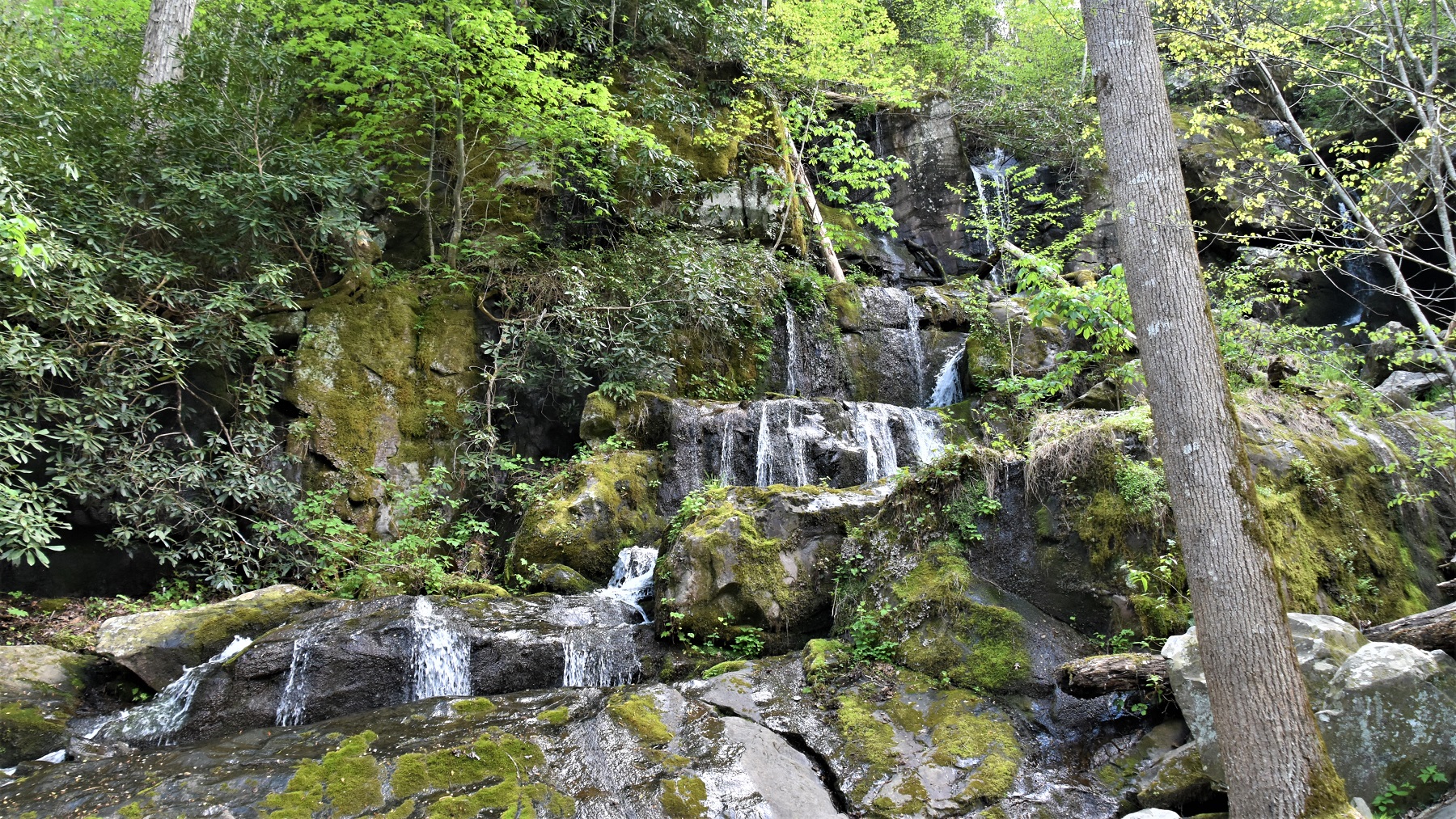
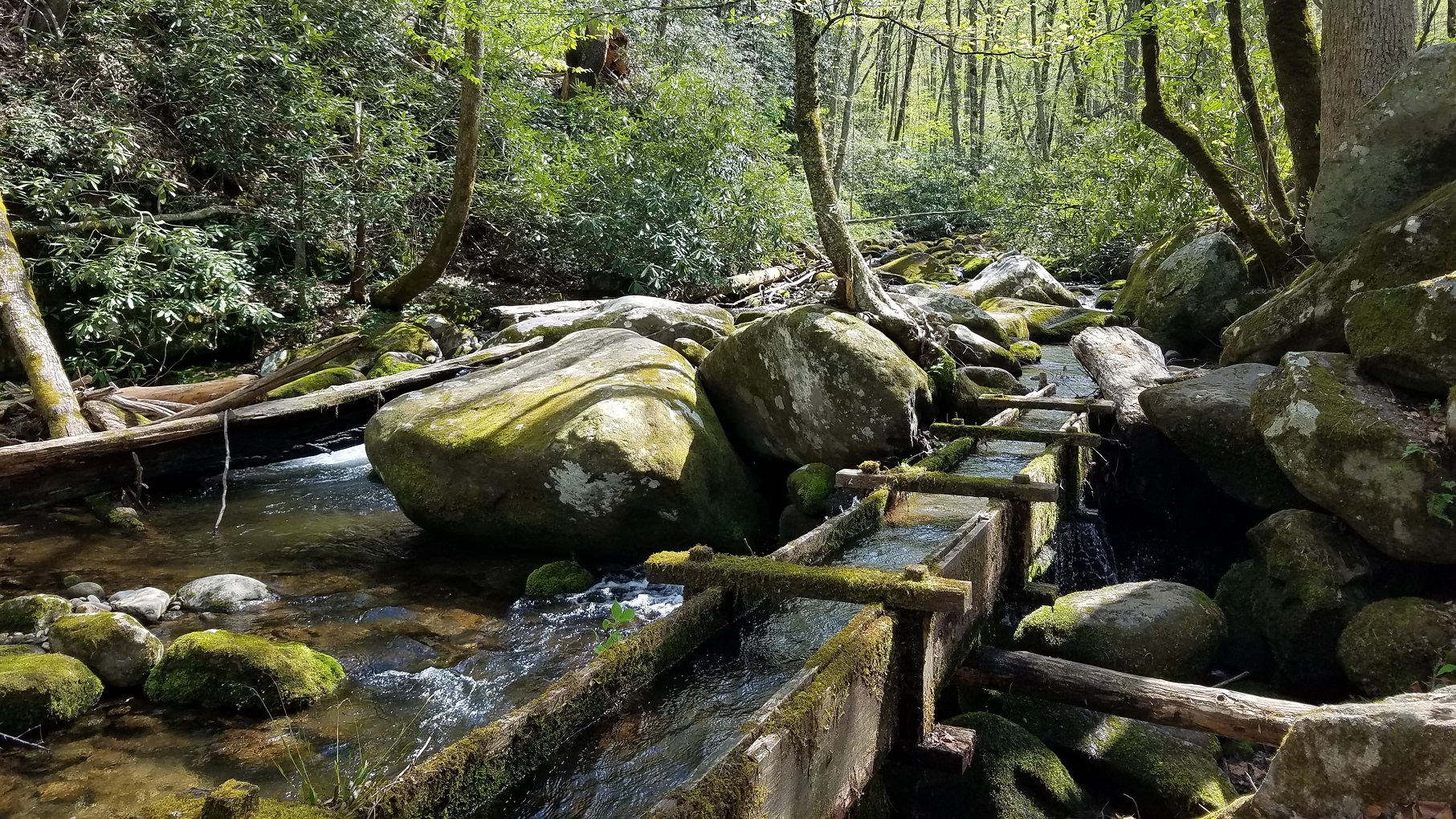
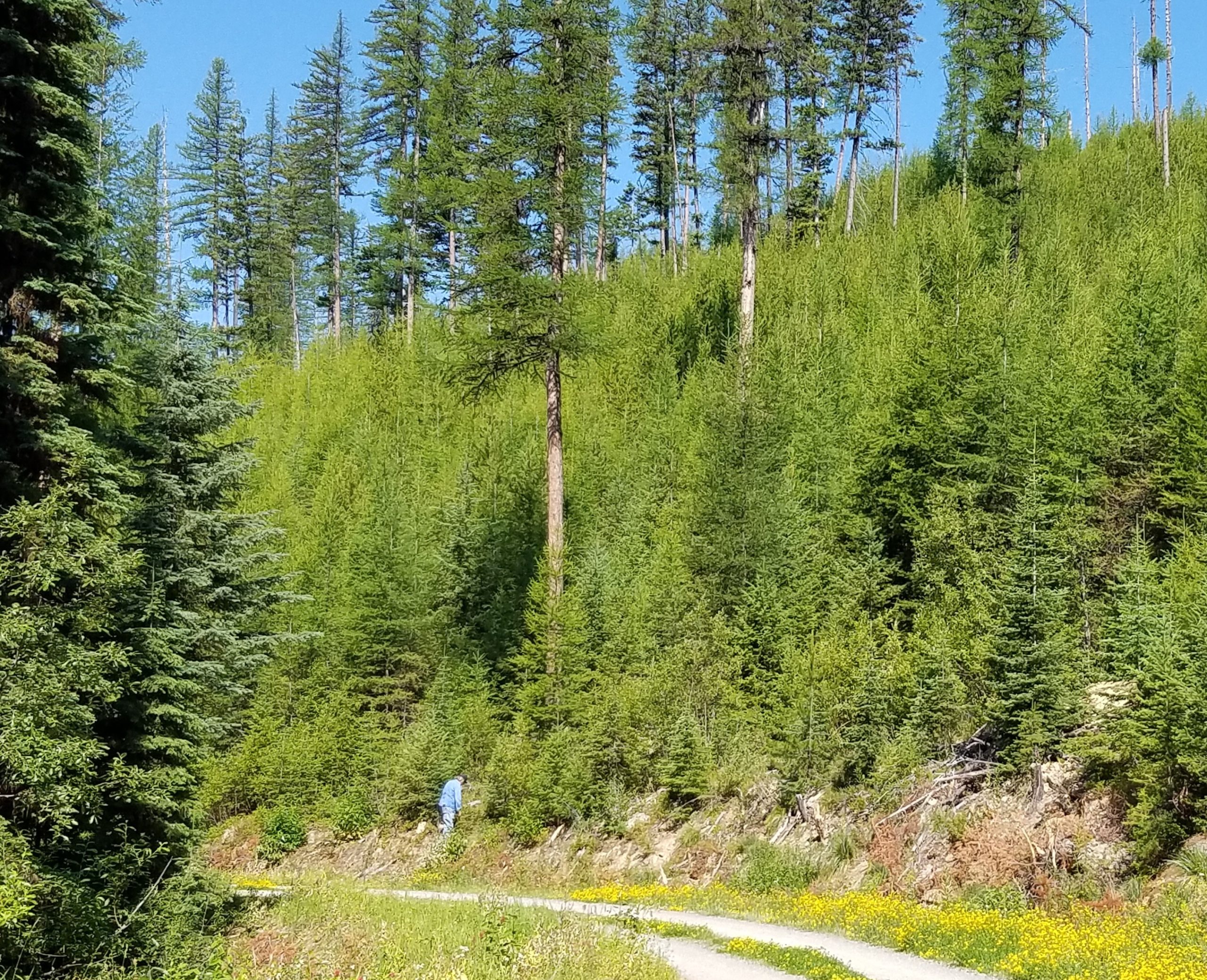
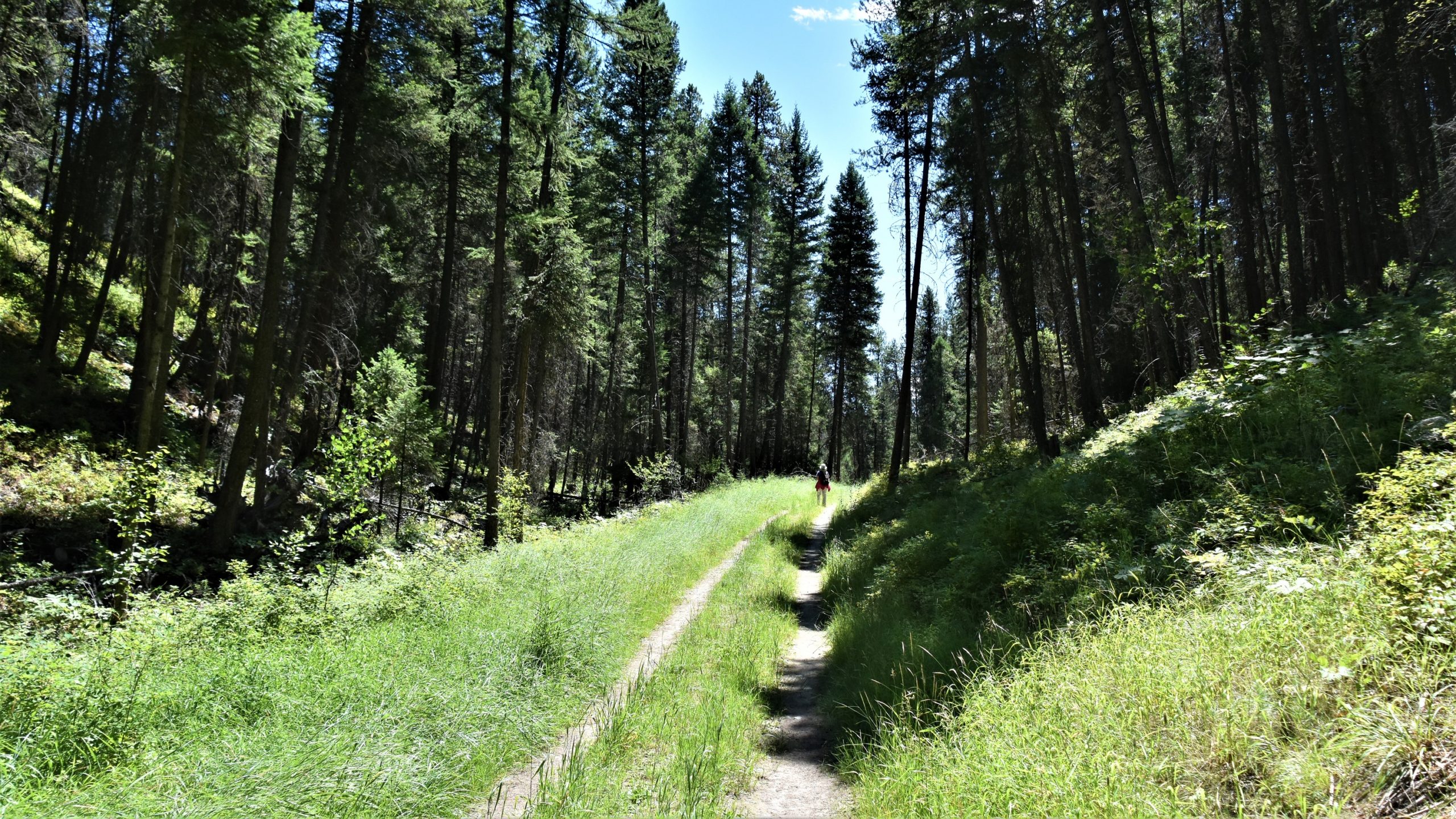
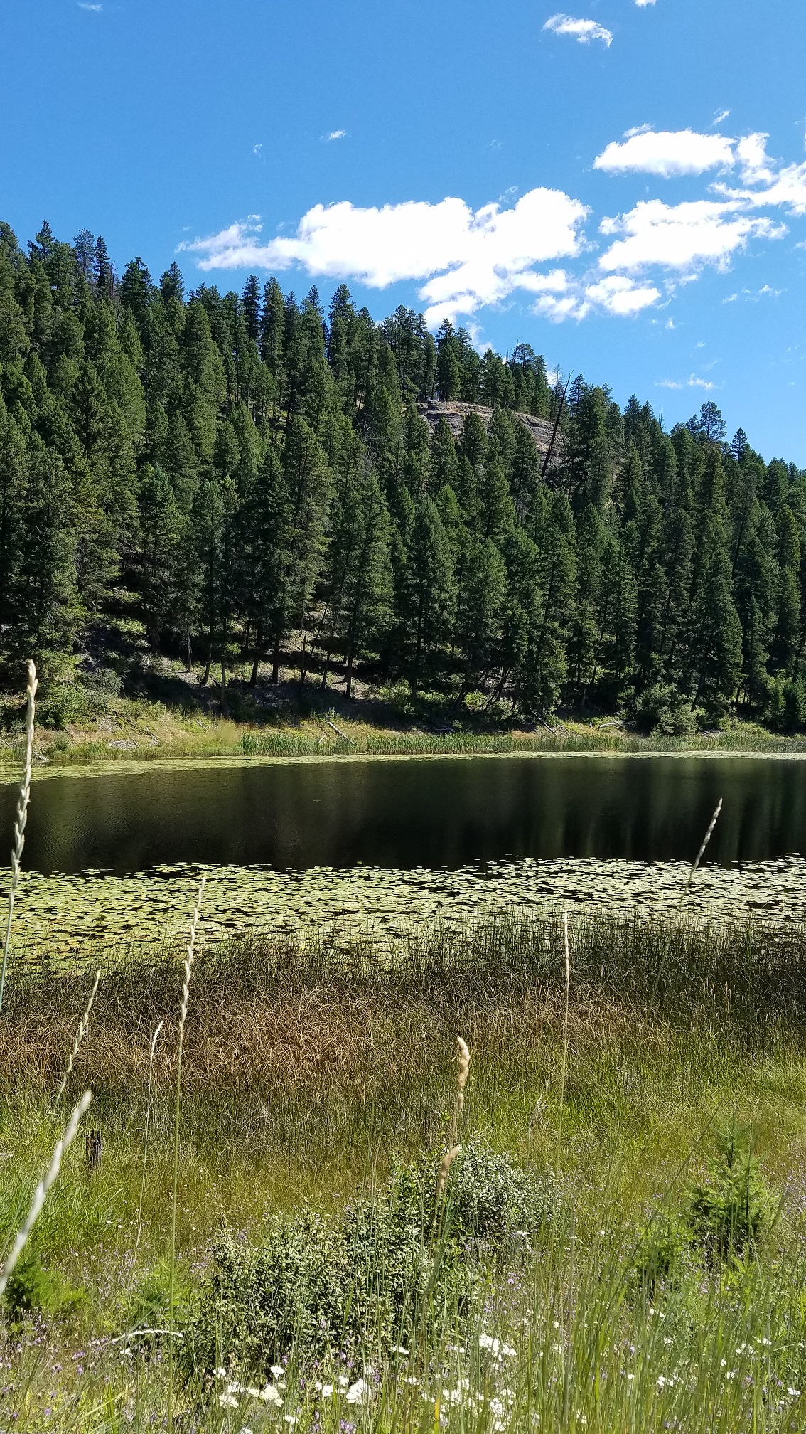
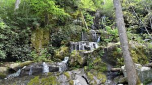
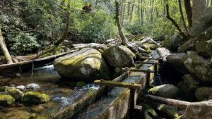
Great Smoky Mountains National Park is the most visited park in the United States and we visited on a couple different days. We took some easy trails to waterfalls and drove one of the roads past old homesteads on our first day.
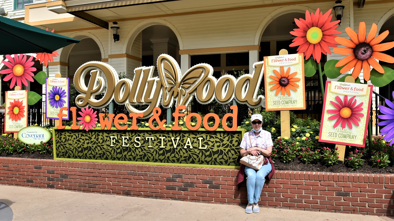
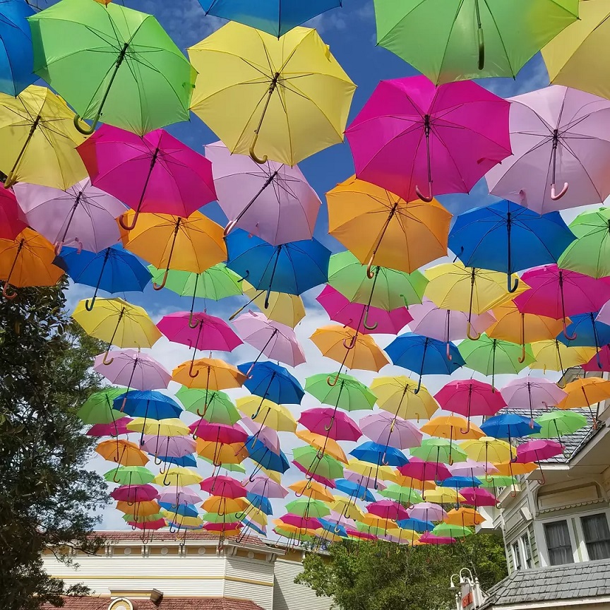
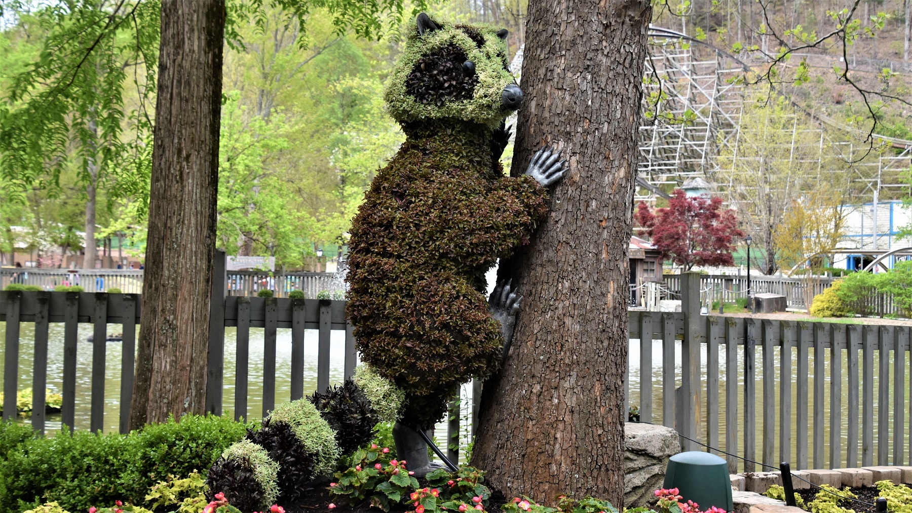
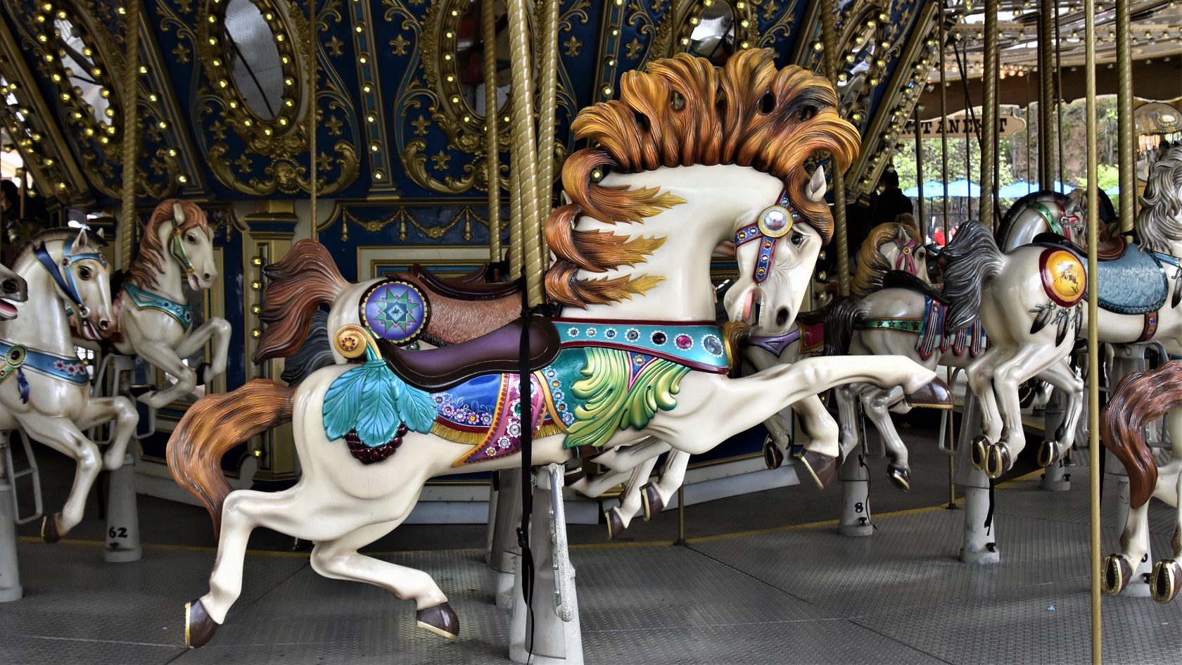
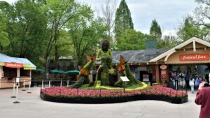
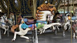
 We decided (actually Gail decided) that we had to check out Dollywood, ‘as long as we were in the area’.

Dollywood is known for the floral displays, but the spring had been unusually cold and wet and the flowers were just beginning to show their full potential.

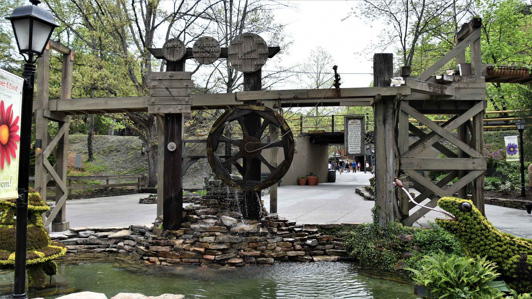
This frog 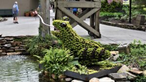 was right beside the Harvey water clock!
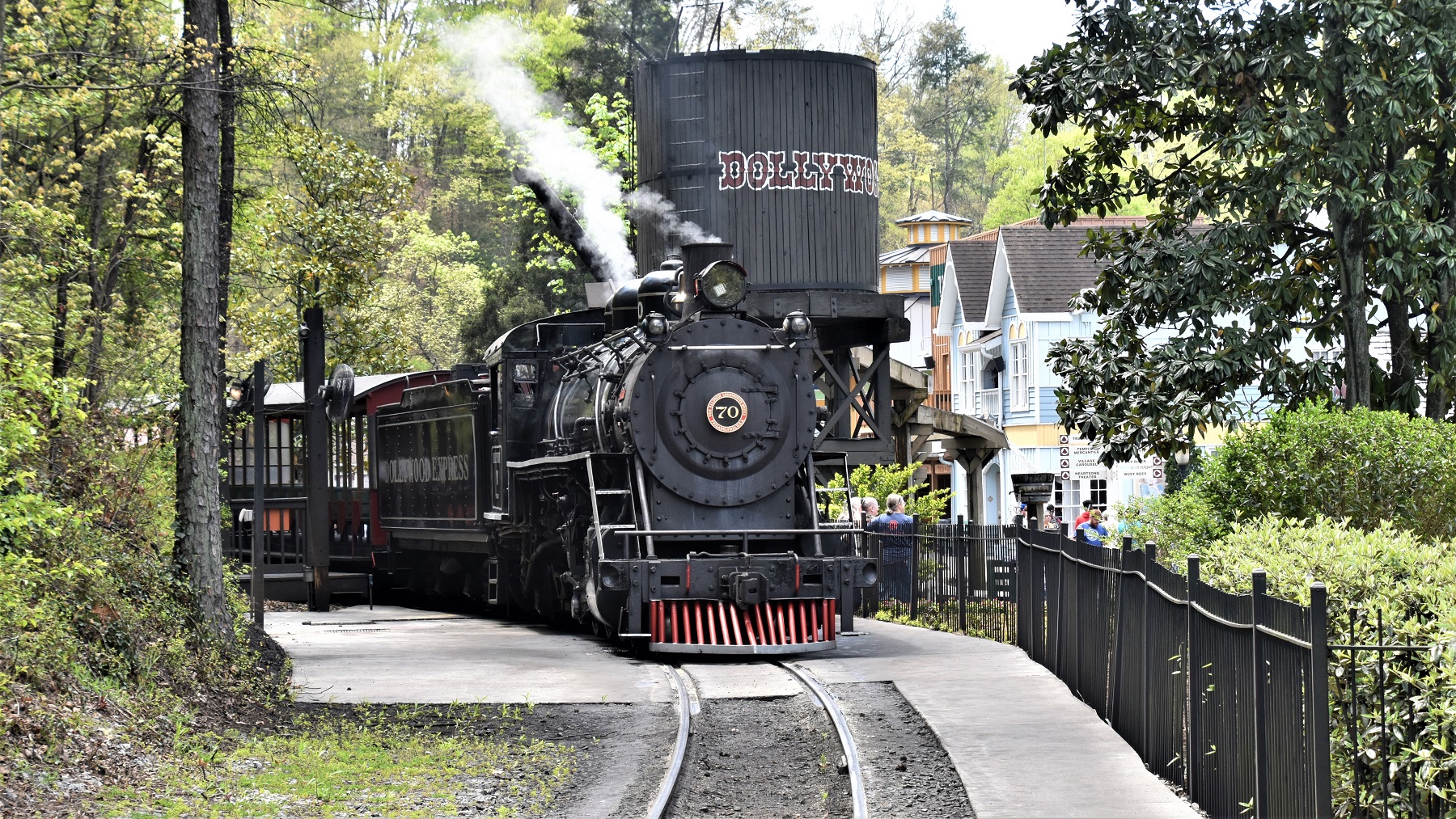
 We rode the train, visited the shops, ate some food, walked through Dolly’s motor home (done in pink inside) and caught one of the musical acts.
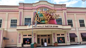
At the end of the day, we both decided this was a place for kids more than ‘mature’ adults.
Pigeon Forge is home to many, many tourist attractions and we decided to visit a couple of the ones that sounded interesting.
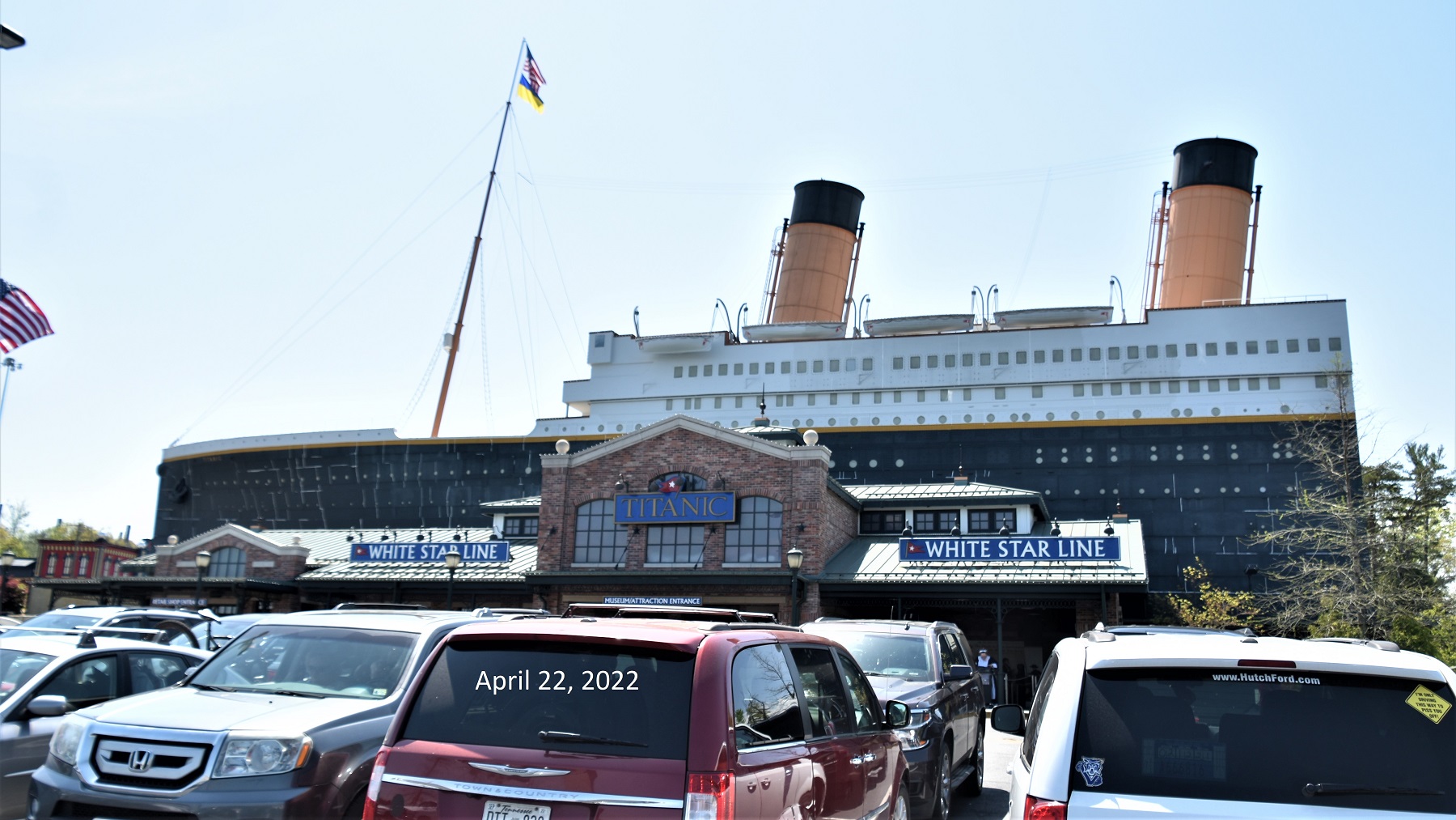
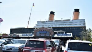 The Titanic Museum is a half scale replica of the original ship.
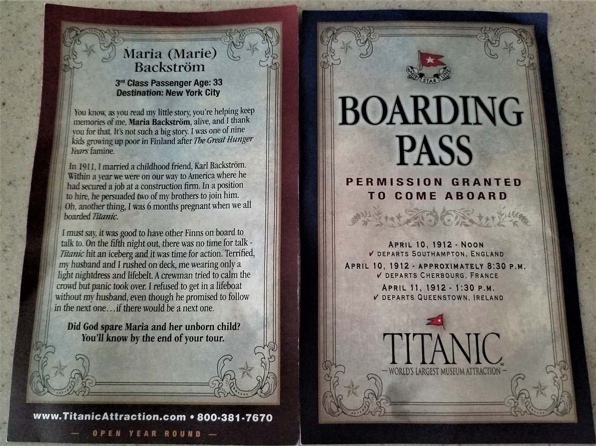
Upon entry, you are given a boarding pass with the name and background of an actual passenger that was on the ship.

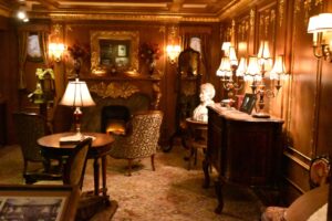 The path through the ship allows you to see the living quarters for each class of passenger. You also get to stick your hand in water that is the temperature of the ocean when the ship sank…and it is quite cold and unpleasant. At the end of the tour you can review the actual passenger list and learn the fate of the person on your boarding pass.
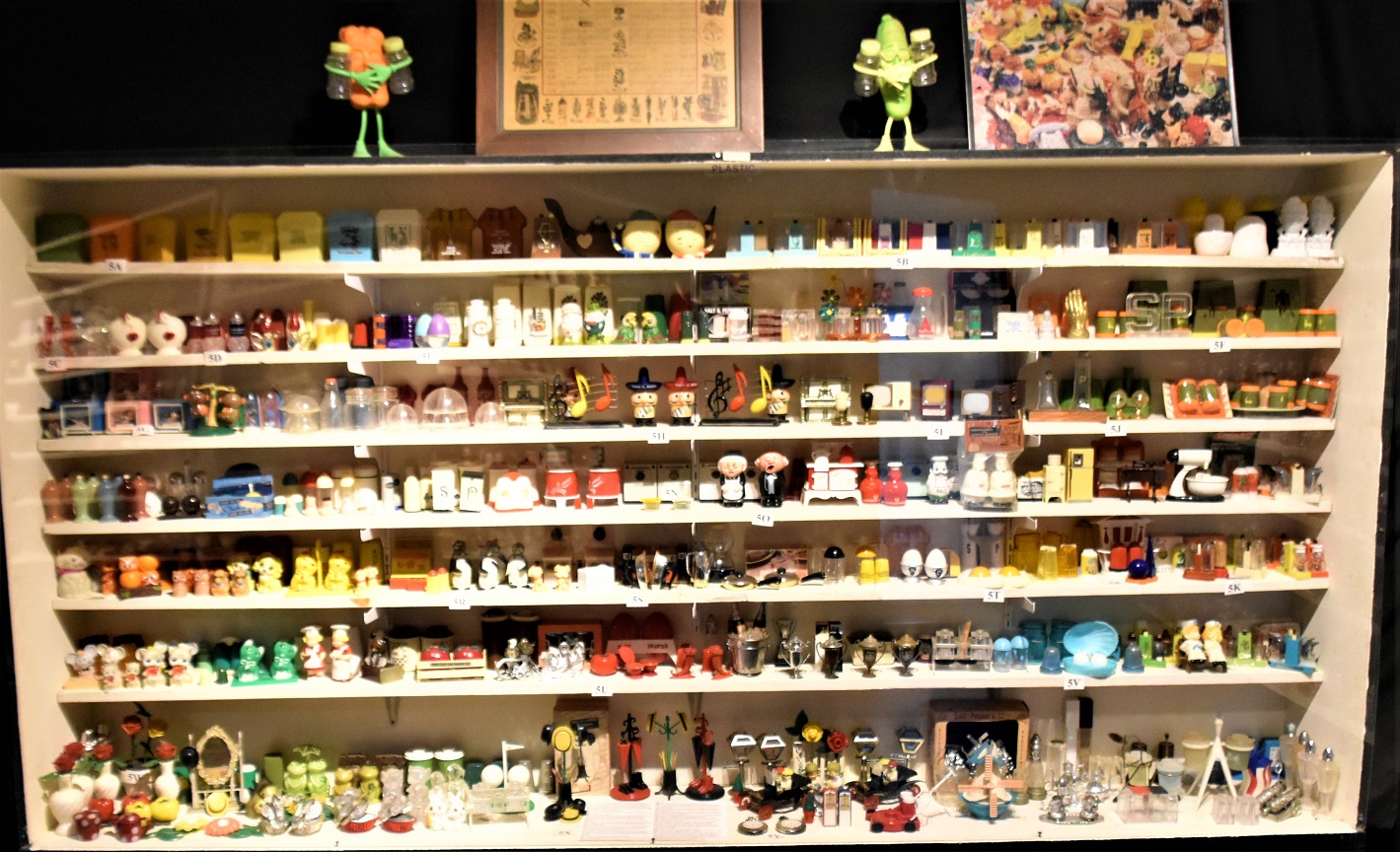
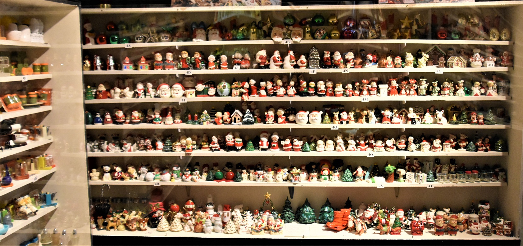
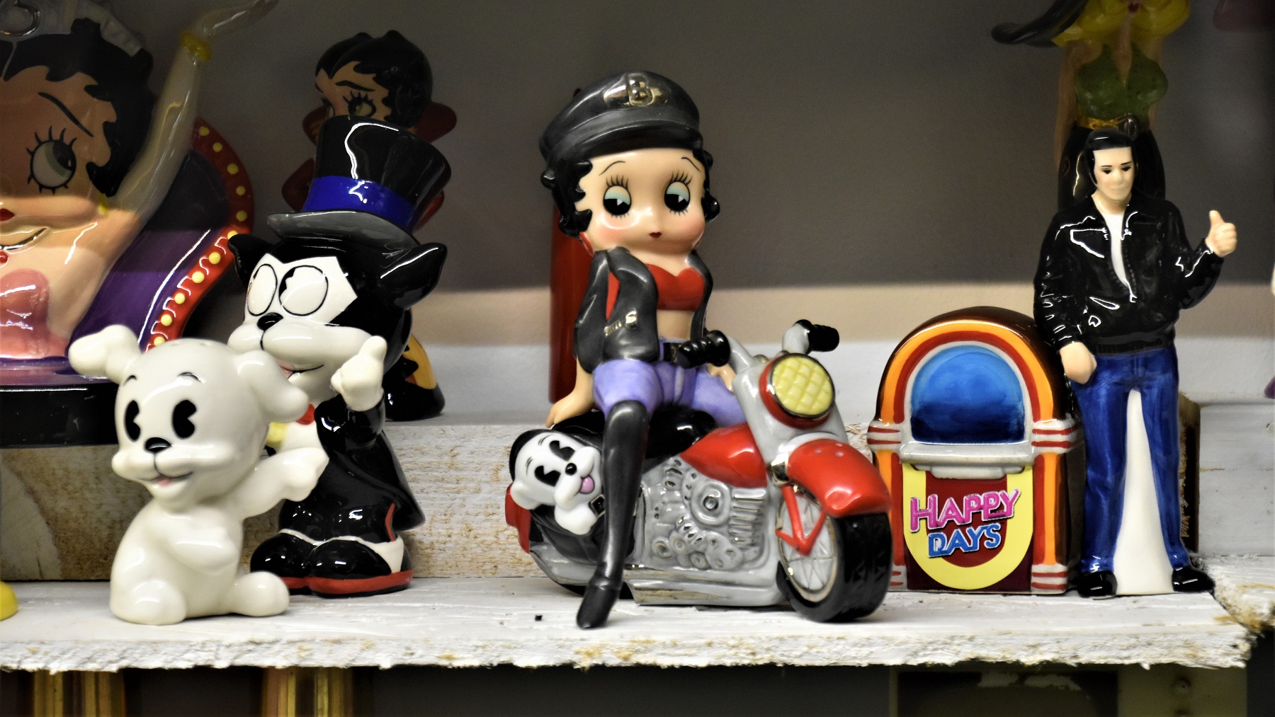
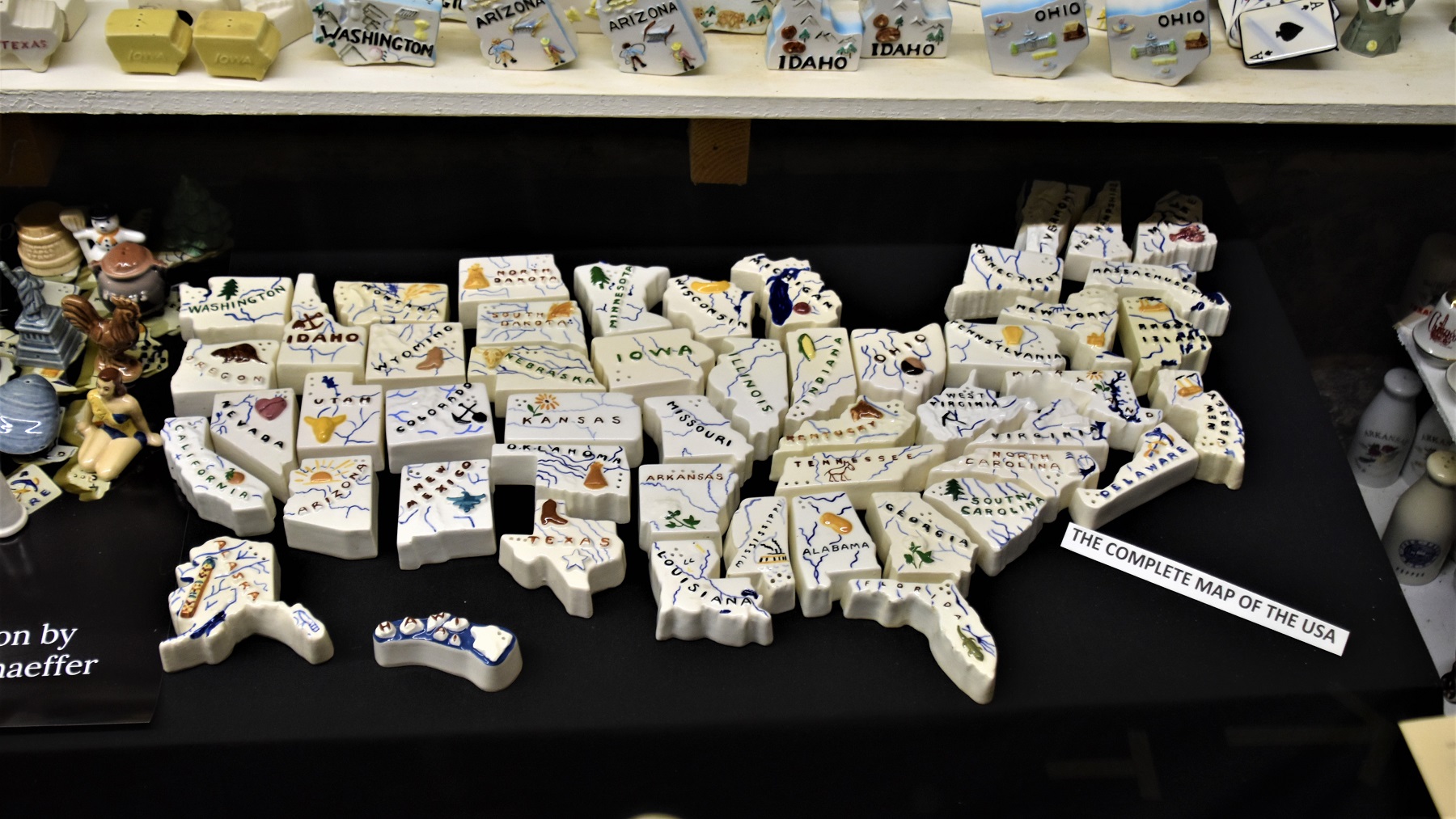
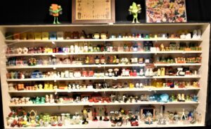
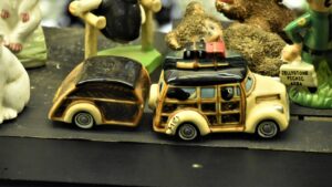
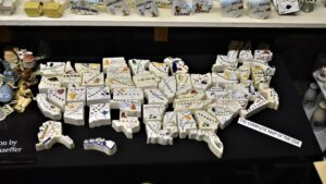
The Salt and Pepper Shaker Museum is, like so many collections we have seen, one person’s hobby that got out of control and ended up on public display.
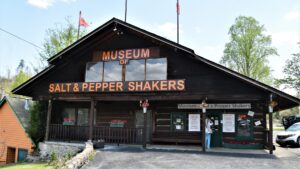 That collection was very impressive, shakers were grouped by type – and there were rooms of shakers and types.


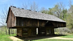
We spent one more day driving through Great Smoky Mountains National Park, enjoying the spring colors brightening the hills and marveling at the rustic 2 room cabins that once housed families of up to 18 (!) children.
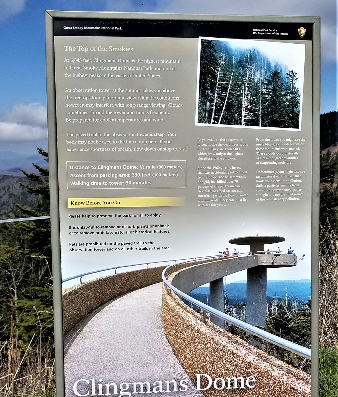
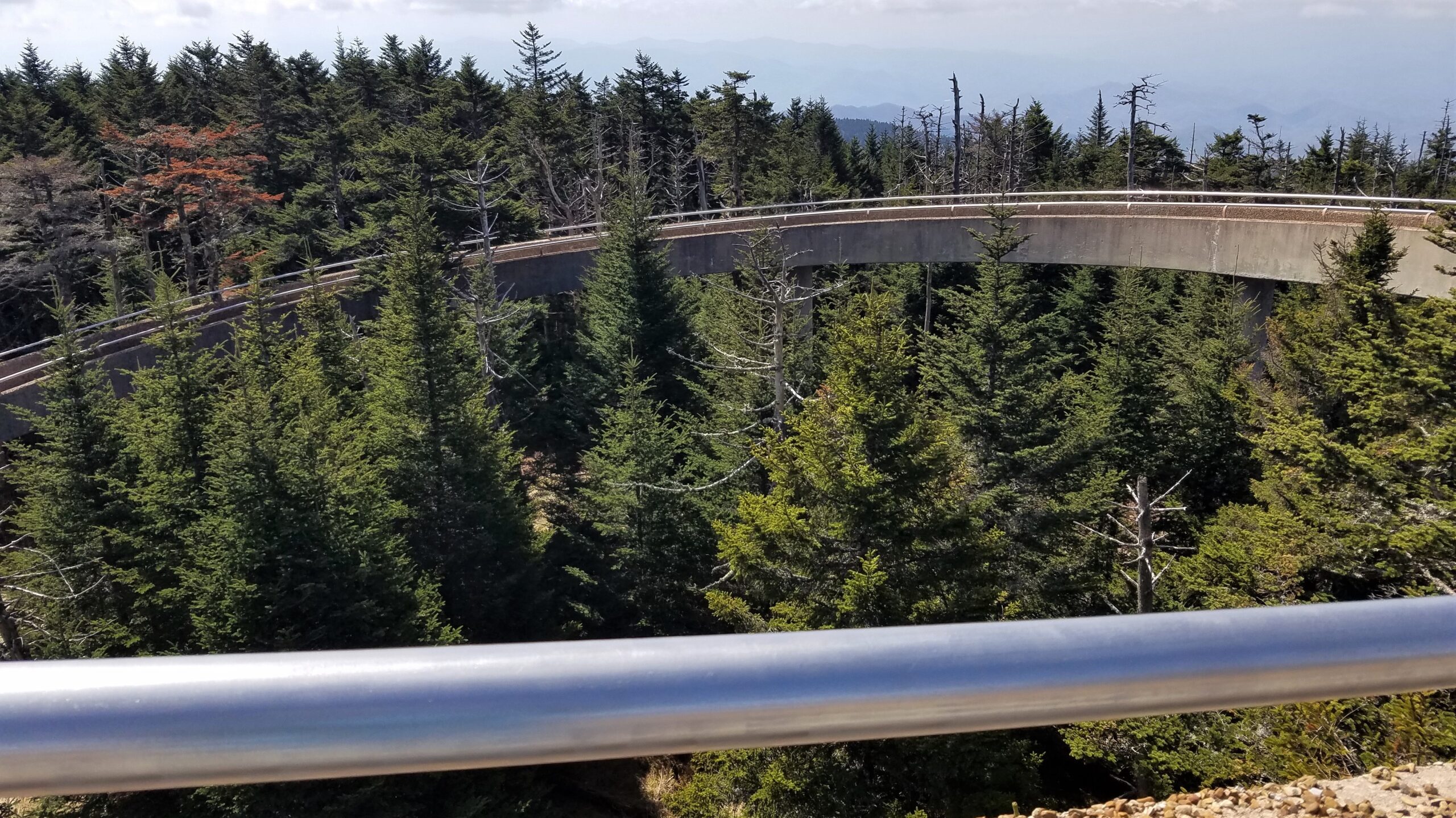
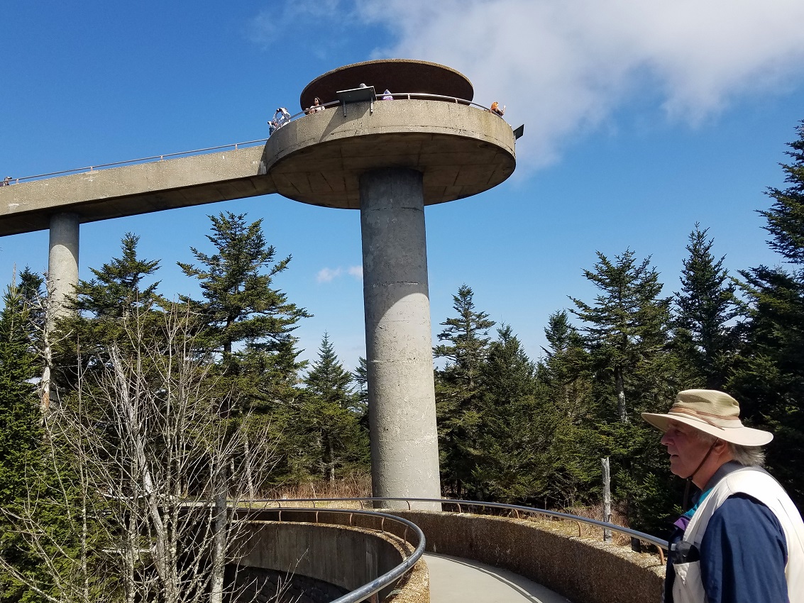
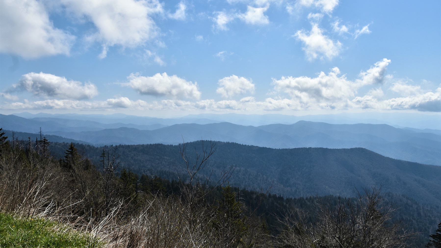
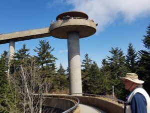
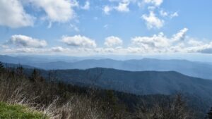
 Clingman’s Dome is the most popular spot in the park because of the views it affords.
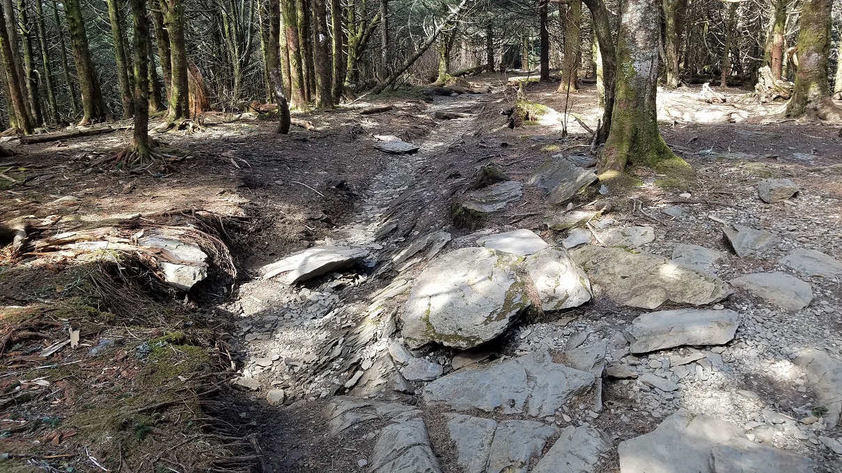
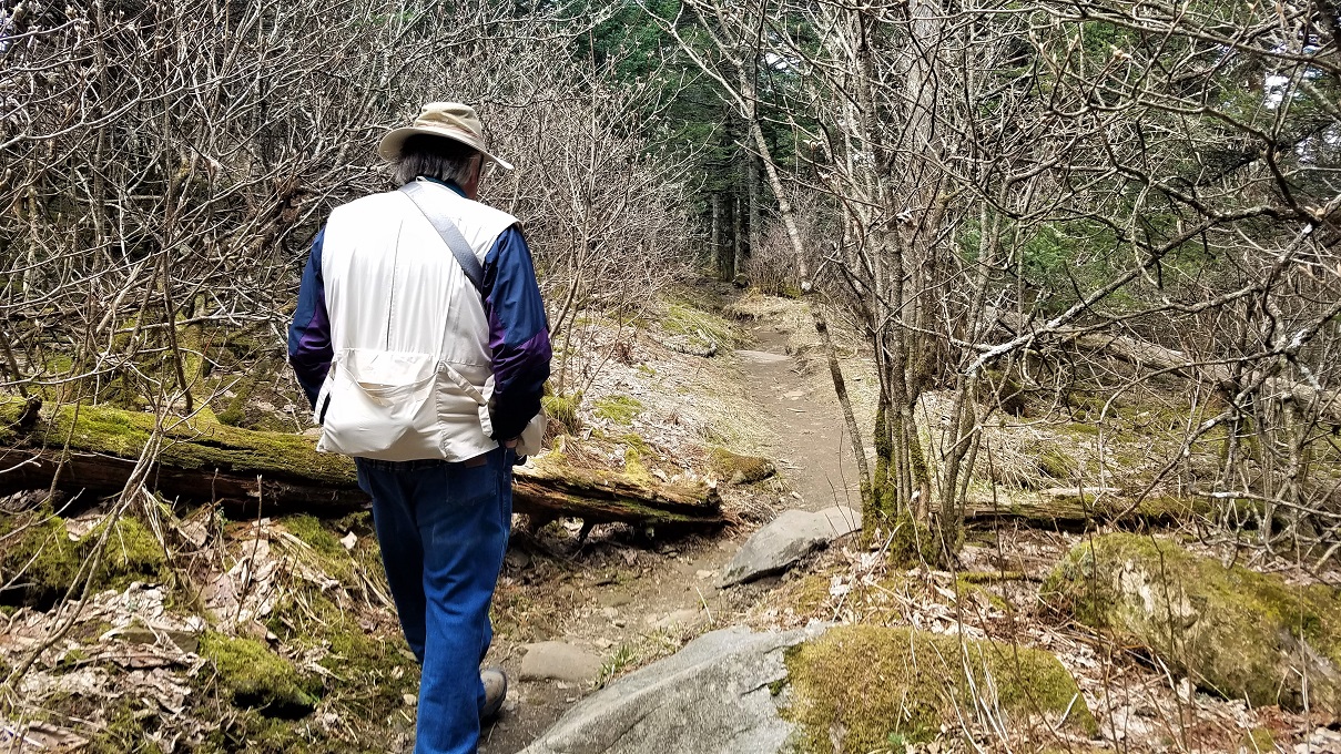
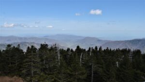
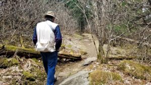
Accessing the dome requires walking up a 1/2 mile long, paved and very steep trail to the top of the dome and then walking up an elevated walkway to a viewing tower that affords a 360 view of the park.

The Appalachian Trail crosses the top of the dome, just below the trail to the dome, so we took the opportunity to walk on it as we headed back down from the top. The trail is very rugged, from what we could see of the small section we traversed, but now we can say that we walked on the Appalachian Trail.

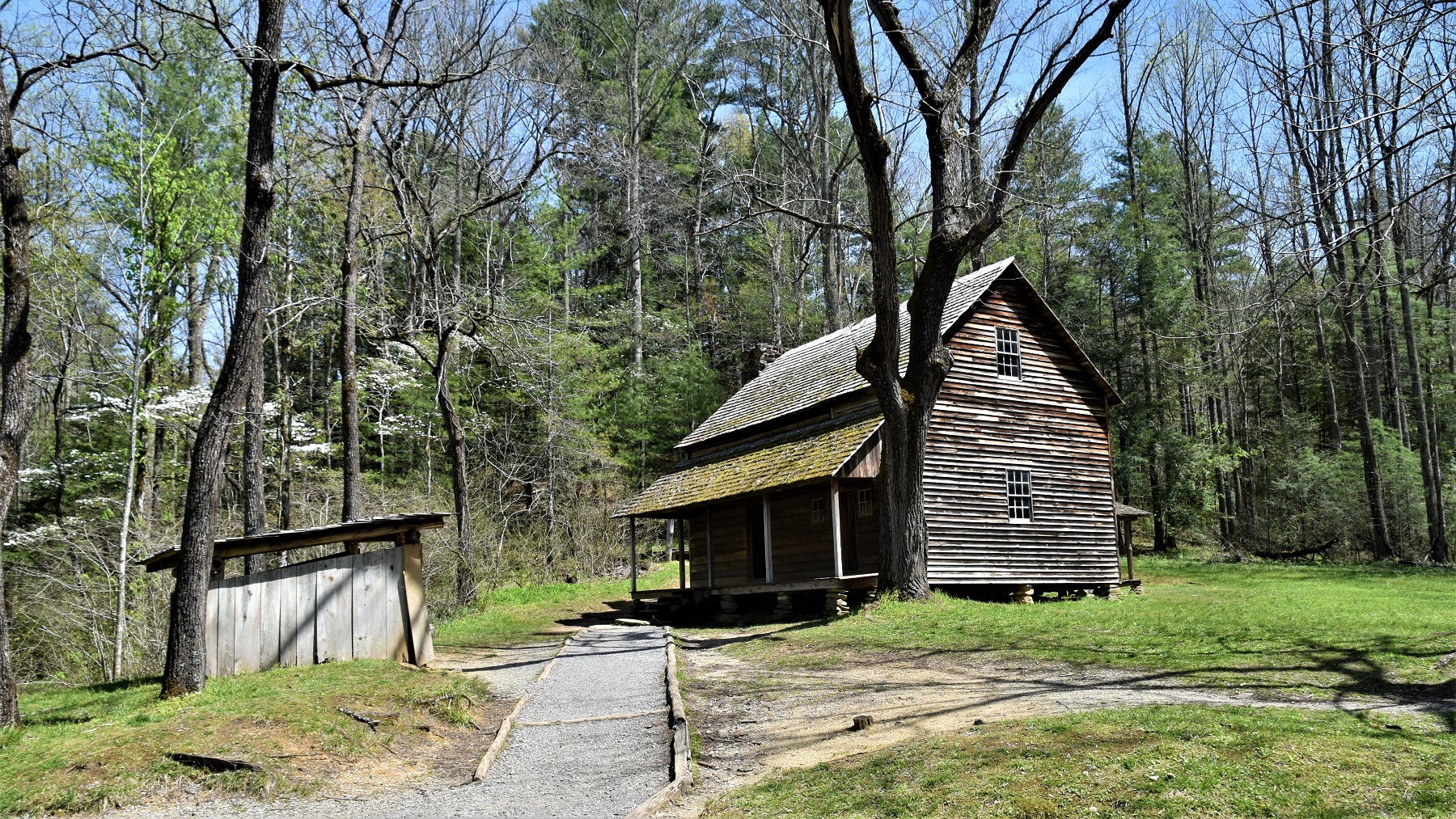
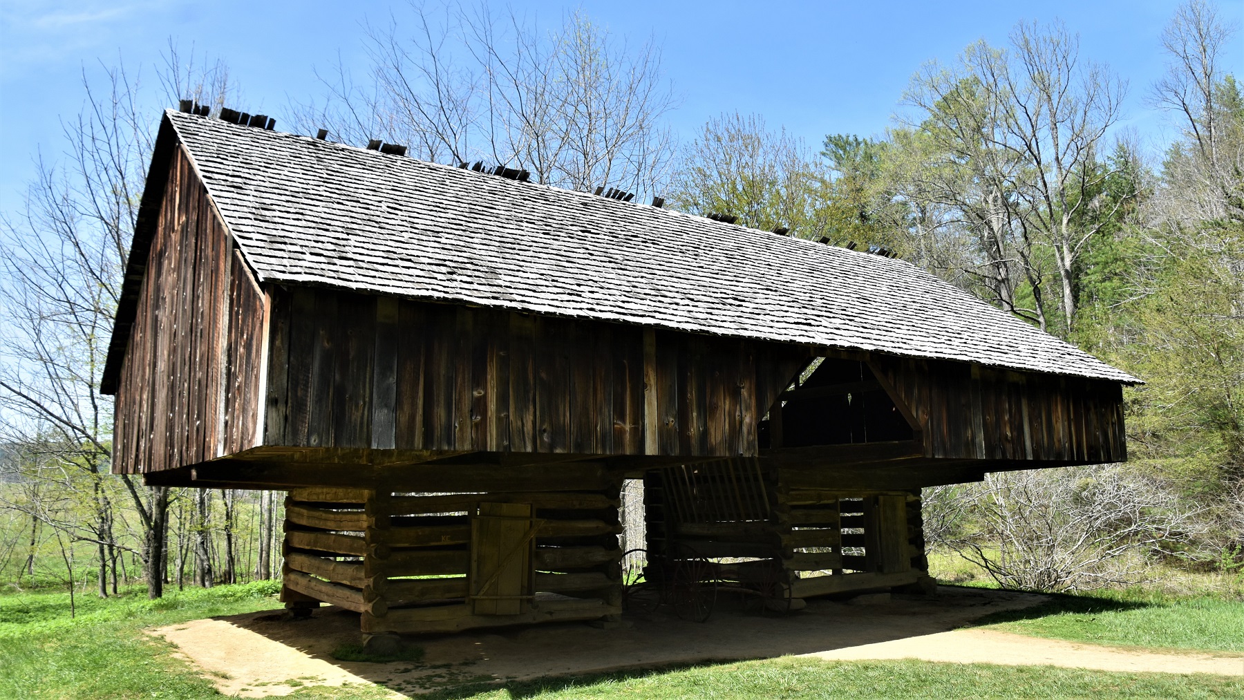
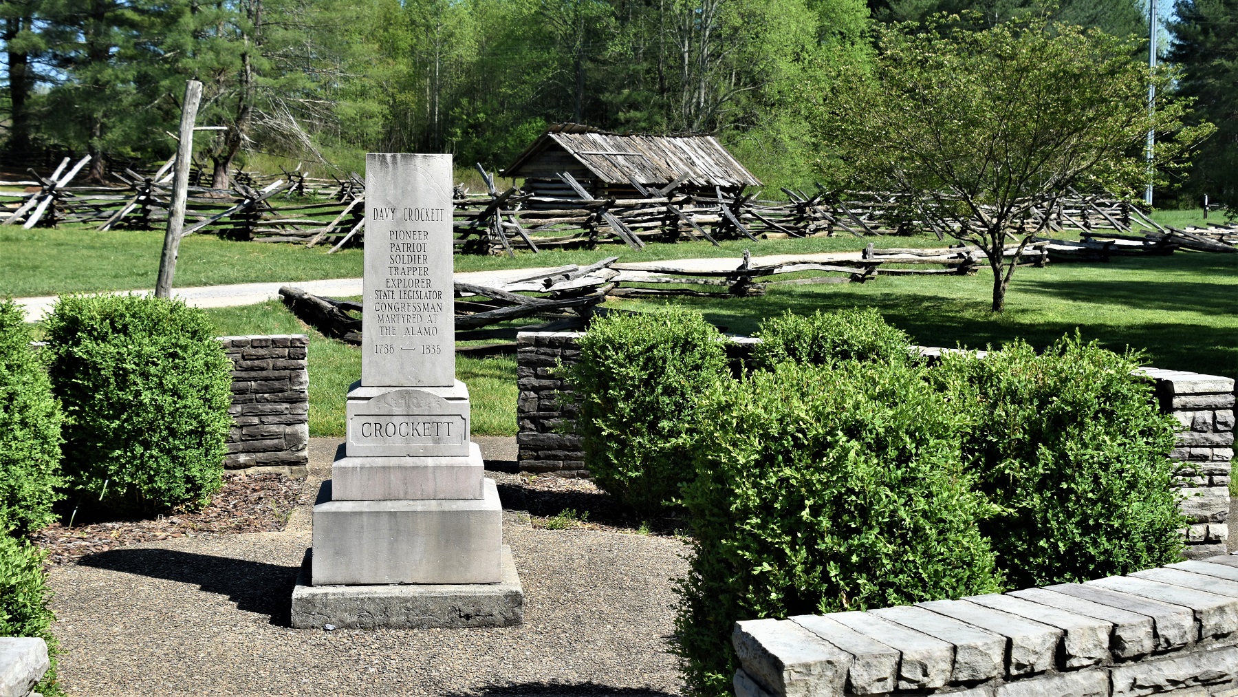
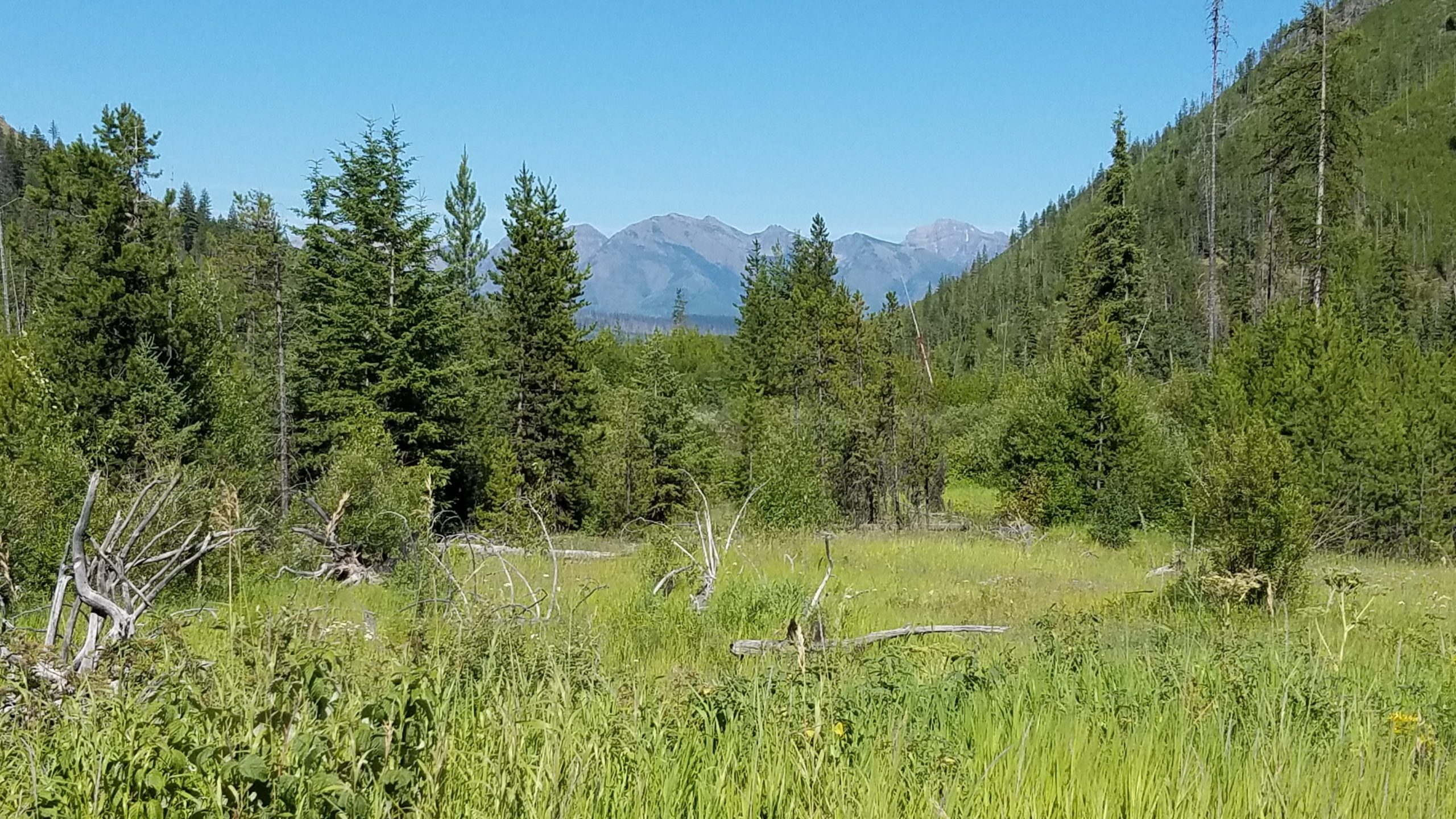
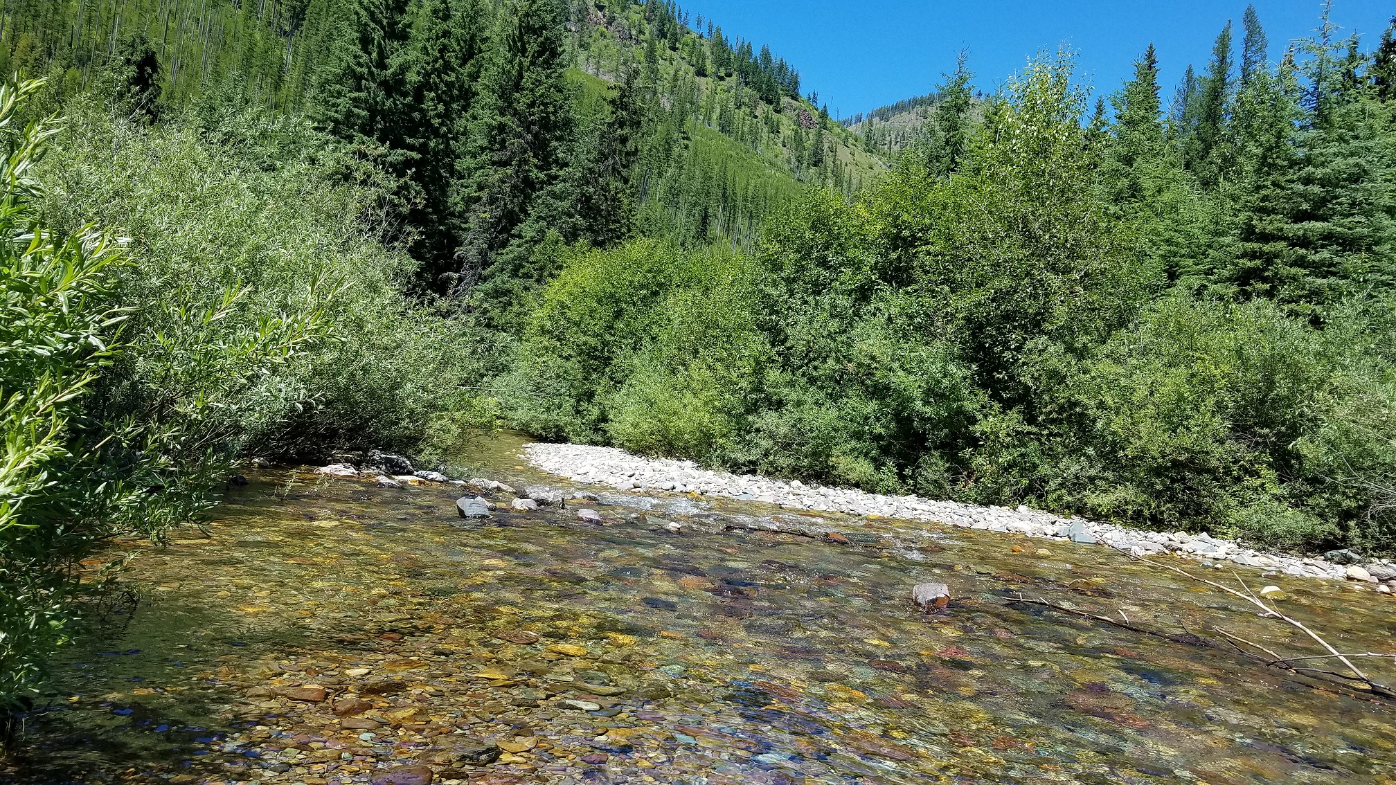
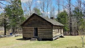
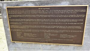
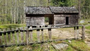
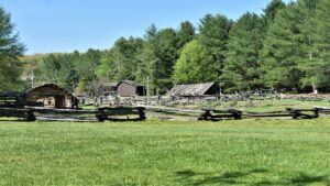
Then it was on to “Davy, Daavy Crockett, King of the wild frontier”, birthplace. He was born in 1786 in a very primitive log cabin located in a nice meadow and next to a rather large stream.
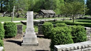 The park has built a reproduction of that cabin and some surrounding structures, along with a nice small museum.
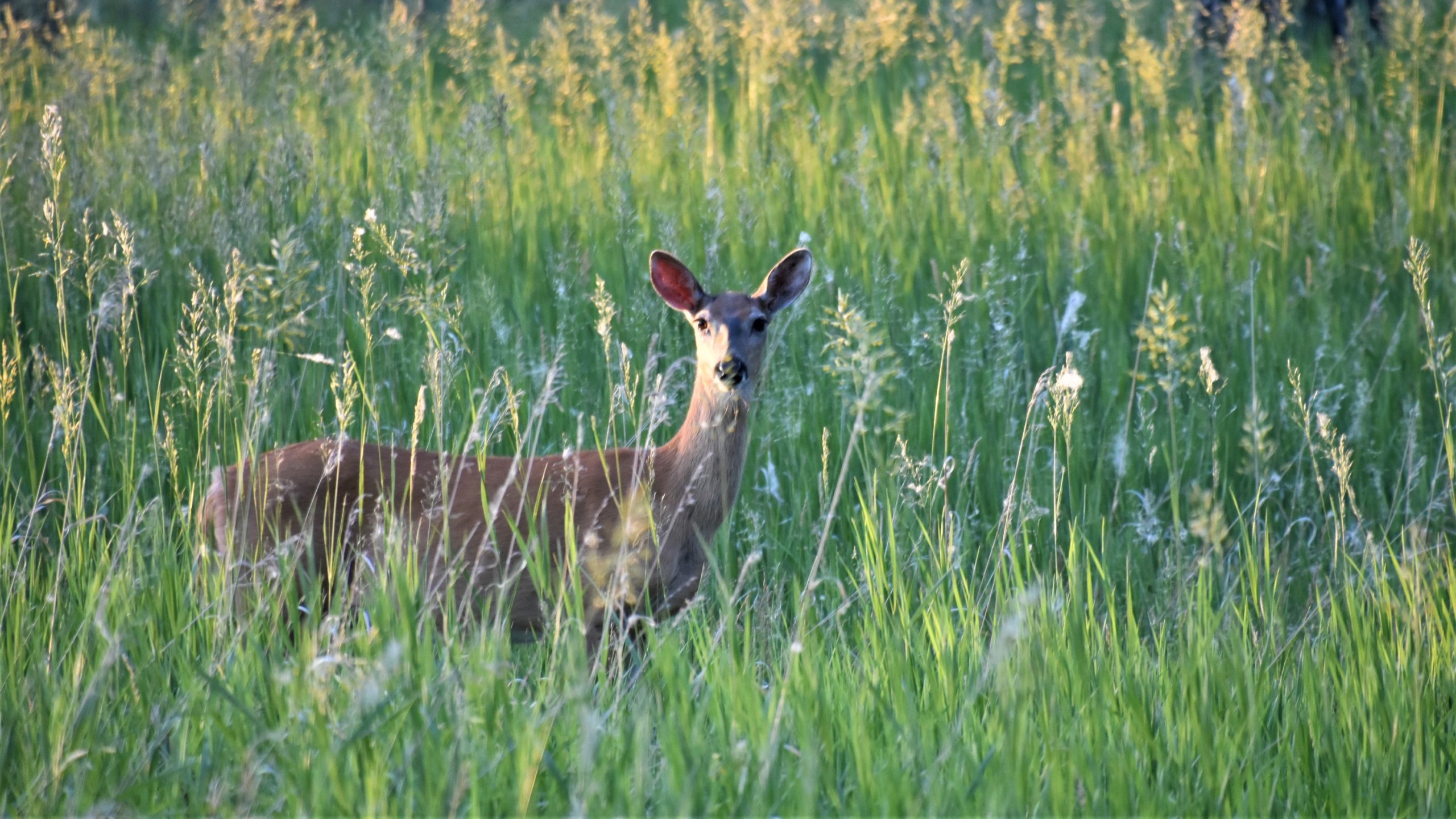
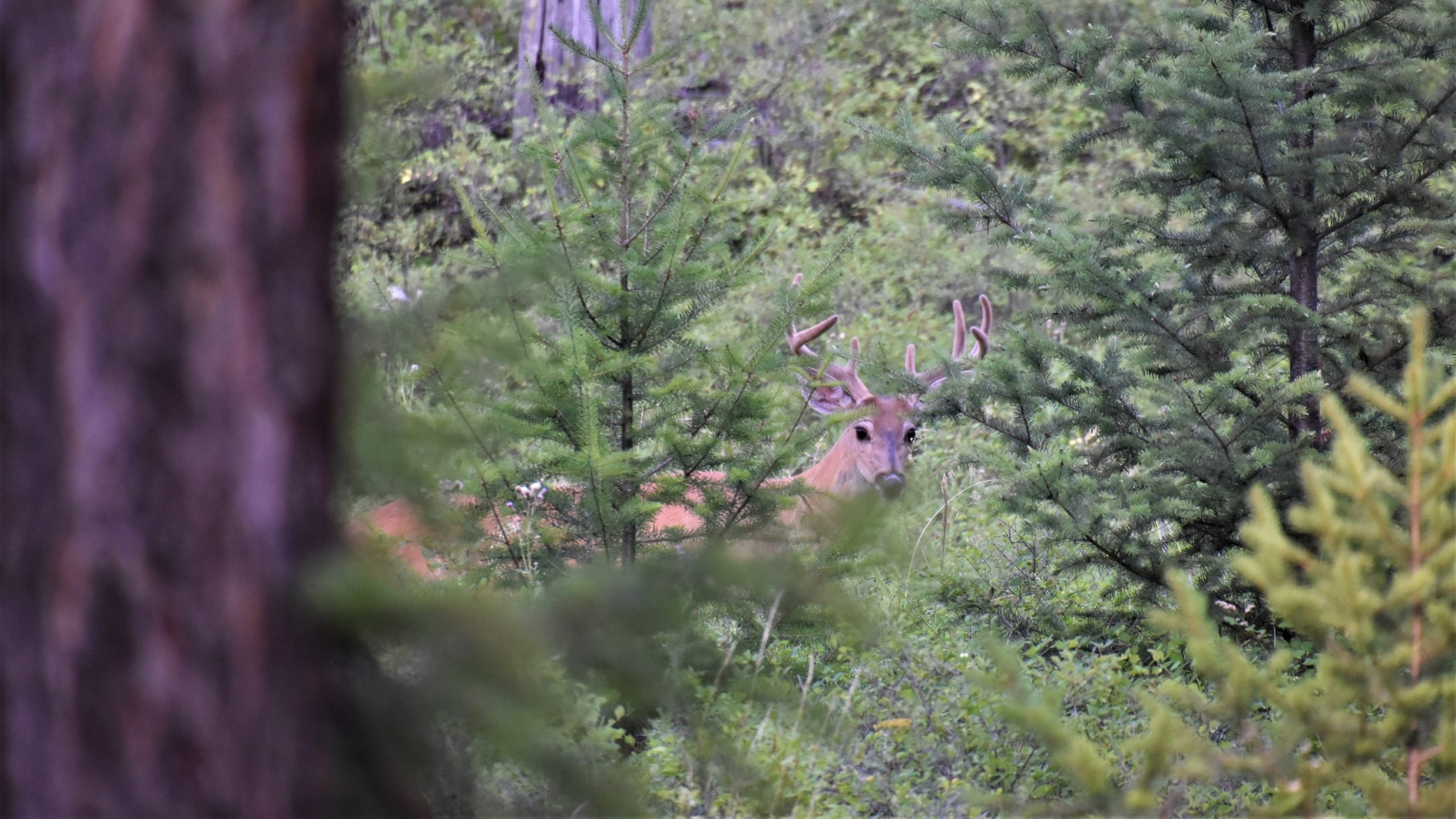
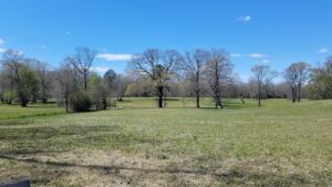
One of the advantages of traveling north fairly early in the year is that we get to follow spring arriving in lots of different areas and that was true of David Crockett Birthplace State Park.
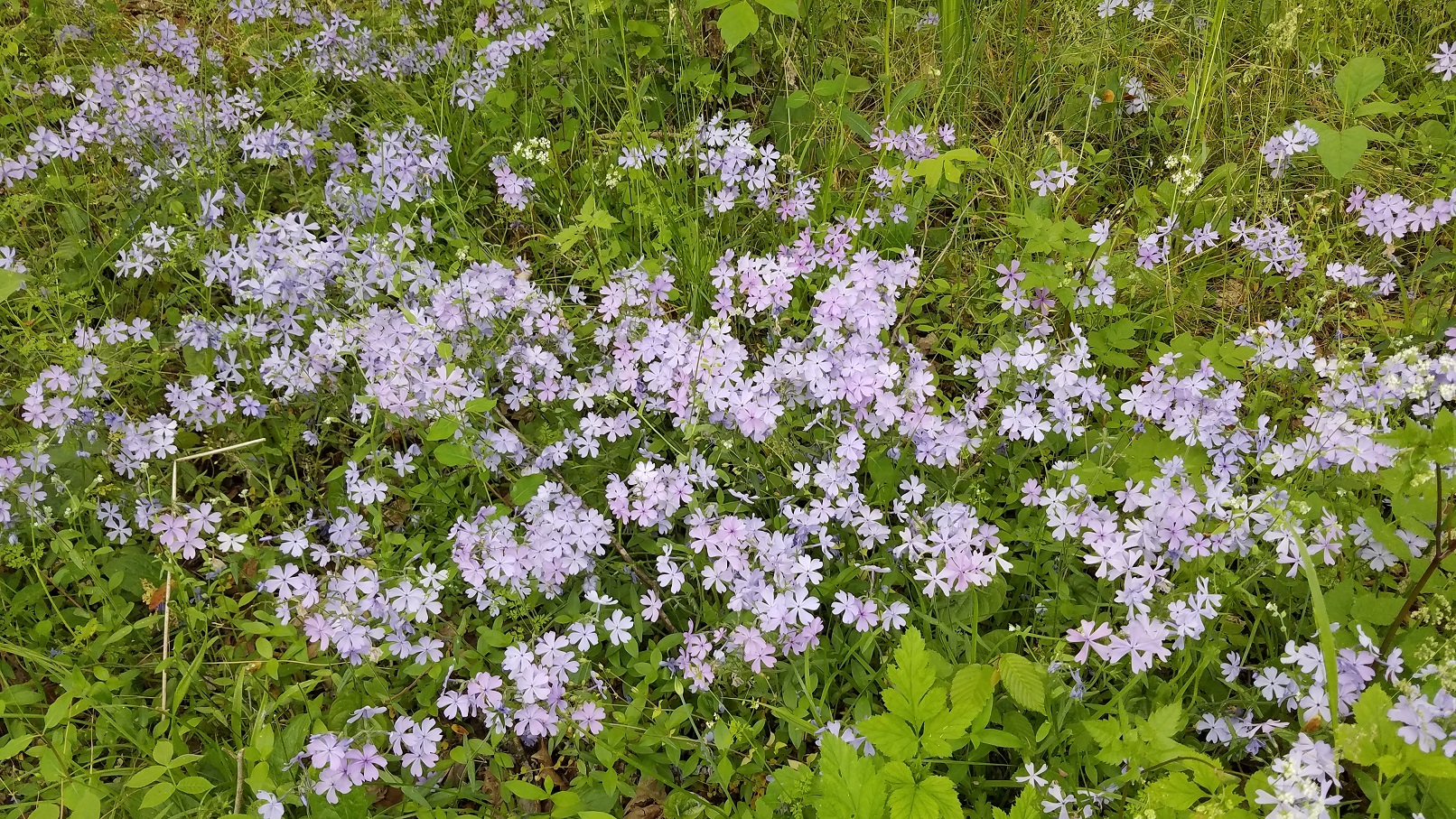
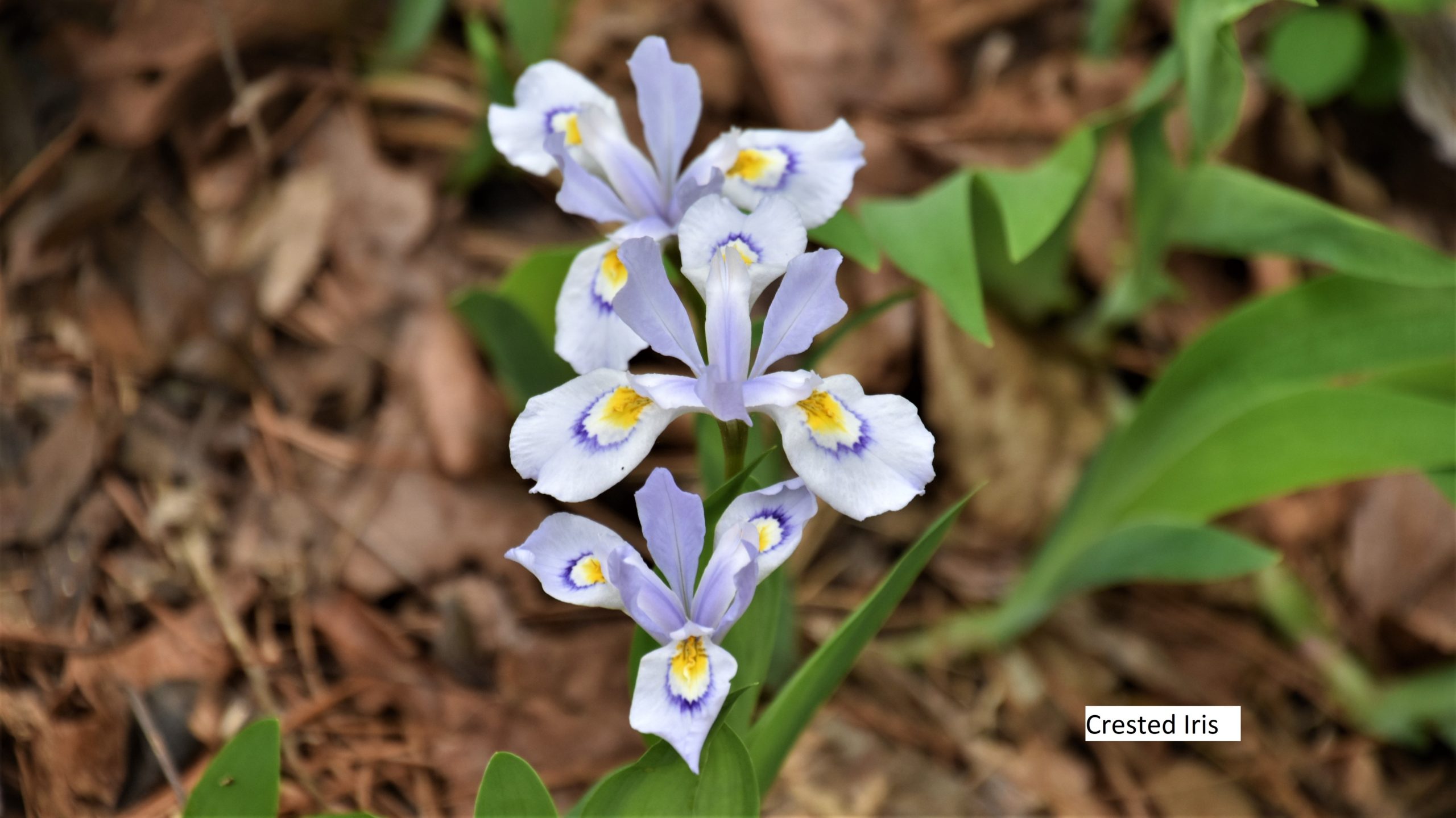
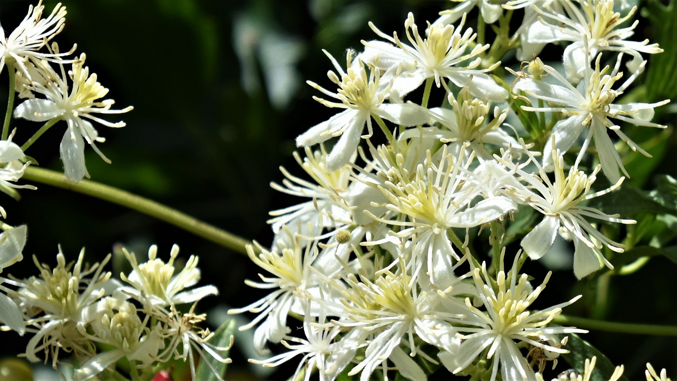
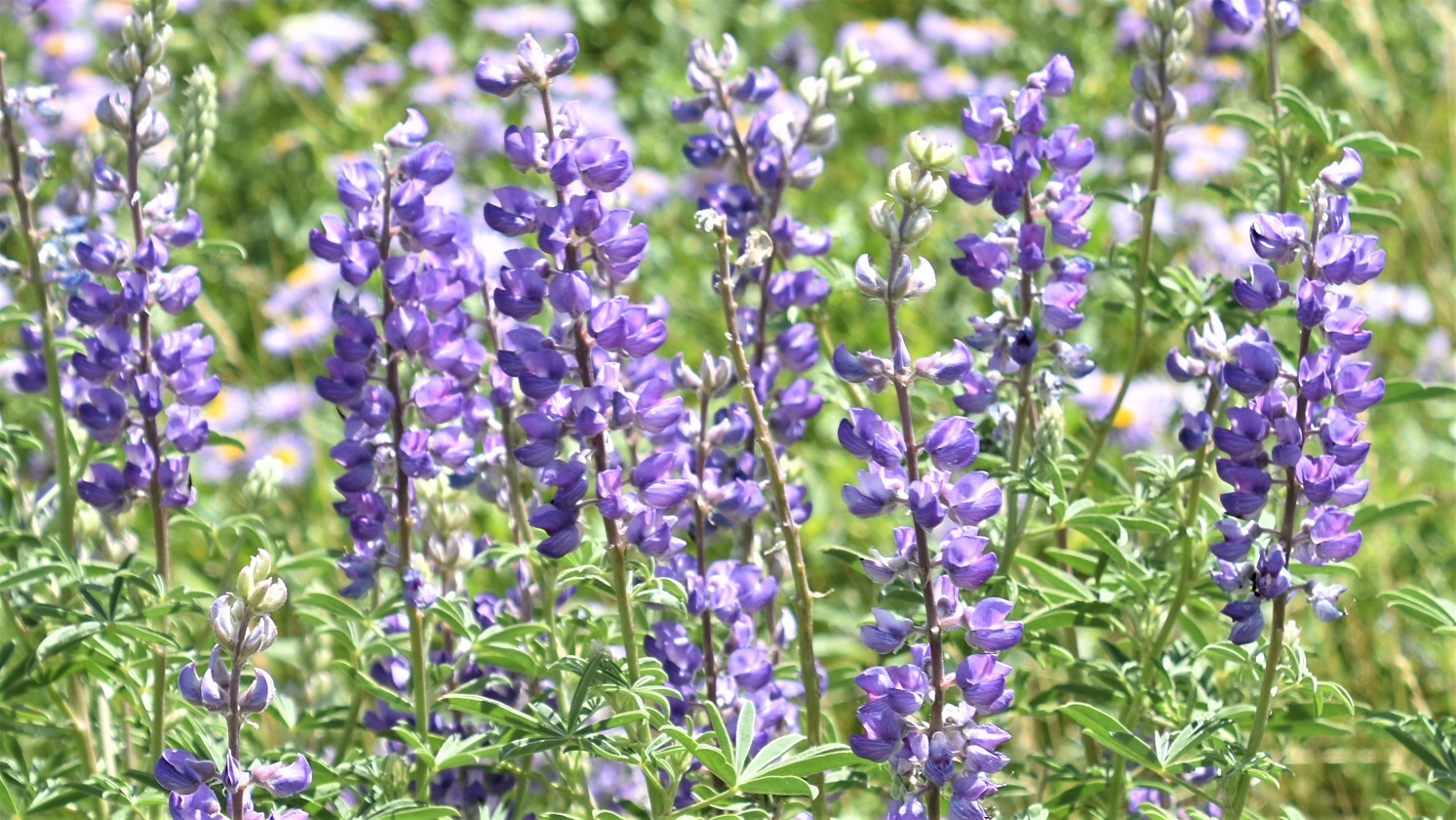
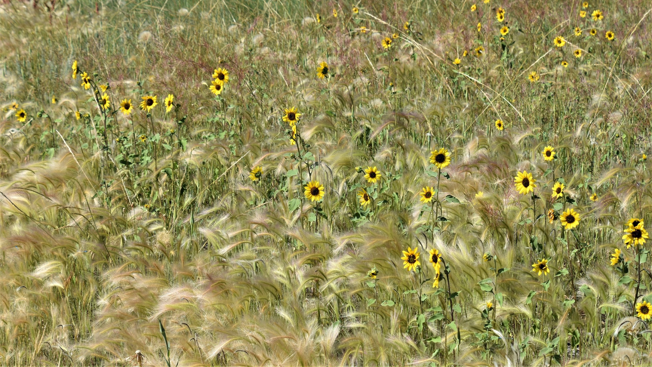
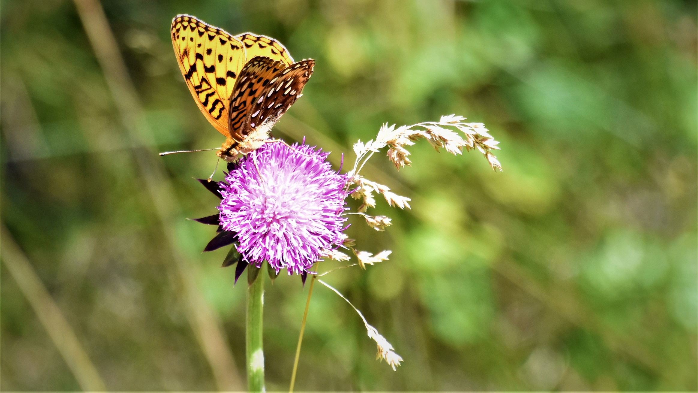
Wildflowers of all colors of the rainbow were blooming all around us. 
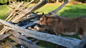
The park keeps animals from that period onsite, so I was able to indulge in another of my favorite pastimes, feeding donkeys!
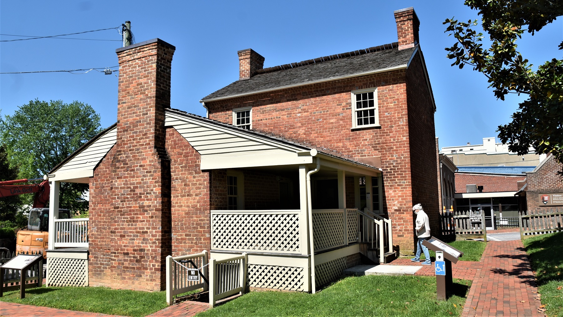
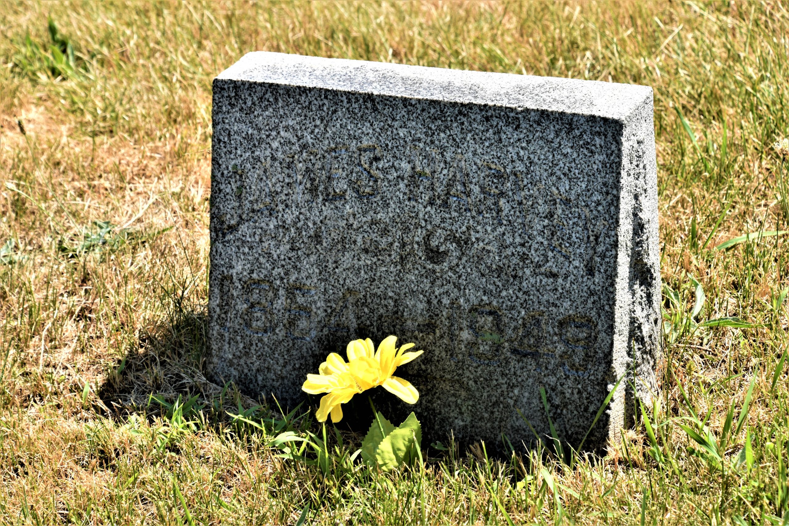
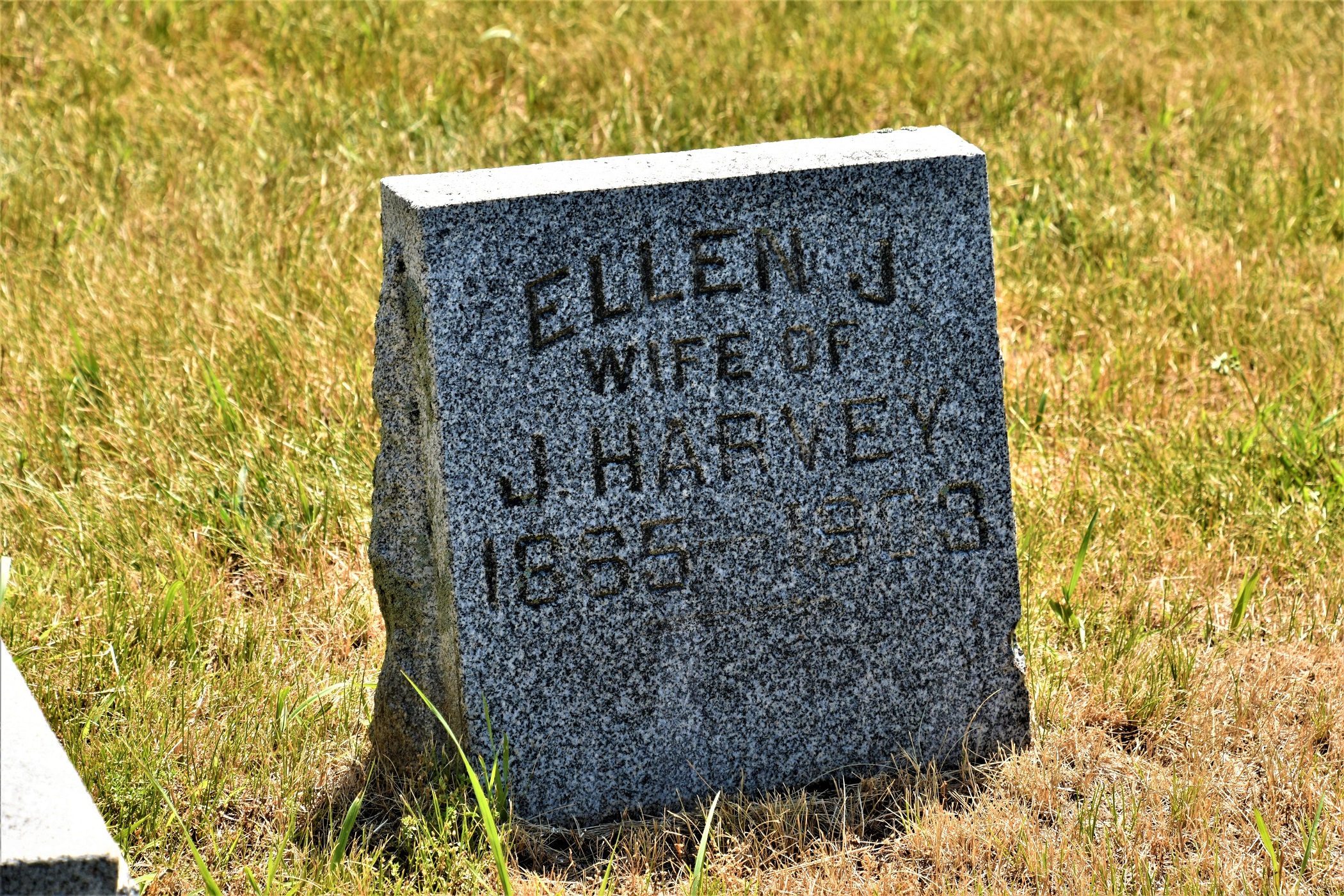
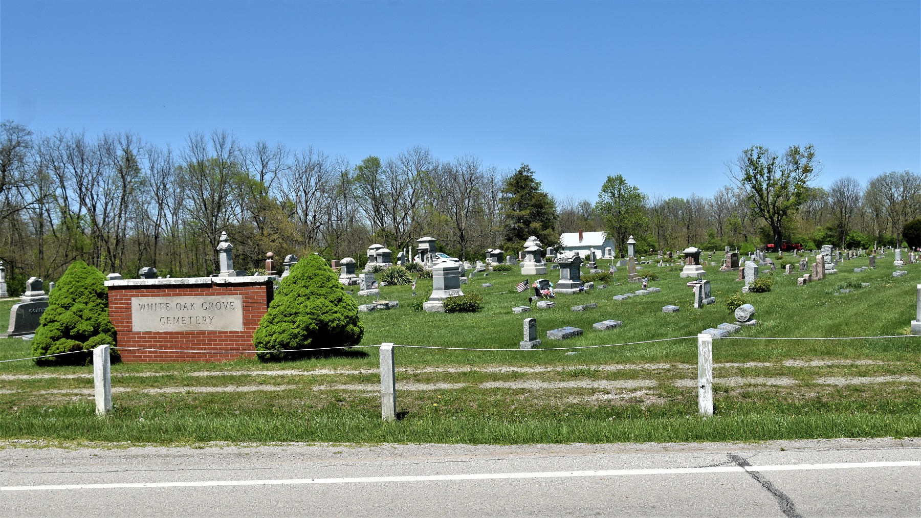
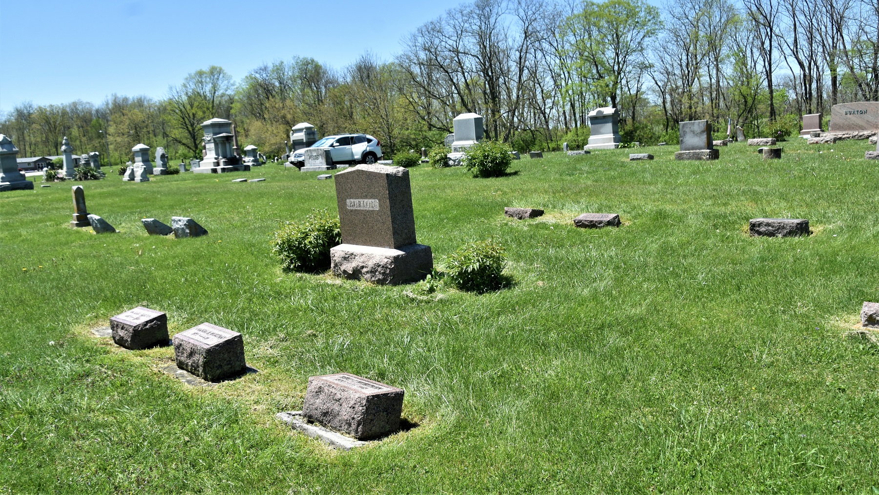
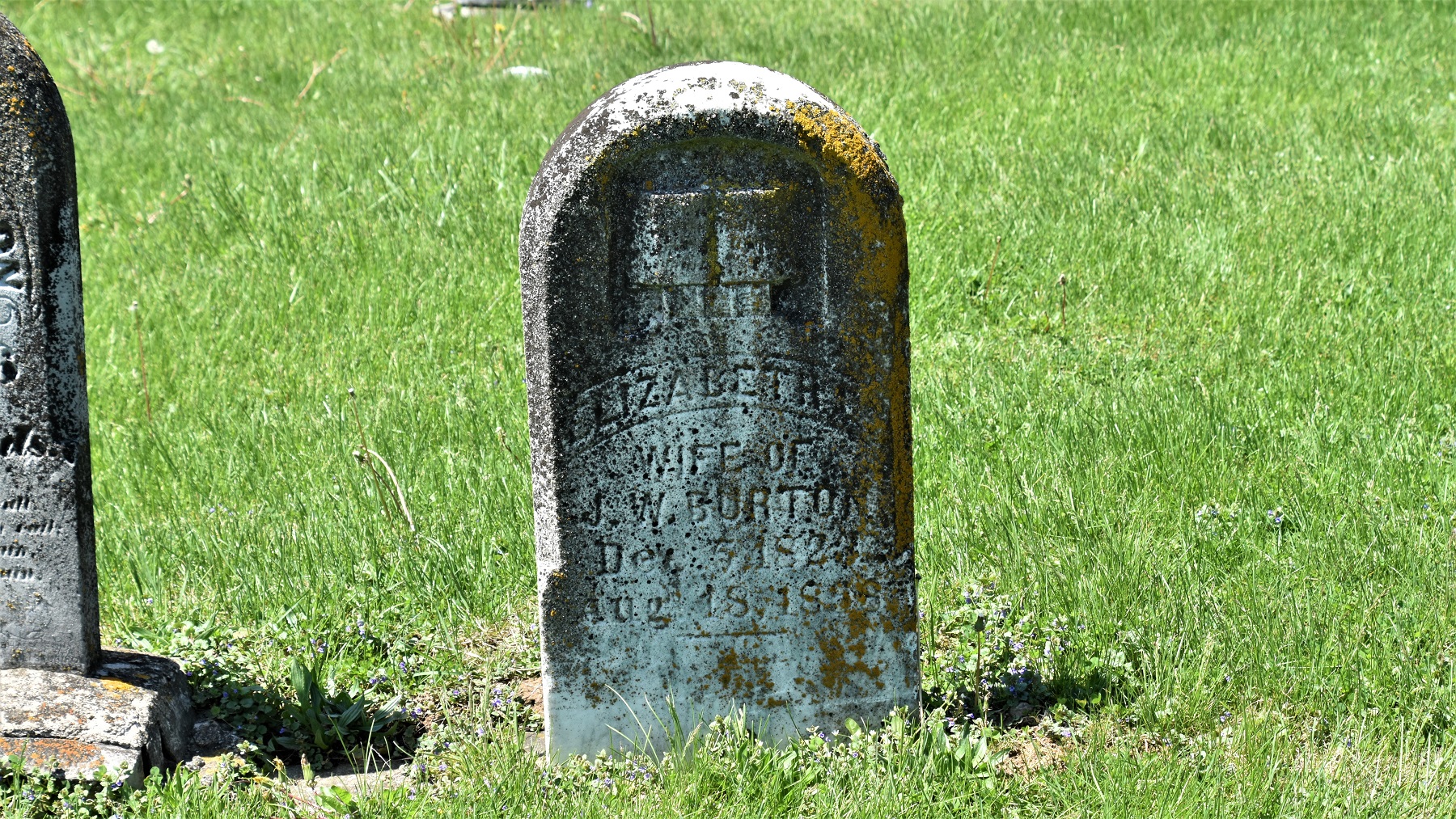
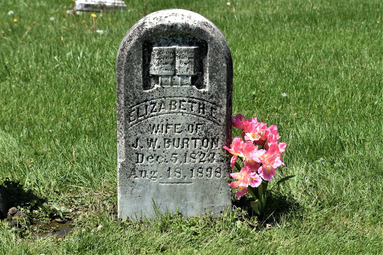
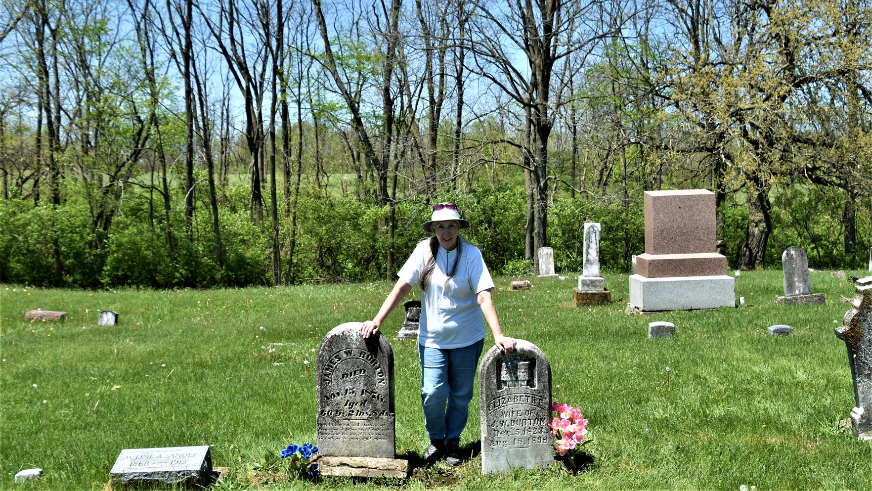
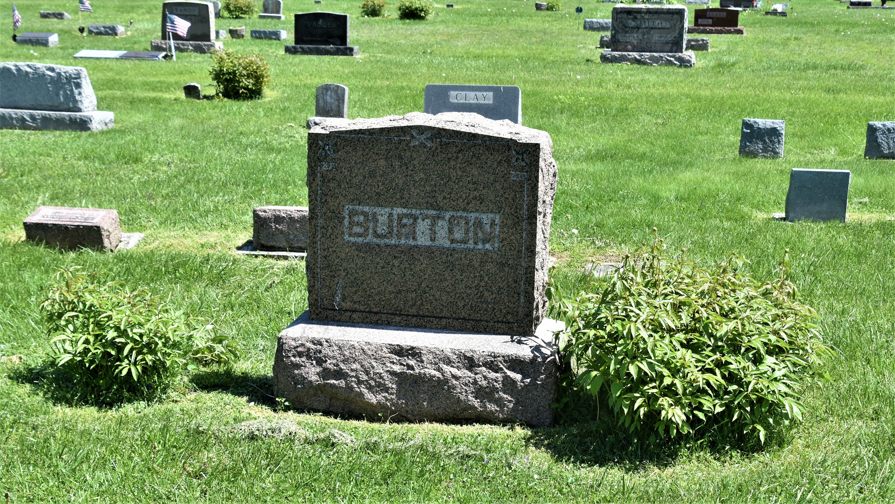
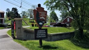
The park is close to Greeneville, the home of our 17th President, Andrew Johnson. 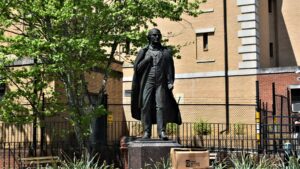
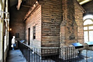 Johnson’s original tailor shop has been preserved by building a museum building around it.
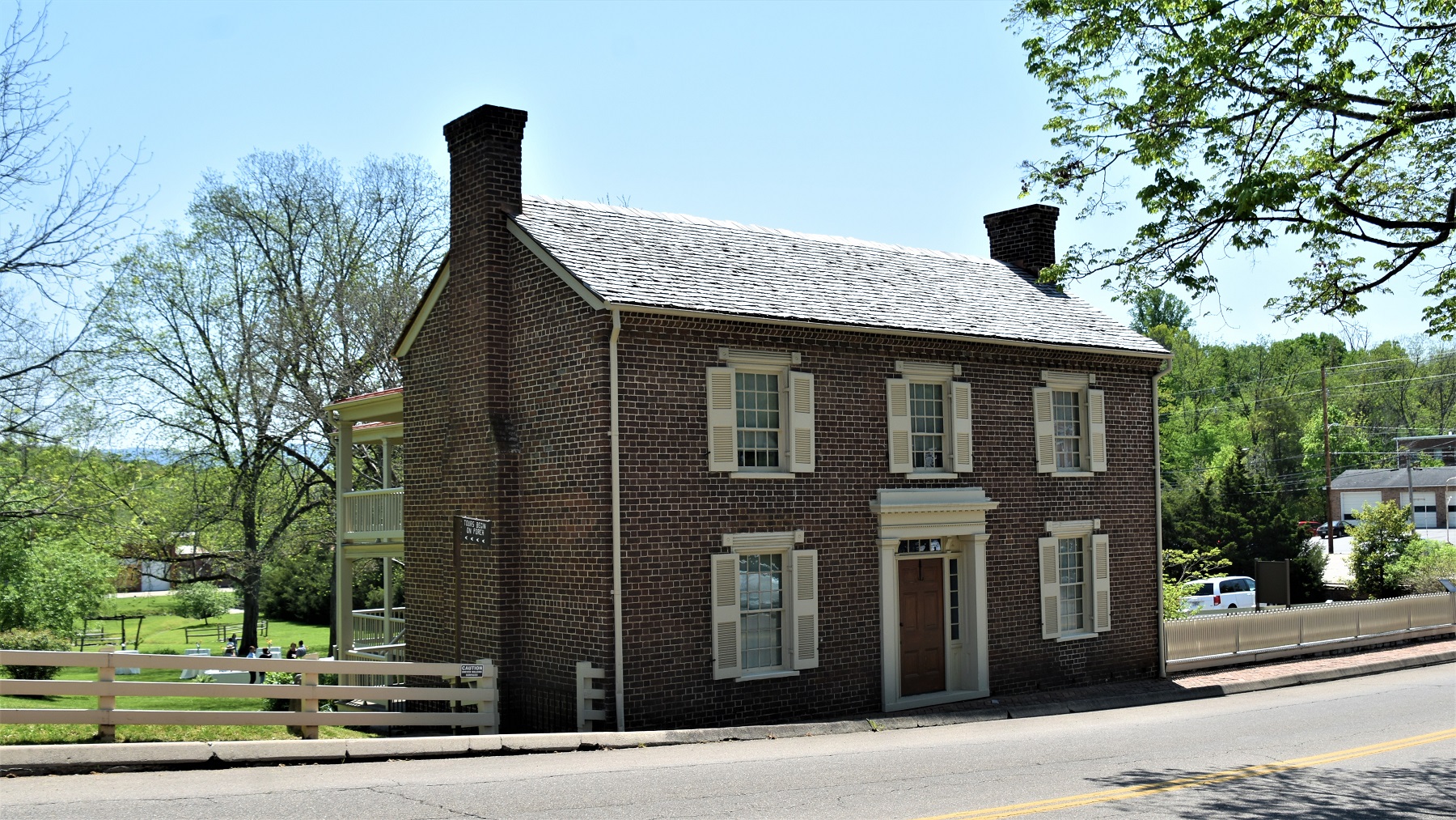
Johnson and his wife owned two homes, and both are part of the NPS system. Their second home was quite a bit larger and on more acreage than their ‘starter’ home.


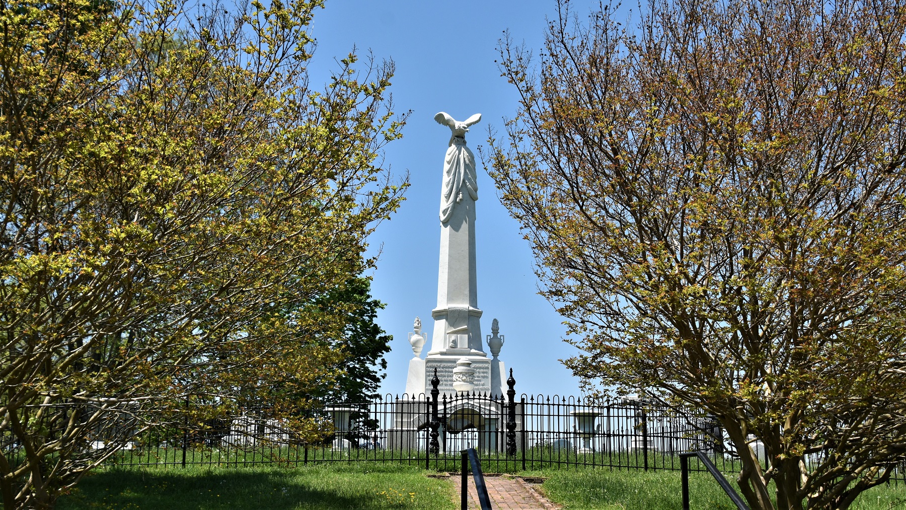
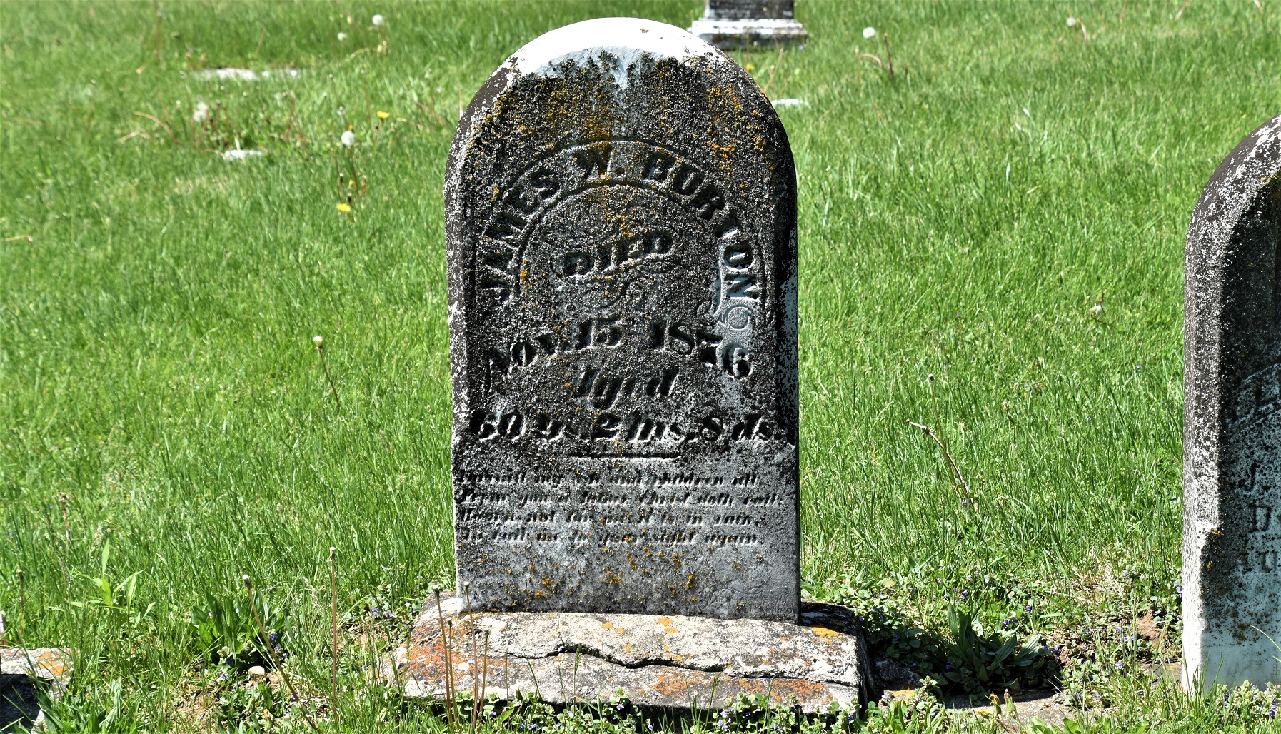
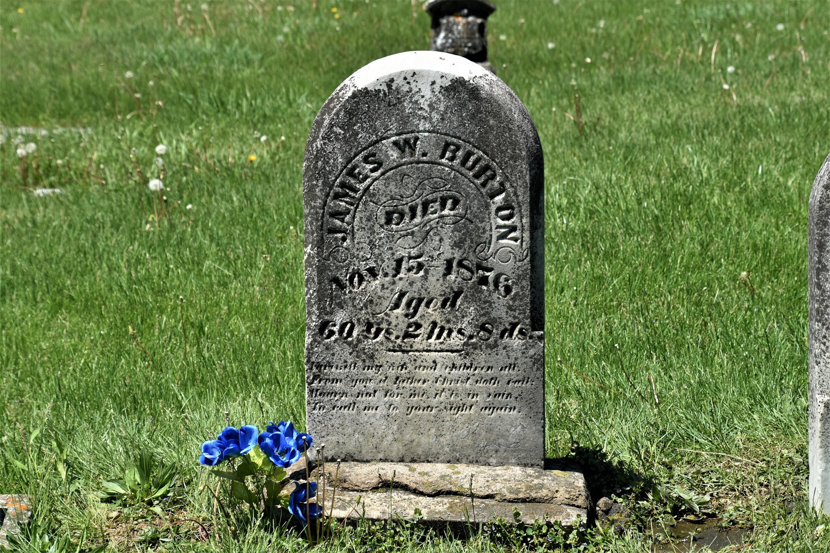
The Johnsons are buried along with other family members in a National Cemetery, perched high on a hill overlooking the town and also owned by the National Park Service.

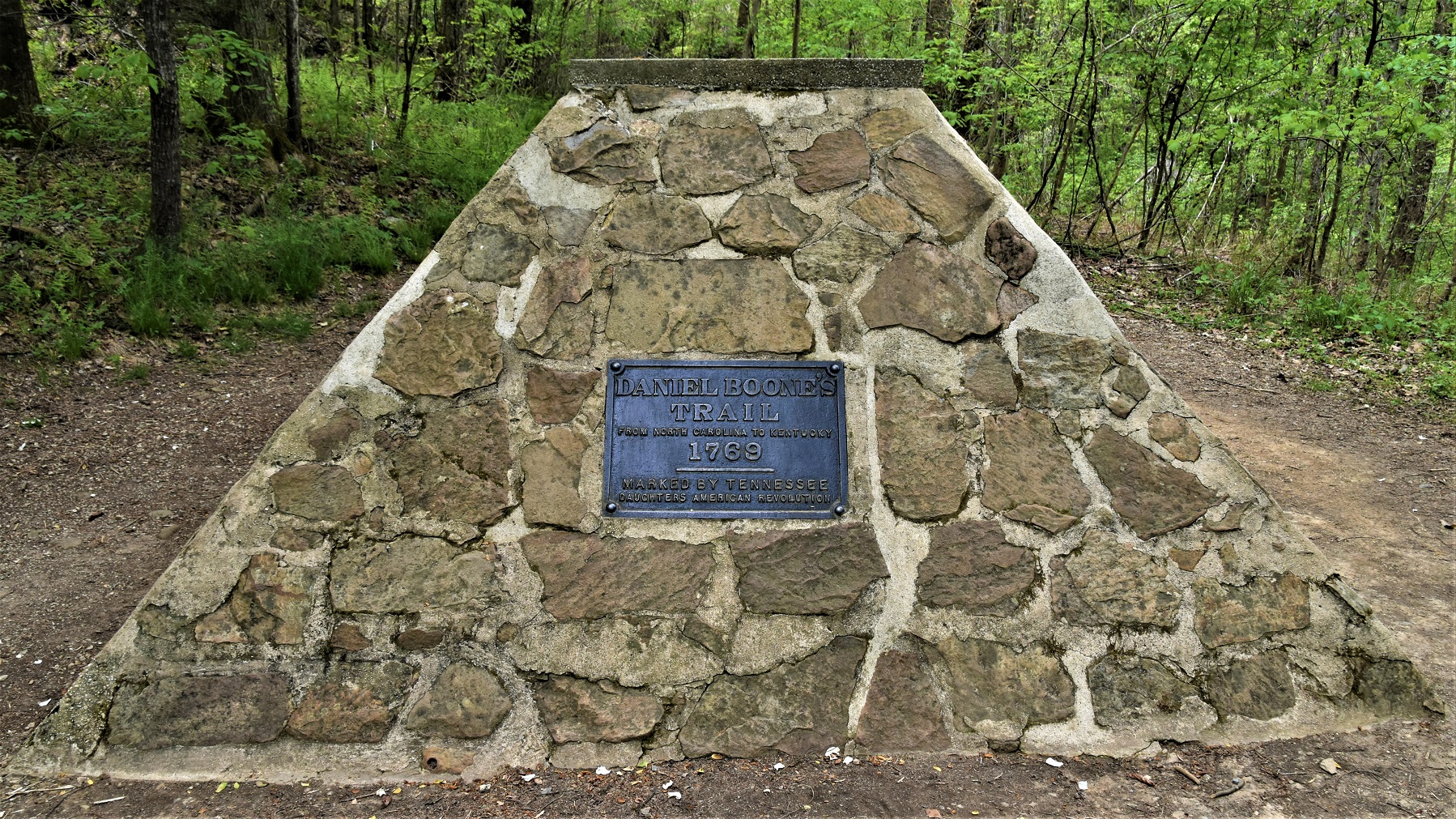
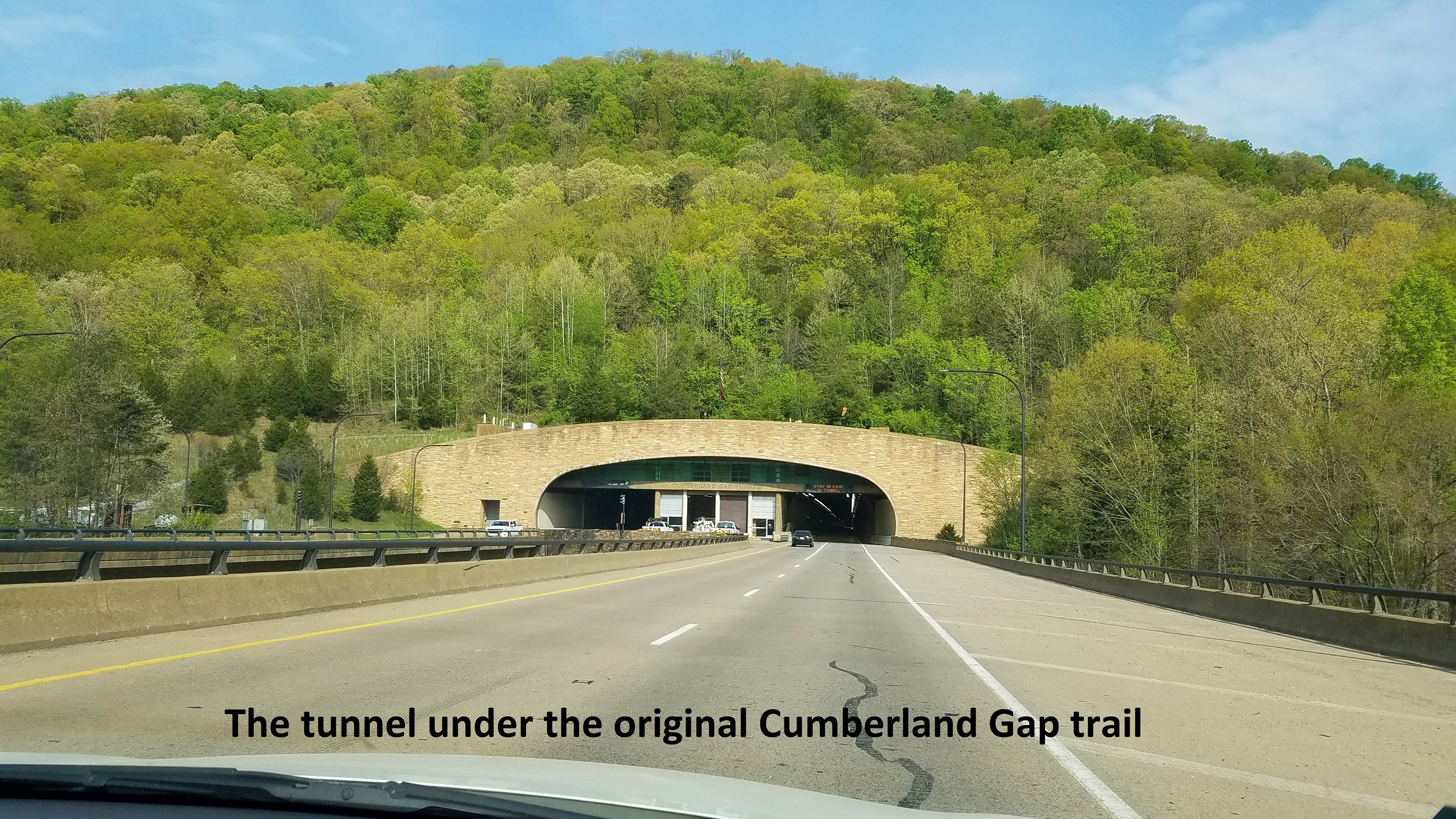
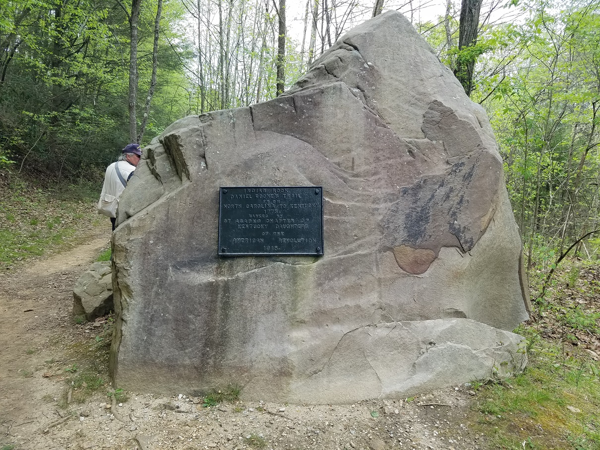
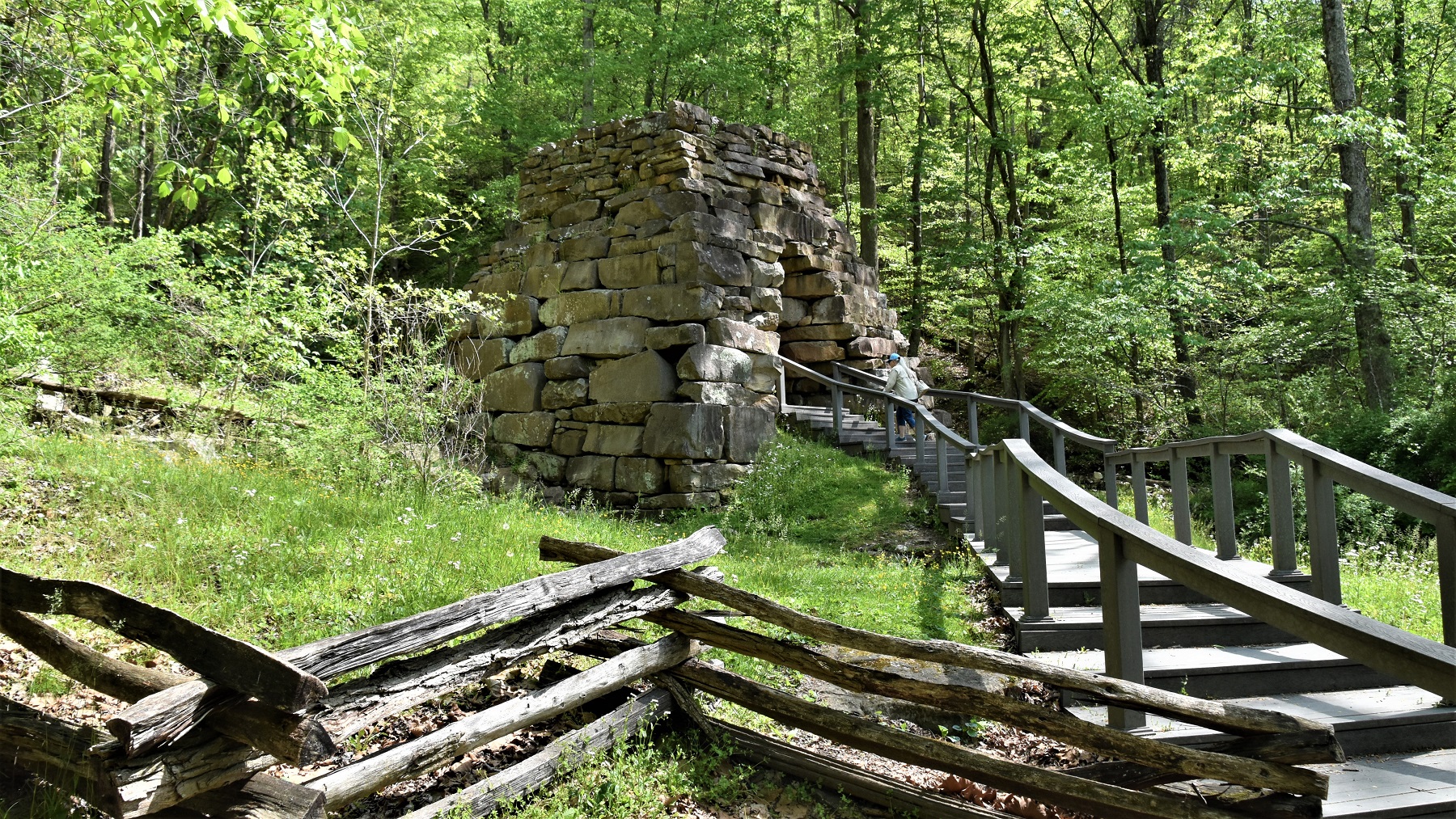
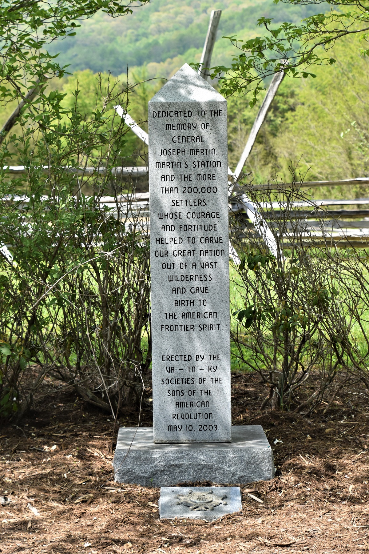
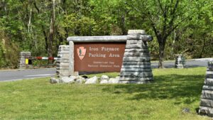
Our final stop in Tennessee, at the top of the state again, was at Cumberland Gap, the opening which, when found by Daniel Boone, allowed settlers to enter Kentucky.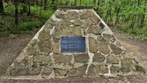 The trail through the gap was originally very narrow and rough and through the years was expanded to a highway. In 1996, the highway was closed and re-routed under the gap, the asphalt was removed and the area was allowed to return to its original state.

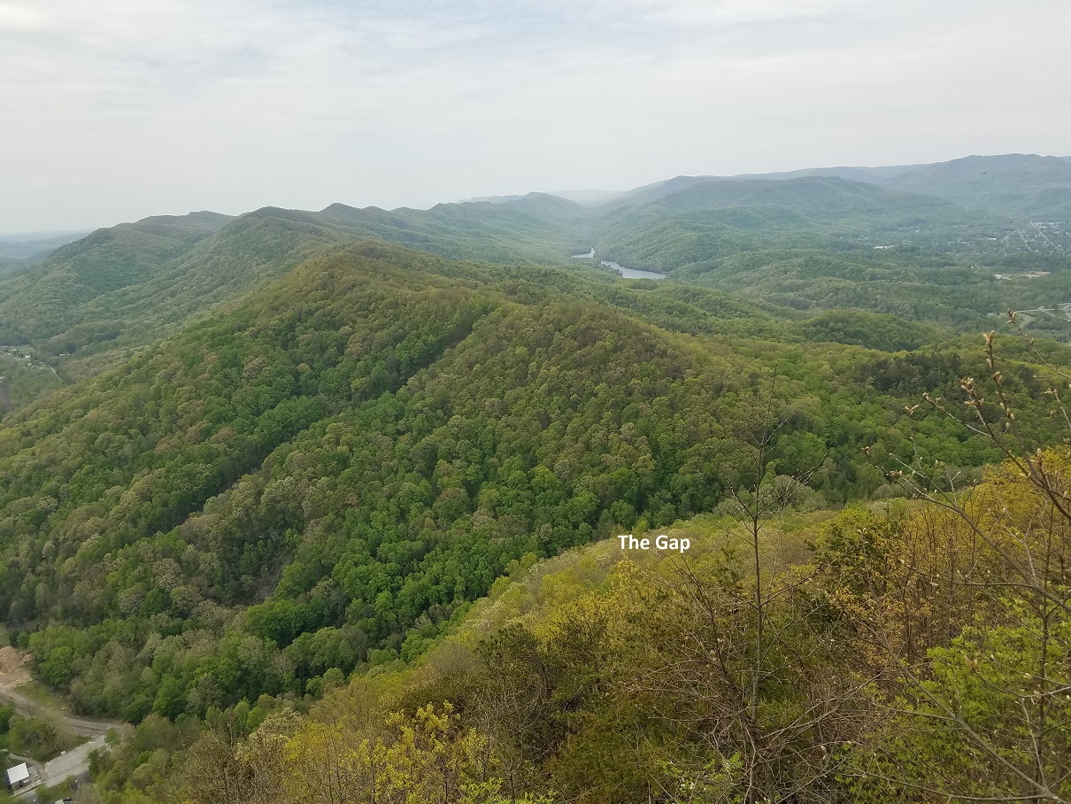
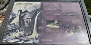
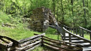
The entire area is now a National Historic Park, with roads up the mountain, lots of trails and even preserved Civil War sites.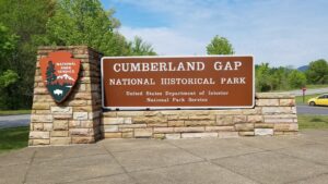
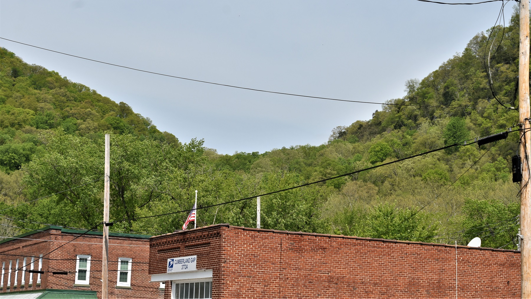
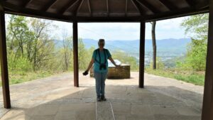
There is an overlook to the gap and the small town of Cumberland Gap at the end of one of the park’s trails.

 Another trail takes you to the geographical corner of Tennessee, Kentucky and Virginia.
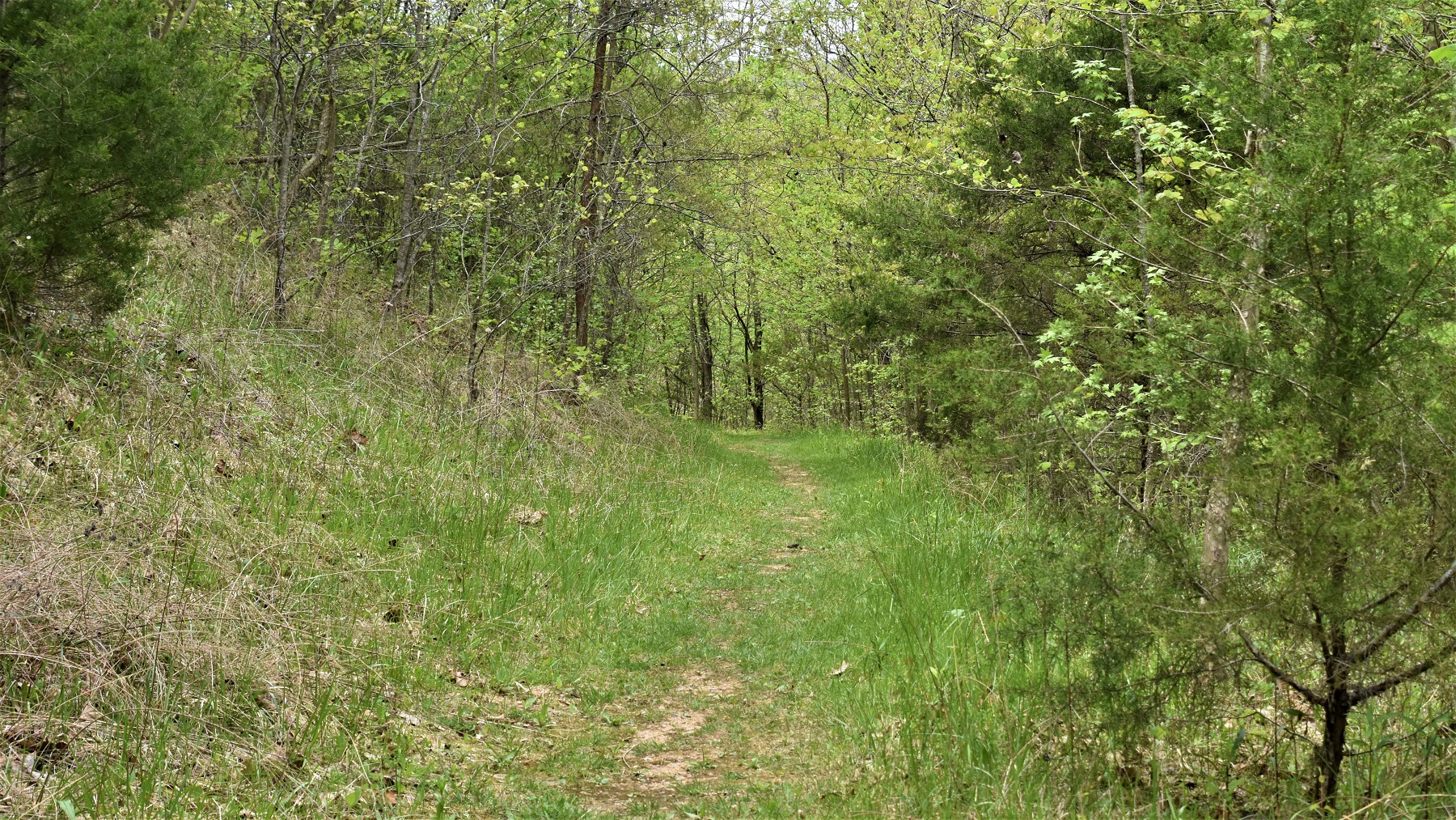
Of course, walking on the Cumberland Gap trail is the highlight. 


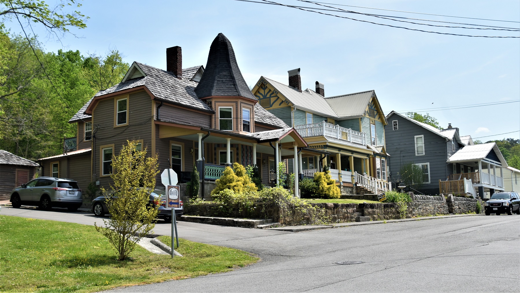
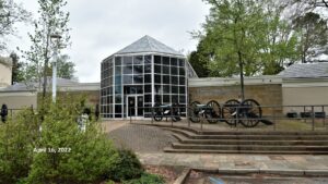
We then spent a day in the scenic town of Cumberland Gap: 
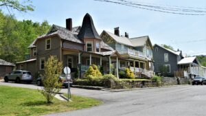
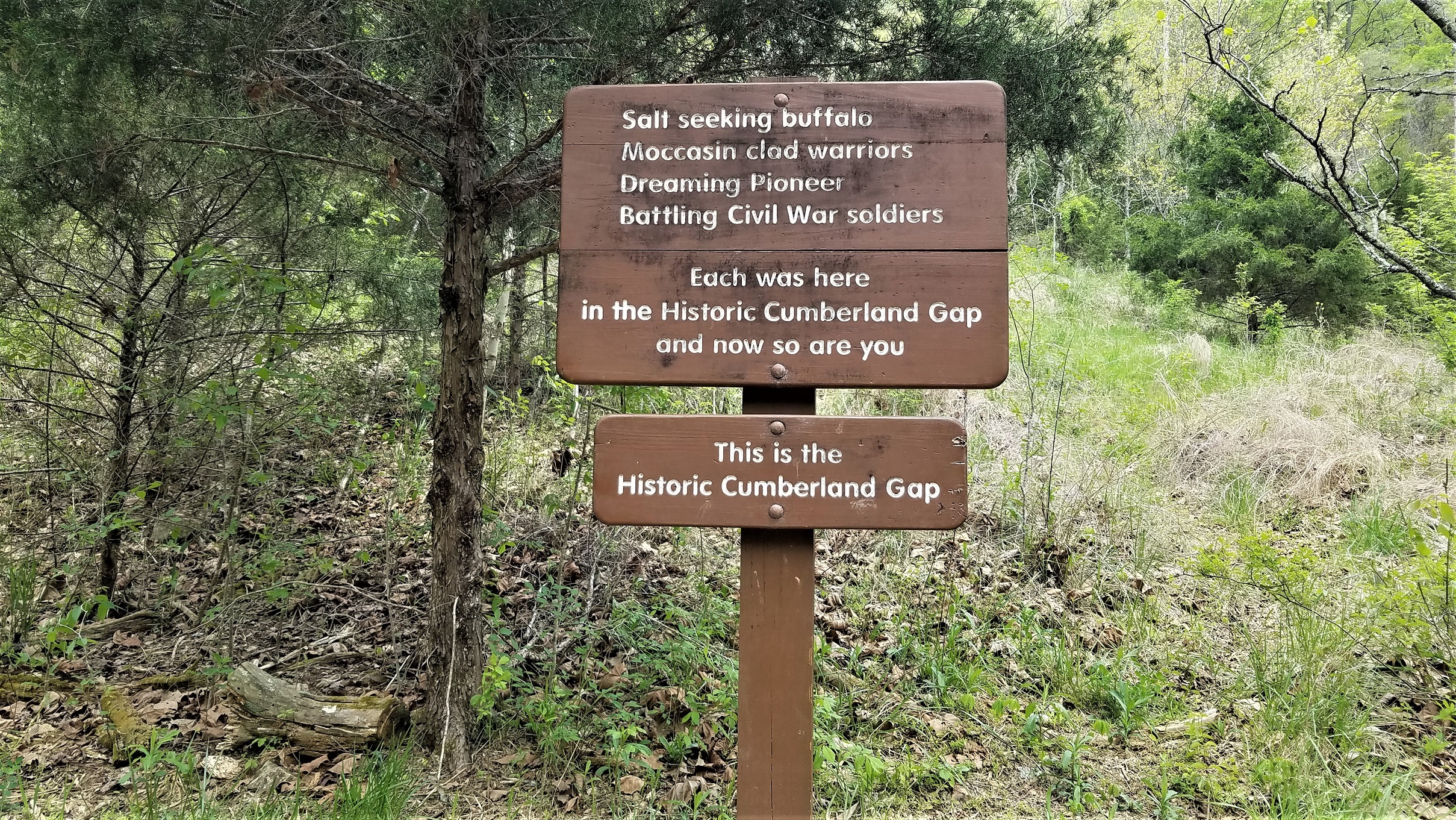
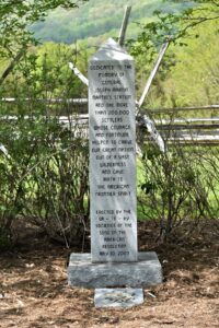
Cumberland Gap has its own Historical Site:
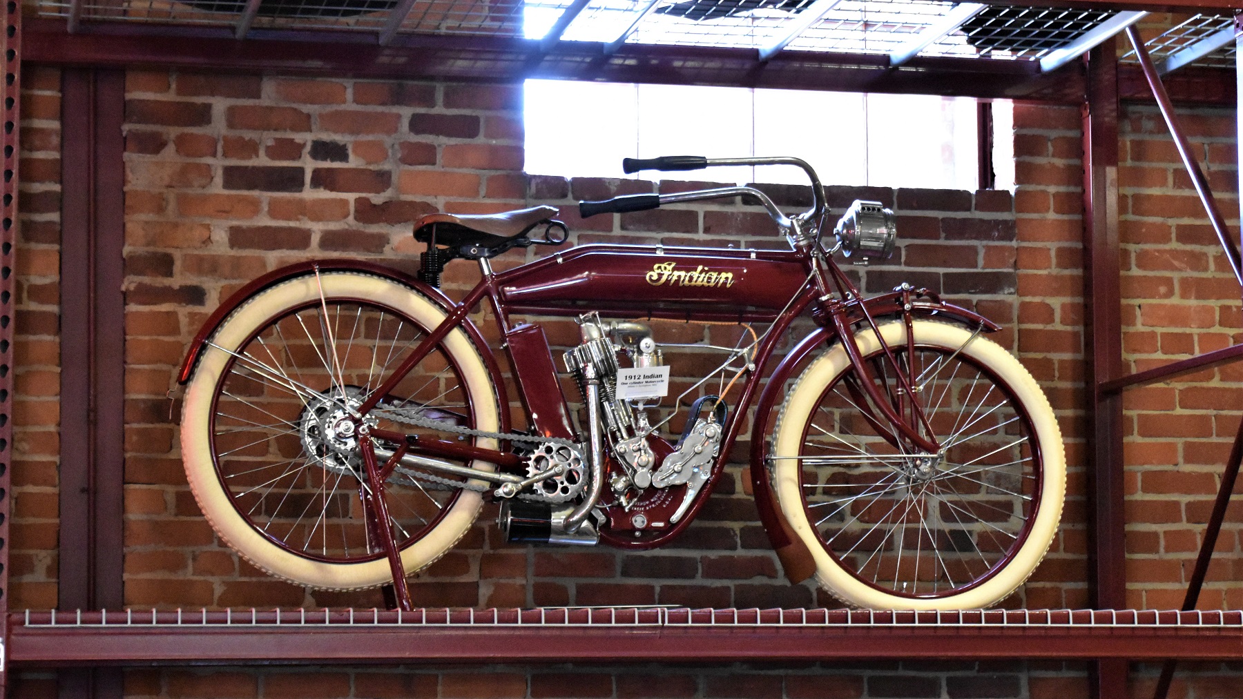
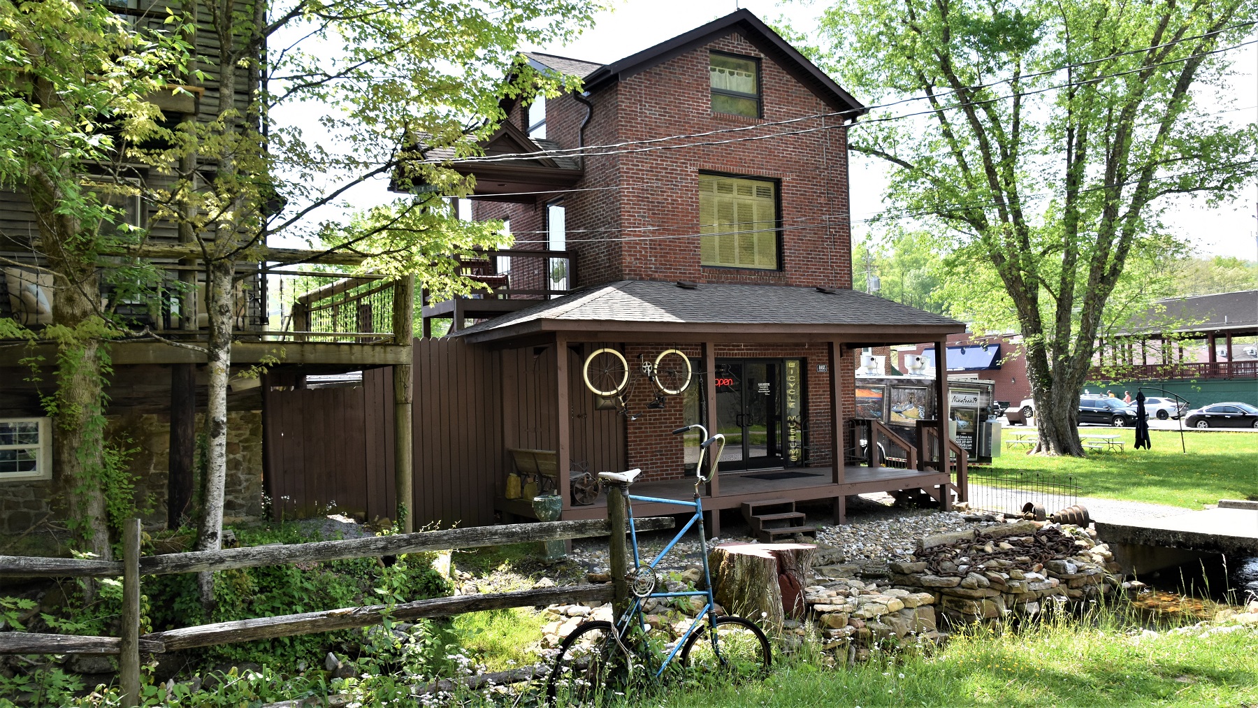
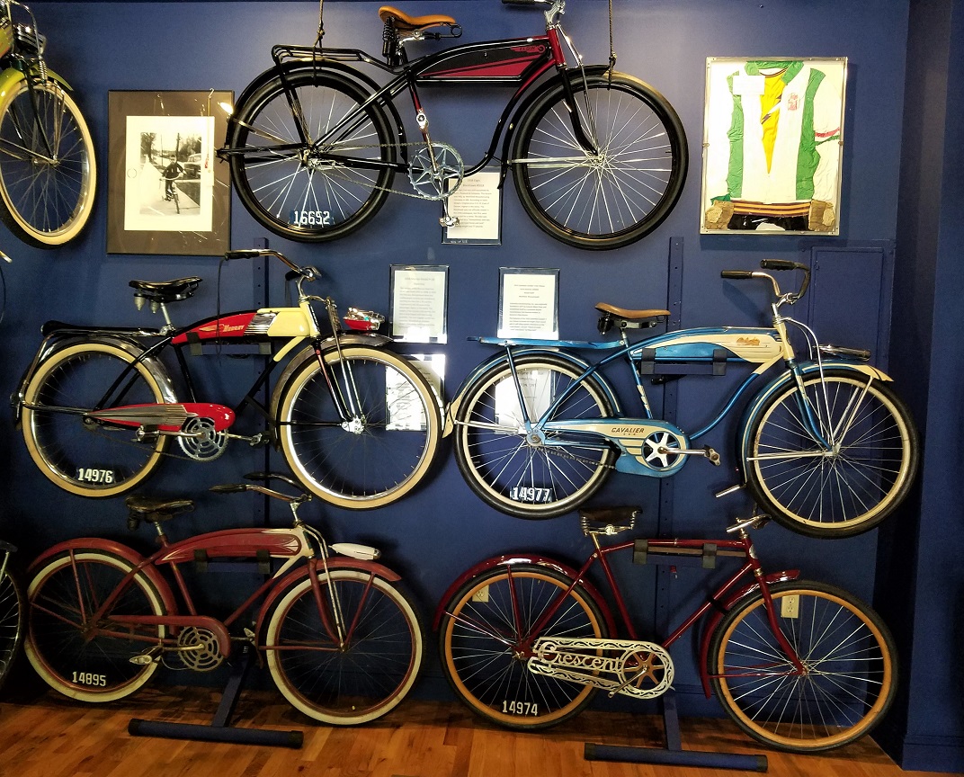
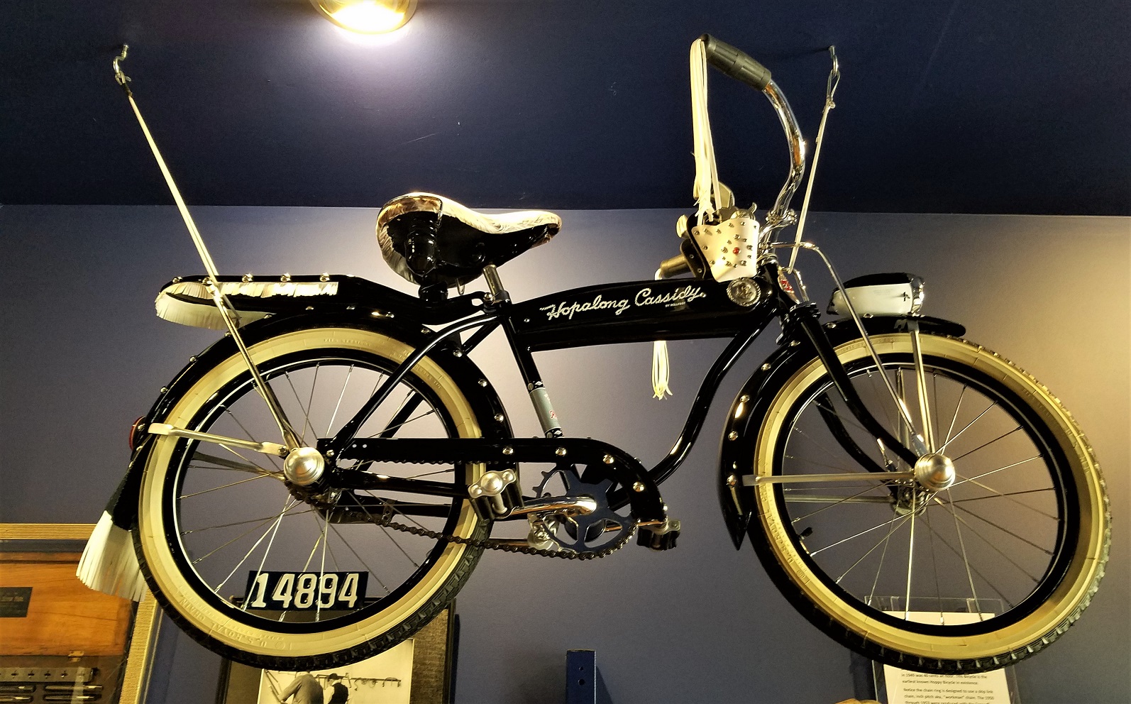
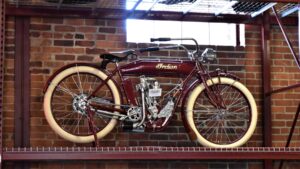
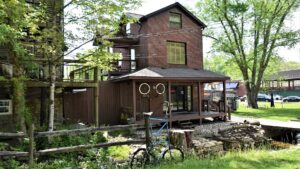
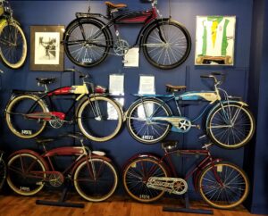
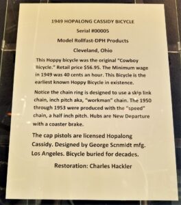
There is a wonderful, tiny, bike museum in the town:

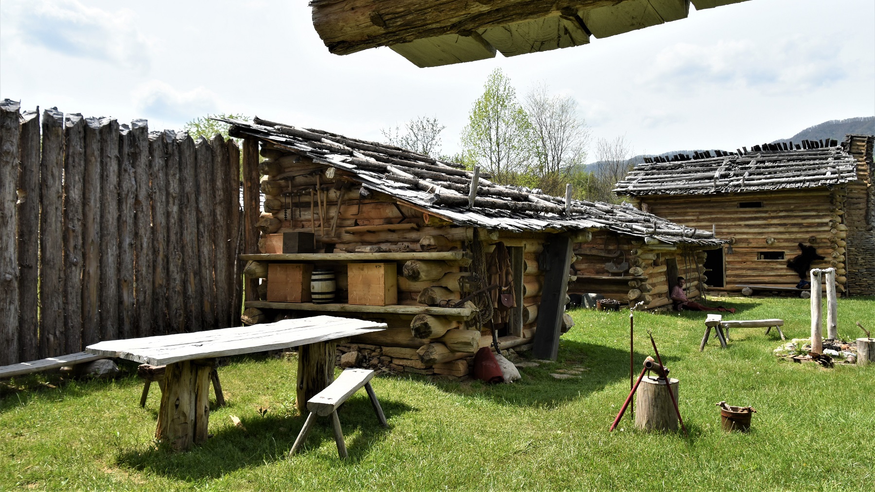
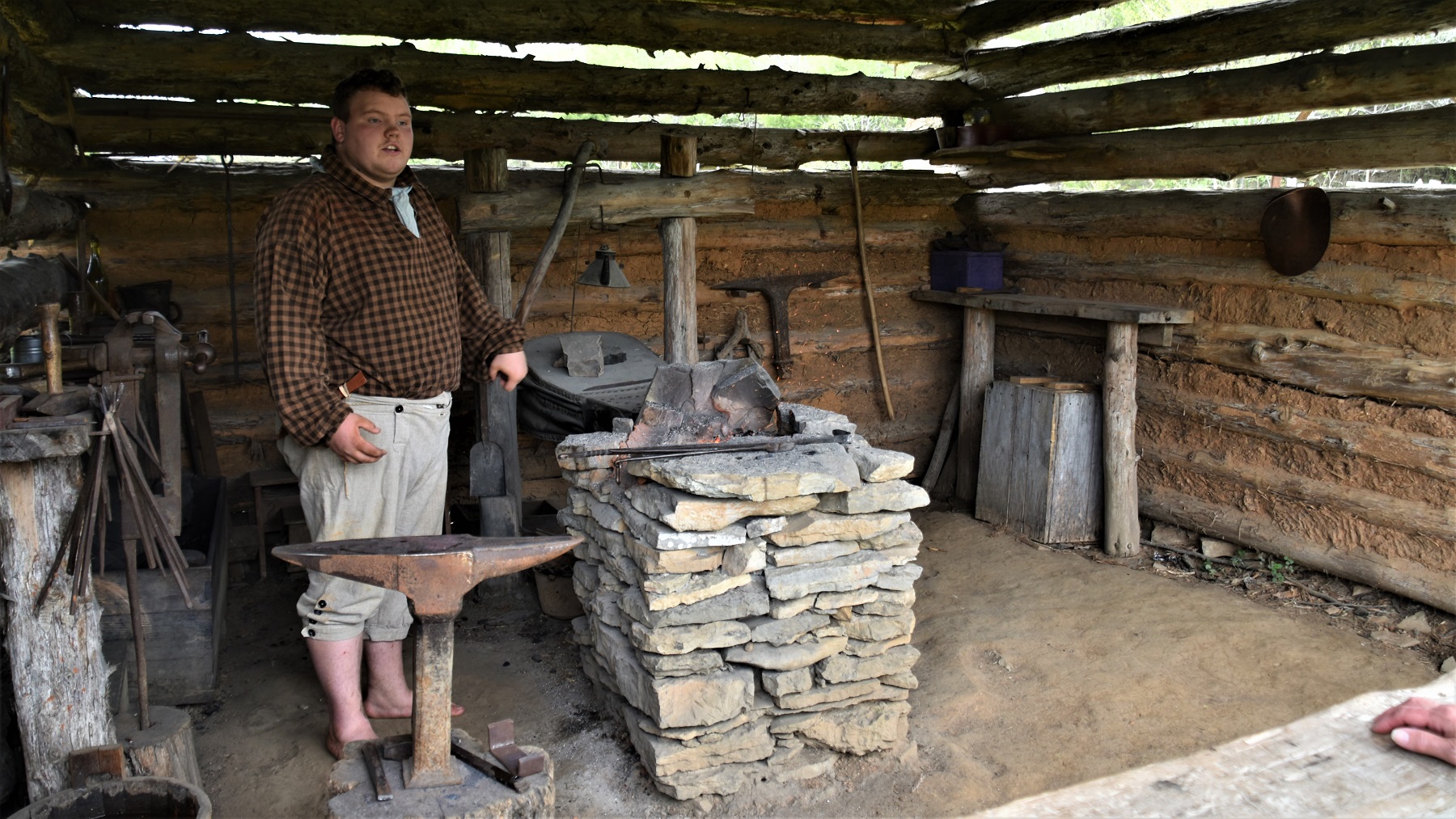
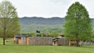
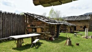
A few miles from the gap, across the Virginia state line, is Wilderness Road State Park, built along the original wilderness trail into Kentucky and which contains a reproduction of Martin’s Station, an outdoor living history museum depicting life on Virginia’s 1775 frontier.

The next day, we packed up, drove under Cumberland Gap and entered Kentucky…but that is another story!
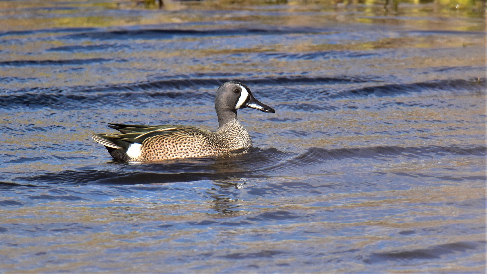
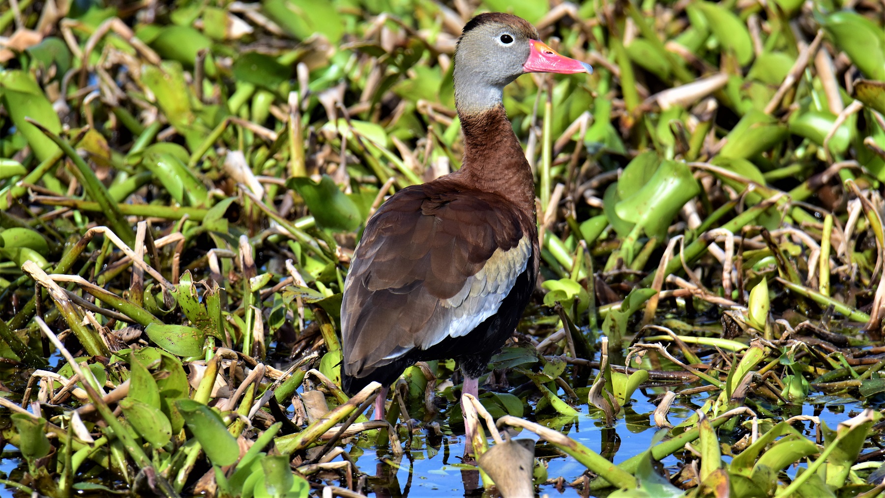
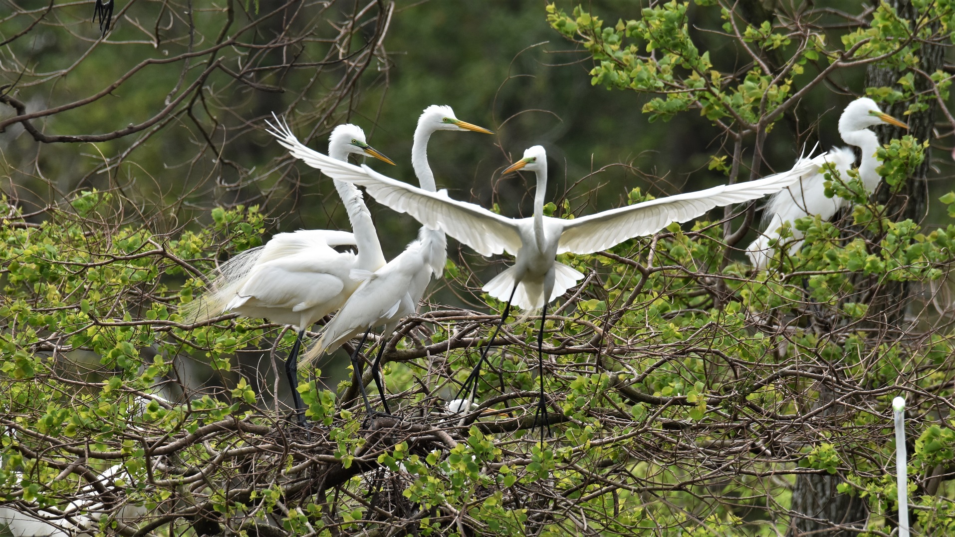
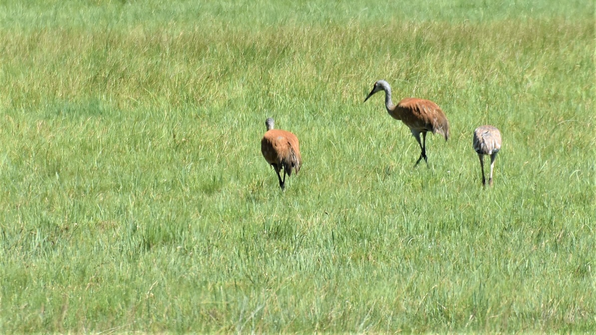
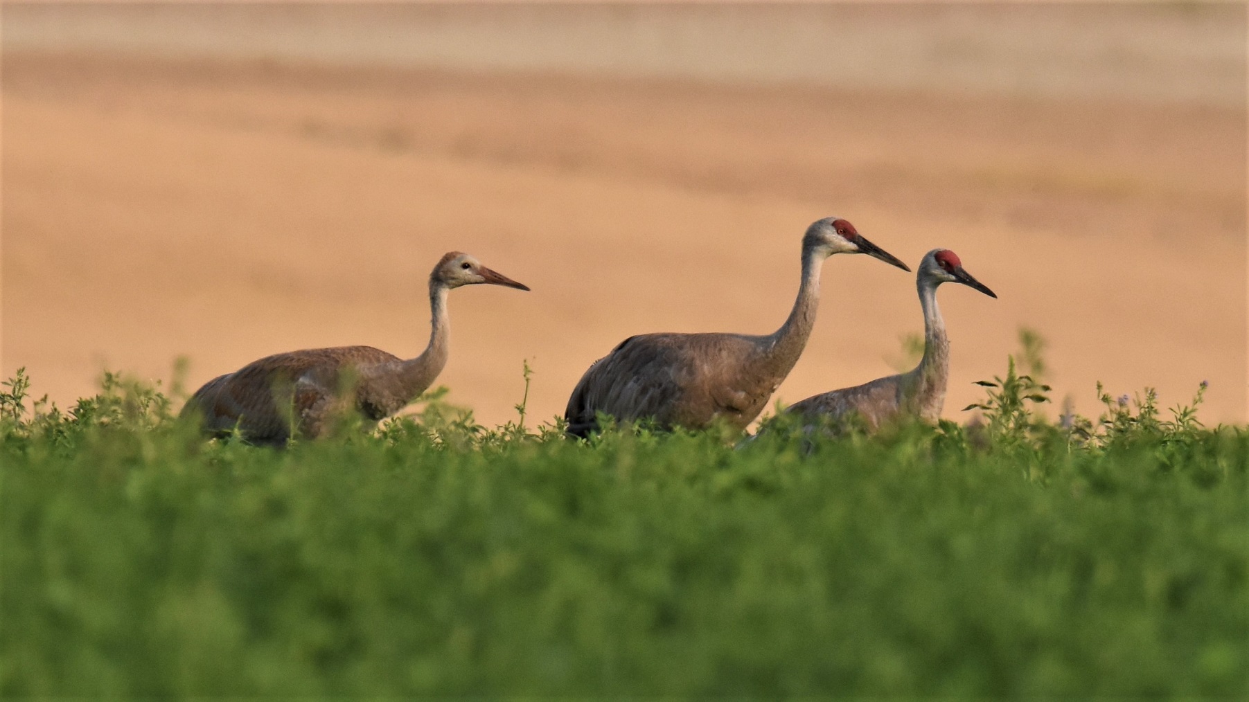
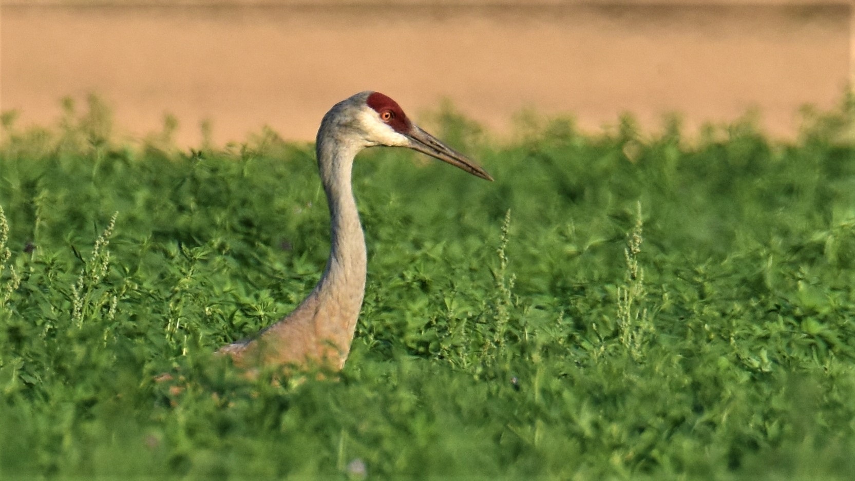
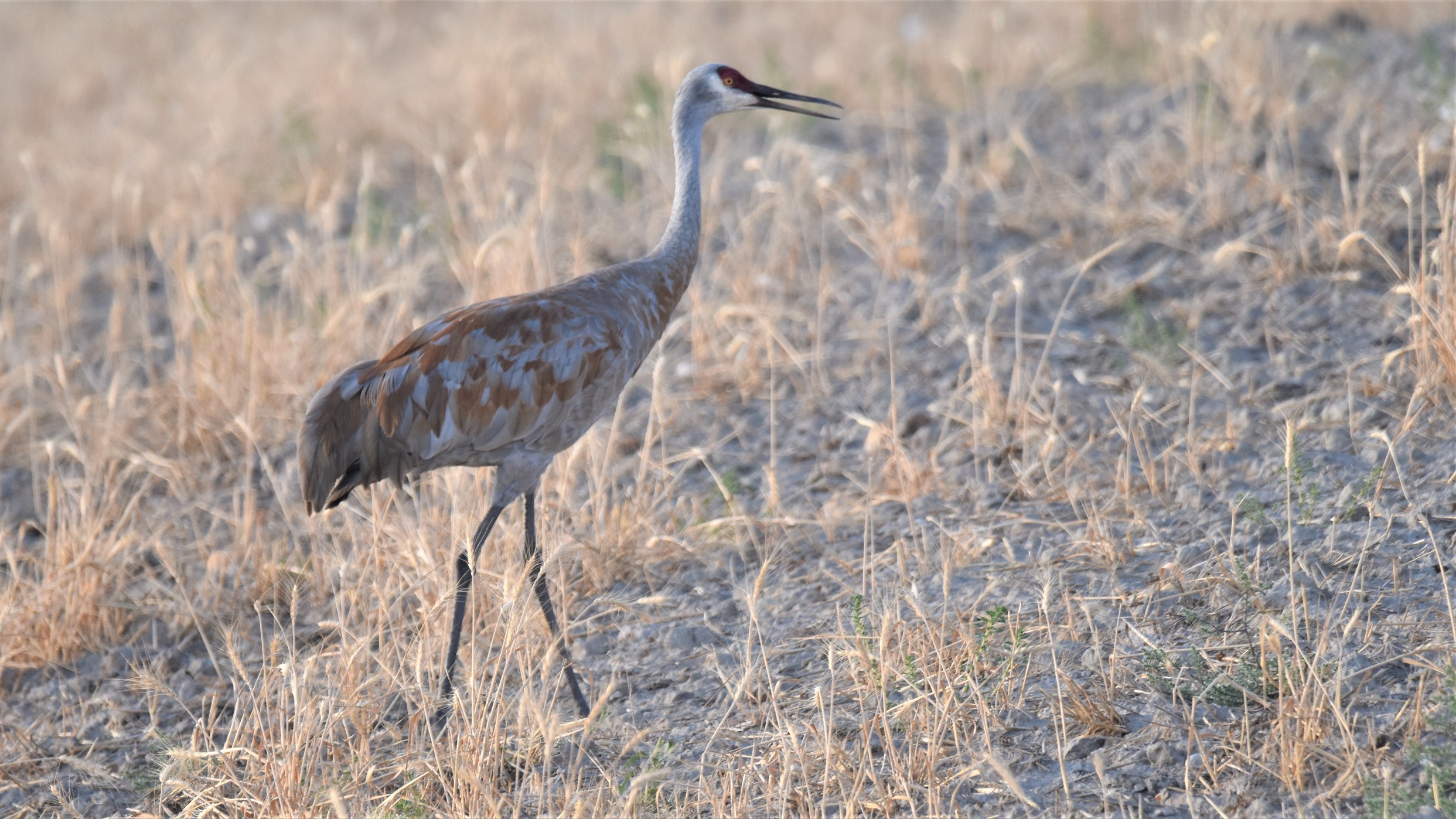
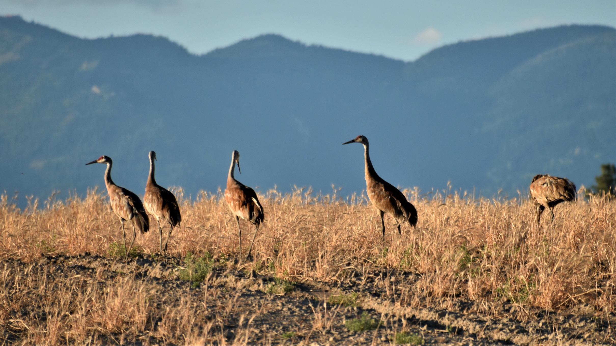
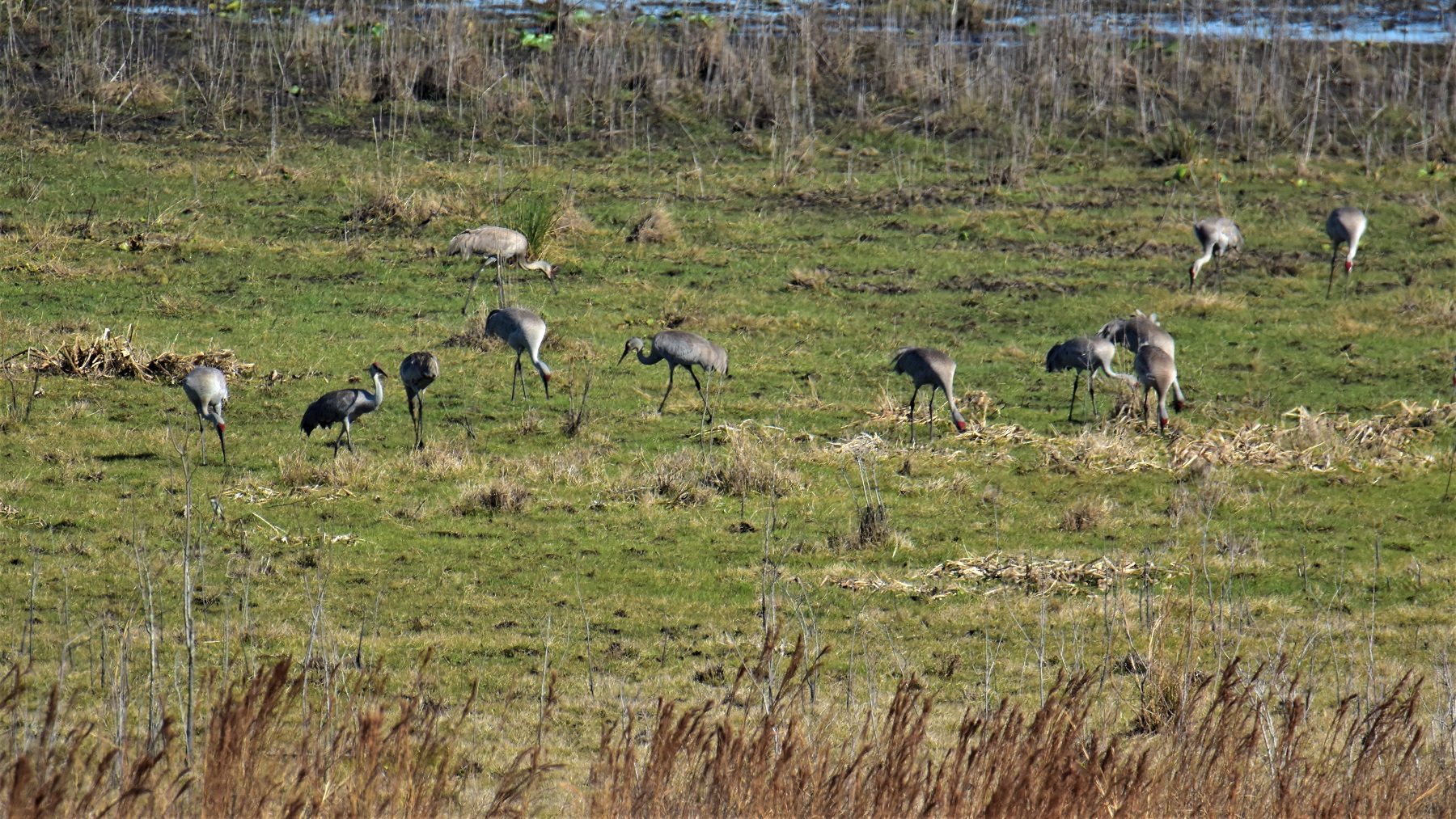 Pynes Prairie is the winter home to thousands of Sandhill Cranes and it was an impressive sight to climb the observation tower at the Visitors Center and see cranes in the wetlands as far to the north as you could see. When we were arriving at Gainesville, we saw a small field beside the highway where dozens of cranes were enjoying a marshy meadow.
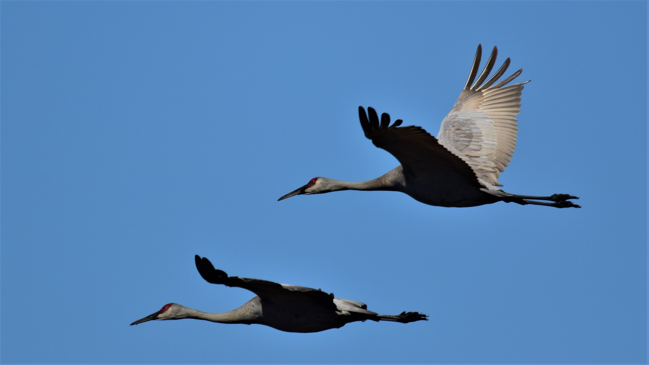
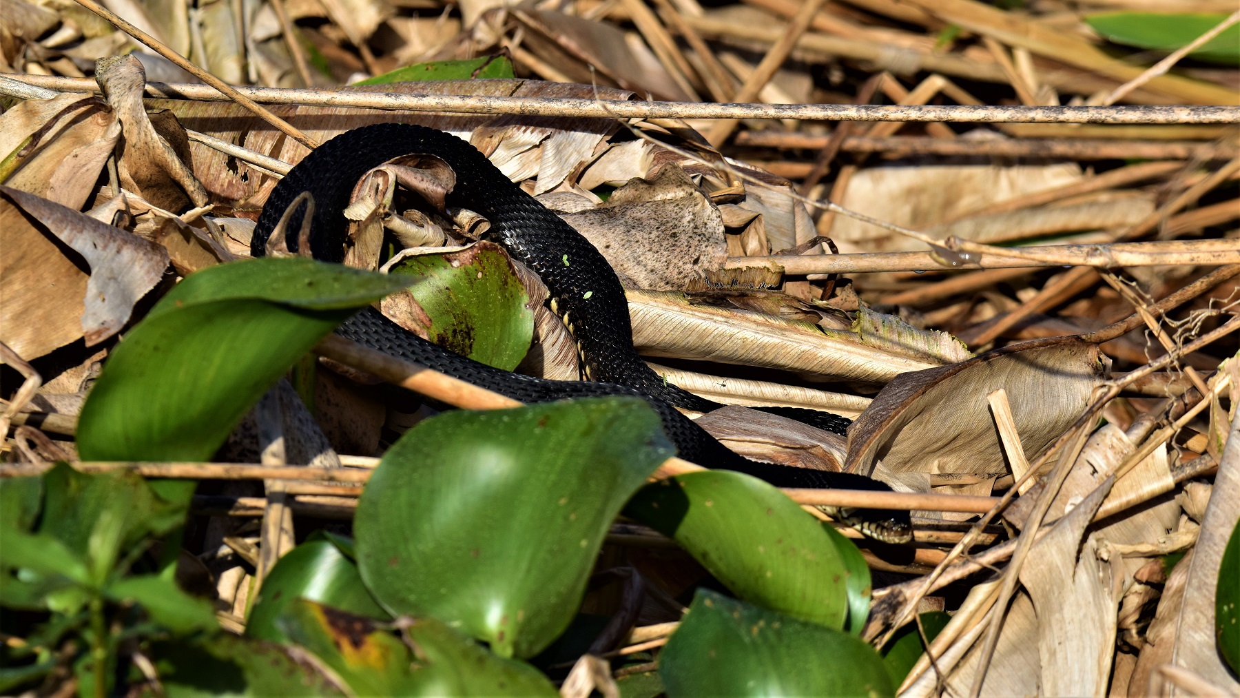
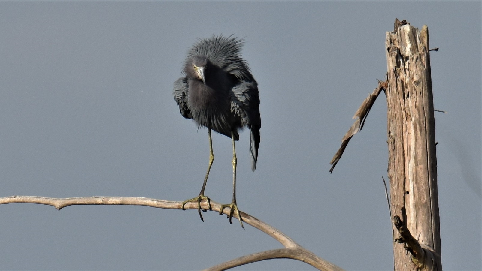
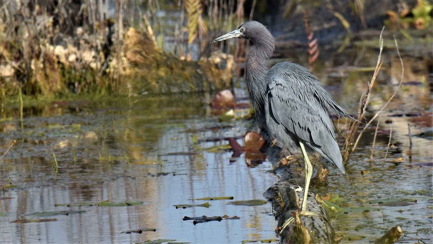
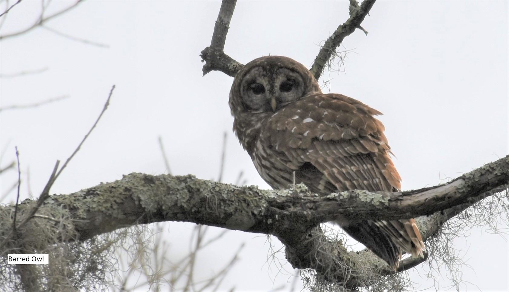
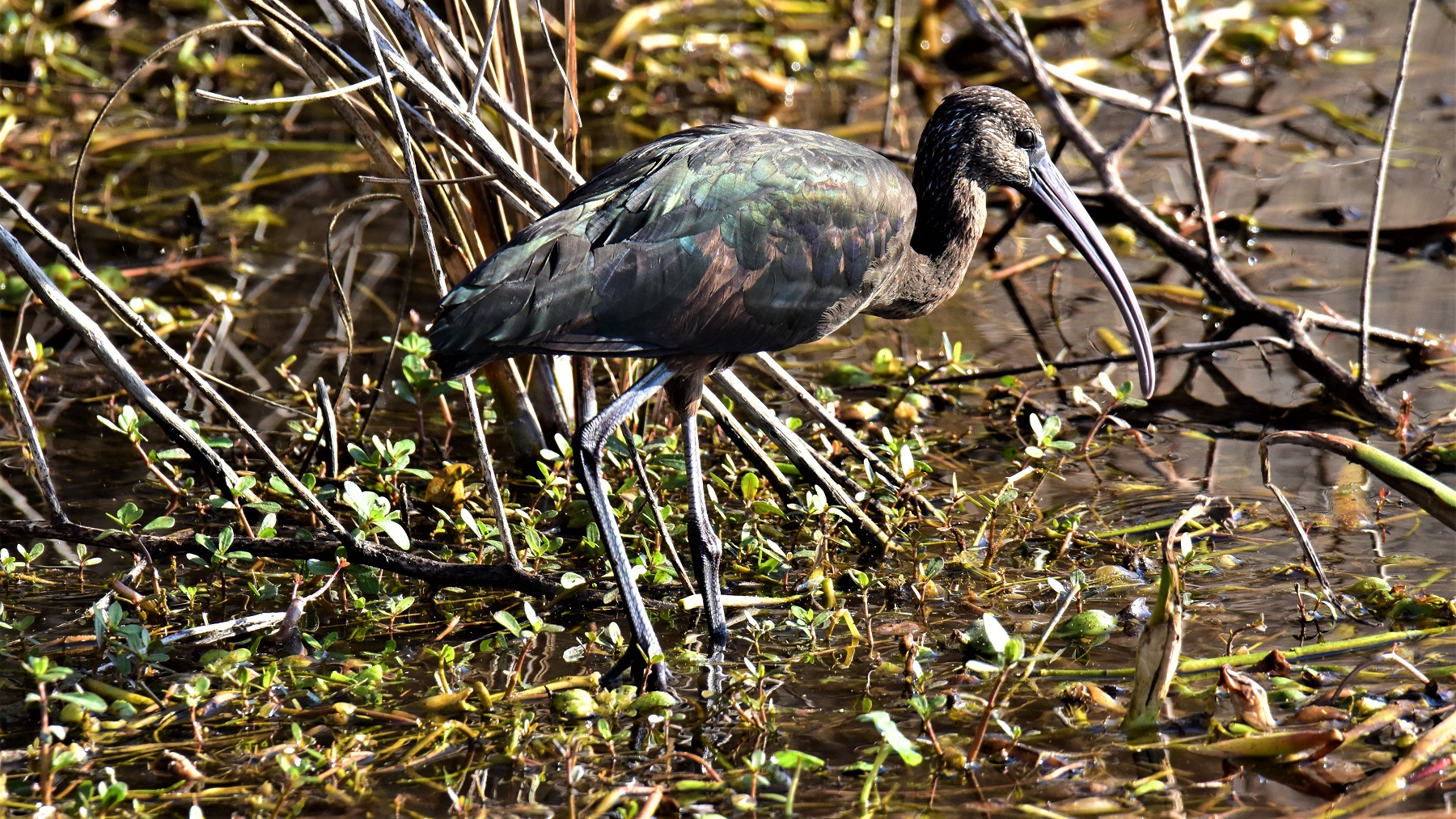
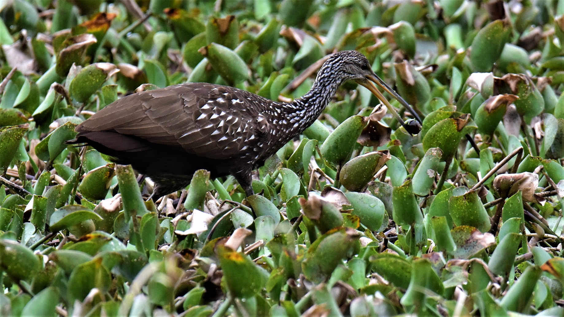 The Limpkin is large, long-legged and loud. You can certainly hear a Limpkin from a distance. They wade and probe for snails with their long beaks.
 One morning we just happened upon one that was feeding in the water close to a viewing area and we discovered that what we had thought of as black feathers were actually a lovely shade of green in the sunlight.
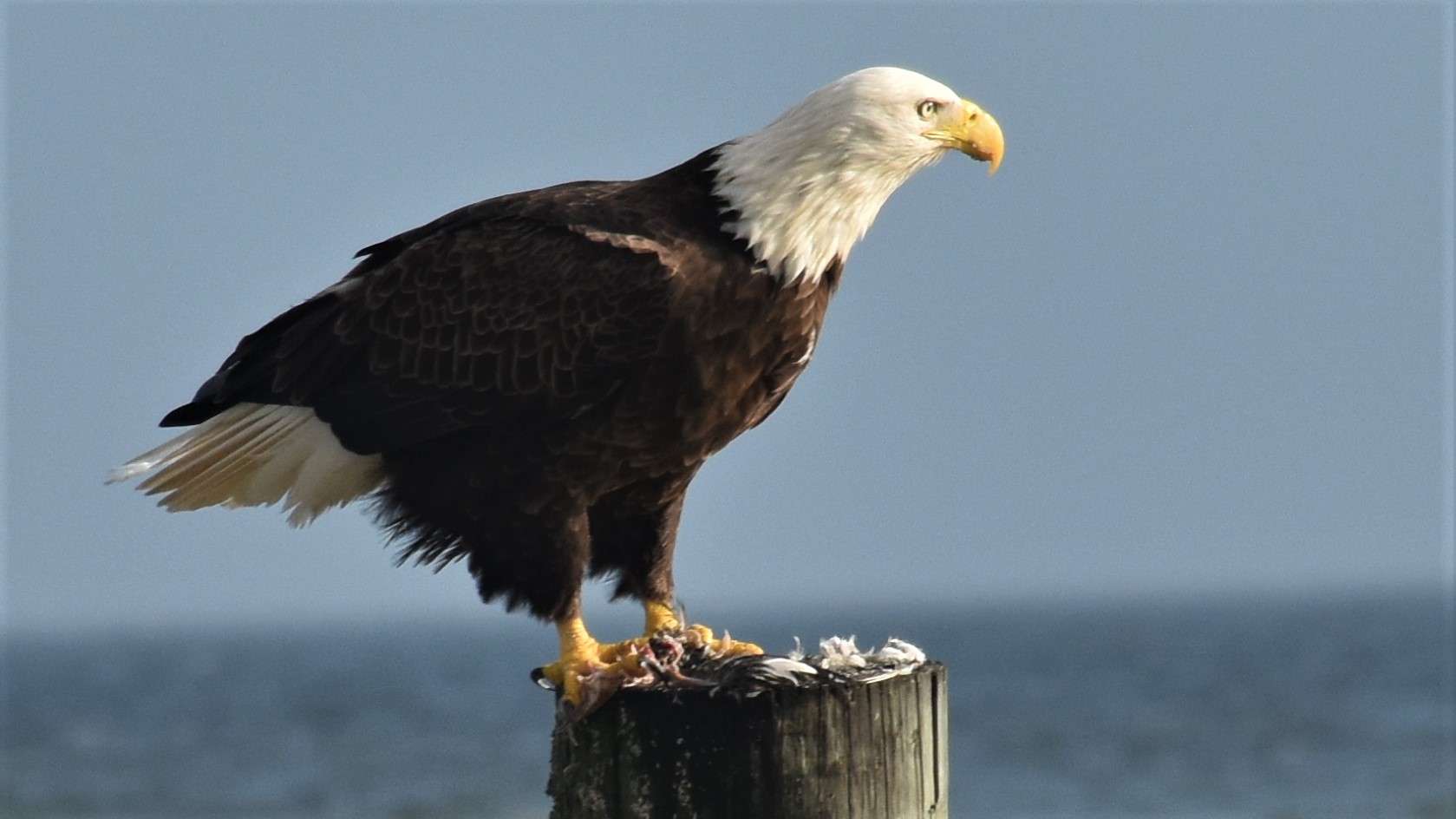
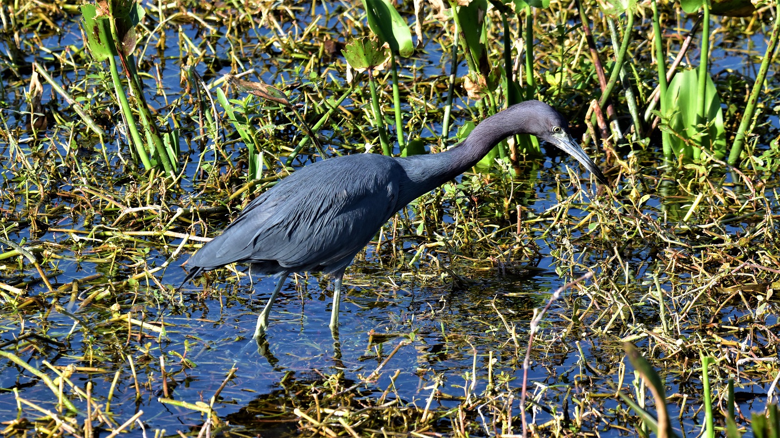 .
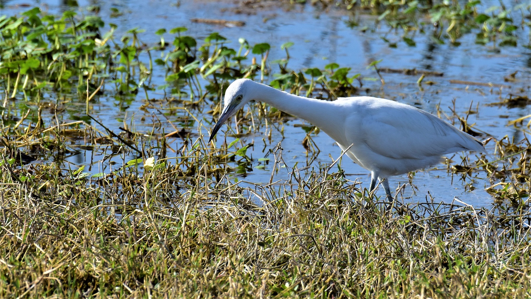
.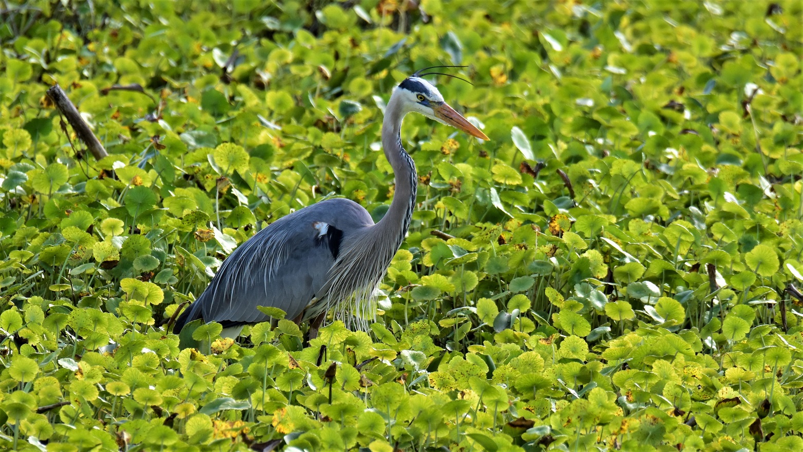 We never tire of watching them.
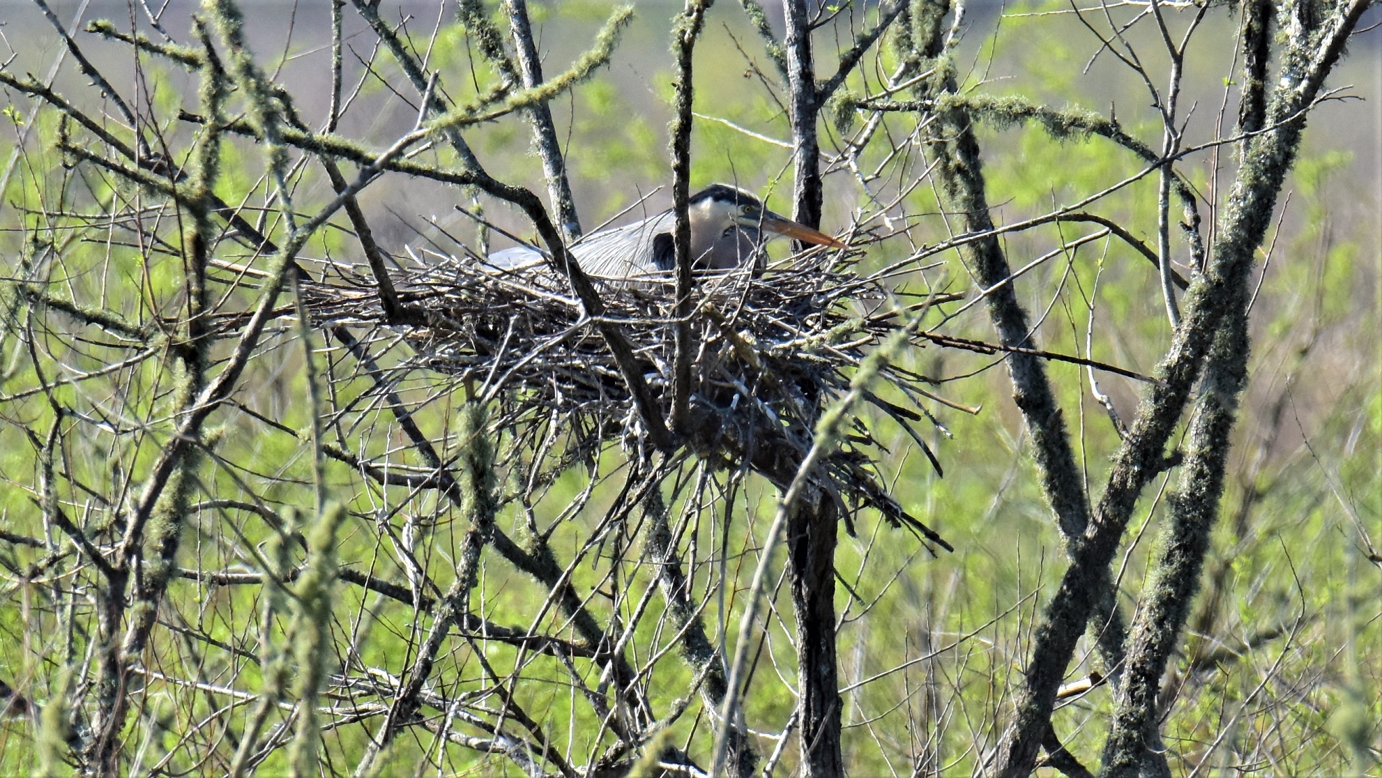

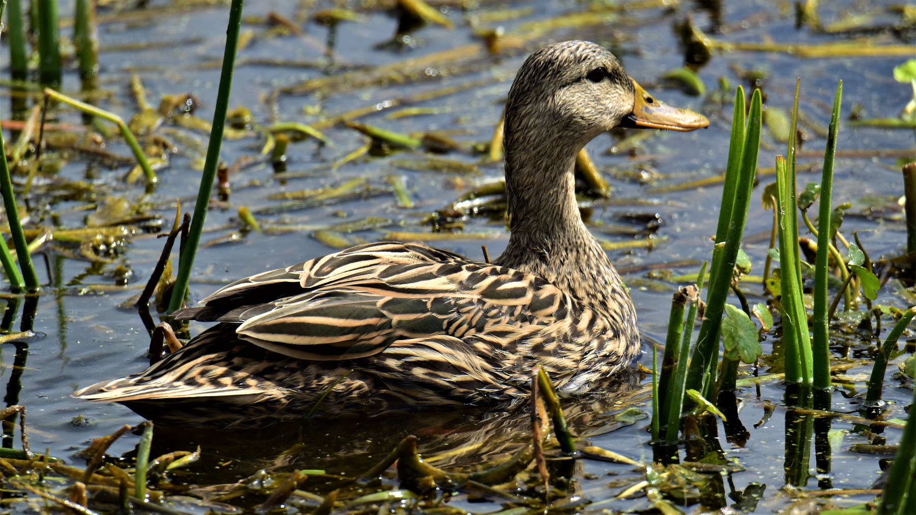
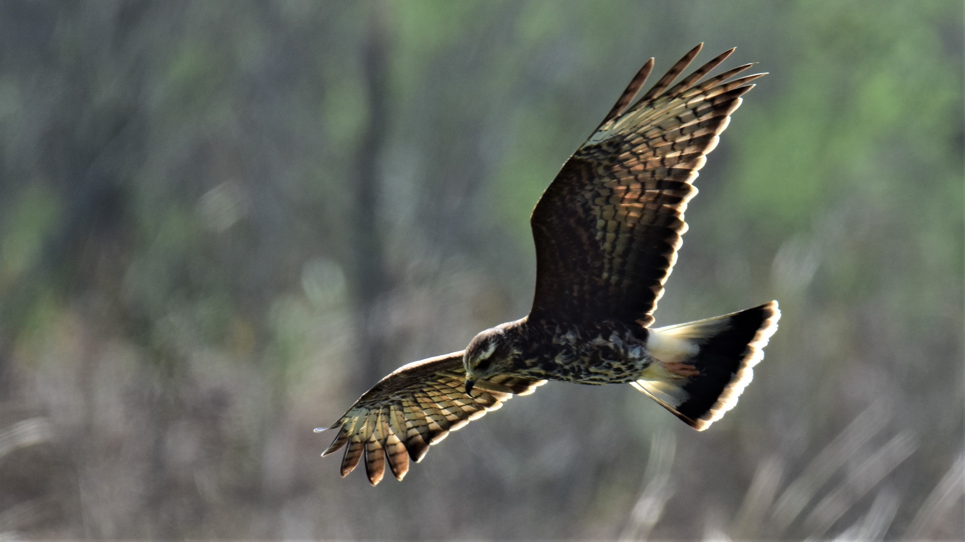
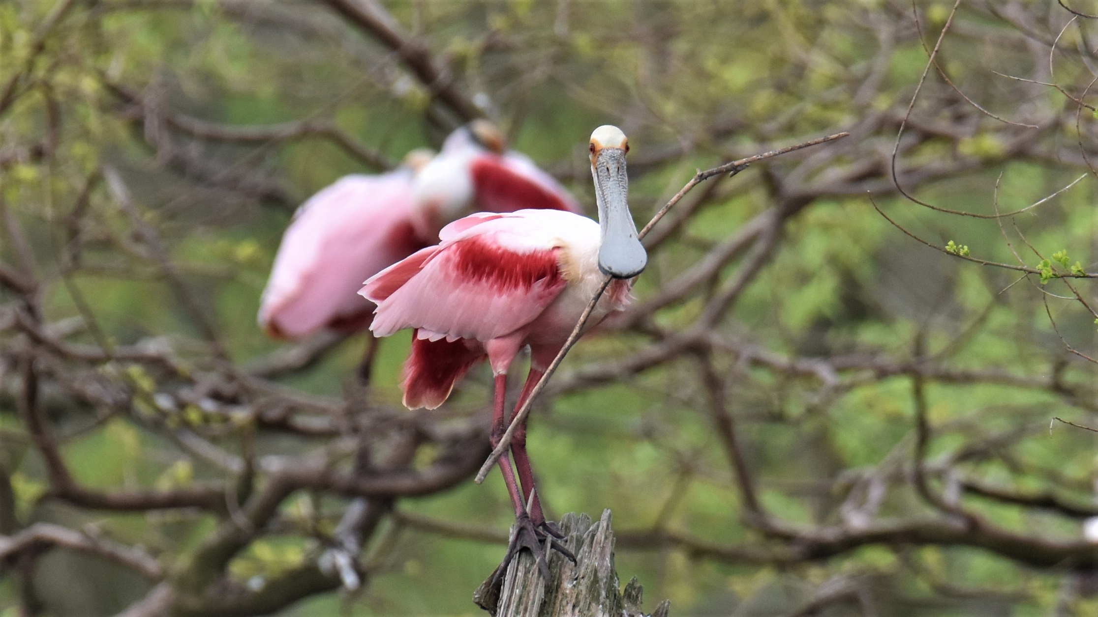
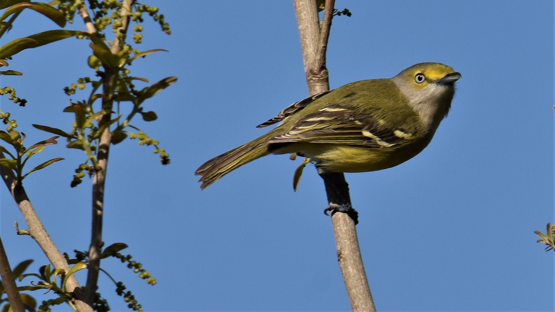
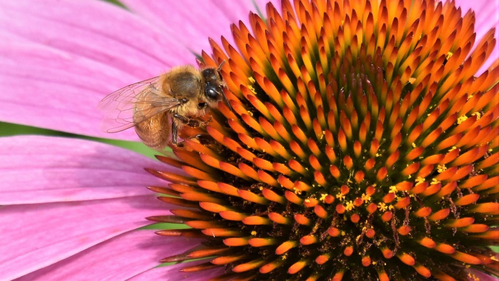
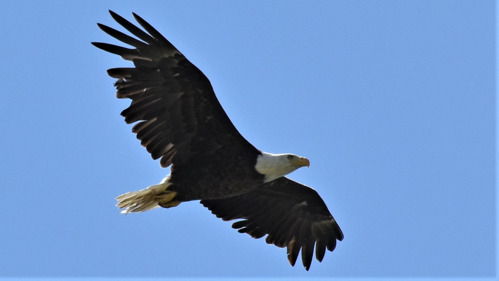
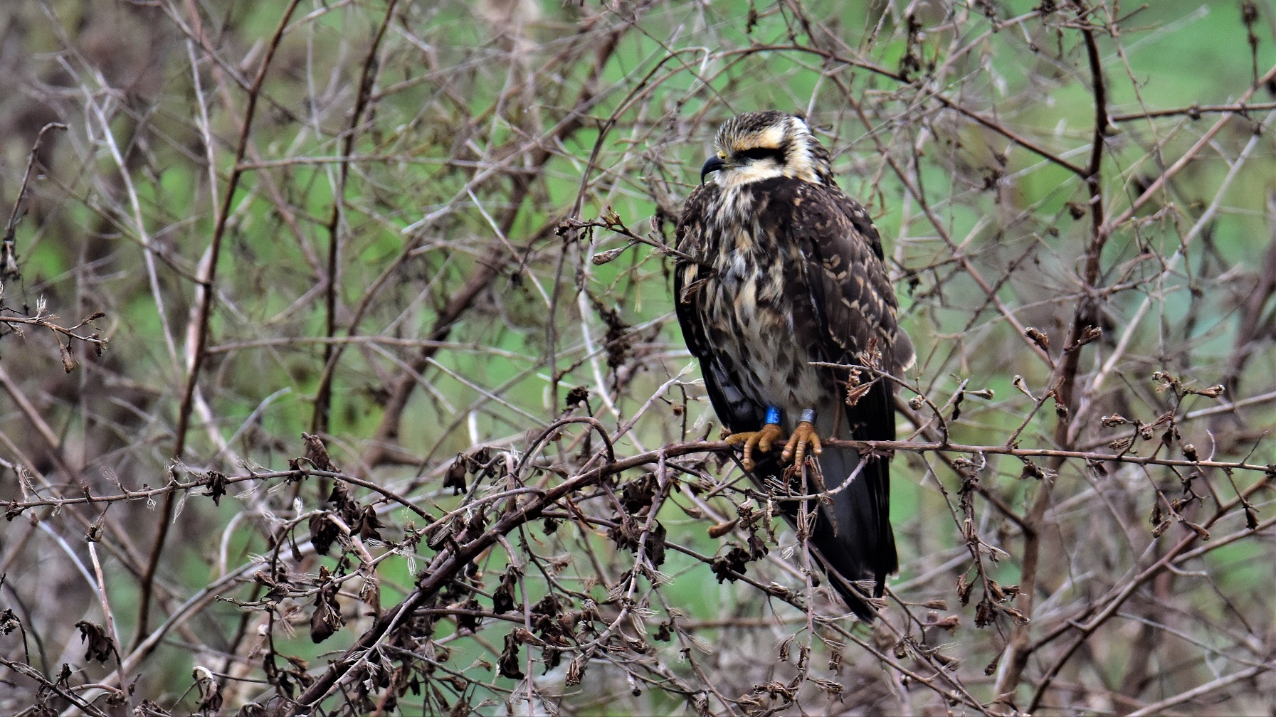
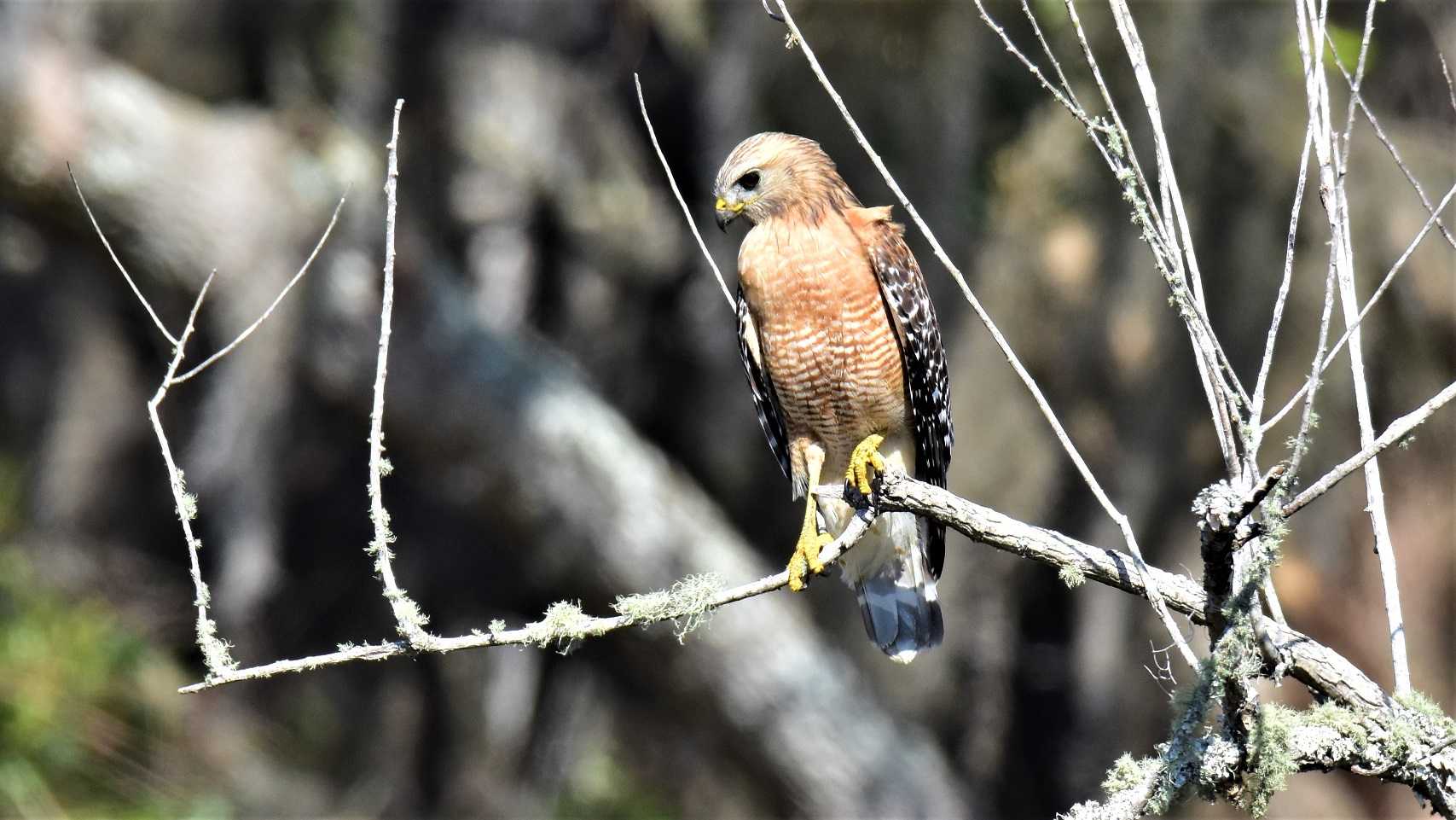 Red-shouldered Hawks are another fairly common bird in Florida; we have seen quite a few.